Hill City is a city and county seat of Graham County, Kansas, United States. As of the 2020 census, the population of the city was 1,403.
| Name: | Hill City city |
|---|---|
| LSAD Code: | 25 |
| LSAD Description: | city (suffix) |
| State: | Kansas |
| County: | Graham County |
| Founded: | 1876 |
| Incorporated: | 1888 |
| Elevation: | 2,185 ft (666 m) |
| Total Area: | 1.00 sq mi (2.60 km²) |
| Land Area: | 1.00 sq mi (2.60 km²) |
| Water Area: | 0.00 sq mi (0.00 km²) |
| Total Population: | 1,403 |
| Population Density: | 1,400/sq mi (540/km²) |
| ZIP code: | 67642 |
| Area code: | 785 |
| FIPS code: | 2032175 |
Online Interactive Map
Click on ![]() to view map in "full screen" mode.
to view map in "full screen" mode.
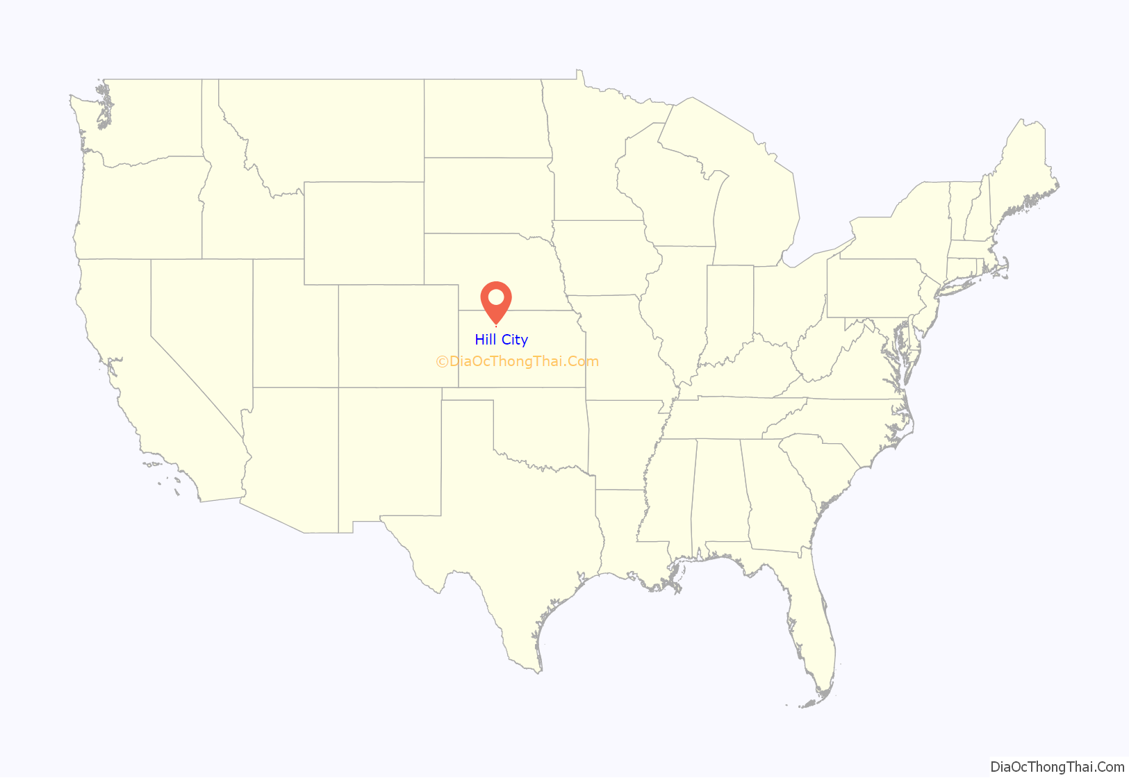
Hill City location map. Where is Hill City city?
History
The first settlement at Hill City was made in 1876, making it the oldest town in Graham County. The community was named after W. R. Hill, a first settler. Hill City was platted in 1878. The first post office in Hill City was established in September 1878. Hill City was designated county seat in 1880. By 1915, Hill City had 647 inhabitants.
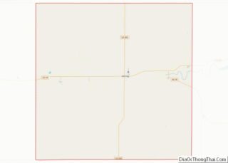
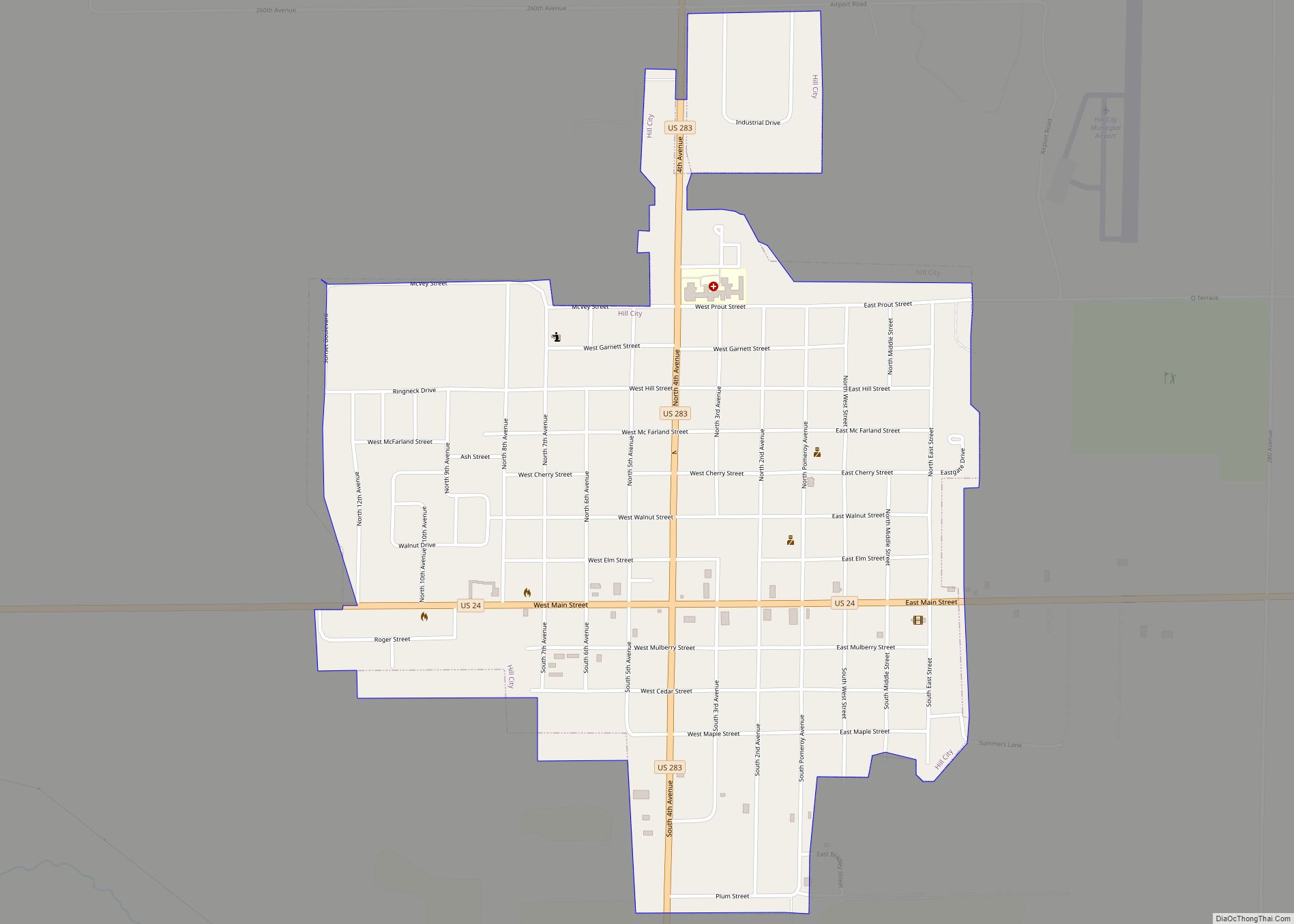
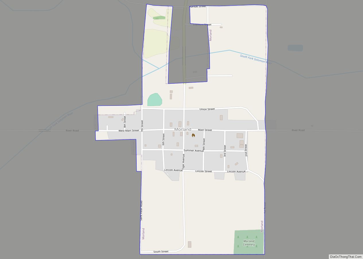
Hill City Road Map
Hill City city Satellite Map
Geography
Hill City is located at 39°22′02″N 99°50′44″W / 39.367319°N 99.845558°W / 39.367319; -99.845558 (39.367319, -99.845558). According to the United States Census Bureau, the city has a total area of 1.00 square mile (2.59 km), all land.
Climate
On June 9, 2005, a large tornado passed 1 mile south of Hill City. Another large tornado hit just north of the city on June 20, 2011.
On June 26, 2012, the temperature reached 115 °F (46 °C), breaking the June record tied just 2 days earlier and during the Dust Bowl on June 30, 1933; the town was the hottest city in the United States for four days in a row, with temperatures of 114°, 111°, 115°, and 115 °F (46°, 44°, 46°, and 46 °C).
See also
Map of Kansas State and its subdivision:- Allen
- Anderson
- Atchison
- Barber
- Barton
- Bourbon
- Brown
- Butler
- Chase
- Chautauqua
- Cherokee
- Cheyenne
- Clark
- Clay
- Cloud
- Coffey
- Comanche
- Cowley
- Crawford
- Decatur
- Dickinson
- Doniphan
- Douglas
- Edwards
- Elk
- Ellis
- Ellsworth
- Finney
- Ford
- Franklin
- Geary
- Gove
- Graham
- Grant
- Gray
- Greeley
- Greenwood
- Hamilton
- Harper
- Harvey
- Haskell
- Hodgeman
- Jackson
- Jefferson
- Jewell
- Johnson
- Kearny
- Kingman
- Kiowa
- Labette
- Lane
- Leavenworth
- Lincoln
- Linn
- Logan
- Lyon
- Marion
- Marshall
- McPherson
- Meade
- Miami
- Mitchell
- Montgomery
- Morris
- Morton
- Nemaha
- Neosho
- Ness
- Norton
- Osage
- Osborne
- Ottawa
- Pawnee
- Phillips
- Pottawatomie
- Pratt
- Rawlins
- Reno
- Republic
- Rice
- Riley
- Rooks
- Rush
- Russell
- Saline
- Scott
- Sedgwick
- Seward
- Shawnee
- Sheridan
- Sherman
- Smith
- Stafford
- Stanton
- Stevens
- Sumner
- Thomas
- Trego
- Wabaunsee
- Wallace
- Washington
- Wichita
- Wilson
- Woodson
- Wyandotte
- Alabama
- Alaska
- Arizona
- Arkansas
- California
- Colorado
- Connecticut
- Delaware
- District of Columbia
- Florida
- Georgia
- Hawaii
- Idaho
- Illinois
- Indiana
- Iowa
- Kansas
- Kentucky
- Louisiana
- Maine
- Maryland
- Massachusetts
- Michigan
- Minnesota
- Mississippi
- Missouri
- Montana
- Nebraska
- Nevada
- New Hampshire
- New Jersey
- New Mexico
- New York
- North Carolina
- North Dakota
- Ohio
- Oklahoma
- Oregon
- Pennsylvania
- Rhode Island
- South Carolina
- South Dakota
- Tennessee
- Texas
- Utah
- Vermont
- Virginia
- Washington
- West Virginia
- Wisconsin
- Wyoming
