Quentin is an unincorporated community and census-designated place (CDP) in Lebanon County, Pennsylvania, United States. It was named after Quentin Roosevelt, youngest son of President Theodore Roosevelt. The population was 594 at the 2010 census, up from 529 at the 2000 census. Quentin CDP overview: Name: Quentin CDP LSAD Code: 57 LSAD Description: CDP (suffix) ... Read more
Pennsylvania Cities and Places
Queens Gate is a census-designated place (CDP) in York County, Pennsylvania, United States. The population was 1,464 at the 2010 census. The area was part of the Tyler Run-Queens Gate CDP at the 2000 census. Queens Gate CDP overview: Name: Queens Gate CDP LSAD Code: 57 LSAD Description: CDP (suffix) State: Pennsylvania County: York County ... Read more
Quarryville is a borough in Lancaster County, Pennsylvania, United States. The population was 2,852 at the 2020 census, an increase over the figure of 2,576 tabulated in 2010. Quarryville borough overview: Name: Quarryville borough LSAD Code: 21 LSAD Description: borough (suffix) State: Pennsylvania County: Lancaster County Founded: 1791 Incorporated: 1892 Elevation: 545 ft (166 m) Total Area: ... Read more
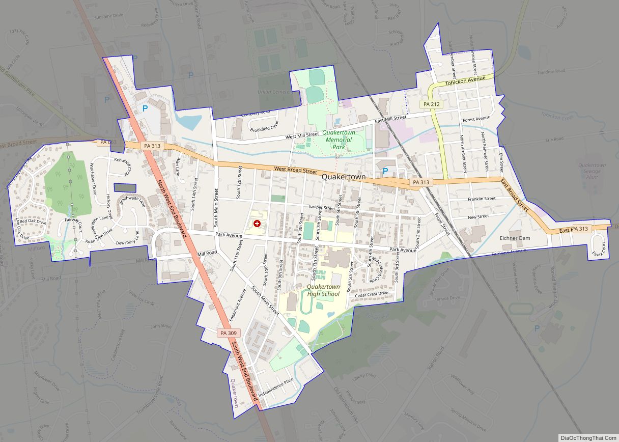
Quakertown is a borough in Bucks County, Pennsylvania, United States. As of 2020, it had a population of 9,359. The borough is 15 miles (24 km) south of Allentown and Bethlehem and 40 miles (64 km) north of Philadelphia, making Quakertown a border town of both the Delaware Valley and Lehigh Valley metropolitan areas. Quakertown is considered ... Read more
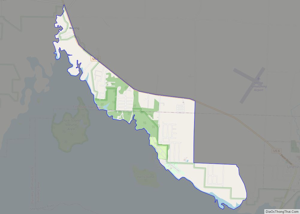
Pymatuning South is a census-designated place (CDP) in Crawford County, Pennsylvania, United States. The population was 479 at the 2010 census. Pymatuning South CDP overview: Name: Pymatuning South CDP LSAD Code: 57 LSAD Description: CDP (suffix) State: Pennsylvania County: Crawford County Total Area: 2.60 sq mi (6.74 km²) Land Area: 2.59 sq mi (6.71 km²) Water Area: 0.01 sq mi (0.03 km²) Total Population: ... Read more
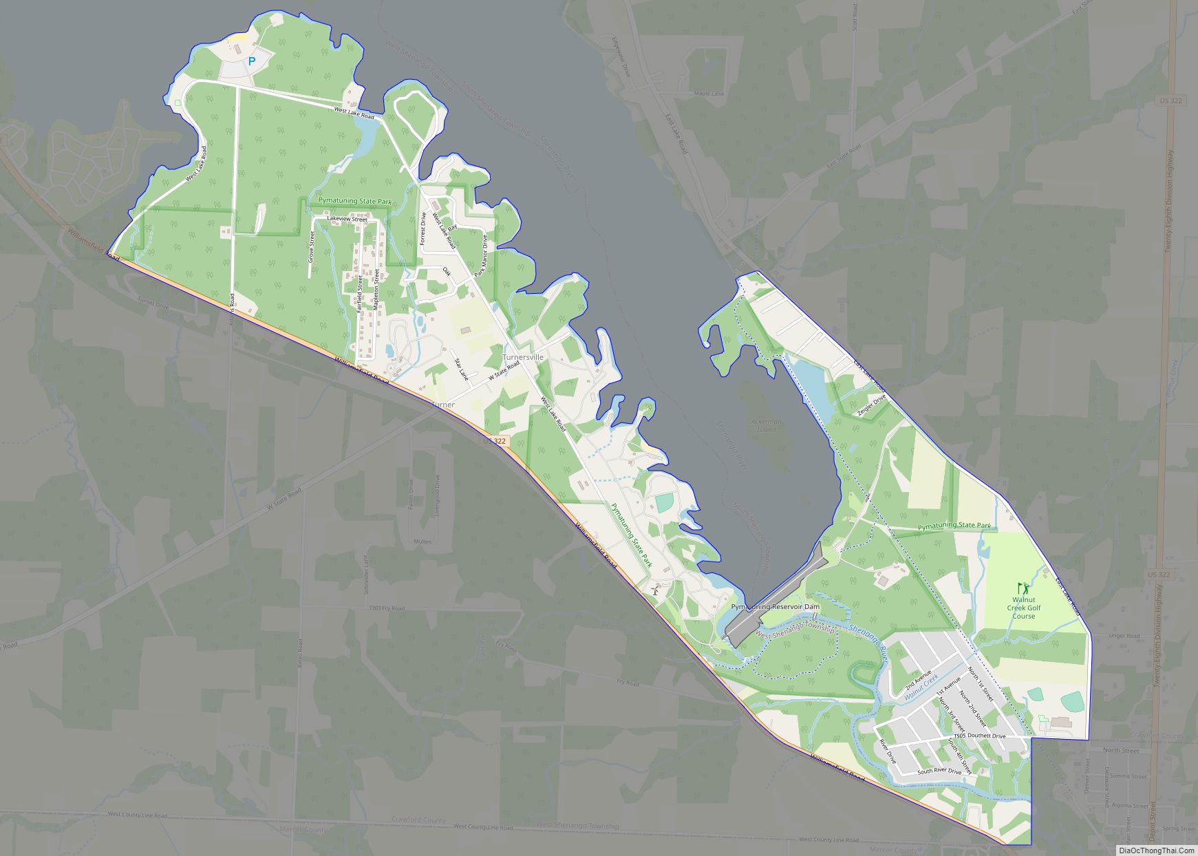
Pymatuning North is a census-designated place (CDP) in Crawford County, Pennsylvania, United States. The population was 311 at the 2010 census. Pymatuning North CDP overview: Name: Pymatuning North CDP LSAD Code: 57 LSAD Description: CDP (suffix) State: Pennsylvania County: Crawford County Elevation: 1,060 ft (320 m) Total Area: 1.91 sq mi (4.94 km²) Land Area: 1.90 sq mi (4.93 km²) Water Area: 0.00 sq mi ... Read more
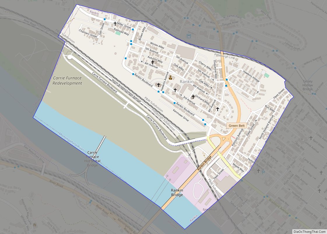
Rankin is a borough in Allegheny County, Pennsylvania, United States, 8 miles (13 km) south of Pittsburgh on the Monongahela River. The borough was named after Thomas Rankin, a local landowner. Early in the 20th century, Rankin specialized in manufacturing steel and wire goods. The population increased from 3,775 in 1900 to 7,470 in 1940, and ... Read more
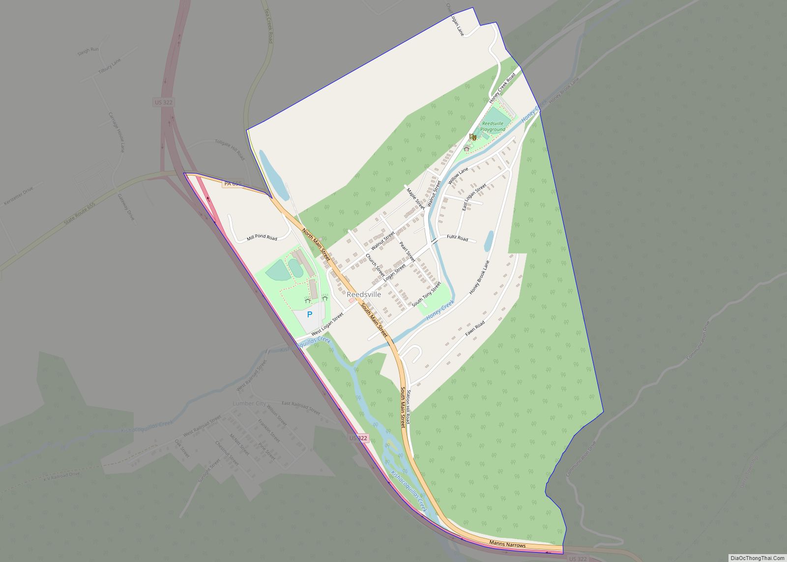
Reedsville is a census-designated place (CDP) in the Kishacoquillas Valley of Mifflin County, Pennsylvania, United States. The population was 641 at the 2010 census. Reedsville has a high Amish population. Reedsville CDP overview: Name: Reedsville CDP LSAD Code: 57 LSAD Description: CDP (suffix) State: Pennsylvania County: Mifflin County Elevation: 592 ft (180 m) Total Area: 0.68 sq mi (1.77 km²) ... Read more
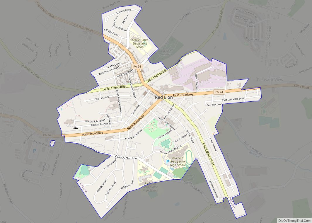
Red Lion (Pennsylvania Dutch: Rot Leeb) is a borough in York County, Pennsylvania, United States, settled in 1852 and incorporated on January 16, 1880. The population was 6,506 at the 2020 census. Red Lion borough overview: Name: Red Lion borough LSAD Code: 21 LSAD Description: borough (suffix) State: Pennsylvania County: York County Incorporated: January 16, ... Read more
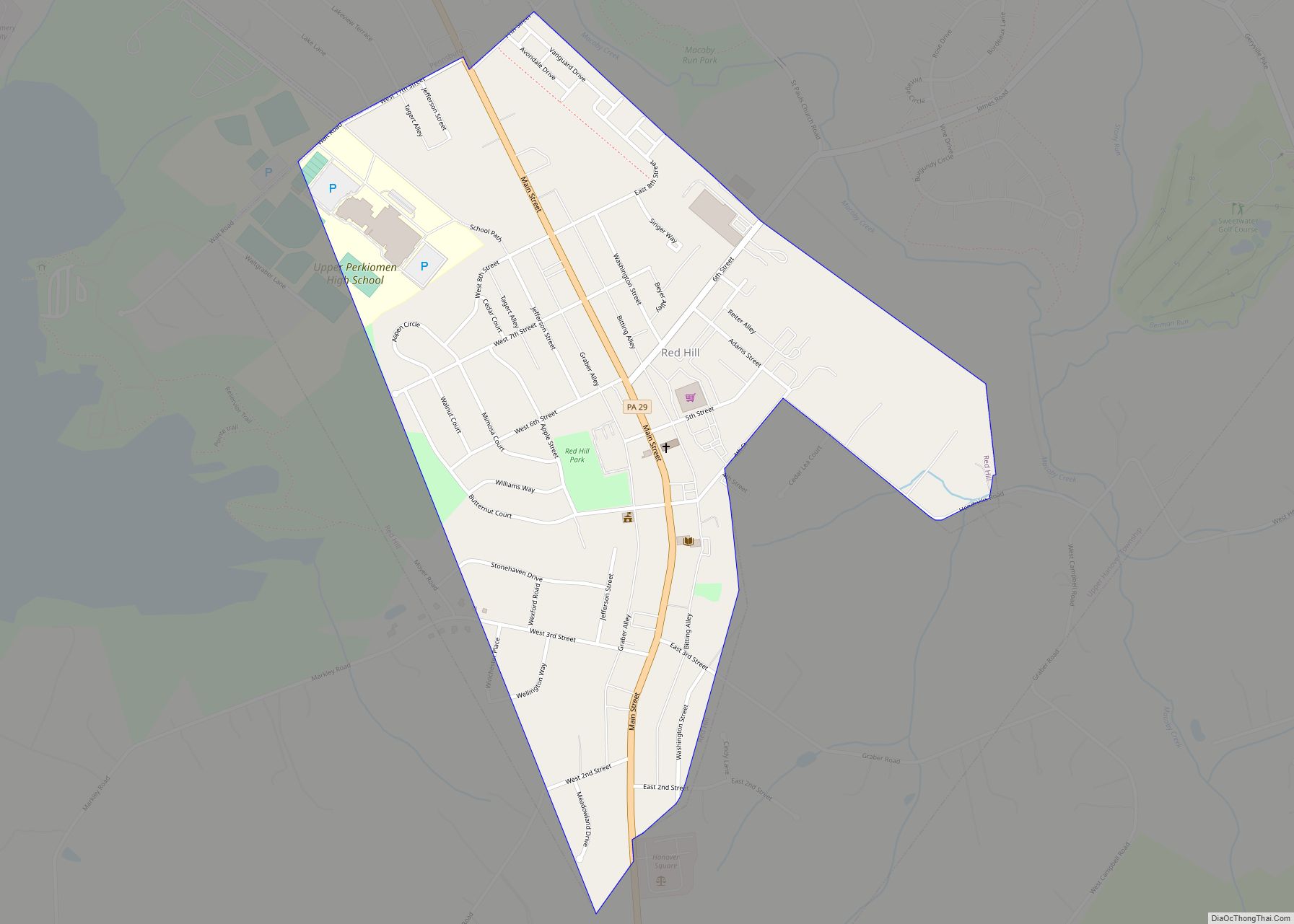
Red Hill is a borough in Montgomery County, Pennsylvania, United States. It is primarily a lakeshore, lowlands, suburban community northwest of Philadelphia in the Delaware River Valley watershed, as is the balance of its county. Its population was 2,383 at the 2010 census. Red Hill is served by the Upper Perkiomen School District. It is ... Read more
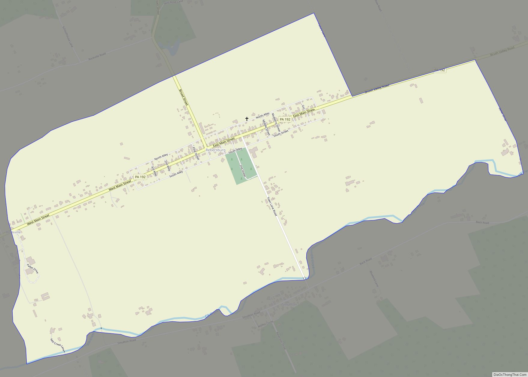
Rebersburg is an unincorporated community and census-designated place (CDP) in Centre County, Pennsylvania, United States. Rebersburg is part of the State College, Pennsylvania Metropolitan Statistical Area. The official town Mayor is Mr. Matthew S. Dunlap(Republican). The mayor was instrumental in securing funds for the purchase of Engine-Rescue 19 as well as funding for the purchase ... Read more
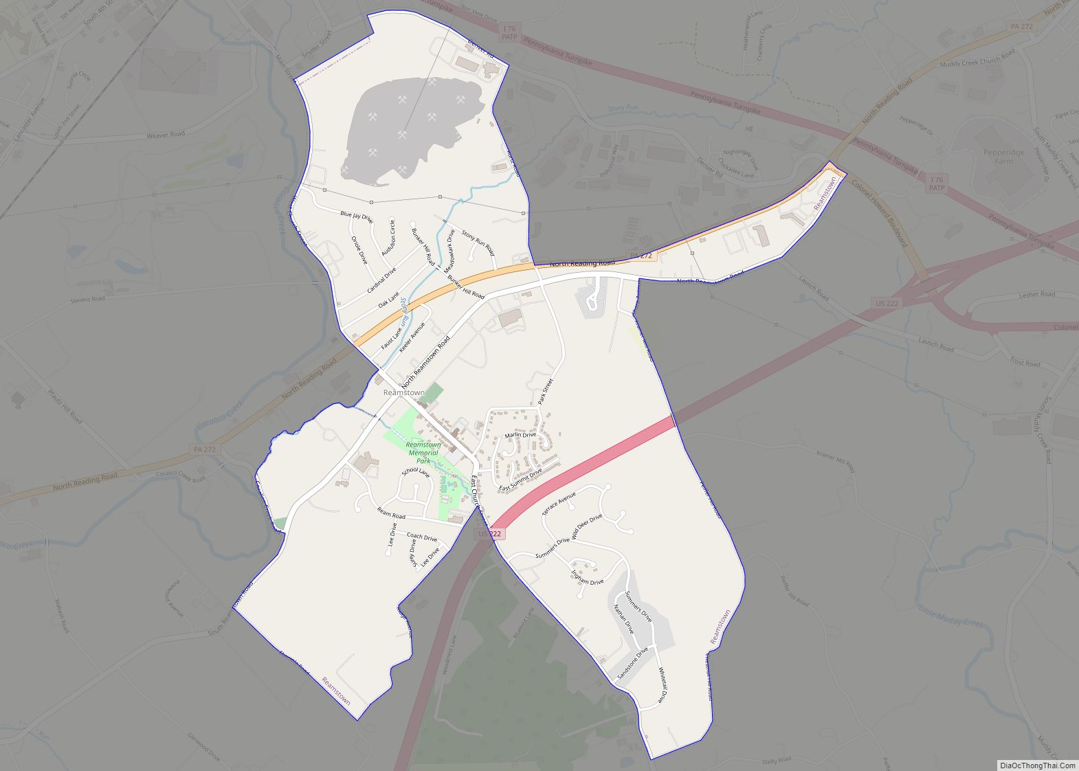
Reamstown (Pennsylvania Dutch: Riemeschteddel) is an unincorporated community and census-designated place (CDP) in Lancaster County, Pennsylvania, United States. The population was 3,361 at the 2010 census. Reamstown CDP overview: Name: Reamstown CDP LSAD Code: 57 LSAD Description: CDP (suffix) State: Pennsylvania County: Lancaster County Elevation: 392 ft (119 m) Total Area: 2.27 sq mi (5.88 km²) Land Area: 2.26 sq mi (5.85 km²) ... Read more


