Quentin is an unincorporated community and census-designated place (CDP) in Lebanon County, Pennsylvania, United States. It was named after Quentin Roosevelt, youngest son of President Theodore Roosevelt. The population was 594 at the 2010 census, up from 529 at the 2000 census.
| Name: | Quentin CDP |
|---|---|
| LSAD Code: | 57 |
| LSAD Description: | CDP (suffix) |
| State: | Pennsylvania |
| County: | Lebanon County |
| Elevation: | 560 ft (170 m) |
| Total Area: | 1.09 sq mi (2.83 km²) |
| Land Area: | 1.09 sq mi (2.83 km²) |
| Water Area: | 0.00 sq mi (0.00 km²) |
| Total Population: | 755 |
| Population Density: | 691.39/sq mi (266.87/km²) |
| ZIP code: | 17083 |
| FIPS code: | 4263160 |
| GNISfeature ID: | 1184550 |
Online Interactive Map
Click on ![]() to view map in "full screen" mode.
to view map in "full screen" mode.
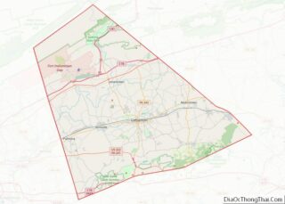
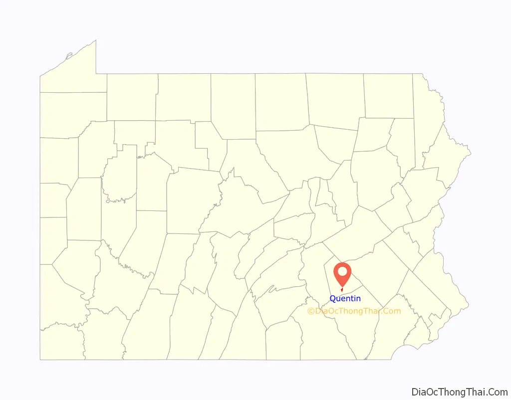
Quentin location map. Where is Quentin CDP?

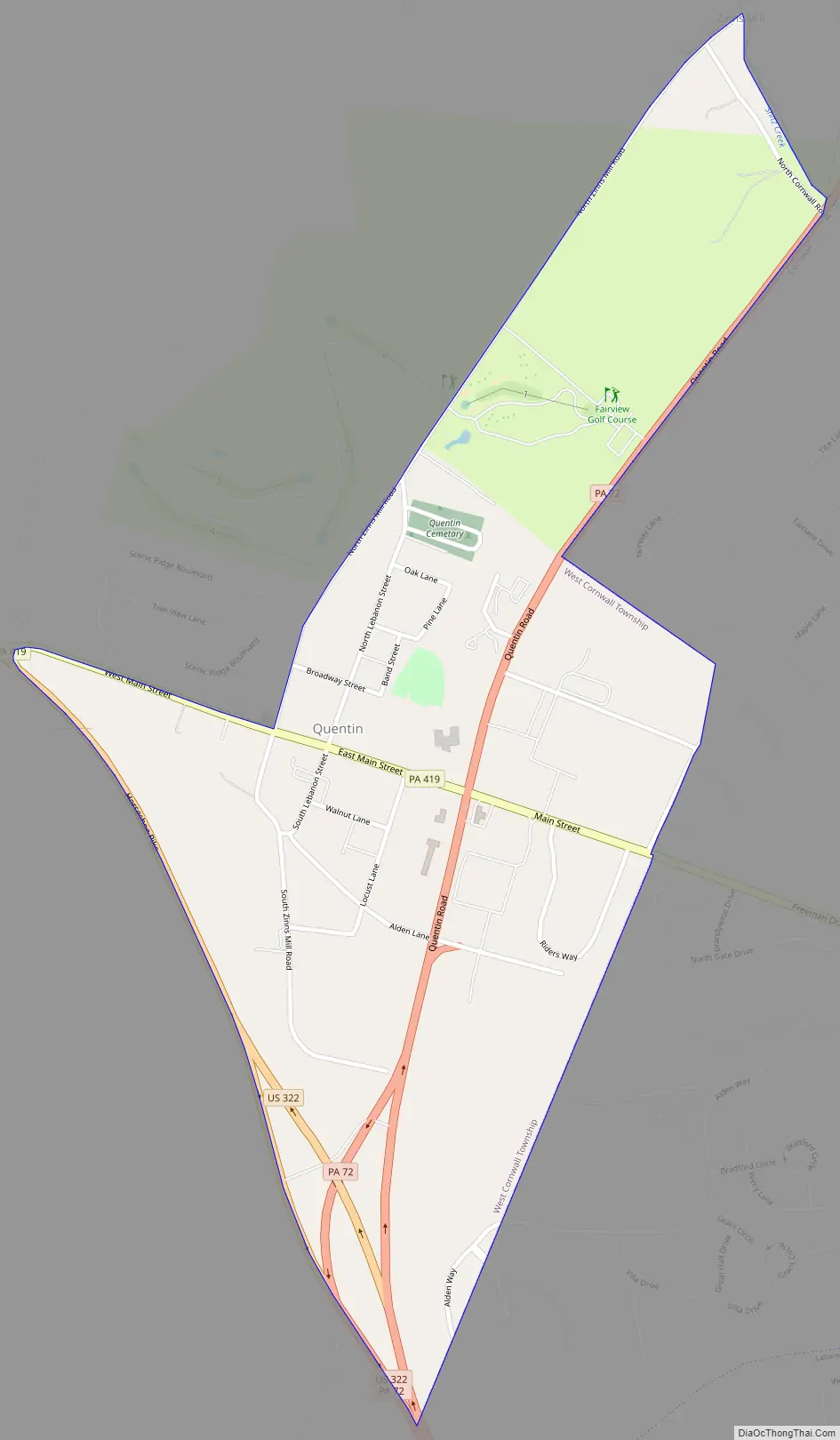
Quentin Road Map
Quentin city Satellite Map
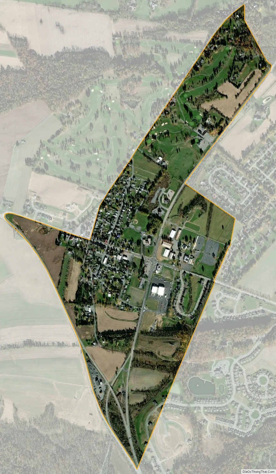
Geography
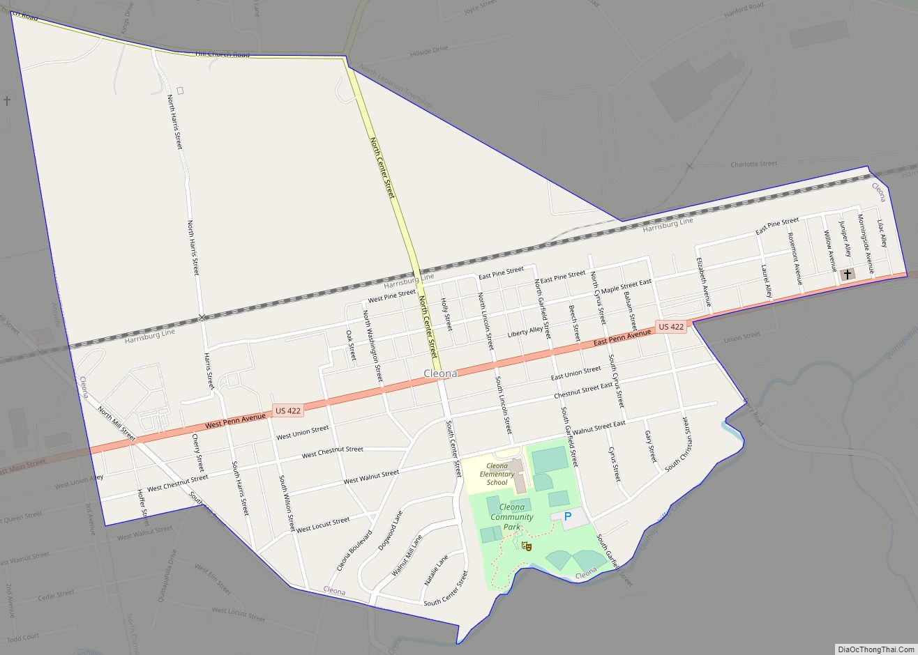
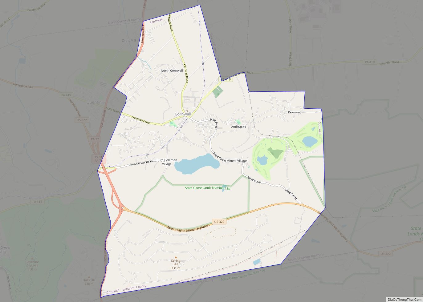
Quentin is located in southern Lebanon County, in the northeast corner of West Cornwall Township. It is bordered to the east by the borough of Cornwall.
U.S. Route 322 forms the southwestern edge of the Quentin CDP; it leads west 26 miles (42 km) to Harrisburg, the state capital, and southeast 17 miles (27 km) to Ephrata in Lancaster County. Pennsylvania Route 72 runs through the eastern side of Quentin, leading north 4 miles (6 km) to Lebanon, the county seat, and south 19 miles (31 km) to Lancaster. Pennsylvania Route 419 passes through the center of Quentin, leading east 8 miles (13 km) to Schaefferstown.
According to the United States Census Bureau, the CDP has a total area of 0.64 square miles (1.65 km), all land. A tributary of Snitz Creek flows northward through the CDP, leading to Quittapahilla Creek (a tributary of Swatara Creek) in Cleona.
See also
Map of Pennsylvania State and its subdivision:- Adams
- Allegheny
- Armstrong
- Beaver
- Bedford
- Berks
- Blair
- Bradford
- Bucks
- Butler
- Cambria
- Cameron
- Carbon
- Centre
- Chester
- Clarion
- Clearfield
- Clinton
- Columbia
- Crawford
- Cumberland
- Dauphin
- Delaware
- Elk
- Erie
- Fayette
- Forest
- Franklin
- Fulton
- Greene
- Huntingdon
- Indiana
- Jefferson
- Juniata
- Lackawanna
- Lancaster
- Lawrence
- Lebanon
- Lehigh
- Luzerne
- Lycoming
- Mc Kean
- Mercer
- Mifflin
- Monroe
- Montgomery
- Montour
- Northampton
- Northumberland
- Perry
- Philadelphia
- Pike
- Potter
- Schuylkill
- Snyder
- Somerset
- Sullivan
- Susquehanna
- Tioga
- Union
- Venango
- Warren
- Washington
- Wayne
- Westmoreland
- Wyoming
- York
- Alabama
- Alaska
- Arizona
- Arkansas
- California
- Colorado
- Connecticut
- Delaware
- District of Columbia
- Florida
- Georgia
- Hawaii
- Idaho
- Illinois
- Indiana
- Iowa
- Kansas
- Kentucky
- Louisiana
- Maine
- Maryland
- Massachusetts
- Michigan
- Minnesota
- Mississippi
- Missouri
- Montana
- Nebraska
- Nevada
- New Hampshire
- New Jersey
- New Mexico
- New York
- North Carolina
- North Dakota
- Ohio
- Oklahoma
- Oregon
- Pennsylvania
- Rhode Island
- South Carolina
- South Dakota
- Tennessee
- Texas
- Utah
- Vermont
- Virginia
- Washington
- West Virginia
- Wisconsin
- Wyoming