Quarryville is a borough in Lancaster County, Pennsylvania, United States. The population was 2,852 at the 2020 census, an increase over the figure of 2,576 tabulated in 2010.
| Name: | Quarryville borough |
|---|---|
| LSAD Code: | 21 |
| LSAD Description: | borough (suffix) |
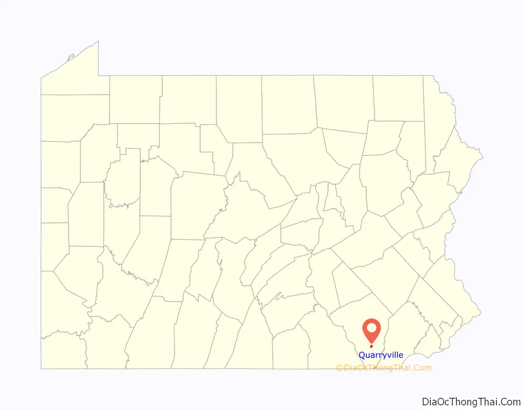
| State: | Pennsylvania |
| County: | Lancaster County |
| Founded: | 1791 |
| Incorporated: | 1892 |
| Elevation: | 545 ft (166 m) |
| Total Area: | 1.31 sq mi (3.40 km²) |
| Land Area: | 1.29 sq mi (3.34 km²) |
| Water Area: | 0.02 sq mi (0.05 km²) |
| Total Population: | 2,843 |
| Population Density: | 2,202.17/sq mi (850.10/km²) |
| ZIP code: | 17566 |
| FIPS code: | 4263064 |
| Website: | quarryvilleborough.com |
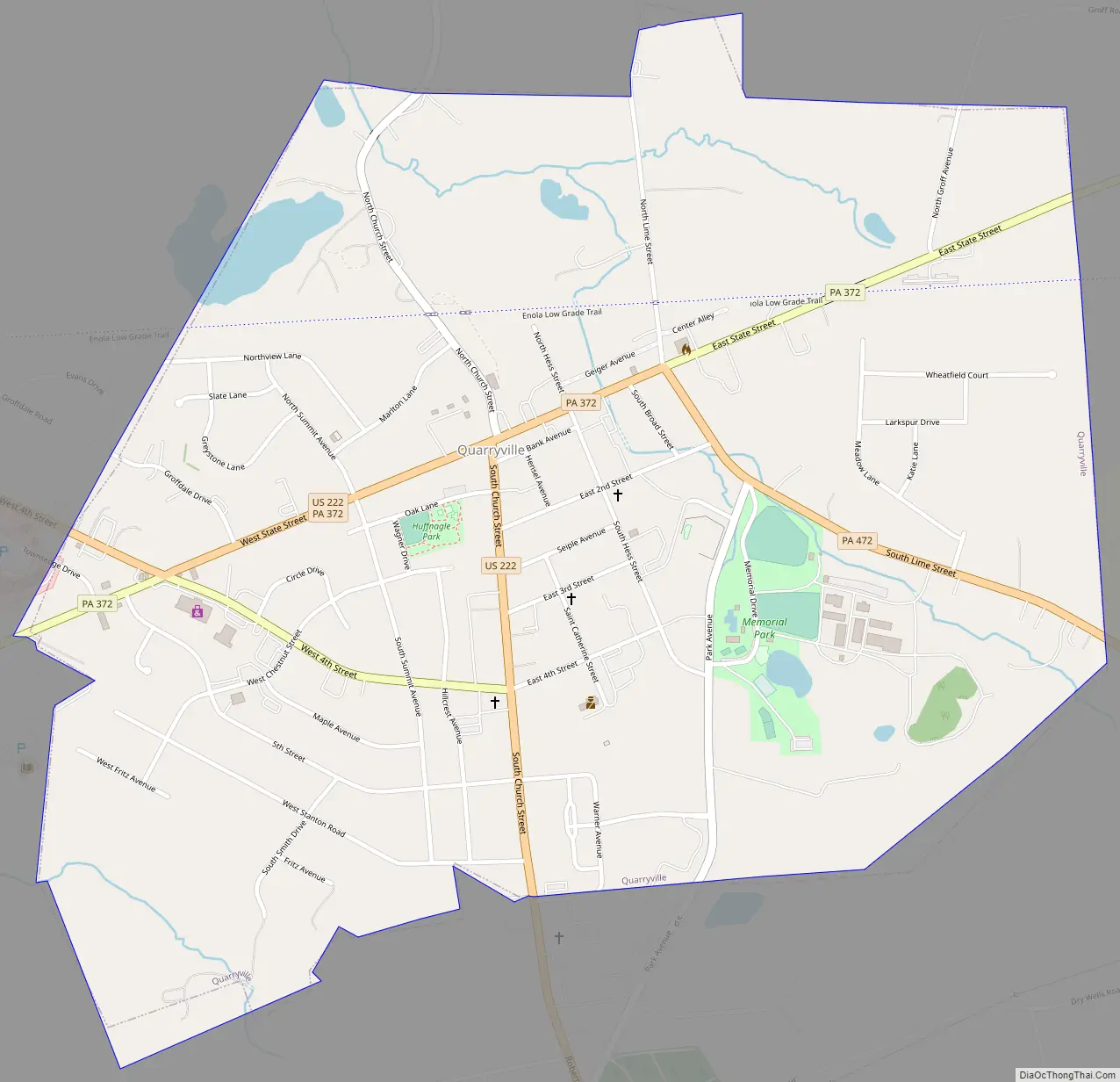
Online Interactive Map
Click on ![]() to view map in "full screen" mode.
to view map in "full screen" mode.
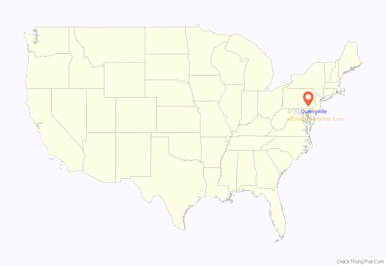
Quarryville location map. Where is Quarryville borough?
History
The land which became Quarryville Borough was originally located within Providence Township and was the property of a John (“Swamp John”) Groff. There was a stone quarry adjacent to the village where many of the workers lived. This village became larger as the work force grew, hence the town acquired the name “Quarryville”. Locals say that one day the men went to lunch and returned to find the quarry half-full of water. The quarry site remains, now full of water.
Every September, the community is home to the Solanco Fair, which began in 1950 and takes place on the Solanco Fairgrounds.
Quarryville Road Map
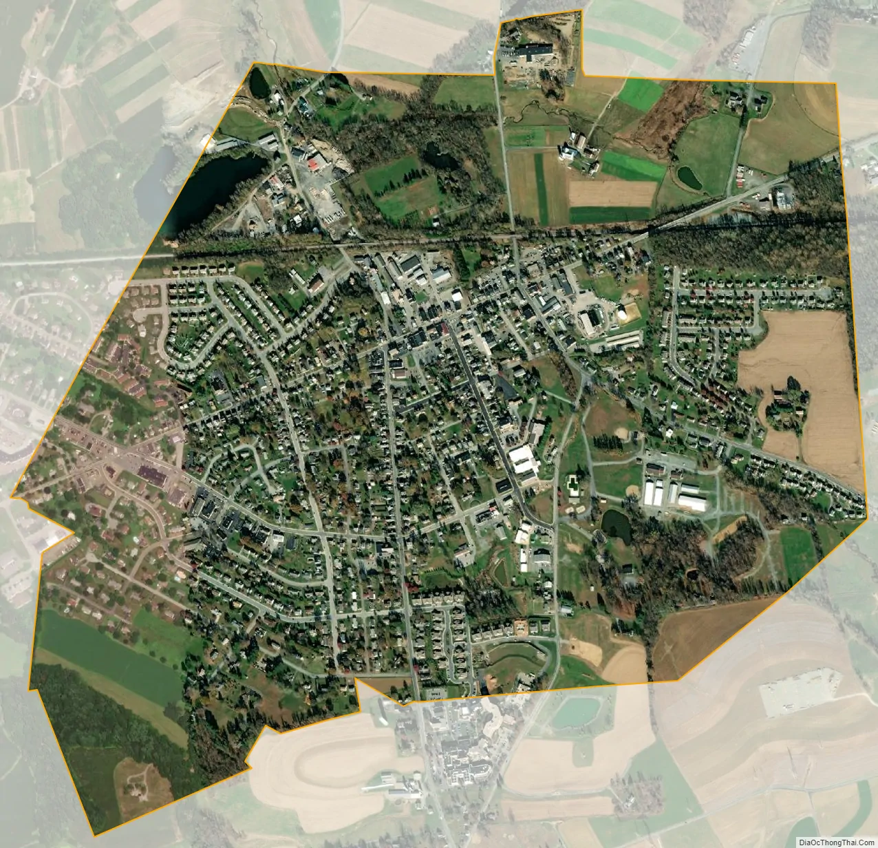
Quarryville city Satellite Map
Geography
Quarryville is located in southern Lancaster County at 39°53′43″N 76°9′44″W / 39.89528°N 76.16222°W / 39.89528; -76.16222 (39.895402, -76.162175). U.S. Route 222 passes through the borough, leading northwest 14 miles (23 km) to Lancaster, the county seat, and south 17 miles (27 km) to U.S. Route 1 in Conowingo, Maryland. Pennsylvania Route 372 (State Street) also passes through Quarryville, leading east 16 miles (26 km) to Parkesburg and west 11 miles (18 km) to its crossing of the Susquehanna River near Holtwood. Pennsylvania Route 472 (South Lime Street) leads southeast from Quarryville 13 miles (21 km) to Oxford.
According to the United States Census Bureau, the borough of Quarryville has a total area of 1.3 square miles (3.4 km), of which 0.02 square miles (0.05 km), or 1.53%, are water. The borough is drained by the headwaters of the South Fork of Big Beaver Creek, a northwestward-flowing tributary of Pequea Creek, itself a tributary of the Susquehanna River.
See also
Map of Pennsylvania State and its subdivision:- Adams
- Allegheny
- Armstrong
- Beaver
- Bedford
- Berks
- Blair
- Bradford
- Bucks
- Butler
- Cambria
- Cameron
- Carbon
- Centre
- Chester
- Clarion
- Clearfield
- Clinton
- Columbia
- Crawford
- Cumberland
- Dauphin
- Delaware
- Elk
- Erie
- Fayette
- Forest
- Franklin
- Fulton
- Greene
- Huntingdon
- Indiana
- Jefferson
- Juniata
- Lackawanna
- Lancaster
- Lawrence
- Lebanon
- Lehigh
- Luzerne
- Lycoming
- Mc Kean
- Mercer
- Mifflin
- Monroe
- Montgomery
- Montour
- Northampton
- Northumberland
- Perry
- Philadelphia
- Pike
- Potter
- Schuylkill
- Snyder
- Somerset
- Sullivan
- Susquehanna
- Tioga
- Union
- Venango
- Warren
- Washington
- Wayne
- Westmoreland
- Wyoming
- York
- Alabama
- Alaska
- Arizona
- Arkansas
- California
- Colorado
- Connecticut
- Delaware
- District of Columbia
- Florida
- Georgia
- Hawaii
- Idaho
- Illinois
- Indiana
- Iowa
- Kansas
- Kentucky
- Louisiana
- Maine
- Maryland
- Massachusetts
- Michigan
- Minnesota
- Mississippi
- Missouri
- Montana
- Nebraska
- Nevada
- New Hampshire
- New Jersey
- New Mexico
- New York
- North Carolina
- North Dakota
- Ohio
- Oklahoma
- Oregon
- Pennsylvania
- Rhode Island
- South Carolina
- South Dakota
- Tennessee
- Texas
- Utah
- Vermont
- Virginia
- Washington
- West Virginia
- Wisconsin
- Wyoming


