Reedsville is a census-designated place (CDP) in the Kishacoquillas Valley of Mifflin County, Pennsylvania, United States. The population was 641 at the 2010 census. Reedsville has a high Amish population.
| Name: | Reedsville CDP |
|---|---|
| LSAD Code: | 57 |
| LSAD Description: | CDP (suffix) |
| State: | Pennsylvania |
| County: | Mifflin County |
| Elevation: | 592 ft (180 m) |
| Total Area: | 0.68 sq mi (1.77 km²) |
| Land Area: | 0.66 sq mi (1.72 km²) |
| Water Area: | 0.02 sq mi (0.06 km²) |
| Total Population: | 641 |
| Population Density: | 967/sq mi (373.2/km²) |
| FIPS code: | 4263976 |
Online Interactive Map
Click on ![]() to view map in "full screen" mode.
to view map in "full screen" mode.
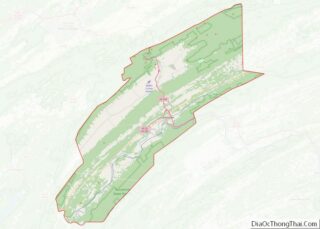
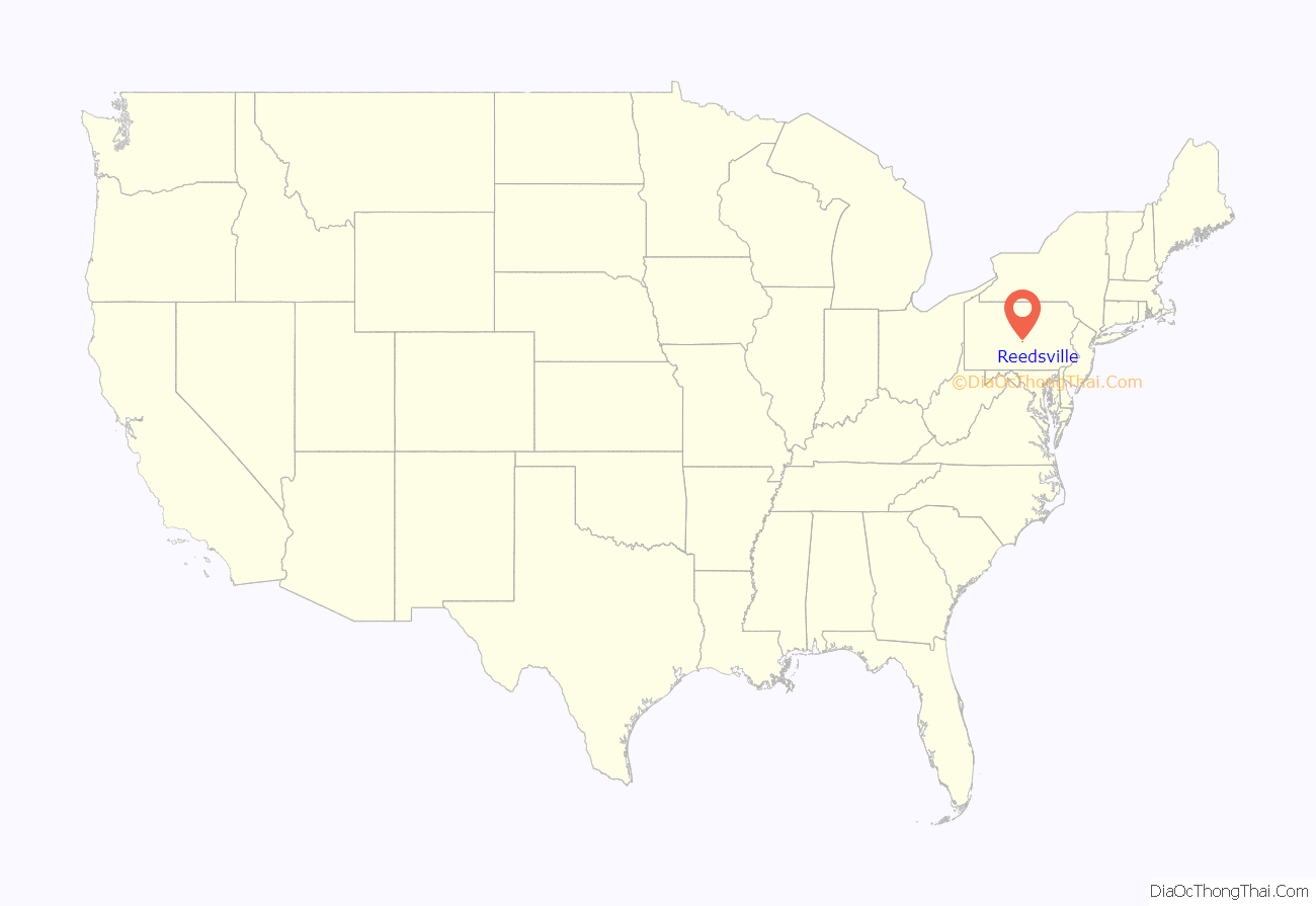
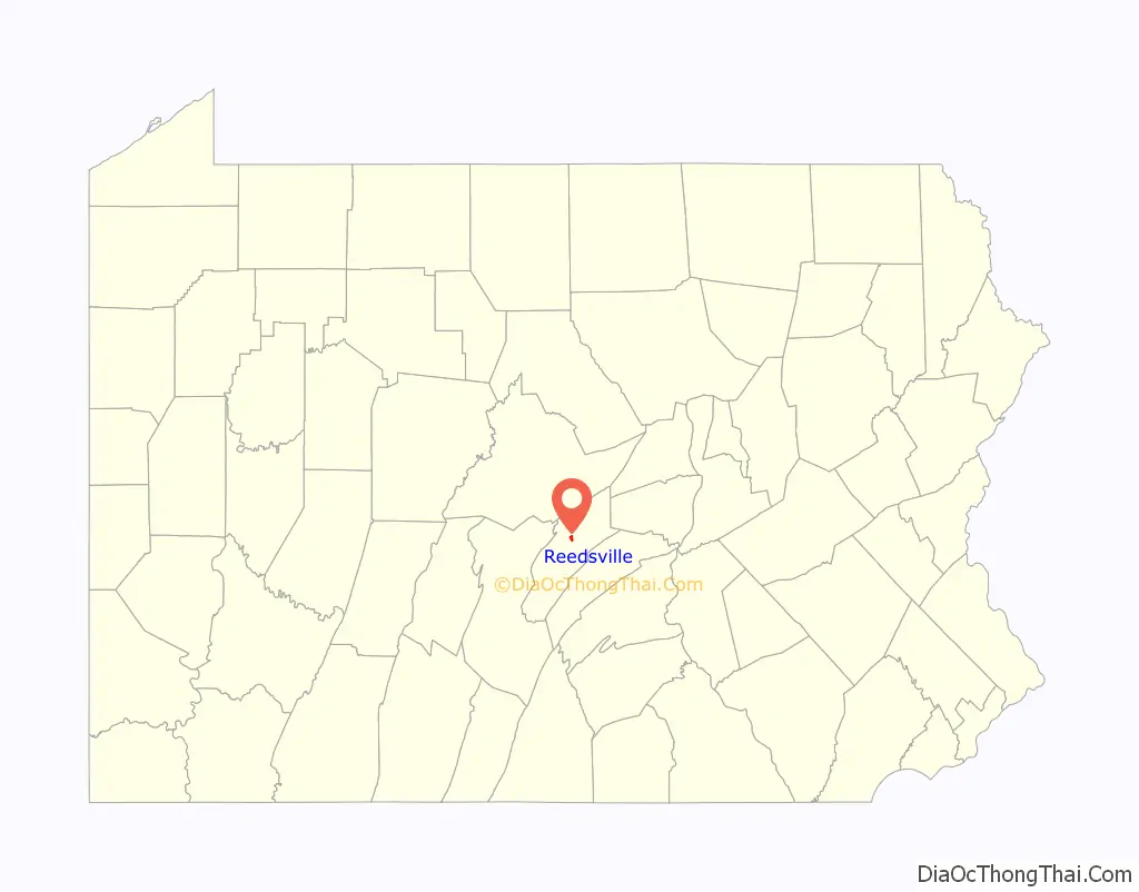
Reedsville location map. Where is Reedsville CDP?
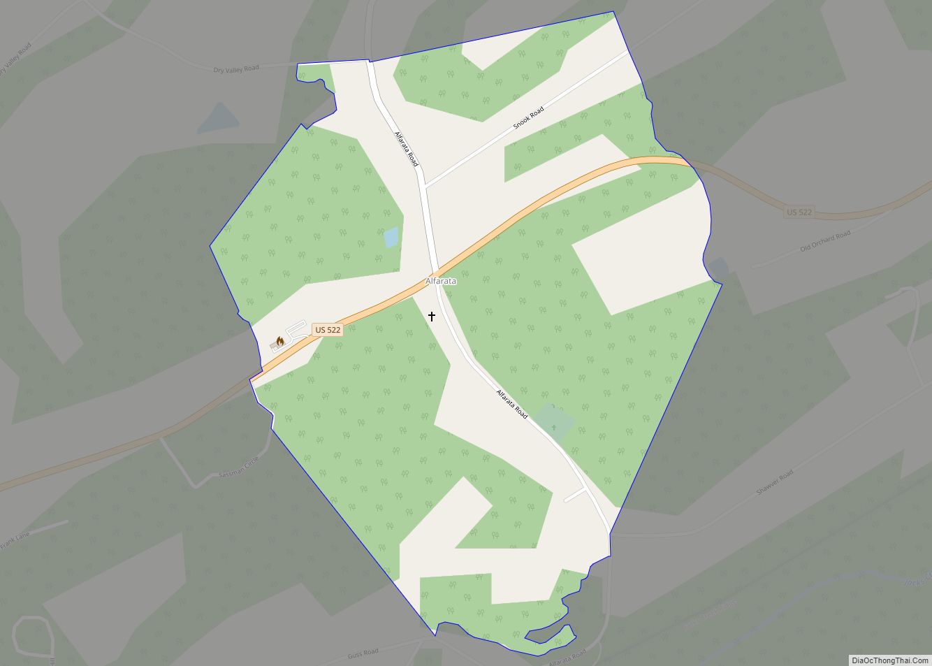
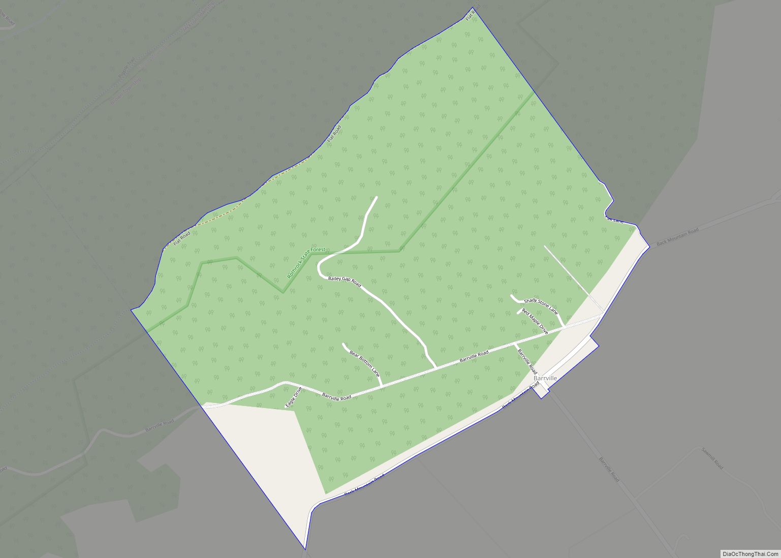
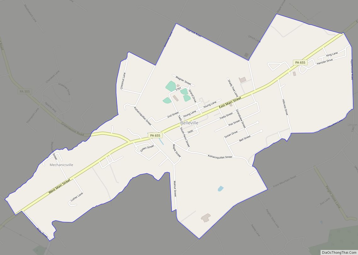
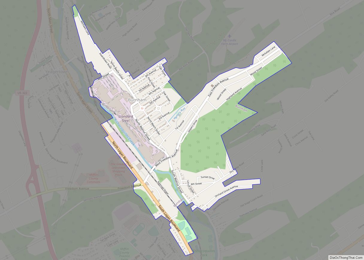
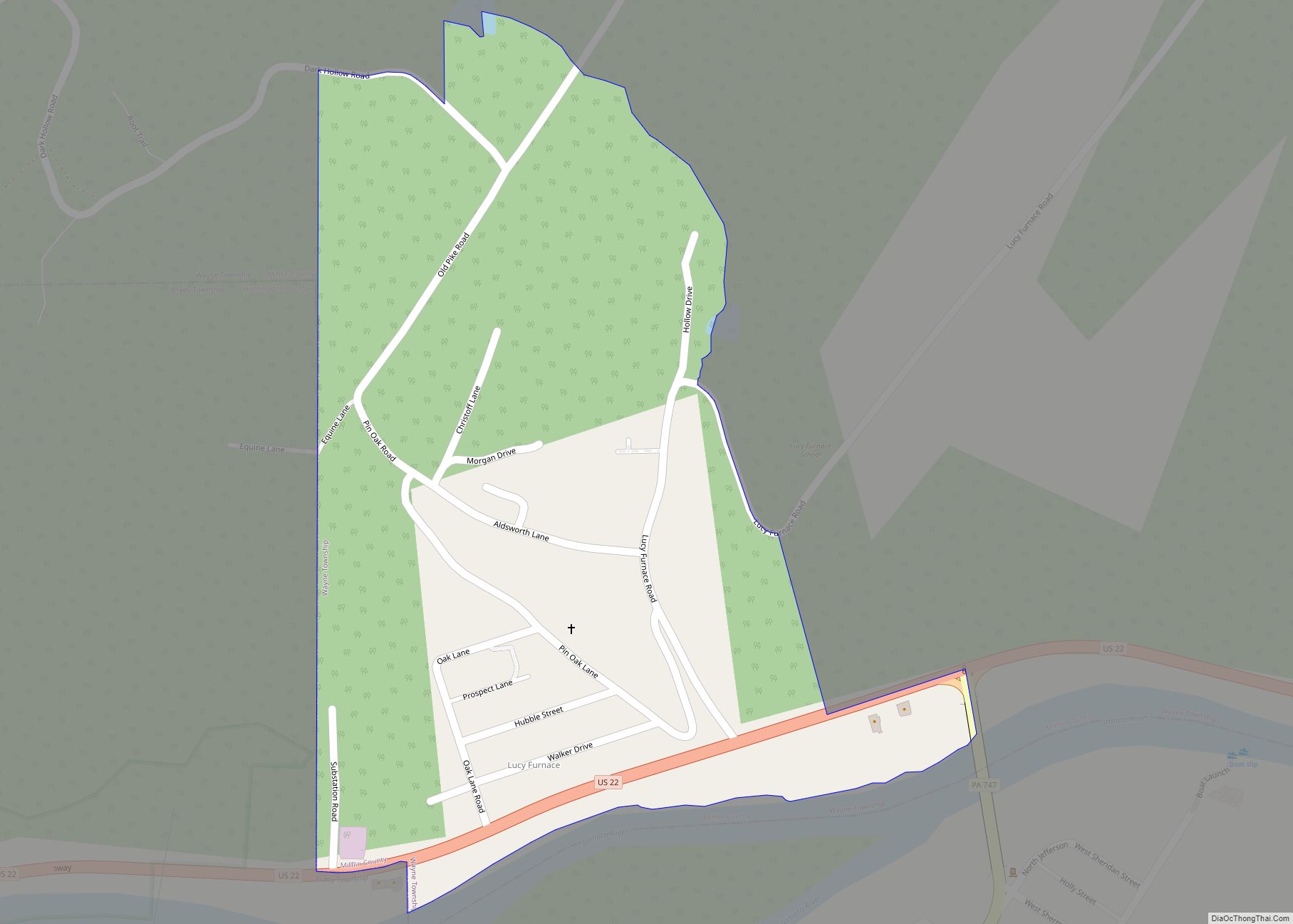
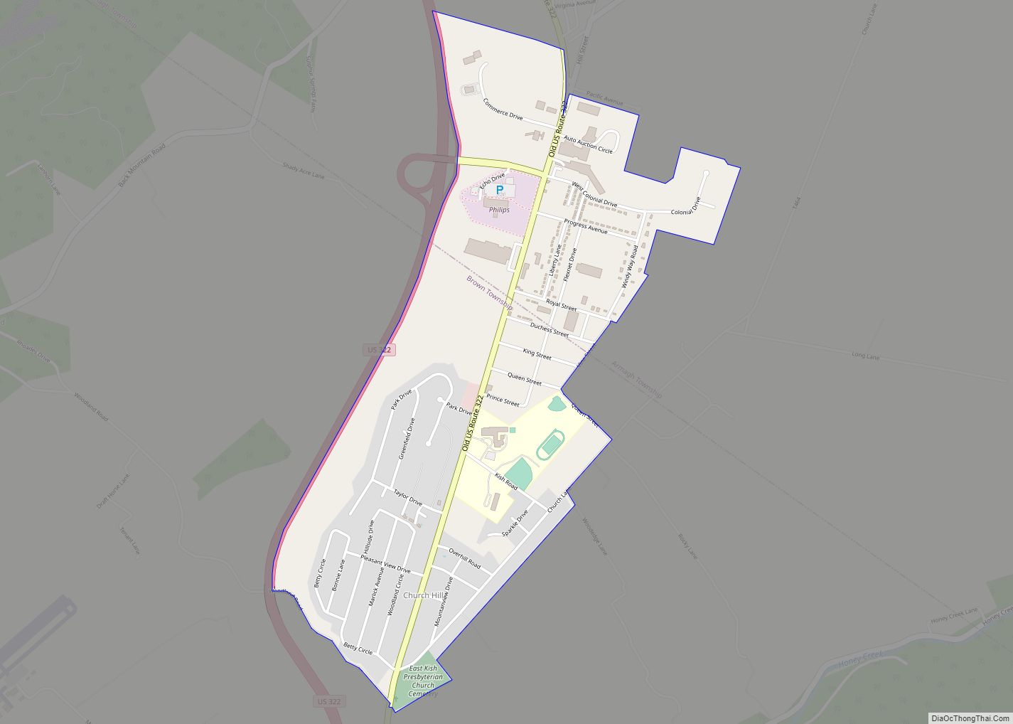
Reedsville Road Map

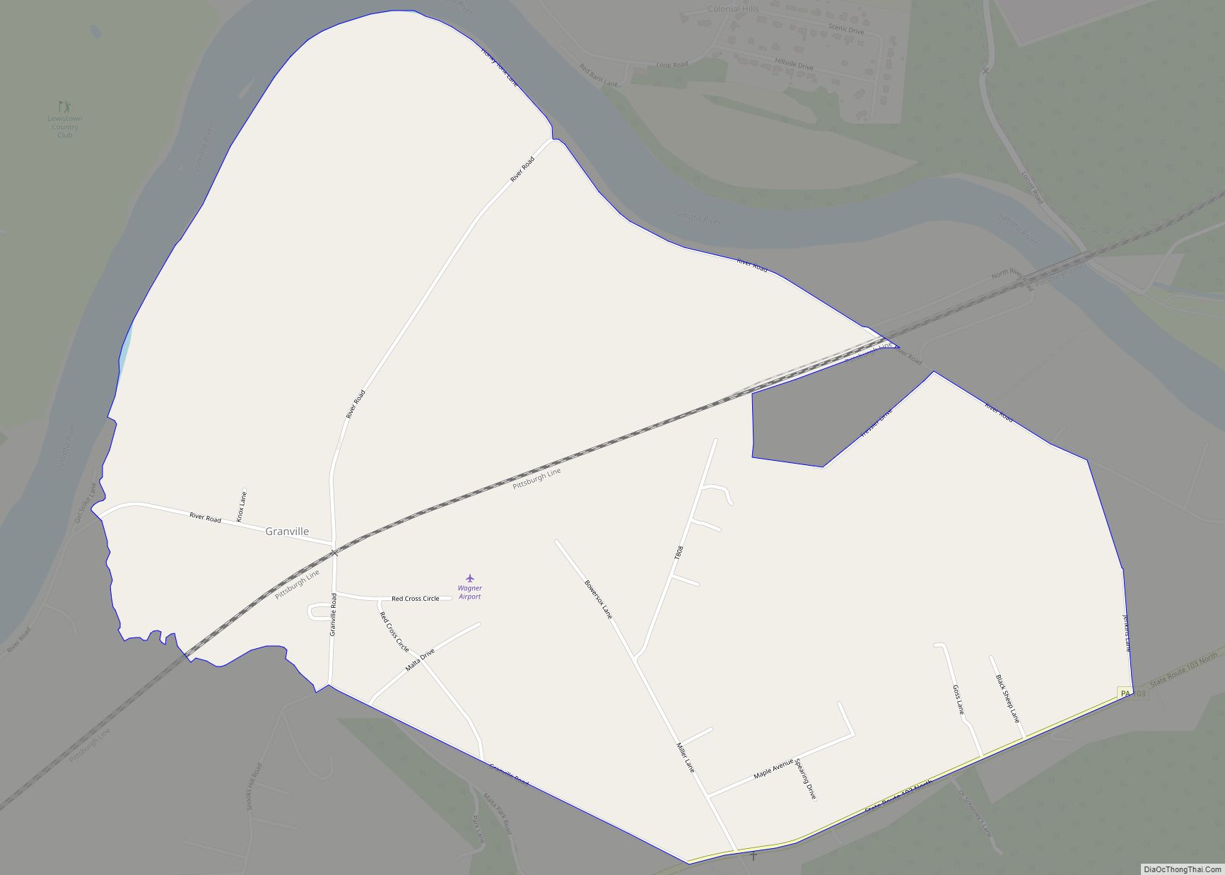
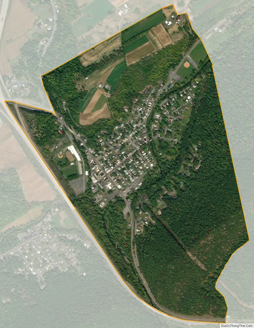
Reedsville city Satellite Map
Geography
Reedsville is located north of the center of Mifflin County at 40°39′45″N 77°35′45″W / 40.66250°N 77.59583°W / 40.66250; -77.59583 (40.662470, -77.595962). It lies along Kishacoquillas Creek at the north end of Mann Narrows, a water gap where the creek cuts through Jacks Mountain. Through the narrows it is 1.9 miles (3.1 km) to Yeagertown. U.S. Route 322 is a limited access highway that passes along the west side of Fairview and leads 5 miles (8 km) south to Lewistown and north and west 26 miles (42 km) to State College.
According to the United States Census Bureau, the CDP has a total area of 0.69 square miles (1.8 km), of which 0.023 square miles (0.06 km), or 3.22%, is water.
See also
Map of Pennsylvania State and its subdivision:- Adams
- Allegheny
- Armstrong
- Beaver
- Bedford
- Berks
- Blair
- Bradford
- Bucks
- Butler
- Cambria
- Cameron
- Carbon
- Centre
- Chester
- Clarion
- Clearfield
- Clinton
- Columbia
- Crawford
- Cumberland
- Dauphin
- Delaware
- Elk
- Erie
- Fayette
- Forest
- Franklin
- Fulton
- Greene
- Huntingdon
- Indiana
- Jefferson
- Juniata
- Lackawanna
- Lancaster
- Lawrence
- Lebanon
- Lehigh
- Luzerne
- Lycoming
- Mc Kean
- Mercer
- Mifflin
- Monroe
- Montgomery
- Montour
- Northampton
- Northumberland
- Perry
- Philadelphia
- Pike
- Potter
- Schuylkill
- Snyder
- Somerset
- Sullivan
- Susquehanna
- Tioga
- Union
- Venango
- Warren
- Washington
- Wayne
- Westmoreland
- Wyoming
- York
- Alabama
- Alaska
- Arizona
- Arkansas
- California
- Colorado
- Connecticut
- Delaware
- District of Columbia
- Florida
- Georgia
- Hawaii
- Idaho
- Illinois
- Indiana
- Iowa
- Kansas
- Kentucky
- Louisiana
- Maine
- Maryland
- Massachusetts
- Michigan
- Minnesota
- Mississippi
- Missouri
- Montana
- Nebraska
- Nevada
- New Hampshire
- New Jersey
- New Mexico
- New York
- North Carolina
- North Dakota
- Ohio
- Oklahoma
- Oregon
- Pennsylvania
- Rhode Island
- South Carolina
- South Dakota
- Tennessee
- Texas
- Utah
- Vermont
- Virginia
- Washington
- West Virginia
- Wisconsin
- Wyoming