Seward is a borough in Westmoreland County, Pennsylvania, United States. The population was four hundred and ninety-five at the time of the 2010 census. It is also one of three communities within the county to utilize the 814 area code, along with St. Clair and New Florence. Seward borough overview: Name: Seward borough LSAD Code: ... Read more
Pennsylvania Cities and Places
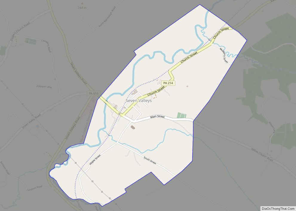
Seven Valleys is a borough in York County, Pennsylvania, United States. The population was 480 at the 2020 census. Seven Valleys borough overview: Name: Seven Valleys borough LSAD Code: 21 LSAD Description: borough (suffix) State: Pennsylvania County: York County Incorporated: 1892 Elevation: 476 ft (145 m) Total Area: 1.09 sq mi (2.82 km²) Land Area: 1.09 sq mi (2.82 km²) Water Area: 0.00 sq mi ... Read more
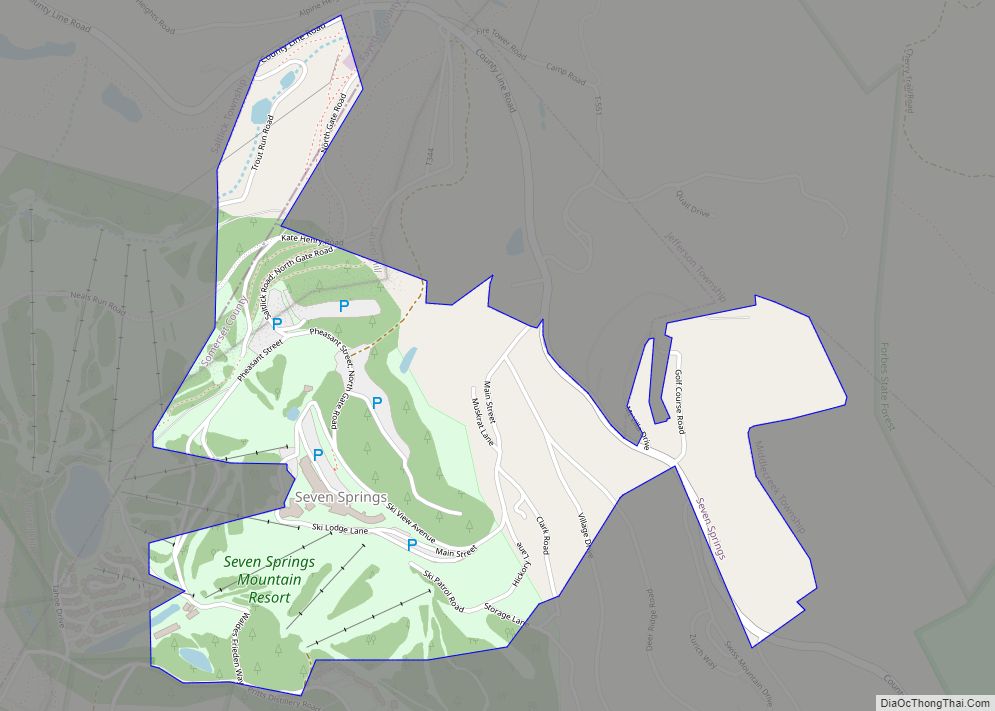
Seven Springs is a borough in Somerset and Fayette counties in the U.S. state of Pennsylvania. The Fayette County portion of the borough and resort are part of the Pittsburgh metropolitan area, and the Somerset County portion is part of the Johnstown Metropolitan Area. The population of the borough was 26 as of the 2010 ... Read more
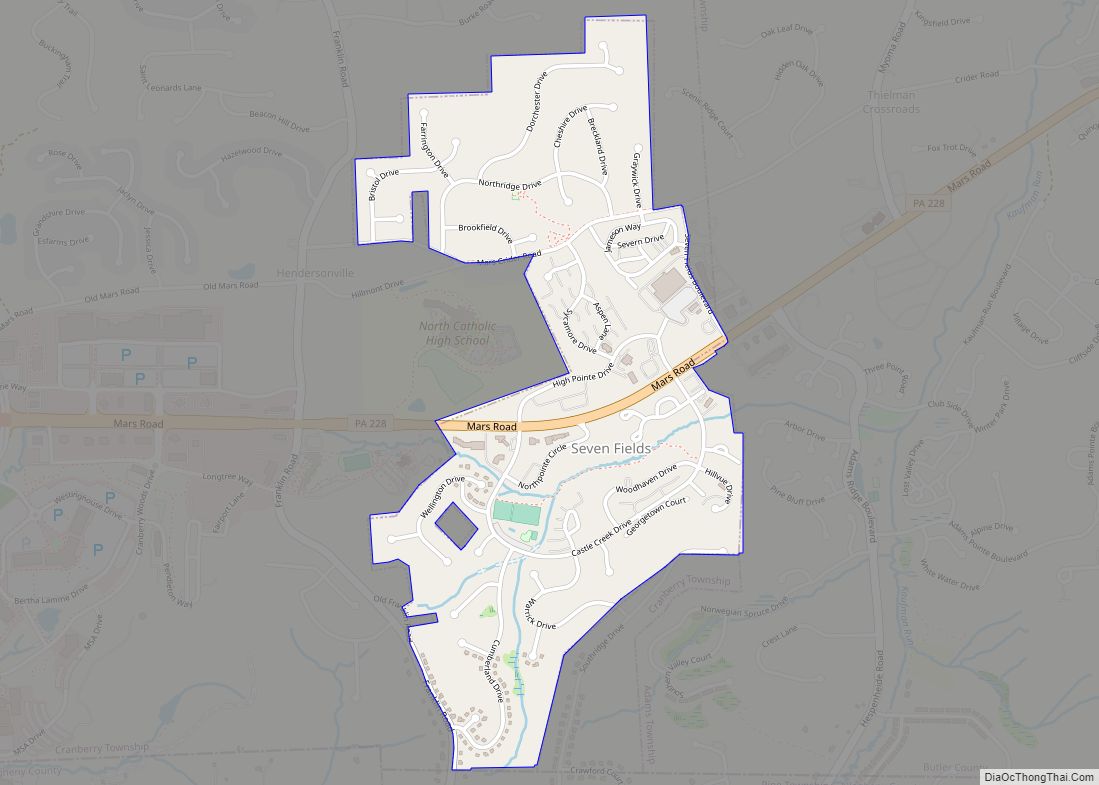
Seven Fields is a borough in Butler County, Pennsylvania, United States. The population was 2,887 at the 2010 census, an increase from the figure of 1,986 tabulated in 2000. Seven Fields borough overview: Name: Seven Fields borough LSAD Code: 21 LSAD Description: borough (suffix) State: Pennsylvania County: Butler County Total Area: 0.81 sq mi (2.08 km²) Land Area: ... Read more
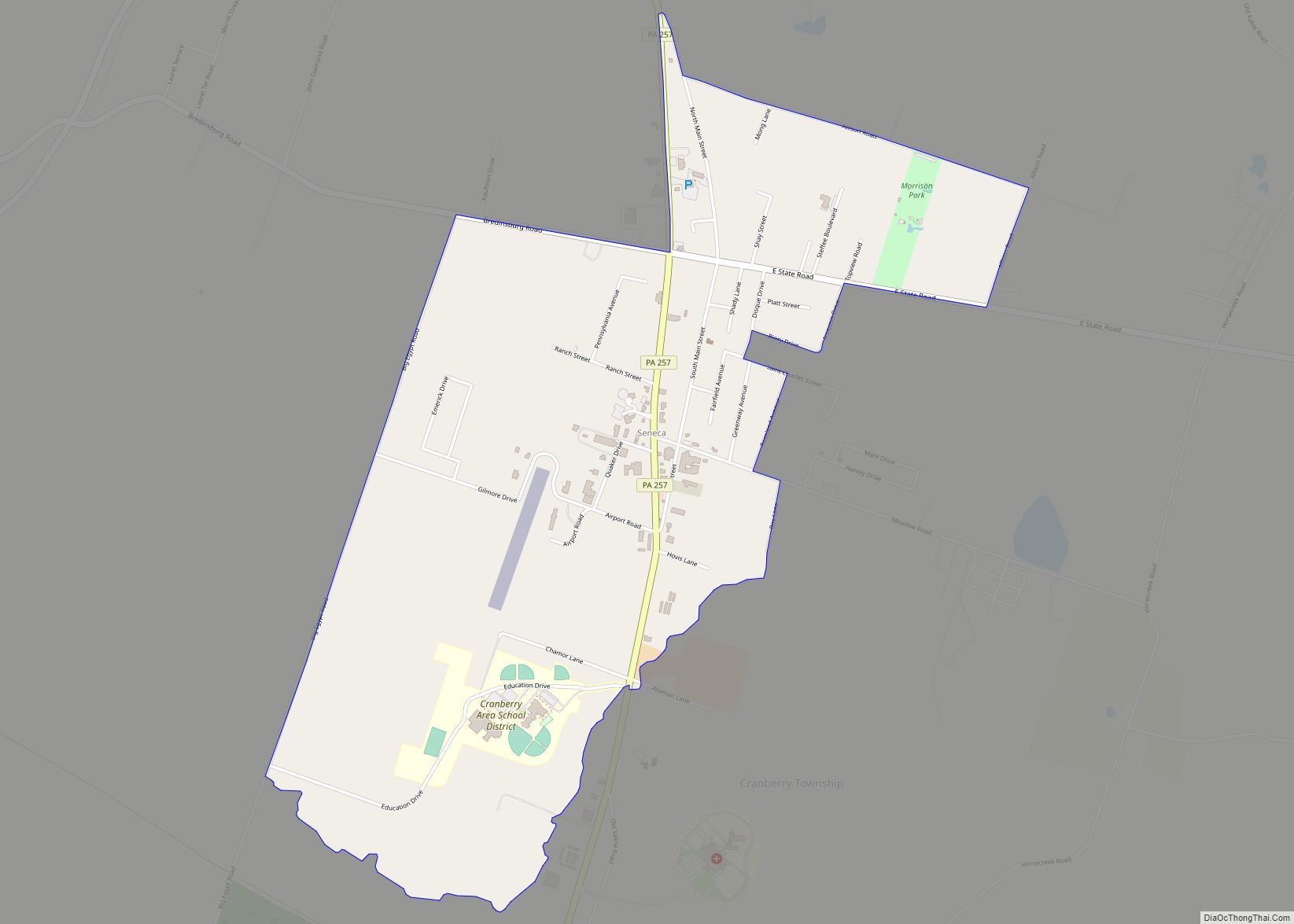
Seneca is a census-designated place (CDP) in Venango County, Pennsylvania, United States. As of the 2000 census, the CDP population was 966. Seneca CDP overview: Name: Seneca CDP LSAD Code: 57 LSAD Description: CDP (suffix) State: Pennsylvania County: Venango County Total Area: 2.25 sq mi (5.82 km²) Land Area: 2.25 sq mi (5.82 km²) Water Area: 0.00 sq mi (0.00 km²) Total Population: 1,011 ... Read more
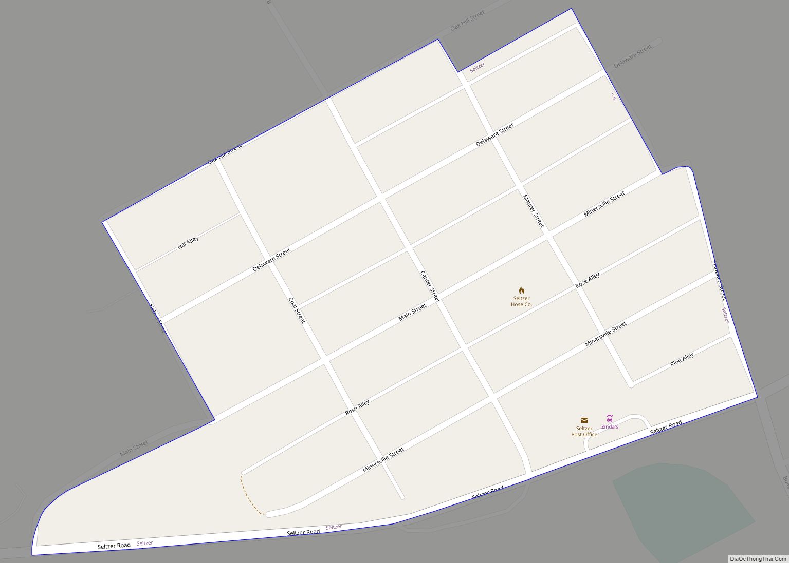
Seltzer is a census-designated place (CDP) in Schuylkill County, Pennsylvania, United States. The population was 307 at the 2000 census. Seltzer is located in Norwegian Township. Seltzer CDP overview: Name: Seltzer CDP LSAD Code: 57 LSAD Description: CDP (suffix) State: Pennsylvania County: Schuylkill County Total Area: 0.08 sq mi (0.2 km²) Land Area: 0.08 sq mi (0.2 km²) Total Population: 307 ... Read more
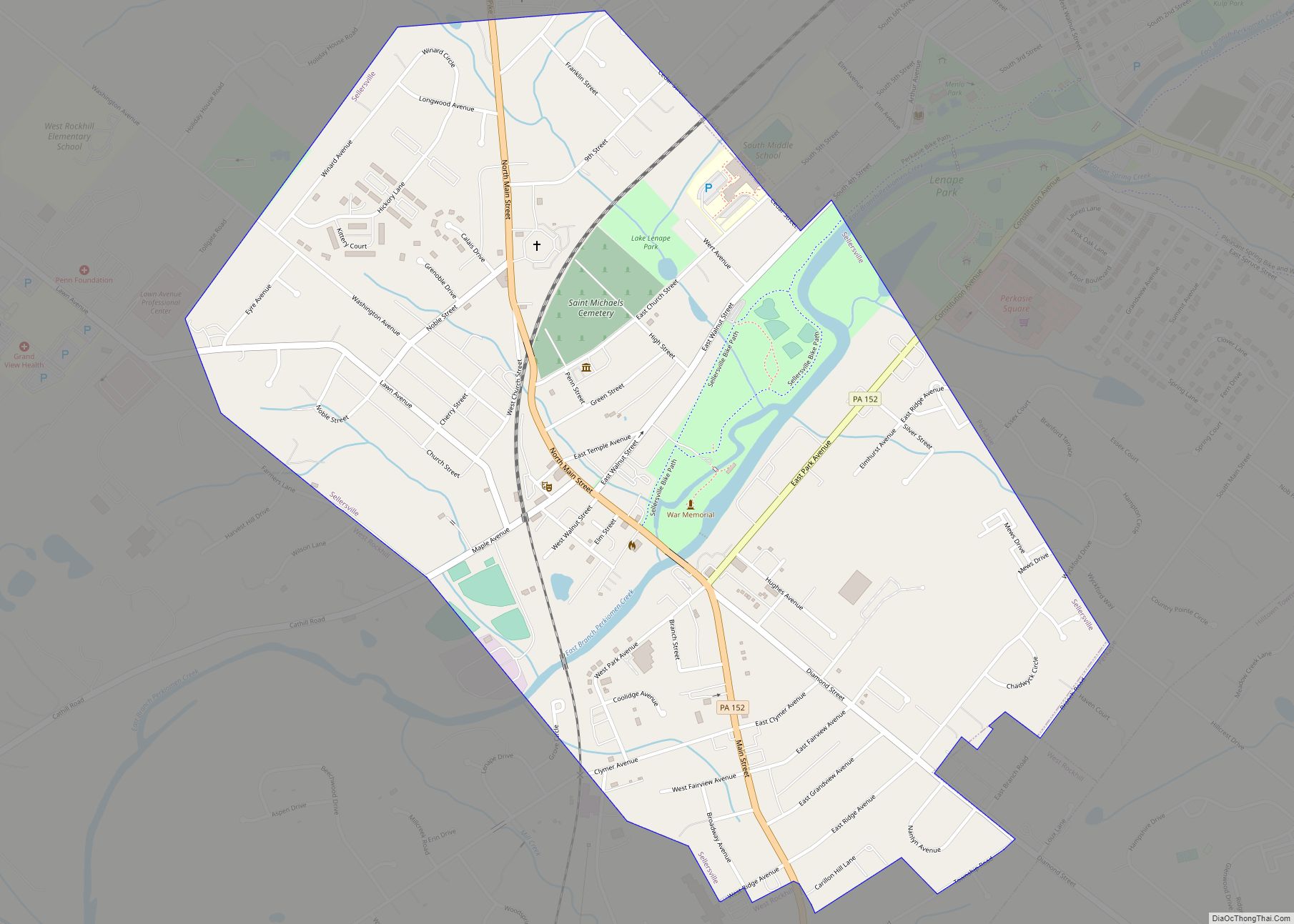
Sellersville is a borough in Bucks County, Pennsylvania. The population was 4,249 at the 2010 census. It is in the Pennridge School District. Sellersville borough overview: Name: Sellersville borough LSAD Code: 21 LSAD Description: borough (suffix) State: Pennsylvania County: Bucks County Elevation: 381 ft (116 m) Total Area: 1.17 sq mi (3.03 km²) Land Area: 1.14 sq mi (2.96 km²) Water Area: 0.03 sq mi ... Read more
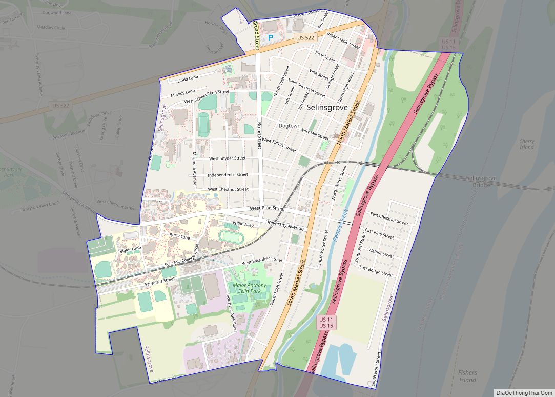
Selinsgrove /ˈsiː.lɪnzˌɡroʊv/ is the largest borough in Snyder County, Pennsylvania, United States. The population is estimated to be 5,761 for the 2020 Census. Selinsgrove is geographically located in the middle of the Susquehanna River Valley in Central Pennsylvania, along U.S. Routes 11 and 15, 36.4 miles (58.6 km) north of Harrisburg and 5.7 miles (9.2 km) southwest ... Read more
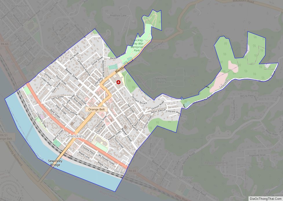
Sewickley is a borough in Allegheny County, Pennsylvania, United States, 12 miles (19 km) west northwest of Pittsburgh along the Ohio River. It is a residential suburb of the Pittsburgh metropolitan area. The population was 3,907 at the 2020 census. The Sewickley Bridge crosses the Ohio River from Sewickley to Moon Township. Sewickley borough overview: Name: ... Read more
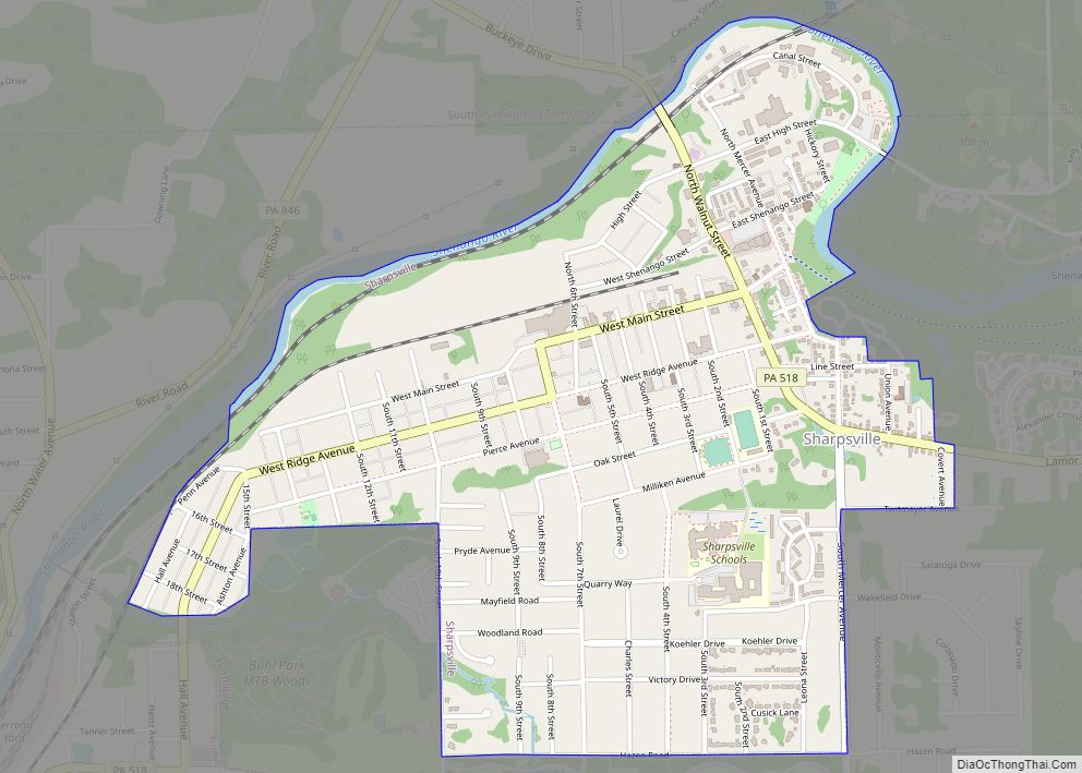
Sharpsville is a borough in western Mercer County, Pennsylvania, United States, along the Shenango River. The population was 4,253 as of the 2020 census. It is part of the Youngstown–Warren metropolitan area. Sharpsville borough overview: Name: Sharpsville borough LSAD Code: 21 LSAD Description: borough (suffix) State: Pennsylvania County: Mercer County Total Area: 1.40 sq mi (3.63 km²) Land ... Read more
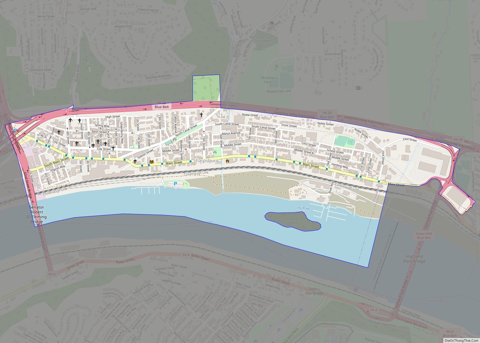
Sharpsburg is a borough in Allegheny County, Pennsylvania, United States, 5 miles (8 km) northeast of downtown Pittsburgh, along the Allegheny River. In 1900, nearly 7,000 people lived here; in 1920, the population peaked at just over 8,900 people. The population was 3,187 at the 2020 census. In the past, it had a rolling mill, foundries, ... Read more
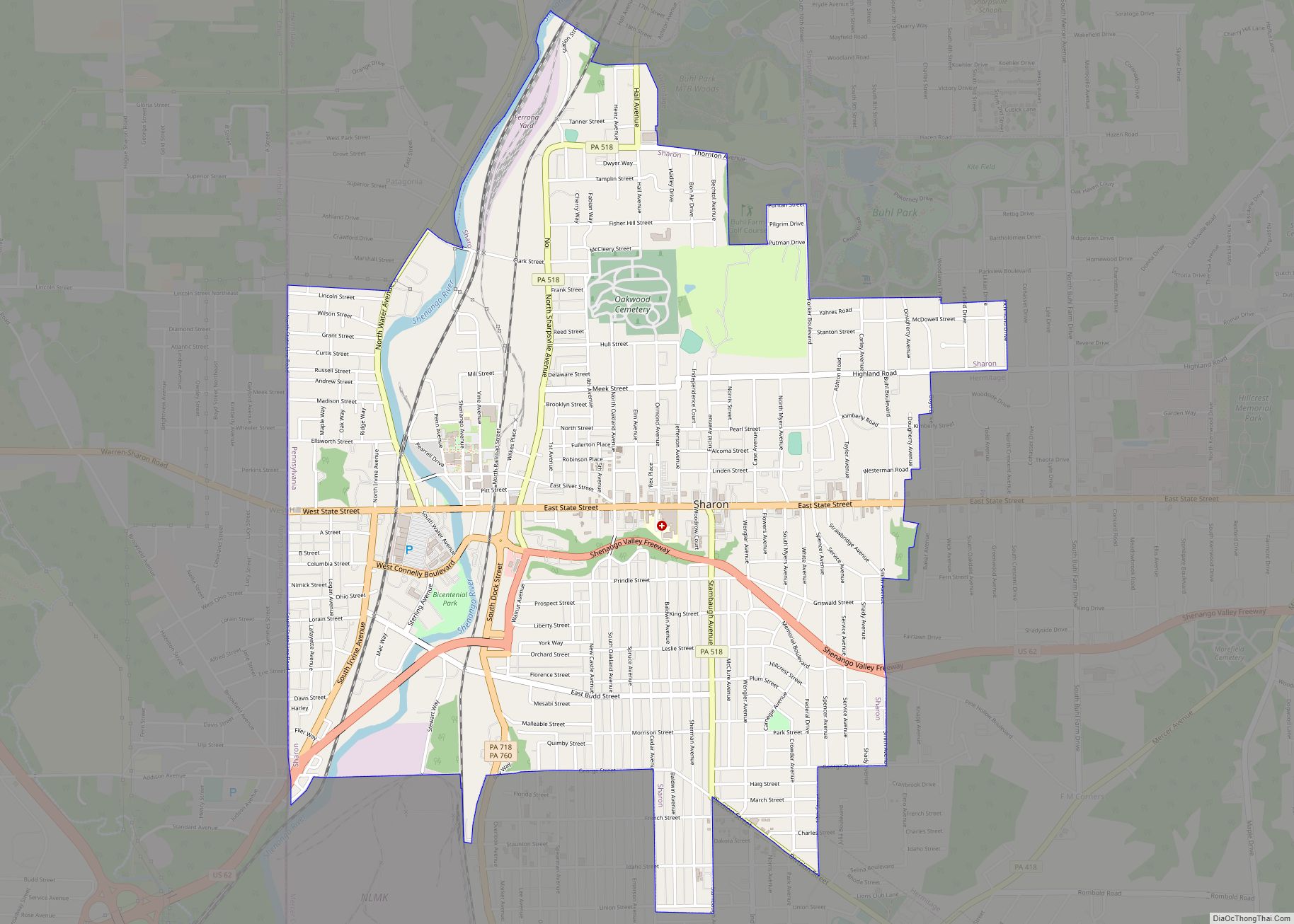
Sharon is a city in western Mercer County, Pennsylvania, United States. The city, located along the banks of the Shenango River on the state border with Ohio, is about 15 miles (24 km) northeast of Youngstown, about 65 miles (105 km) southeast of Cleveland and about 60 miles (97 km) northwest of Pittsburgh. The population was 13,147 at ... Read more

