Seward is a borough in Westmoreland County, Pennsylvania, United States. The population was four hundred and ninety-five at the time of the 2010 census.
It is also one of three communities within the county to utilize the 814 area code, along with St. Clair and New Florence.
| Name: | Seward borough |
|---|---|
| LSAD Code: | 21 |
| LSAD Description: | borough (suffix) |
| State: | Pennsylvania |
| County: | Westmoreland County |
| Incorporated: | January 23, 1904 |
| Elevation: | 1,135 ft (346 m) |
| Total Area: | 0.20 sq mi (0.52 km²) |
| Land Area: | 0.20 sq mi (0.52 km²) |
| Water Area: | 0.00 sq mi (0.00 km²) |
| Total Population: | 495 |
| Population Density: | 2,287.13/sq mi (882.78/km²) |
| Area code: | 724, 814 |
| FIPS code: | 4269368 |
Online Interactive Map
Click on ![]() to view map in "full screen" mode.
to view map in "full screen" mode.
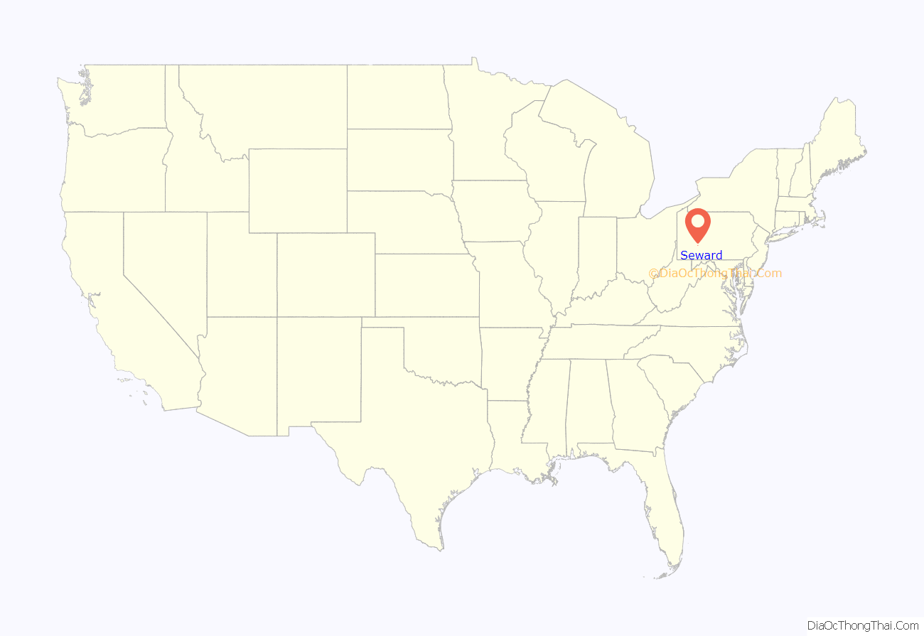
Seward location map. Where is Seward borough?
History
In June 1902, three men were killed instantly, two were fatally hurt and five others were injured, including one man who later died, following an explosion at the Cambria powder plant’s coining mill in Seward. According to news coverage, “The explosion occurred as the men were loading a pot of powder on a wagon driven by” one of the victims, thirty-eight-year-old John Rhoads, who reportedly left a large family. The others who were killed were: Seward resident J. B. Smith, aged forty, who was also the head of a large family; Charles Drover, a thirty-five-year-old, unmarried resident of Wapwallopen in Luzerne County, Pennsylvania; and Seward resident W. F. Bracken, who was married with three children.
A second, similar explosion then occurred in Seward at the Conemaugh Powder Works on December 7, 1903, killing worker Alfred Beatty and seriously injuring four other men.
On January 4, 1908, Seward resident Patrick Kerwin, who was reportedly the oldest person alive in Pennsylvania at that time, died at the age of one hundred and eleven. A native of Ireland, he had been born on St. Patrick’s Day in 1796.
Seward Road Map
Seward city Satellite Map
Geography
Seward is located at 40°24′53″N 79°1′22″W / 40.41472°N 79.02278°W / 40.41472; -79.02278 (40.414759, -79.022856).
According to the United States Census Bureau, the borough has a total area of 0.2 square miles (0.52 km), all land.
Seward is entirely surrounded by St. Clair Township
The community was impacted by the Johnstown flood of 1977; seven people died as a result of the disaster.
See also
Map of Pennsylvania State and its subdivision:- Adams
- Allegheny
- Armstrong
- Beaver
- Bedford
- Berks
- Blair
- Bradford
- Bucks
- Butler
- Cambria
- Cameron
- Carbon
- Centre
- Chester
- Clarion
- Clearfield
- Clinton
- Columbia
- Crawford
- Cumberland
- Dauphin
- Delaware
- Elk
- Erie
- Fayette
- Forest
- Franklin
- Fulton
- Greene
- Huntingdon
- Indiana
- Jefferson
- Juniata
- Lackawanna
- Lancaster
- Lawrence
- Lebanon
- Lehigh
- Luzerne
- Lycoming
- Mc Kean
- Mercer
- Mifflin
- Monroe
- Montgomery
- Montour
- Northampton
- Northumberland
- Perry
- Philadelphia
- Pike
- Potter
- Schuylkill
- Snyder
- Somerset
- Sullivan
- Susquehanna
- Tioga
- Union
- Venango
- Warren
- Washington
- Wayne
- Westmoreland
- Wyoming
- York
- Alabama
- Alaska
- Arizona
- Arkansas
- California
- Colorado
- Connecticut
- Delaware
- District of Columbia
- Florida
- Georgia
- Hawaii
- Idaho
- Illinois
- Indiana
- Iowa
- Kansas
- Kentucky
- Louisiana
- Maine
- Maryland
- Massachusetts
- Michigan
- Minnesota
- Mississippi
- Missouri
- Montana
- Nebraska
- Nevada
- New Hampshire
- New Jersey
- New Mexico
- New York
- North Carolina
- North Dakota
- Ohio
- Oklahoma
- Oregon
- Pennsylvania
- Rhode Island
- South Carolina
- South Dakota
- Tennessee
- Texas
- Utah
- Vermont
- Virginia
- Washington
- West Virginia
- Wisconsin
- Wyoming
