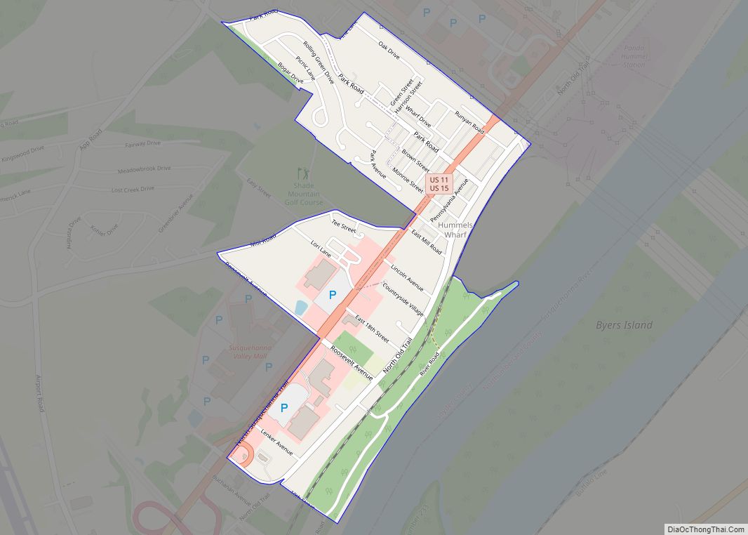
Selinsgrove /ˈsiː.lɪnzˌɡroʊv/ is the largest borough in Snyder County, Pennsylvania, United States. The population is estimated to be 5,761 for the 2020 Census.
Selinsgrove is geographically located in the middle of the Susquehanna River Valley in Central Pennsylvania, along U.S. Routes 11 and 15, 36.4 miles (58.6 km) north of Harrisburg and 5.7 miles (9.2 km) southwest of Sunbury. It is the home of Susquehanna University.
| Name: | Selinsgrove borough |
|---|---|
| LSAD Code: | 21 |
| LSAD Description: | borough (suffix) |
| State: | Pennsylvania |
| County: | Snyder County |
| Total Area: | 1.90 sq mi (4.92 km²) |
| Land Area: | 1.83 sq mi (4.74 km²) |
| Water Area: | 0.07 sq mi (0.18 km²) 3.7% |
| Total Population: | 5,761 |
| Population Density: | 3,223.38/sq mi (1,244.33/km²) |
| ZIP code: | 17870 |
| Area code: | 570 and 272 |
| FIPS code: | 4269216 |
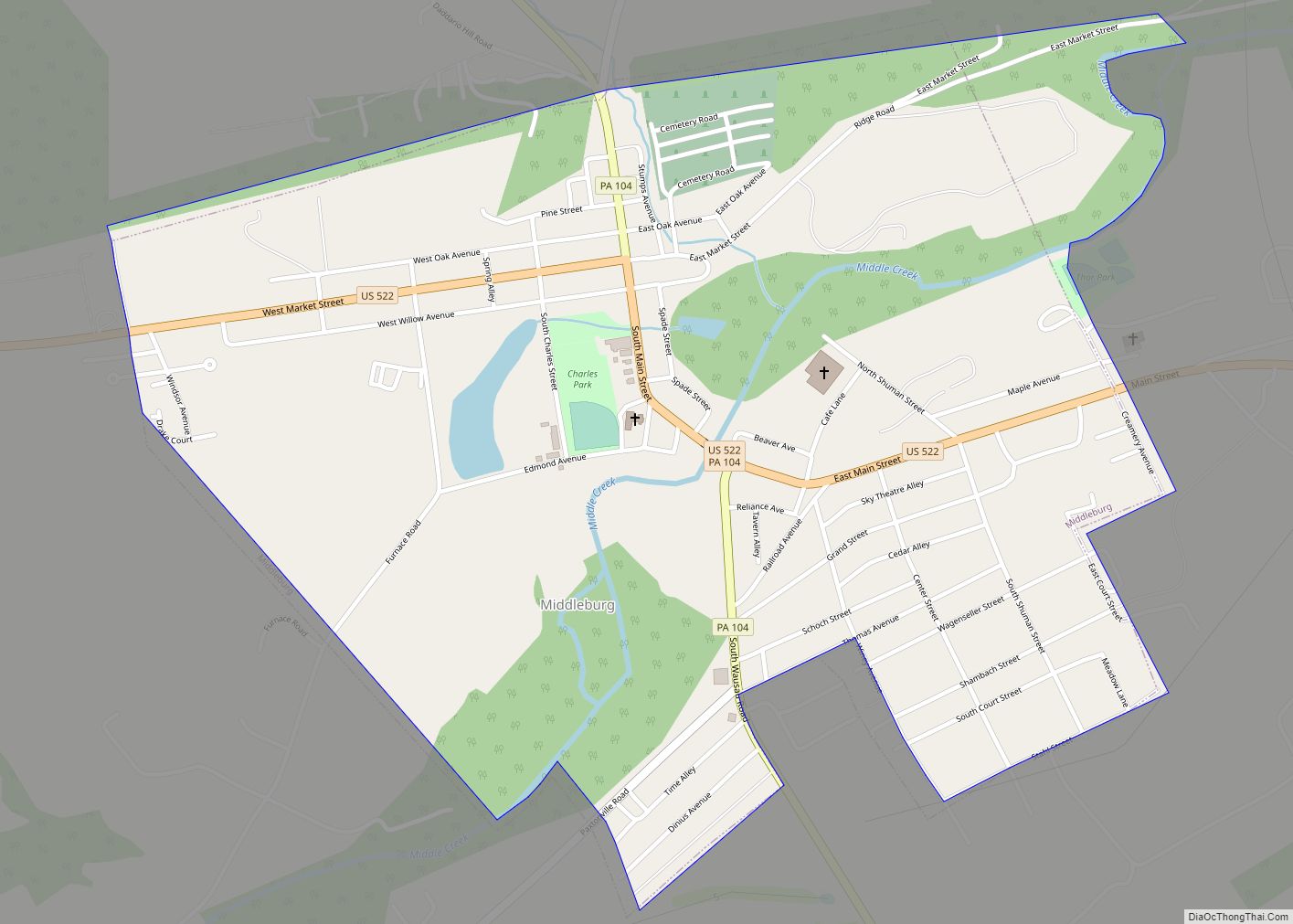
Online Interactive Map
Click on ![]() to view map in "full screen" mode.
to view map in "full screen" mode.
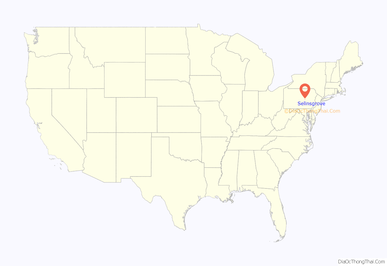
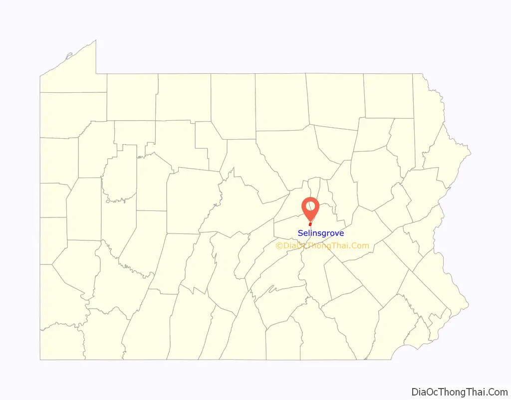
Selinsgrove location map. Where is Selinsgrove borough?
History
Selinsgrove was founded in 1787 by Captain Anthony Selin, who fought in the American Revolution.
The Penns Creek Massacre on October 16, 1755 was the first of a series of deadly raids on Pennsylvania settlements by Native Americans allied with the French in the French and Indian War. A marker on the bank of Penns Creek north of Selinsgrove commemorates the massacre of 14 settlers and the capture of 11 more. In response to this and other Indian actions that day, Fort Augusta, Sunbury, Pennsylvania, the largest of Pennsylvania’s frontier forts, was built in 1756 as a result of this conflict.
Selinsgrove Hall and Seibert Hall at Susquehanna University and Gov. Simon Snyder Mansion on Market Street are listed on the National Register of Historic Places.
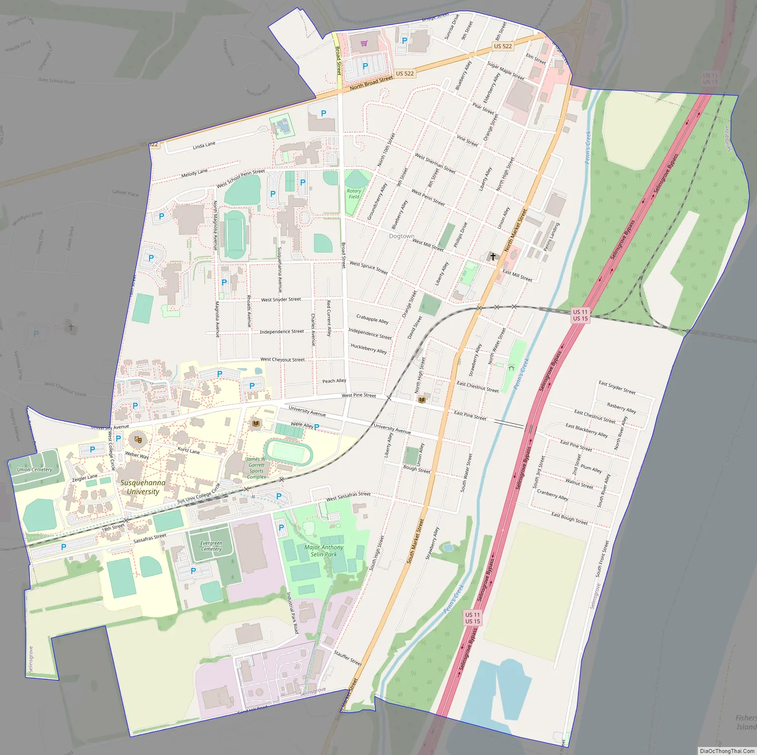
Selinsgrove Road Map
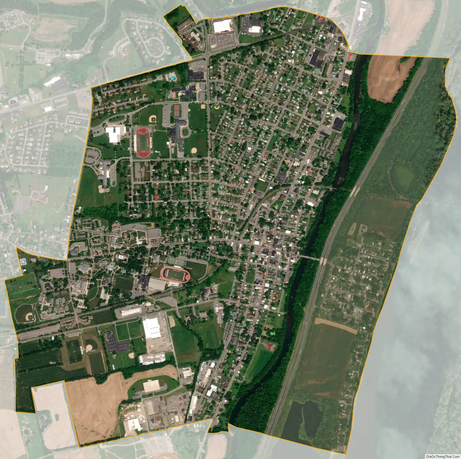
Selinsgrove city Satellite Map
Geography
According to the United States Census Bureau, the borough has a total area of 1.9 square miles (4.9 km). Selinsgrove borders the Susquehanna River. The portion of the borough that is located between Penns Creek and the Susquehanna River is known locally as the “Isle of Que” (pronounced queue).
Climate
See also
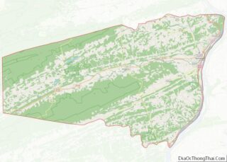
Map of Pennsylvania State and its subdivision:- Adams
- Allegheny
- Armstrong
- Beaver
- Bedford
- Berks
- Blair
- Bradford
- Bucks
- Butler
- Cambria
- Cameron
- Carbon
- Centre
- Chester
- Clarion
- Clearfield
- Clinton
- Columbia
- Crawford
- Cumberland
- Dauphin
- Delaware
- Elk
- Erie
- Fayette
- Forest
- Franklin
- Fulton
- Greene
- Huntingdon
- Indiana
- Jefferson
- Juniata
- Lackawanna
- Lancaster
- Lawrence
- Lebanon
- Lehigh
- Luzerne
- Lycoming
- Mc Kean
- Mercer
- Mifflin
- Monroe
- Montgomery
- Montour
- Northampton
- Northumberland
- Perry
- Philadelphia
- Pike
- Potter
- Schuylkill
- Snyder
- Somerset
- Sullivan
- Susquehanna
- Tioga
- Union
- Venango
- Warren
- Washington
- Wayne
- Westmoreland
- Wyoming
- York
- Alabama
- Alaska
- Arizona
- Arkansas
- California
- Colorado
- Connecticut
- Delaware
- District of Columbia
- Florida
- Georgia
- Hawaii
- Idaho
- Illinois
- Indiana
- Iowa
- Kansas
- Kentucky
- Louisiana
- Maine
- Maryland
- Massachusetts
- Michigan
- Minnesota
- Mississippi
- Missouri
- Montana
- Nebraska
- Nevada
- New Hampshire
- New Jersey
- New Mexico
- New York
- North Carolina
- North Dakota
- Ohio
- Oklahoma
- Oregon
- Pennsylvania
- Rhode Island
- South Carolina
- South Dakota
- Tennessee
- Texas
- Utah
- Vermont
- Virginia
- Washington
- West Virginia
- Wisconsin
- Wyoming