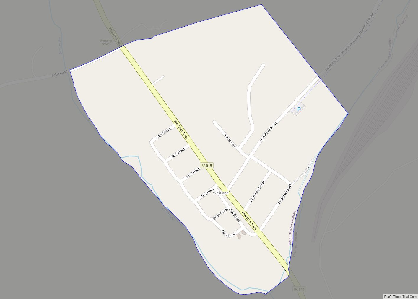
Westland is a census-designated place located in Mount Pleasant and Chartiers Townships in Washington County in the state of Pennsylvania. The community is located in northern Washington County along Pennsylvania Route 519 about 5 miles northwest of the community of McGovern. As of the 2010 census the population was 167 residents. Westland CDP overview: Name: ... Read more
Pennsylvania Cities and Places
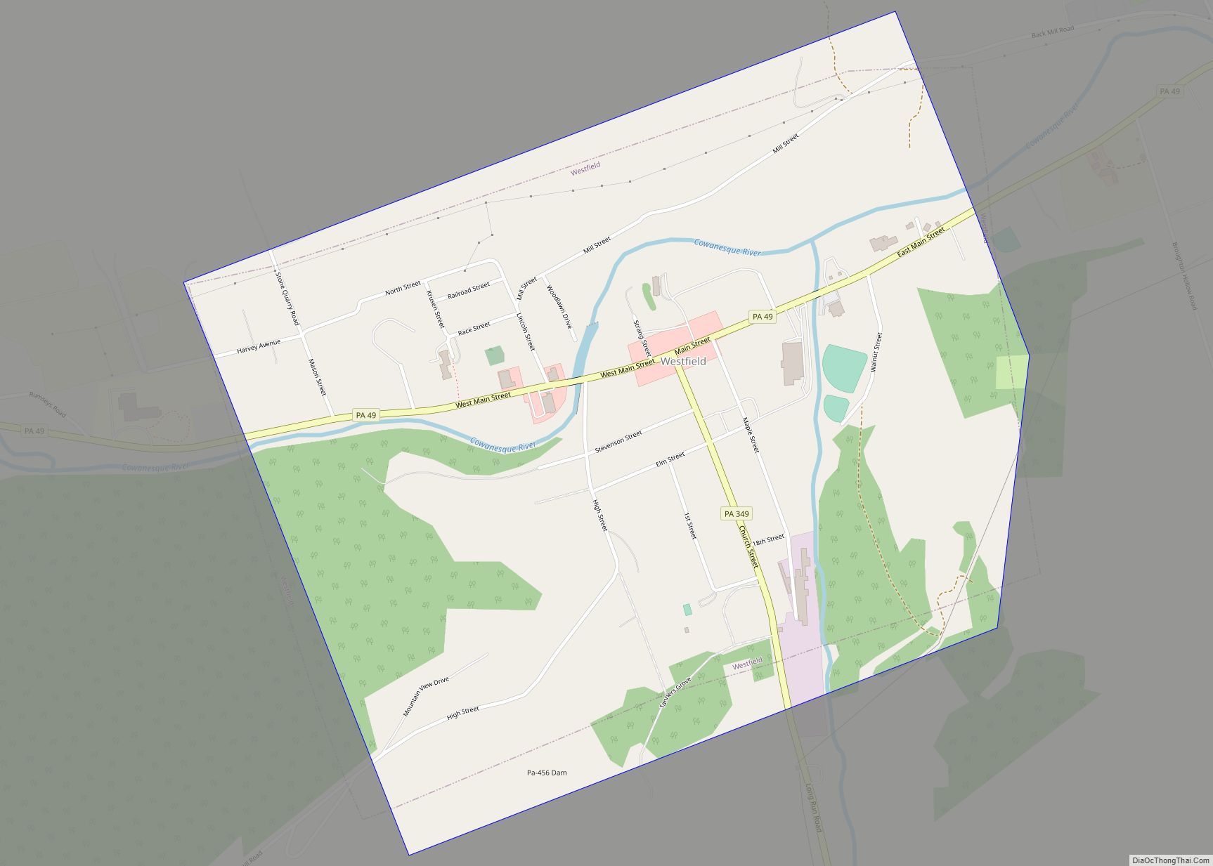
Westfield is a borough in Tioga County, Pennsylvania, United States. The population was 1,113 at the time of the 2020 census. Westfield borough overview: Name: Westfield borough LSAD Code: 21 LSAD Description: borough (suffix) State: Pennsylvania County: Tioga County Elevation: 1,365 ft (416 m) Total Area: 1.11 sq mi (2.89 km²) Land Area: 1.11 sq mi (2.89 km²) Water Area: 0.00 sq mi (0.00 km²) Total ... Read more
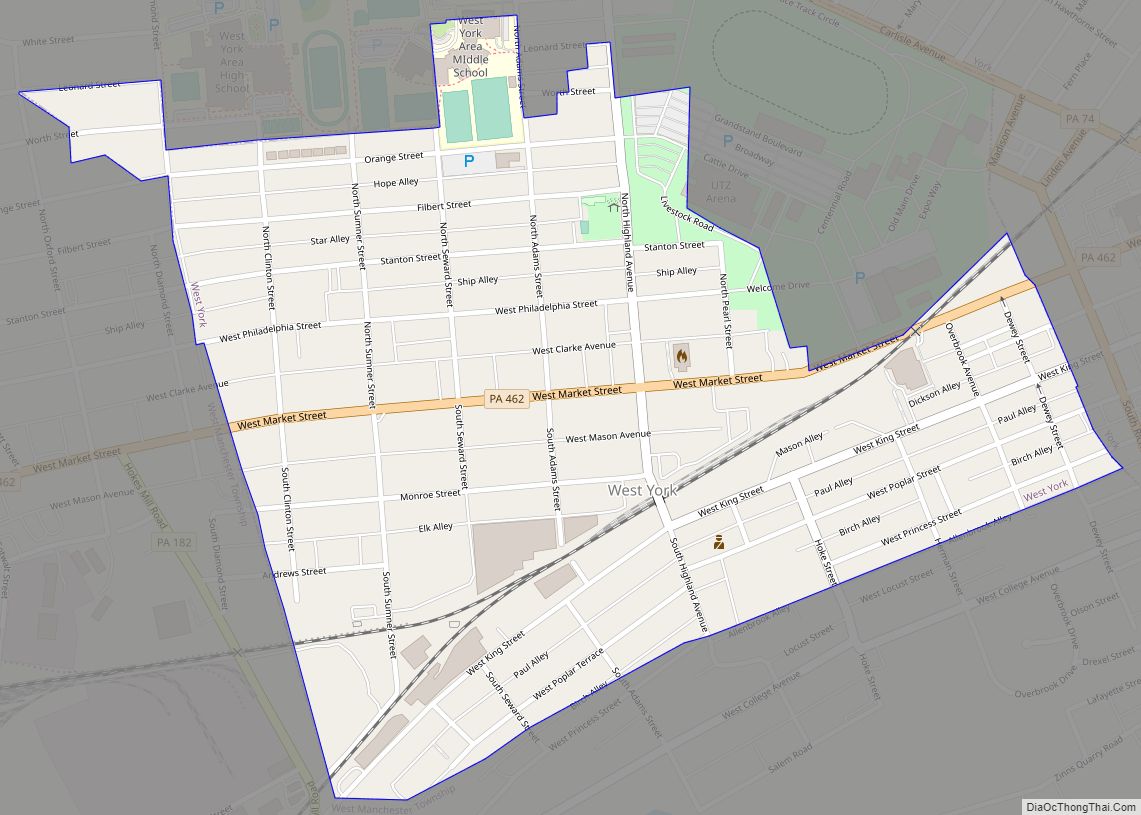
West York is a borough, adjacent to the City of York, in York County, Pennsylvania, United States. The population was 5,094 at the 2020 census. West York borough overview: Name: West York borough LSAD Code: 21 LSAD Description: borough (suffix) State: Pennsylvania County: York County Incorporated: 1904 Elevation: 404 ft (123 m) Total Area: 0.53 sq mi (1.36 km²) Land ... Read more
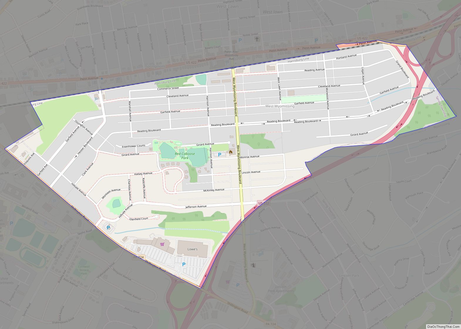
West Wyomissing is a census-designated place (CDP) in Spring Township, Berks County, Pennsylvania, United States. The population was 3,407 at the 2010 census. West Wyomissing CDP overview: Name: West Wyomissing CDP LSAD Code: 57 LSAD Description: CDP (suffix) State: Pennsylvania County: Berks County Elevation: 361 ft (110 m) Total Area: 0.7 sq mi (2 km²) Land Area: 0.7 sq mi (2 km²) Water ... Read more
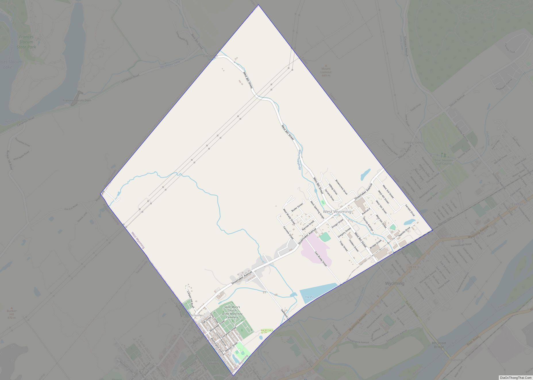
West Wyoming is a borough in Luzerne County, Pennsylvania, United States. The borough is located within the Greater Pittston metro area. The population was 2,631 at the 2020 census. West Wyoming borough overview: Name: West Wyoming borough LSAD Code: 21 LSAD Description: borough (suffix) State: Pennsylvania County: Luzerne County Incorporated: 1898 Total Area: 3.59 sq mi (9.31 km²) ... Read more
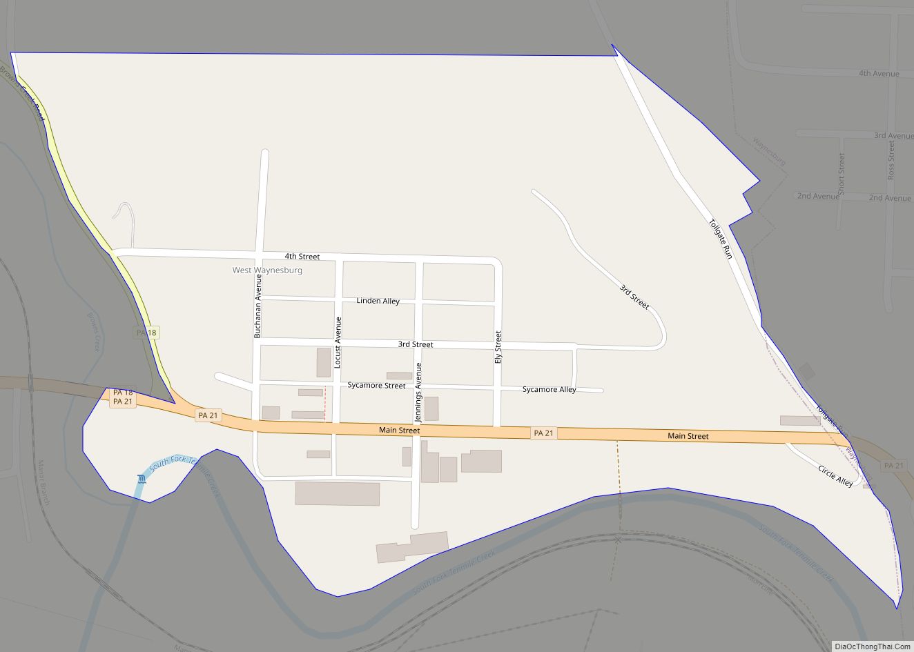
West Waynesburg is a census-designated place in Franklin Township, Greene County, Pennsylvania, United States. It is located next to the western border of Waynesburg, the Greene County seat, within a mile of downtown, along Pennsylvania Routes 18 and 21. As of the 2010 census, the population of West Waynesburg was 446. West Waynesburg CDP overview: ... Read more
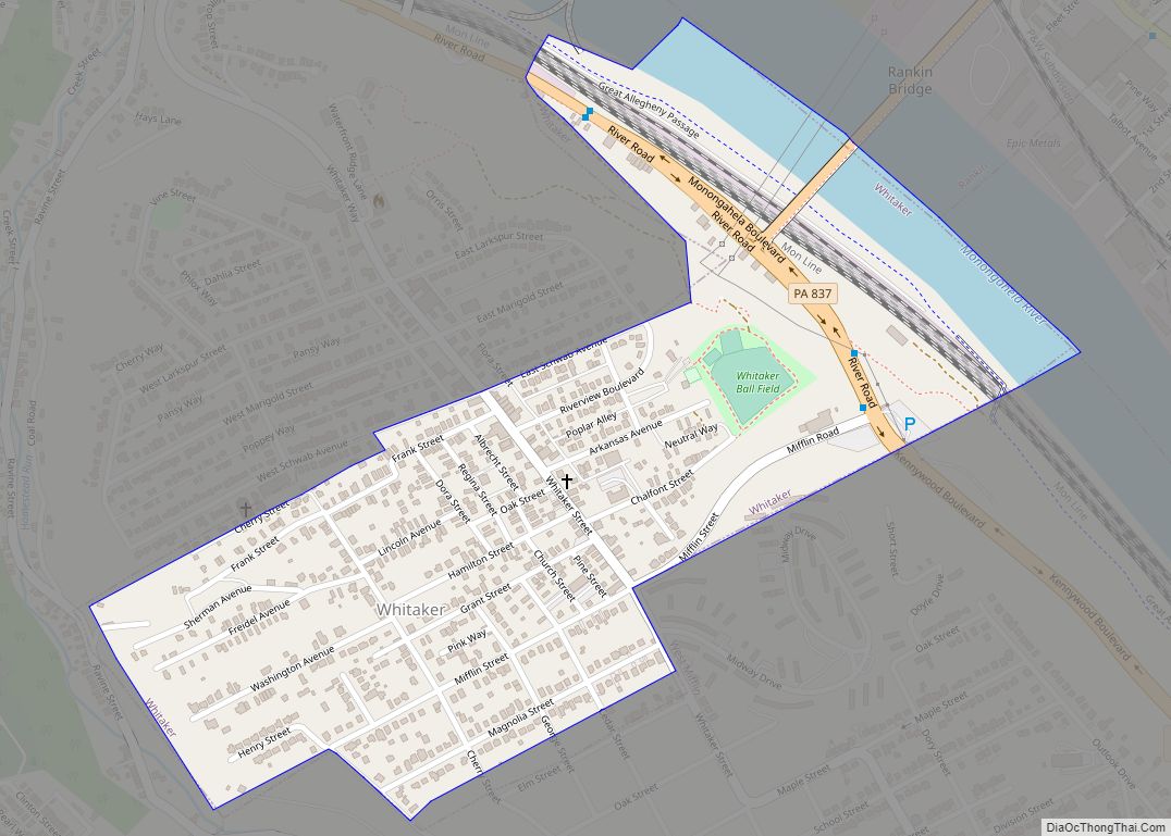
Whitaker is a borough in Allegheny County, Pennsylvania, United States, and is on the Monongahela River 3 miles (5 km) upriver from Pittsburgh. The population was 1,179 at the 2020 census. The borough is named for James Whitaker, a pioneer settler. Whitaker was incorporated January 4, 1904, from part of the former Mifflin Township. Whitaker borough ... Read more
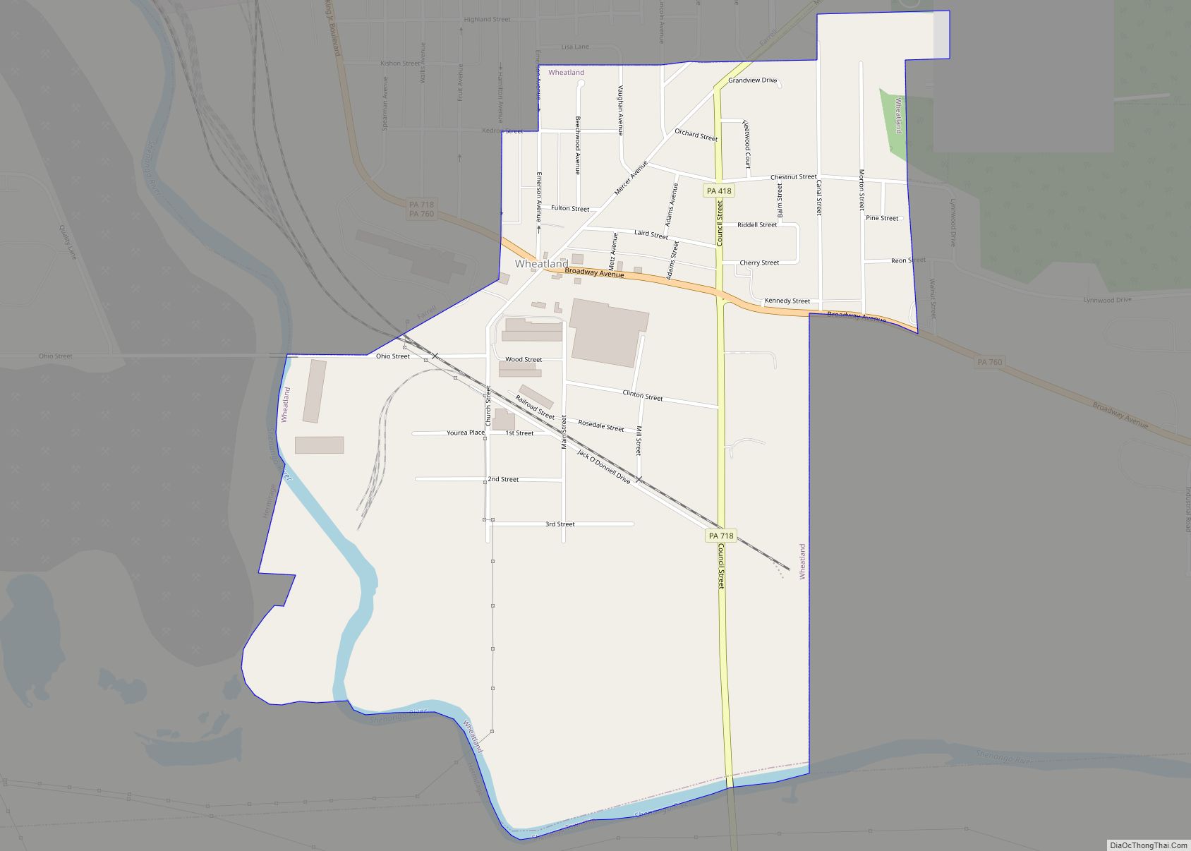
Wheatland is a borough in Mercer County, Pennsylvania, United States, along the Shenango River. The population was 583 at the 2020 census. It is part of the Youngstown-Warren metropolitan area. Wheatland suffered catastrophic damage on May 31, 1985, when an F5 tornado struck the area. In Wheatland, over 100 buildings were leveled, and 18 fatalities ... Read more
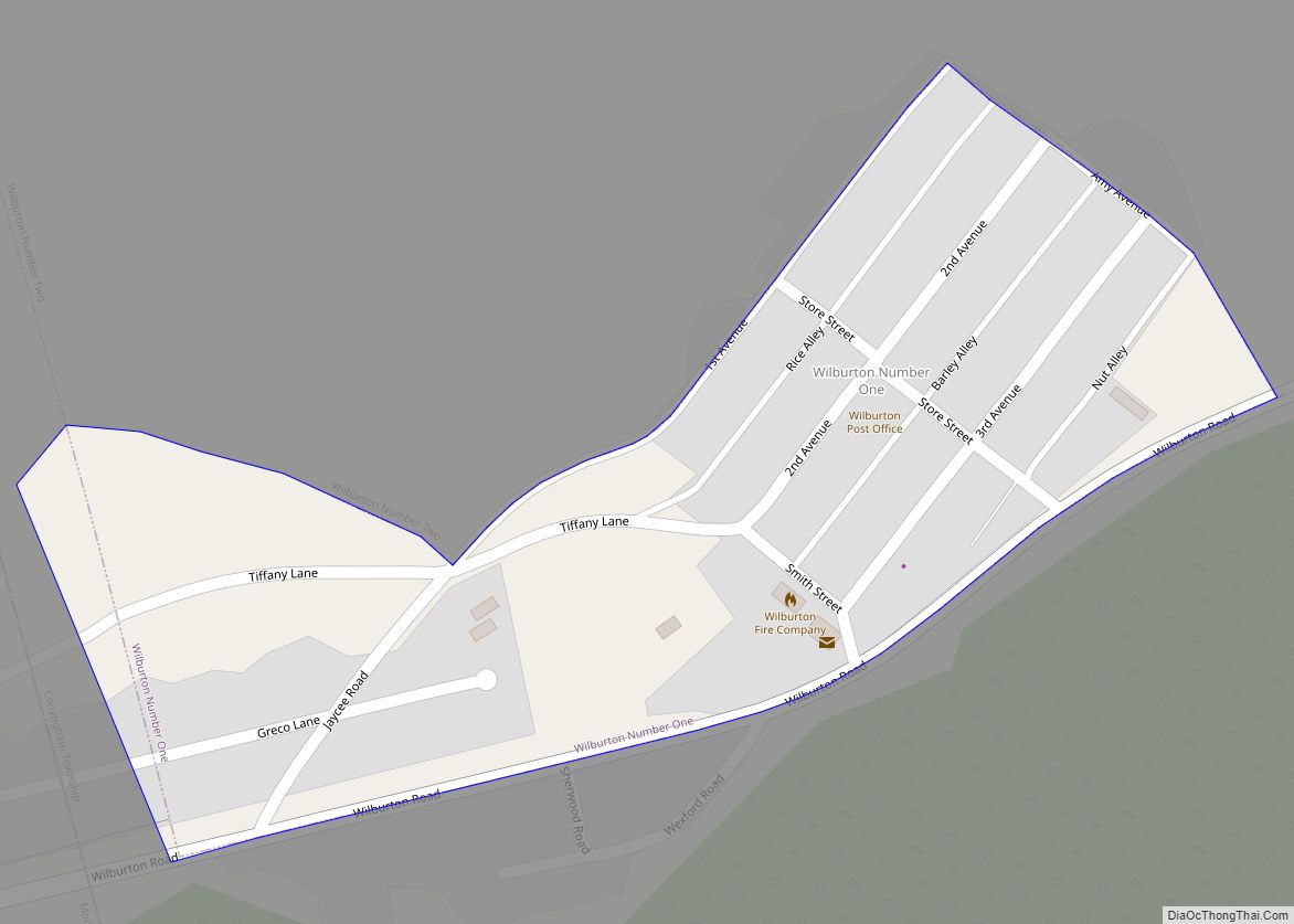
Wilburton Number One is a census-designated place (CDP) in Columbia County, Pennsylvania, United States. It is part of Northeastern Pennsylvania. The population was 196 at the 2010 census. It is part of the Bloomsburg-Berwick micropolitan area. Wilburton Number One CDP overview: Name: Wilburton Number One CDP LSAD Code: 57 LSAD Description: CDP (suffix) State: Pennsylvania ... Read more
Wiconsico CDP overview: Name: Wiconsico CDP LSAD Code: 57 LSAD Description: CDP (suffix) State: Pennsylvania County: Dauphin County FIPS code: 4284968 Online Interactive Map Wiconsico online map. Source: Basemap layers from Google Map, Open Street Map (OSM), Arcgisonline, Wmflabs. Boundary Data from Database of Global Administrative Areas. Wiconsico location map. Where is Wiconsico CDP? Wiconsico ... Read more
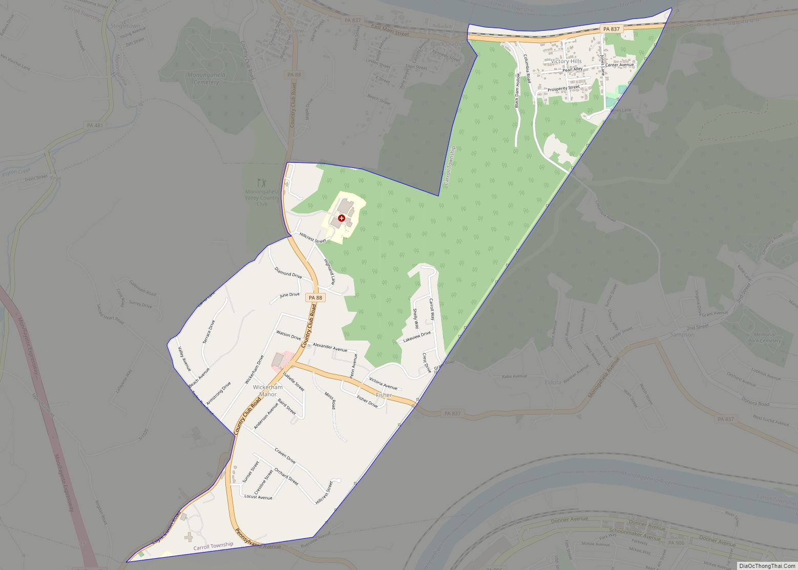
Wickerham Manor-Fisher is a census-designated place (CDP) in Washington County, Pennsylvania, United States. The population was 1,728 at the 2010 census. Wickerham Manor-Fisher CDP overview: Name: Wickerham Manor-Fisher CDP LSAD Code: 57 LSAD Description: CDP (suffix) State: Pennsylvania County: Washington County Total Area: 2.2 sq mi (6 km²) Total Population: 1,728 Population Density: 790/sq mi (300/km²) Area code: 724 ... Read more
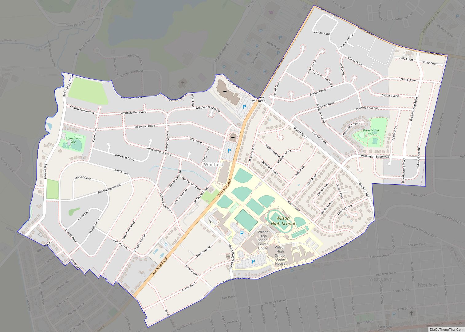
Whitfield is a census-designated place (CDP) in Berks County, Pennsylvania, United States. The population was 4,733 at the 2010 census. Whitfield CDP overview: Name: Whitfield CDP LSAD Code: 57 LSAD Description: CDP (suffix) State: Pennsylvania County: Berks County Elevation: 341 ft (104 m) Total Area: 0.7 sq mi (2 km²) Land Area: 0.7 sq mi (2 km²) Water Area: 0.0 sq mi (0 km²) Total Population: ... Read more
