West Wyoming is a borough in Luzerne County, Pennsylvania, United States. The borough is located within the Greater Pittston metro area. The population was 2,631 at the 2020 census.
| Name: | West Wyoming borough |
|---|---|
| LSAD Code: | 21 |
| LSAD Description: | borough (suffix) |
| State: | Pennsylvania |
| County: | Luzerne County |
| Incorporated: | 1898 |
| Total Area: | 3.59 sq mi (9.31 km²) |
| Land Area: | 3.59 sq mi (9.31 km²) |
| Water Area: | 0.00 sq mi (0.00 km²) |
| Total Population: | 2,631 |
| Population Density: | 744.78/sq mi (287.54/km²) |
| Area code: | 570 |
| FIPS code: | 4284272 |
| Website: | www.westwyoming.org |
Online Interactive Map
Click on ![]() to view map in "full screen" mode.
to view map in "full screen" mode.
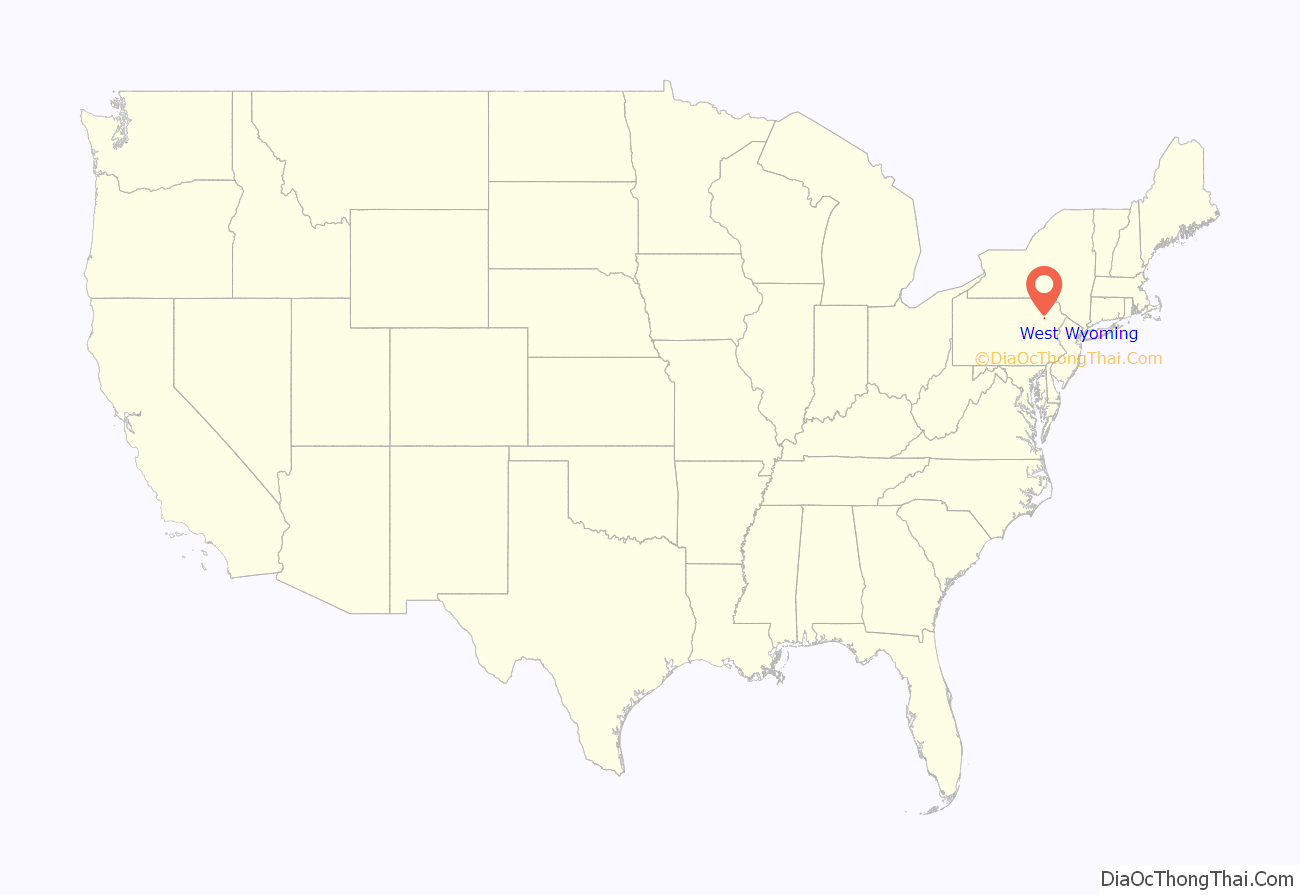
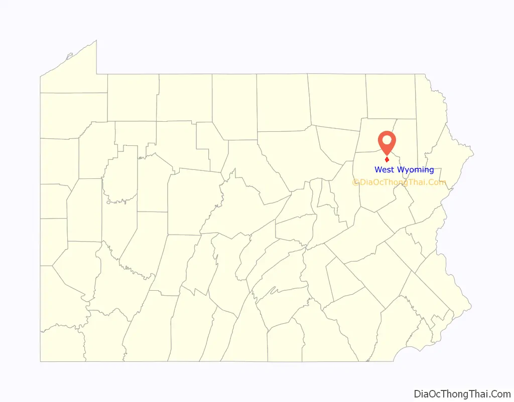
West Wyoming location map. Where is West Wyoming borough?
History
Establishment
In 1768, the Susquehanna Company of Connecticut devised a plan to divide the Wyoming Valley into five townships. Each township was to be divided amongst forty settlers. West Wyoming was originally part of Kingston Township. The community’s first forty settlers arrived in February 1769. Benjamin Carpenter and his brother Gilbert developed several mills along the banks of Abrahams Creek around 1800. The first mills included a grist mill and a saw mill.
Borough
The community eventually broke away from Kingston Township in 1885. The town was originally known as Carpentersville, Shoemaker’s Mills, and New Troy. It was officially incorporated as the Borough of West Wyoming in 1898.
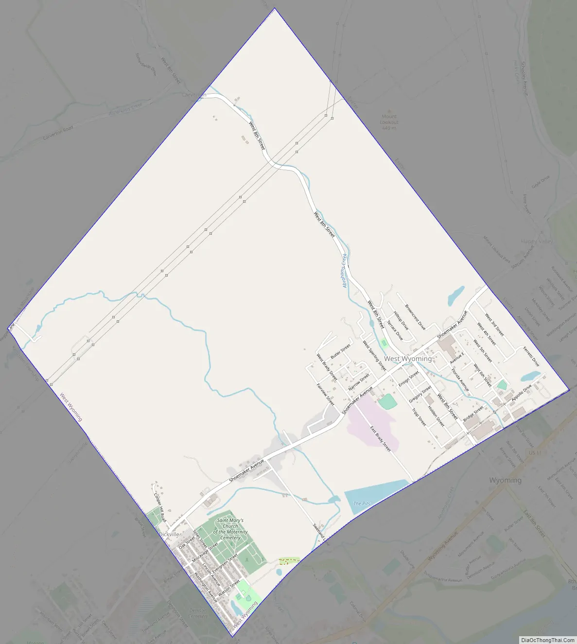
West Wyoming Road Map
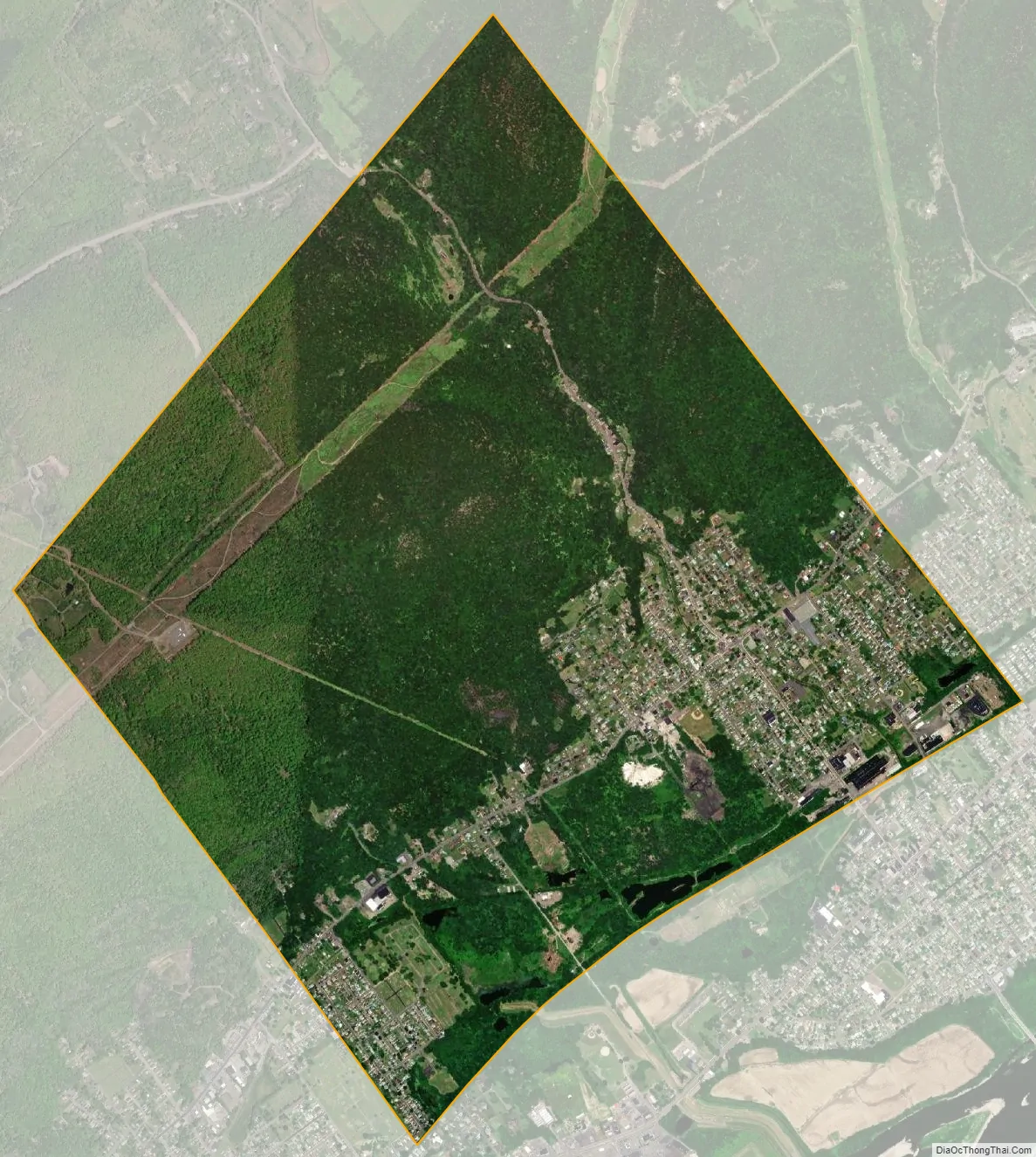
West Wyoming city Satellite Map
Geography
West Wyoming is part of Greater Pittston; it is located at 41°18′50″N 75°51′6″W / 41.31389°N 75.85167°W / 41.31389; -75.85167 (41.313780, -75.851640). According to the United States Census Bureau, the borough has a total area of 3.6 square miles (9.4 km), all land.
The northern and northeastern sections of the borough are mostly made up of thick forests and mountains. Frances Slocum State Park is located nearby. West Eighth Street and Abrahams Creek run through a mountain pass — which links Greater Pittston to the Back Mountain. West Eighth Street intersects with Shoemaker Avenue near the eastern portion of the borough. Most homes and businesses are located in the southern and eastern sections of West Wyoming.
The following communities neighbor West Wyoming: Exeter Township (north), Exeter Borough (northeast, east), Wyoming Borough (southeast), Swoyersville Borough (southwest), and Kingston Township (west, northwest).
See also
Map of Pennsylvania State and its subdivision:- Adams
- Allegheny
- Armstrong
- Beaver
- Bedford
- Berks
- Blair
- Bradford
- Bucks
- Butler
- Cambria
- Cameron
- Carbon
- Centre
- Chester
- Clarion
- Clearfield
- Clinton
- Columbia
- Crawford
- Cumberland
- Dauphin
- Delaware
- Elk
- Erie
- Fayette
- Forest
- Franklin
- Fulton
- Greene
- Huntingdon
- Indiana
- Jefferson
- Juniata
- Lackawanna
- Lancaster
- Lawrence
- Lebanon
- Lehigh
- Luzerne
- Lycoming
- Mc Kean
- Mercer
- Mifflin
- Monroe
- Montgomery
- Montour
- Northampton
- Northumberland
- Perry
- Philadelphia
- Pike
- Potter
- Schuylkill
- Snyder
- Somerset
- Sullivan
- Susquehanna
- Tioga
- Union
- Venango
- Warren
- Washington
- Wayne
- Westmoreland
- Wyoming
- York
- Alabama
- Alaska
- Arizona
- Arkansas
- California
- Colorado
- Connecticut
- Delaware
- District of Columbia
- Florida
- Georgia
- Hawaii
- Idaho
- Illinois
- Indiana
- Iowa
- Kansas
- Kentucky
- Louisiana
- Maine
- Maryland
- Massachusetts
- Michigan
- Minnesota
- Mississippi
- Missouri
- Montana
- Nebraska
- Nevada
- New Hampshire
- New Jersey
- New Mexico
- New York
- North Carolina
- North Dakota
- Ohio
- Oklahoma
- Oregon
- Pennsylvania
- Rhode Island
- South Carolina
- South Dakota
- Tennessee
- Texas
- Utah
- Vermont
- Virginia
- Washington
- West Virginia
- Wisconsin
- Wyoming


