Wheatland is a borough in Mercer County, Pennsylvania, United States, along the Shenango River. The population was 583 at the 2020 census. It is part of the Youngstown-Warren metropolitan area.
Wheatland suffered catastrophic damage on May 31, 1985, when an F5 tornado struck the area. In Wheatland, over 100 buildings were leveled, and 18 fatalities are associated with this tornado, with most being in Niles, Ohio.
| Name: | Wheatland borough |
|---|---|
| LSAD Code: | 21 |
| LSAD Description: | borough (suffix) |
| State: | Pennsylvania |
| County: | Mercer County |
| Total Area: | 0.87 sq mi (2.26 km²) |
| Land Area: | 0.87 sq mi (2.26 km²) |
| Water Area: | 0.00 sq mi (0.00 km²) |
| Total Population: | 583 |
| Population Density: | 666.67/sq mi (257.41/km²) |
| Area code: | 724 |
| FIPS code: | 4284376 |
Online Interactive Map
Click on ![]() to view map in "full screen" mode.
to view map in "full screen" mode.
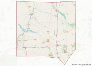
Wheatland location map. Where is Wheatland borough?

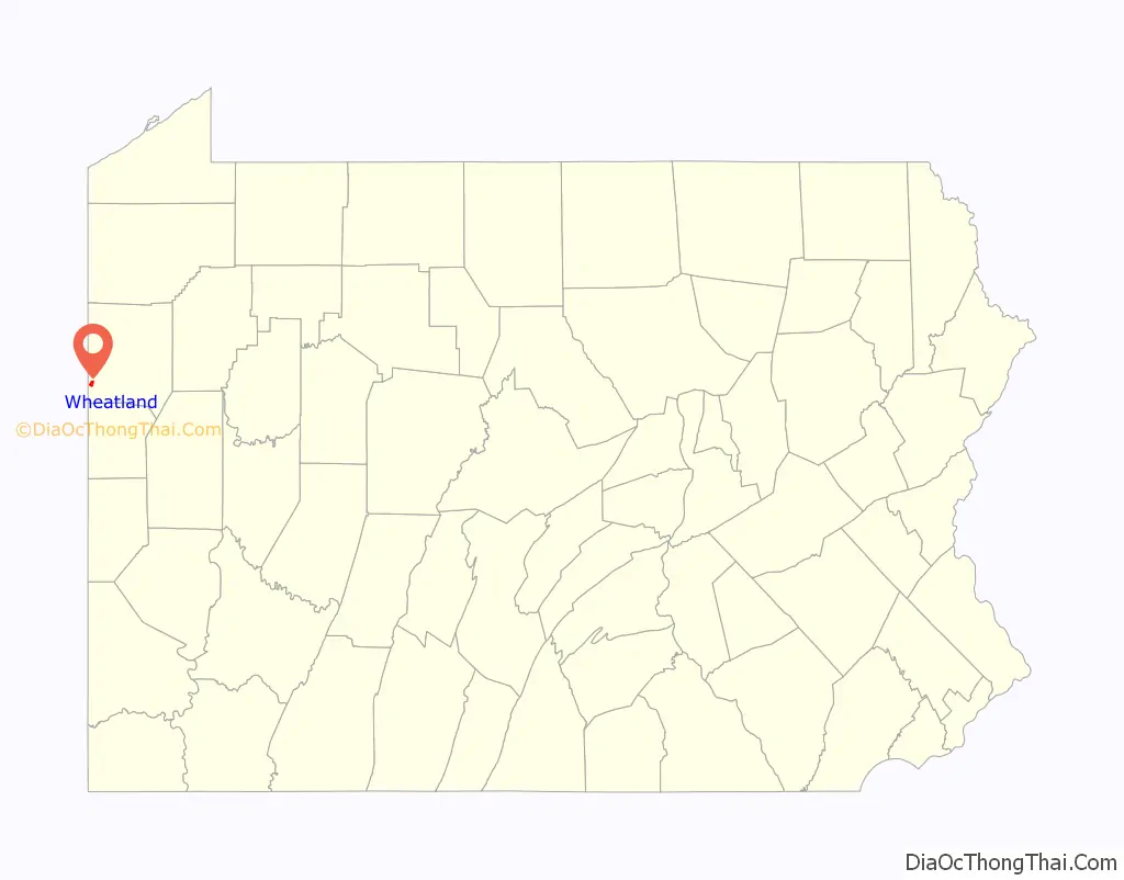
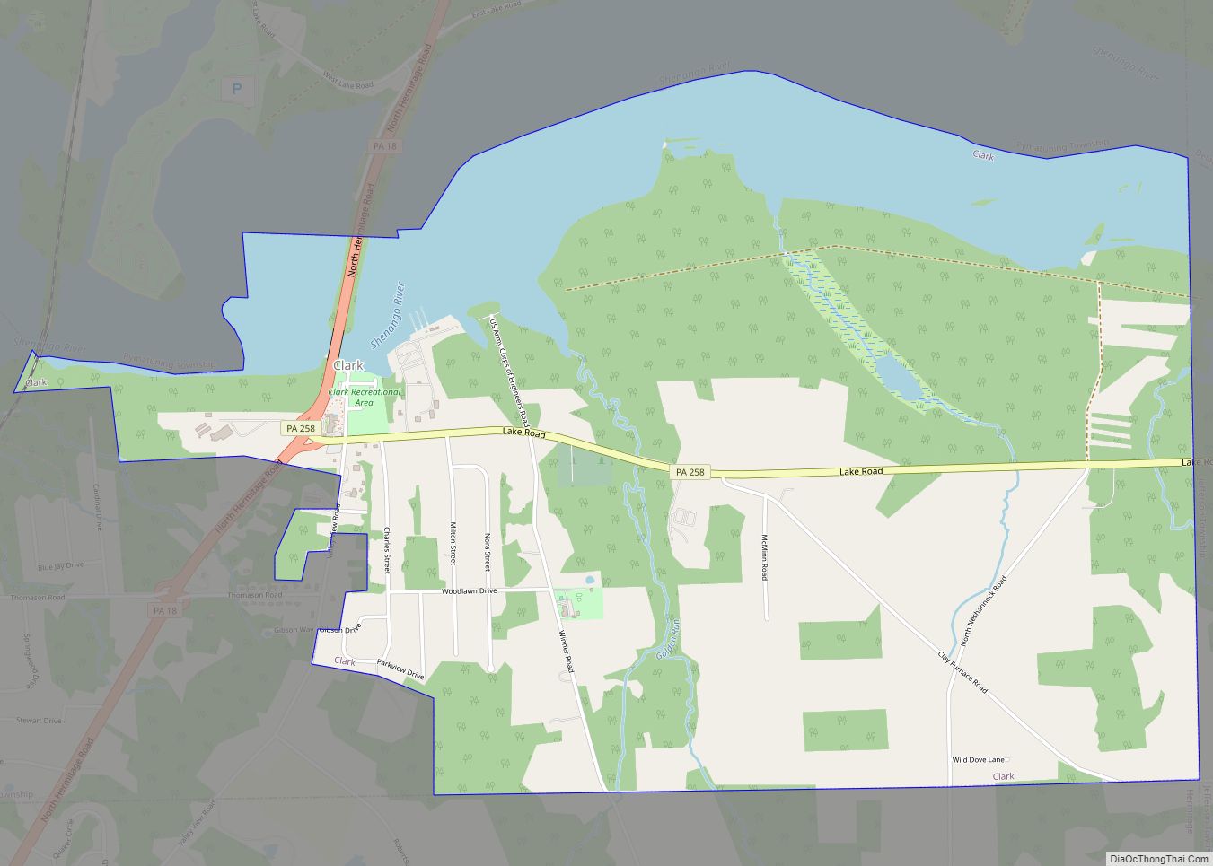
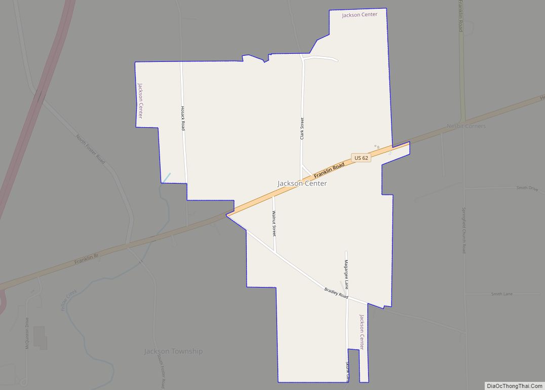
Wheatland Road Map

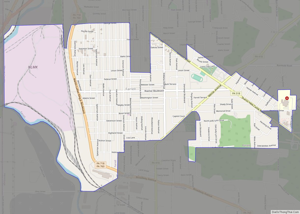
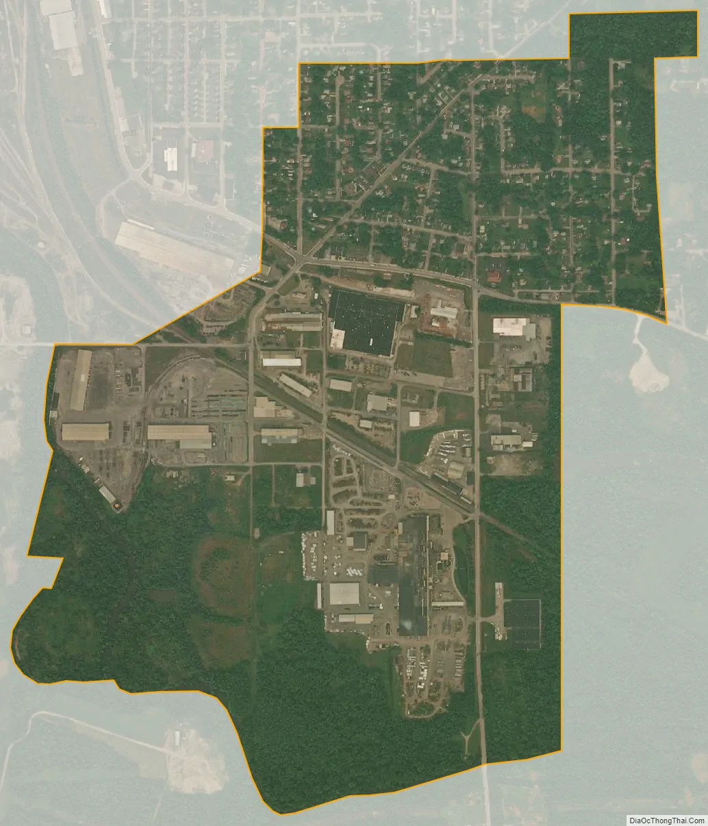
Wheatland city Satellite Map
Geography
Wheatland is located at 41°12′1″N 80°29′45″W / 41.20028°N 80.49583°W / 41.20028; -80.49583 (41.200389, -80.495709).
According to the United States Census Bureau, the borough has a total area of 0.9 square miles (2.3 km), all land.
See also
Map of Pennsylvania State and its subdivision:- Adams
- Allegheny
- Armstrong
- Beaver
- Bedford
- Berks
- Blair
- Bradford
- Bucks
- Butler
- Cambria
- Cameron
- Carbon
- Centre
- Chester
- Clarion
- Clearfield
- Clinton
- Columbia
- Crawford
- Cumberland
- Dauphin
- Delaware
- Elk
- Erie
- Fayette
- Forest
- Franklin
- Fulton
- Greene
- Huntingdon
- Indiana
- Jefferson
- Juniata
- Lackawanna
- Lancaster
- Lawrence
- Lebanon
- Lehigh
- Luzerne
- Lycoming
- Mc Kean
- Mercer
- Mifflin
- Monroe
- Montgomery
- Montour
- Northampton
- Northumberland
- Perry
- Philadelphia
- Pike
- Potter
- Schuylkill
- Snyder
- Somerset
- Sullivan
- Susquehanna
- Tioga
- Union
- Venango
- Warren
- Washington
- Wayne
- Westmoreland
- Wyoming
- York
- Alabama
- Alaska
- Arizona
- Arkansas
- California
- Colorado
- Connecticut
- Delaware
- District of Columbia
- Florida
- Georgia
- Hawaii
- Idaho
- Illinois
- Indiana
- Iowa
- Kansas
- Kentucky
- Louisiana
- Maine
- Maryland
- Massachusetts
- Michigan
- Minnesota
- Mississippi
- Missouri
- Montana
- Nebraska
- Nevada
- New Hampshire
- New Jersey
- New Mexico
- New York
- North Carolina
- North Dakota
- Ohio
- Oklahoma
- Oregon
- Pennsylvania
- Rhode Island
- South Carolina
- South Dakota
- Tennessee
- Texas
- Utah
- Vermont
- Virginia
- Washington
- West Virginia
- Wisconsin
- Wyoming