White Haven is a borough in Luzerne County, Pennsylvania, United States. It is located along the Lehigh River. The population was 1,163 at the 2020 census.
| Name: | White Haven borough |
|---|---|
| LSAD Code: | 21 |
| LSAD Description: | borough (suffix) |
| State: | Pennsylvania |
| County: | Luzerne County |
| Incorporated: | 1842 |
| Elevation: | 1,221 ft (372 m) |
| Total Area: | 1.23 sq mi (3.19 km²) |
| Land Area: | 1.20 sq mi (3.11 km²) |
| Water Area: | 0.03 sq mi (0.08 km²) |
| Total Population: | 1,166 |
| Population Density: | 971.67/sq mi (375.20/km²) |
| ZIP code: | 18661 |
| Area code: | 570 |
| FIPS code: | 4284552 |
| Website: | www.whitehavenborough.org |
Online Interactive Map
Click on ![]() to view map in "full screen" mode.
to view map in "full screen" mode.
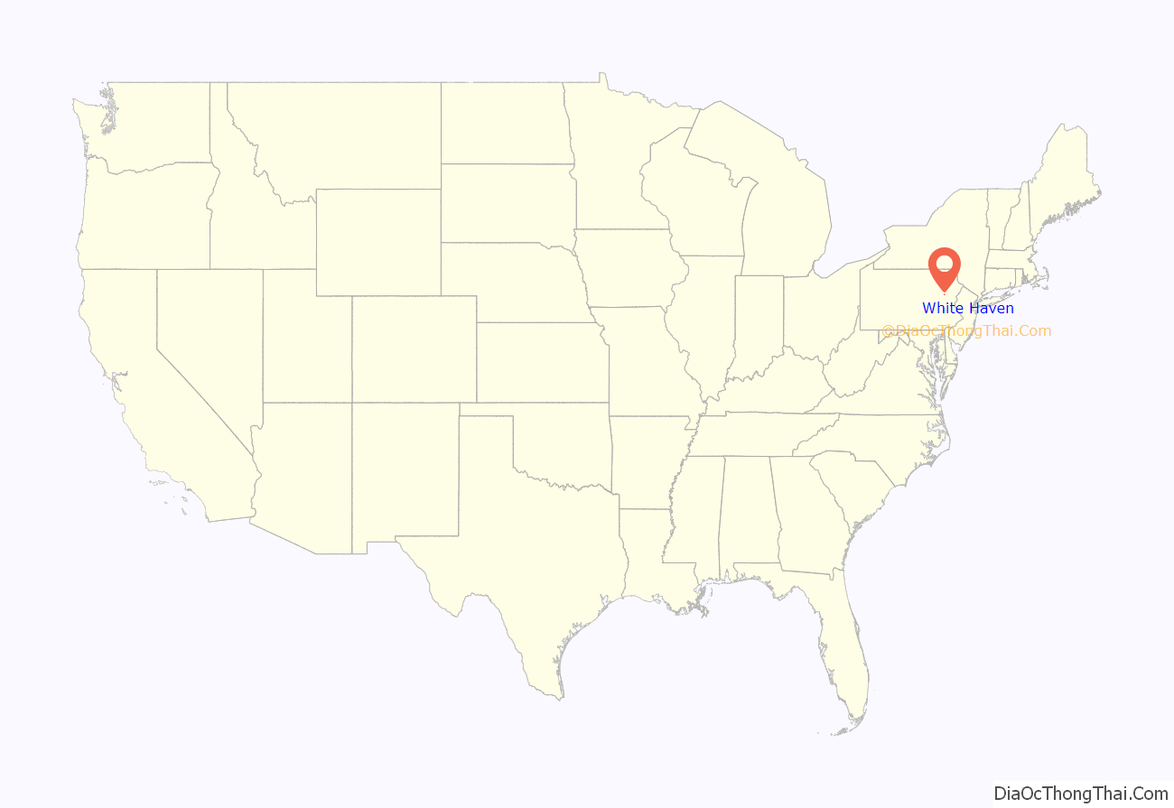
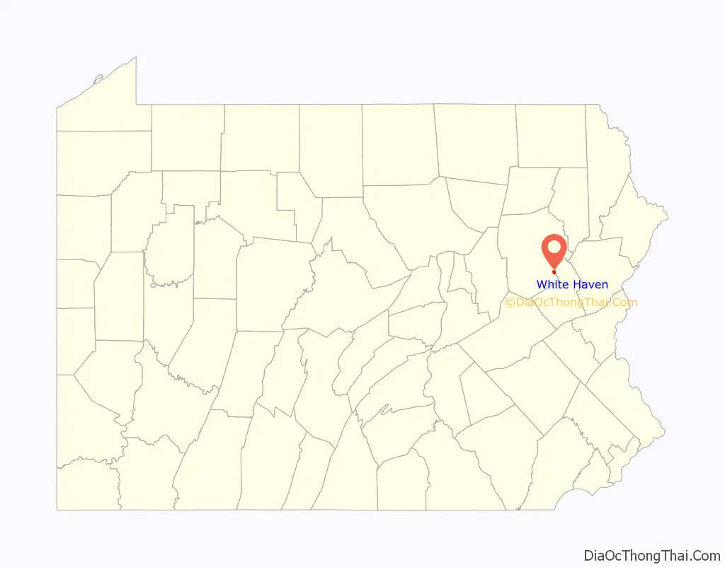
White Haven location map. Where is White Haven borough?
History
Establishment
White Haven was created in 1824 by industrialist Josiah White. It was later incorporated as a borough in 1842.
Coal mining and railroads
Early European explorers to the Wyoming Valley encountered a new form of coal — anthracite — that was abundant throughout the region. At the time, anthracite was a valuable commodity without a good use. It wasn’t until February 11, 1808, when Wilkes-Barre Judge Jesse Fell created the first iron grate in the valley to successfully burn anthracite. This invention increased the popularity of anthracite as a fuel source. This led to the expansion of the coal industry in Northeastern Pennsylvania. Throughout the 1800s, canals and railroads were constructed to aid in the mining and transportation of coal. The County of Luzerne witnessed a population boom with the expansion of the coal mining industry.
The Lehigh Coal and Navigation Company chartered the Lehigh and Susquehanna Railroad on March 31, 1837, in order to link Wilkes-Barre to White Haven. Construction of the railroad began in 1839 and was completed in the 1840s. The arduous 19.58-mile (31.51 km) route required the construction of a tunnel and three inclined planes, which included the famed Ashley Planes.
With the completion of the Lehigh and Susquehanna Railroad, the canal industry, which had existed for no more than one generation, faced a rapid extinction. The Lehigh and Susquehanna Railroad moved Wyoming Valley anthracite from its various coal fields to White Haven; over the Appalachian Mountains that had posed such a challenge to settlers for 150 years. Once the L&SR reached White Haven, an extensive transportation network expeditiously and economically delivered the Wyoming Valley’s “black diamonds” to a waiting market. By 1867, the Lehigh Valley Railroad, which was first established in the Hazleton area’s coal fields, was linked to Wilkes-Barre, and then in 1869, the Lehigh Valley Railroad was connected to other rail systems in New York State.
White Haven Road Map

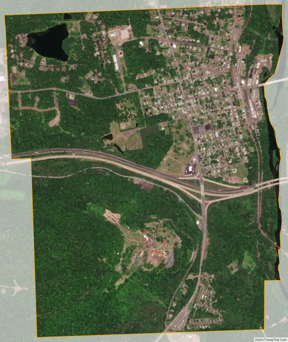
White Haven city Satellite Map
Geography
White Haven is located at 41°3′34″N 75°46′34″W / 41.05944°N 75.77611°W / 41.05944; -75.77611 (41.059532, -75.776123). The borough is 17 miles (27 km) south of Wilkes-Barre, and 4 miles (6 km) west of the I-476 and I-80 interchange. According to the U.S. Census Bureau, the borough has a total area of 1.2 square miles (3.2 km), of which 1.2 square miles (3.2 km) is land and 0.04 square miles (0.1 km), or 2.12%, is water. White Haven’s elevation is 1,221 feet (372 m) above sea level.
Family Diner
Odd Fellows Lodge
White Haven Ambulance
See also
Map of Pennsylvania State and its subdivision:- Adams
- Allegheny
- Armstrong
- Beaver
- Bedford
- Berks
- Blair
- Bradford
- Bucks
- Butler
- Cambria
- Cameron
- Carbon
- Centre
- Chester
- Clarion
- Clearfield
- Clinton
- Columbia
- Crawford
- Cumberland
- Dauphin
- Delaware
- Elk
- Erie
- Fayette
- Forest
- Franklin
- Fulton
- Greene
- Huntingdon
- Indiana
- Jefferson
- Juniata
- Lackawanna
- Lancaster
- Lawrence
- Lebanon
- Lehigh
- Luzerne
- Lycoming
- Mc Kean
- Mercer
- Mifflin
- Monroe
- Montgomery
- Montour
- Northampton
- Northumberland
- Perry
- Philadelphia
- Pike
- Potter
- Schuylkill
- Snyder
- Somerset
- Sullivan
- Susquehanna
- Tioga
- Union
- Venango
- Warren
- Washington
- Wayne
- Westmoreland
- Wyoming
- York
- Alabama
- Alaska
- Arizona
- Arkansas
- California
- Colorado
- Connecticut
- Delaware
- District of Columbia
- Florida
- Georgia
- Hawaii
- Idaho
- Illinois
- Indiana
- Iowa
- Kansas
- Kentucky
- Louisiana
- Maine
- Maryland
- Massachusetts
- Michigan
- Minnesota
- Mississippi
- Missouri
- Montana
- Nebraska
- Nevada
- New Hampshire
- New Jersey
- New Mexico
- New York
- North Carolina
- North Dakota
- Ohio
- Oklahoma
- Oregon
- Pennsylvania
- Rhode Island
- South Carolina
- South Dakota
- Tennessee
- Texas
- Utah
- Vermont
- Virginia
- Washington
- West Virginia
- Wisconsin
- Wyoming


