Linesville is a borough in Crawford County, Pennsylvania, United States. The population was 964 at the 2020 census, down from 987 at the 2019 census. The town derives its name from its founders, who included William Line (the grandson of a Swiss immigrant), who migrated from Carlisle, Pennsylvania, circa the early 1820s, and his relative, ... Read more
Pennsylvania Cities and Places
Lincolnville is a census-designated place in Crawford County, Pennsylvania, United States. The population was 96, as per the 2010 census. Lincolnville CDP overview: Name: Lincolnville CDP LSAD Code: 57 LSAD Description: CDP (suffix) State: Pennsylvania County: Crawford County Elevation: 1,379 ft (420 m) Total Area: 0.27 sq mi (0.70 km²) Land Area: 0.27 sq mi (0.70 km²) Water Area: 0.00 sq mi (0.00 km²) Total Population: ... Read more
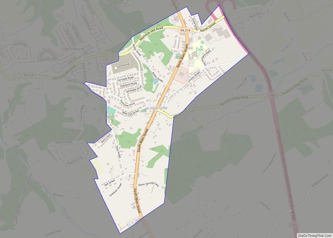
Loganville, which was founded in 1820 and named after Colonel Henry Logan, is a borough in York County, Pennsylvania, United States. The population was 1,427 at the time of the 2020 census. Loganville borough overview: Name: Loganville borough LSAD Code: 21 LSAD Description: borough (suffix) State: Pennsylvania County: York County Incorporated: 1852 Elevation: 778 ft (237 m) ... Read more
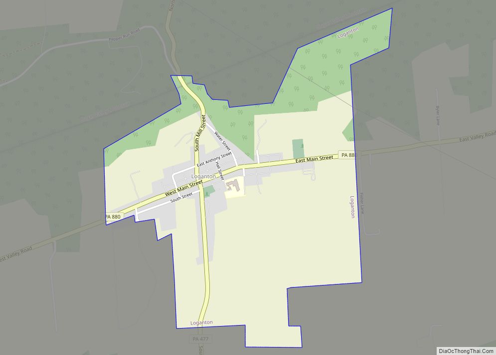
Loganton, officially the Borough of Loganton, is a borough in Clinton County, Pennsylvania, United States. The population was 469 at the 2020 census. Loganton borough overview: Name: Loganton borough LSAD Code: 21 LSAD Description: borough (suffix) State: Pennsylvania County: Clinton County Elevation: 1,297 ft (395 m) Total Area: 1.06 sq mi (2.73 km²) Land Area: 1.05 sq mi (2.73 km²) Water Area: 0.00 sq mi ... Read more
Locustdale (also known as “Locust Dale”) is a census-designated place (CDP) that is located on the border of Columbia and Schuylkill counties, Pennsylvania, United States. It is part of Northeastern Pennsylvania. The population was 177 at the time of the 2010 census. It is part of the Bloomsburg-Berwick micropolitan area. Locustdale CDP overview: Name: Locustdale ... Read more
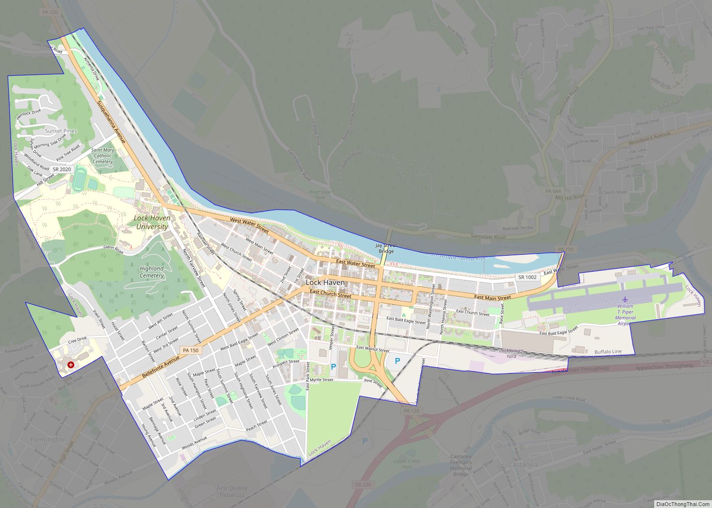
Lock Haven is the county seat of Clinton County, in the U.S. state of Pennsylvania. Located near the confluence of the West Branch Susquehanna River and Bald Eagle Creek, it is the principal city of the Lock Haven Micropolitan Statistical Area, itself part of the Williamsport–Lock Haven combined statistical area. At the 2010 census, Lock ... Read more
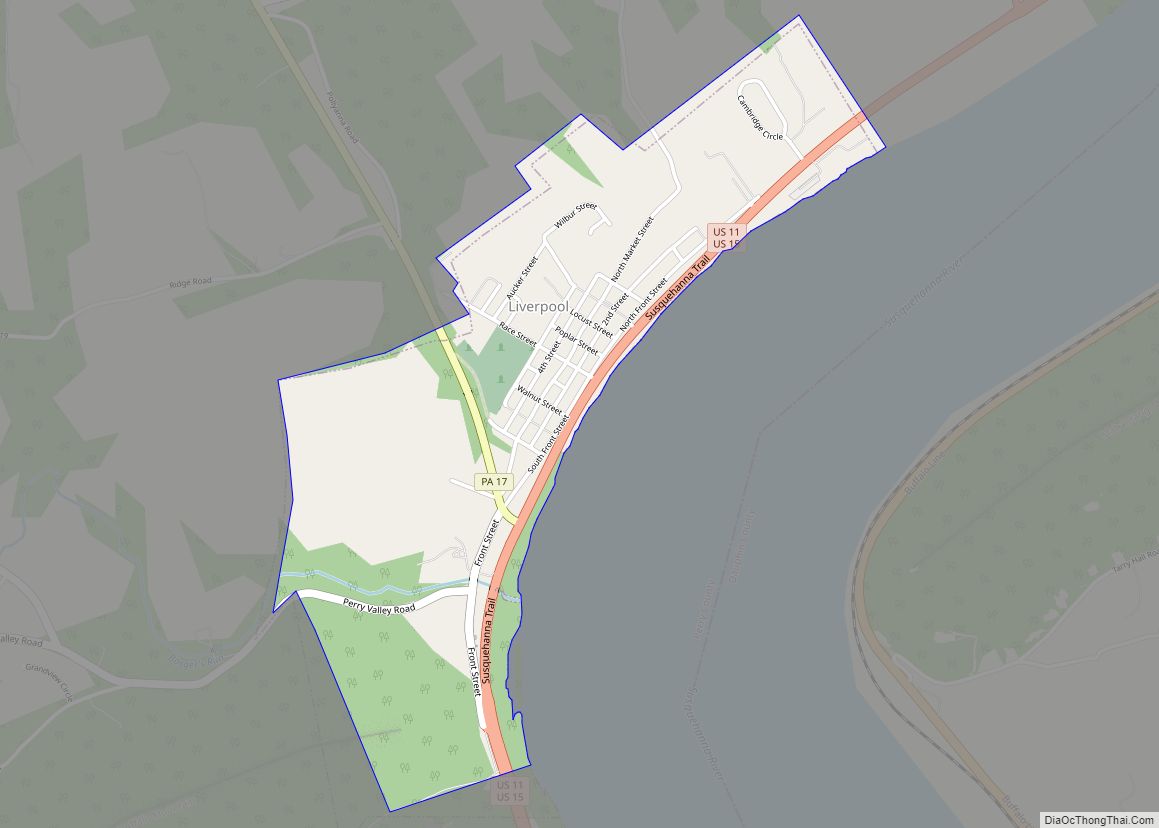
Liverpool is a borough located in the northeastern corner of Perry County, Pennsylvania, United States. It is part of the Harrisburg–Carlisle metropolitan statistical area. The borough’s population was nine hundred and fifty-nine at the time of the 2020 census. Liverpool borough overview: Name: Liverpool borough LSAD Code: 21 LSAD Description: borough (suffix) State: Pennsylvania County: ... Read more
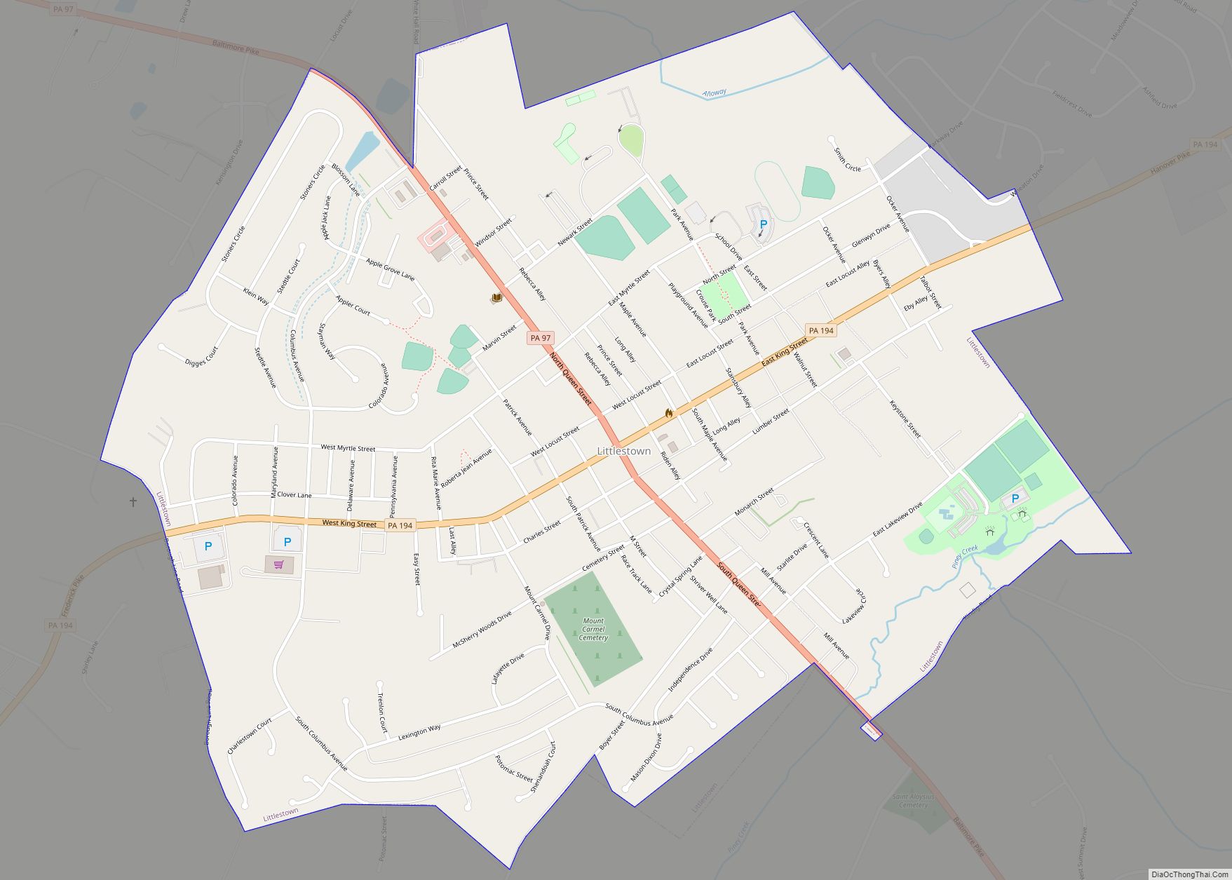
Littlestown is a borough in Adams County, Pennsylvania, United States. The population was 4,782 at the 2020 census. Originally laid out by Peter Klein in 1760, the town was first named “Petersburg”. German settlers in the area came to call the town “Kleine Stedtle”. As confusion between the town and a neighboring town (also named ... Read more
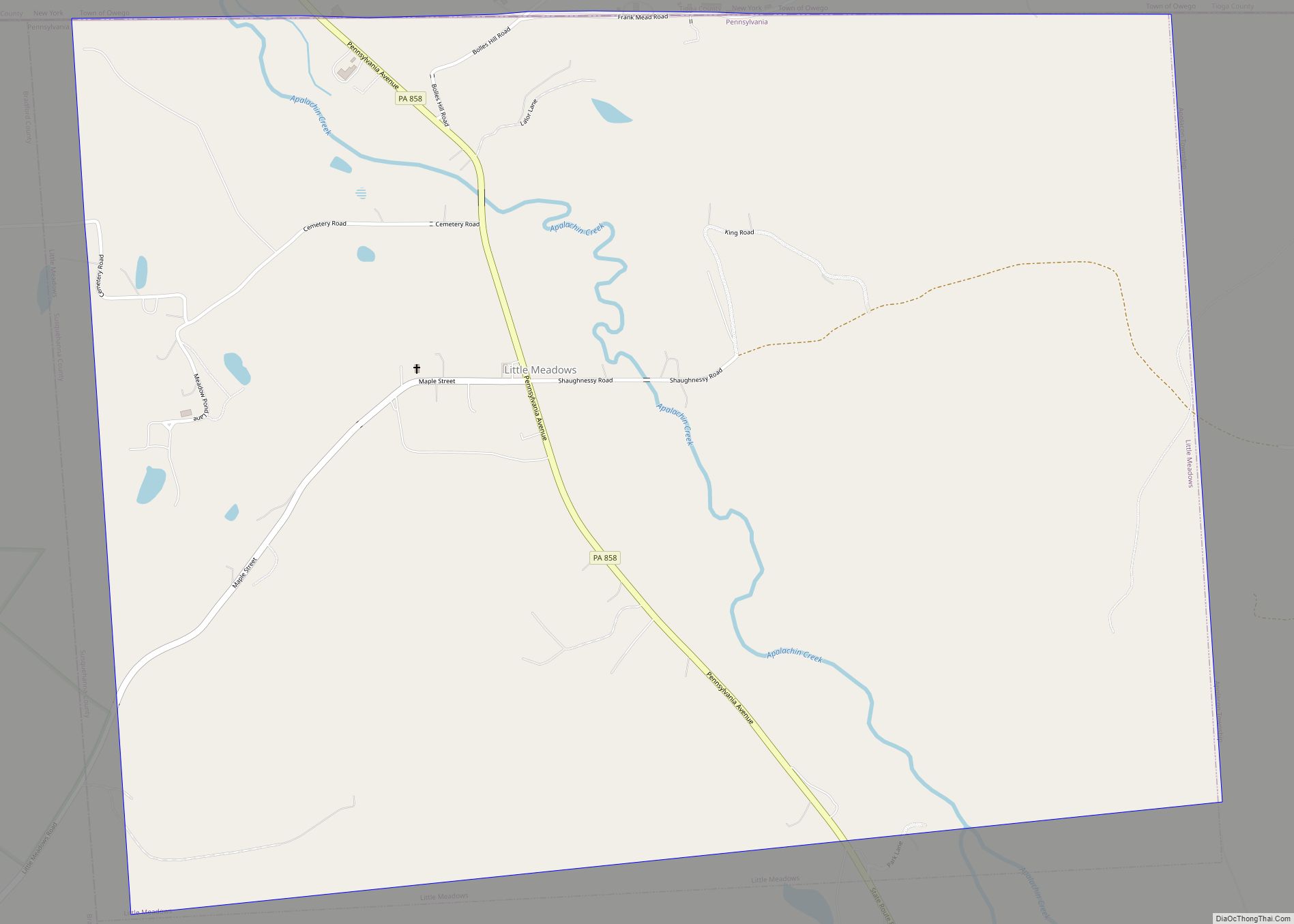
Little Meadows is a borough in Susquehanna County, Pennsylvania, United States. The population was 247 at the 2020 census. Little Meadows borough overview: Name: Little Meadows borough LSAD Code: 21 LSAD Description: borough (suffix) State: Pennsylvania County: Susquehanna County Incorporated: 1860 Total Area: 2.42 sq mi (6.26 km²) Land Area: 2.42 sq mi (6.26 km²) Water Area: 0.00 sq mi (0.00 km²) Total Population: ... Read more
Little Britain is an unincorporated community and census-designated place (CDP) in Little Britain Township, Lancaster County, Pennsylvania, United States. At the 2010 census, the population was 372. Little Britain CDP overview: Name: Little Britain CDP LSAD Code: 57 LSAD Description: CDP (suffix) State: Pennsylvania County: Lancaster County Elevation: 460 ft (140 m) Total Area: 1.45 sq mi (3.76 km²) Land ... Read more
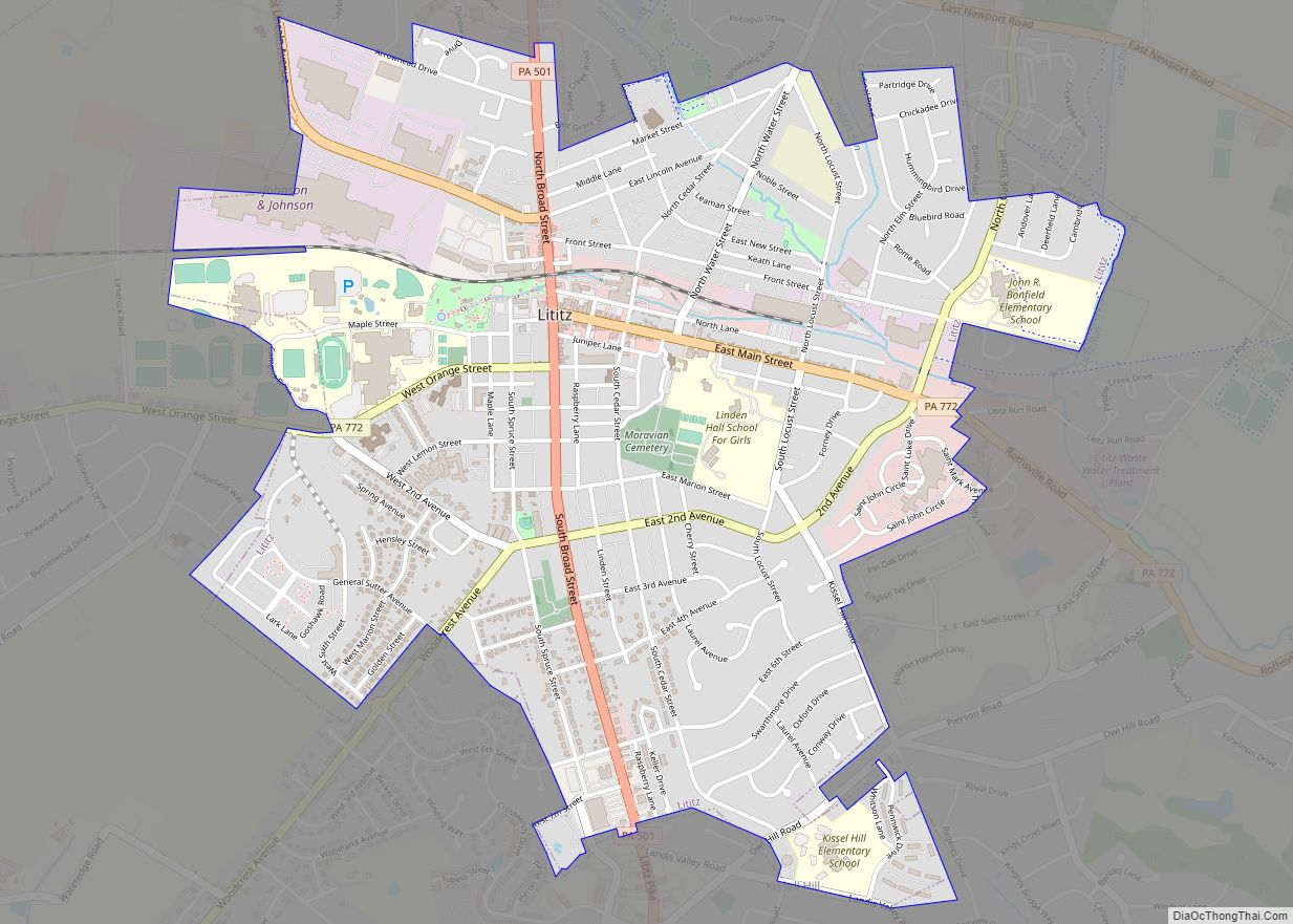
Lititz /ˈlɪtɪts/ is a borough in Lancaster County, Pennsylvania, United States, 9 miles (14 km) north of the city of Lancaster. As of the 2020 census, it had a population of 9,370. Lititz borough overview: Name: Lititz borough LSAD Code: 21 LSAD Description: borough (suffix) State: Pennsylvania County: Lancaster County Founded: 1756 Elevation: 381 ft (116 m) Total ... Read more
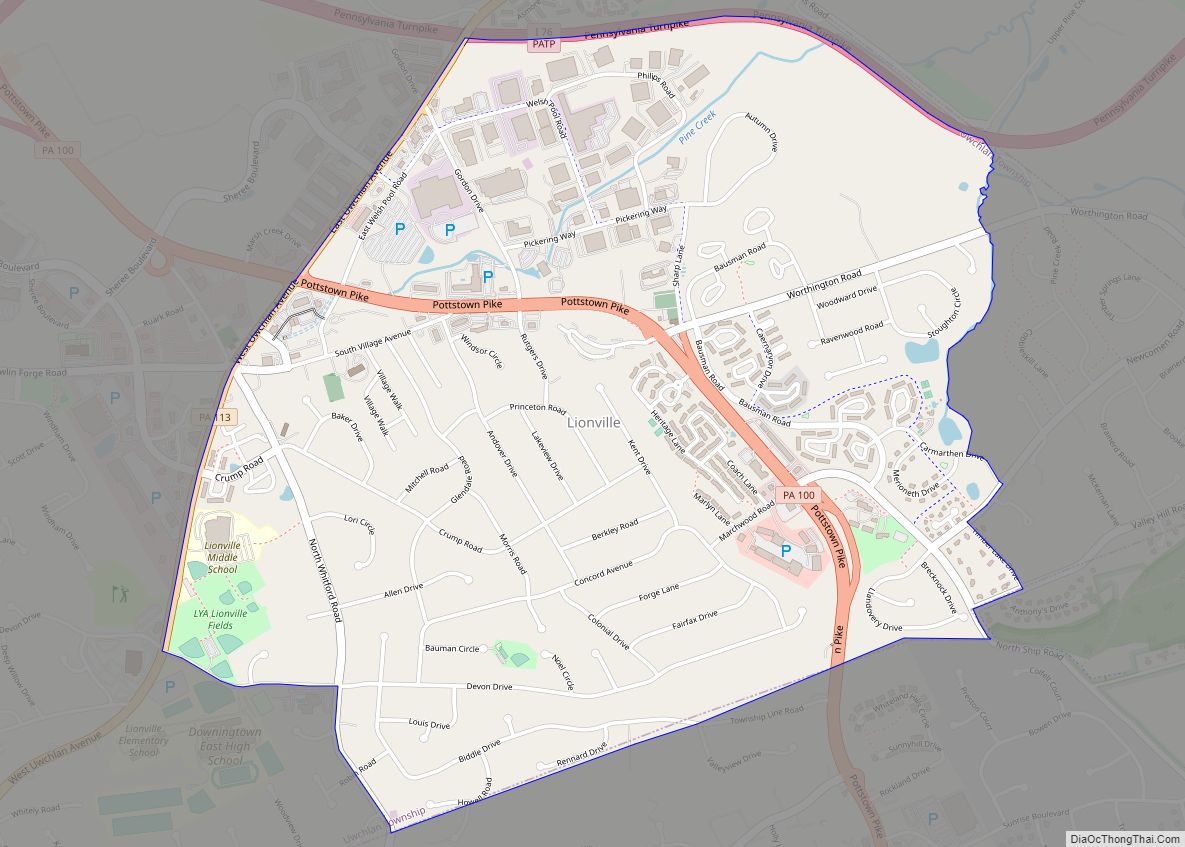
Lionville is a census-designated place (CDP) in Uwchlan Township, Chester County, Pennsylvania, United States. The population was 6,189 at the 2010 census. Prior to 2010 the CDP was recorded as Lionville-Marchwood. “Marchwood”, however, refers only to the housing development begun in the early 1960s that is located south of the 100-113 intersection. Lionville is bisected ... Read more


