Lima (/ˈlaɪmə/, LY-mə) is an unincorporated community and census-designated place (CDP) in Middletown Township, Delaware County, Pennsylvania, United States. The population was 2,735 at the 2010 census, down from 3,225 at the 2000 census.
| Name: | Lima CDP |
|---|---|
| LSAD Code: | 57 |
| LSAD Description: | CDP (suffix) |
| State: | Pennsylvania |
| County: | Delaware County |
| Elevation: | 348 ft (106 m) |
| Total Area: | 1.47 sq mi (3.81 km²) |
| Land Area: | 1.47 sq mi (3.81 km²) |
| Water Area: | 0.00 sq mi (0.00 km²) |
| Total Population: | 2,745 |
| Population Density: | 1,867.35/sq mi (721.19/km²) |
| ZIP code: | 19037 |
| FIPS code: | 4243272 |
| GNISfeature ID: | 1179346 |
Online Interactive Map
Click on ![]() to view map in "full screen" mode.
to view map in "full screen" mode.
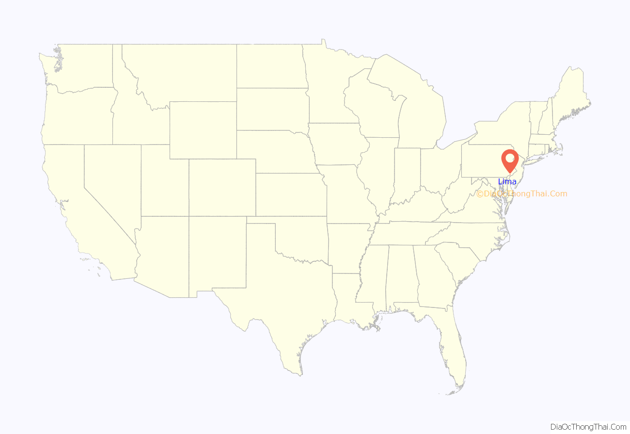
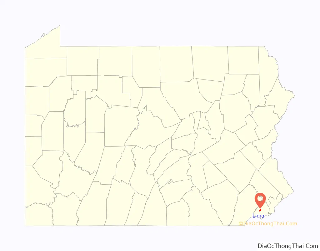
Lima location map. Where is Lima CDP?
History
The Middletown Friends Meetinghouse was built in 1702 and is one of the oldest Friends meetinghouses in what was originally Chester County. Lima played an important role in the anti-slavery movement. Not only did residents advocate for manumission, noted local families such as the Van Leers and Foxes bought and sold lots to free black tradesmen or only to people who were supportive of the free black community. The location was known as The Village of Lima and is now known as Van Leer Avenue. The local community grew with support from local neighbors.
The John J. Tyler Arboretum was listed on the National Register of Historic Places in 2003.
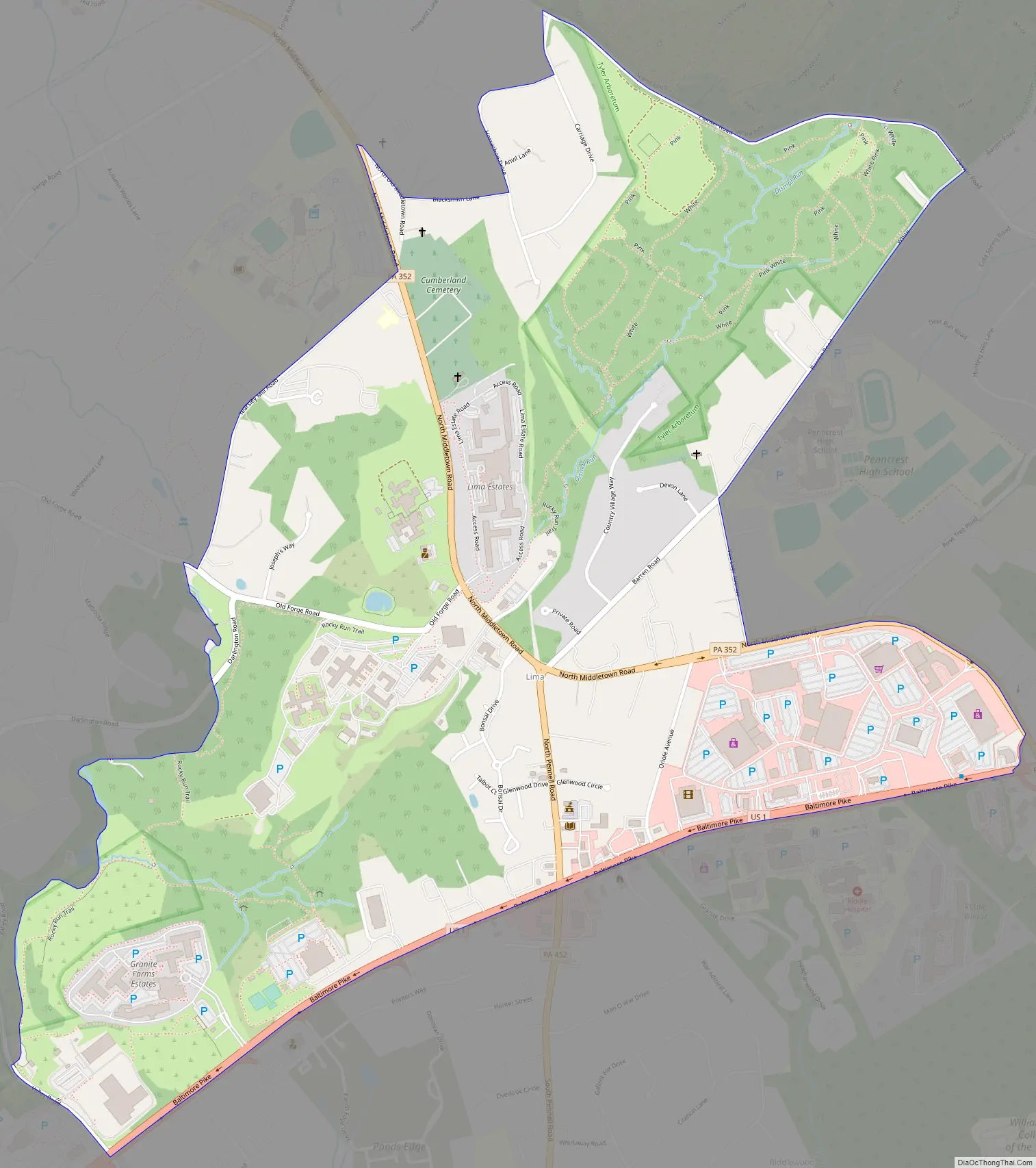
Lima Road Map
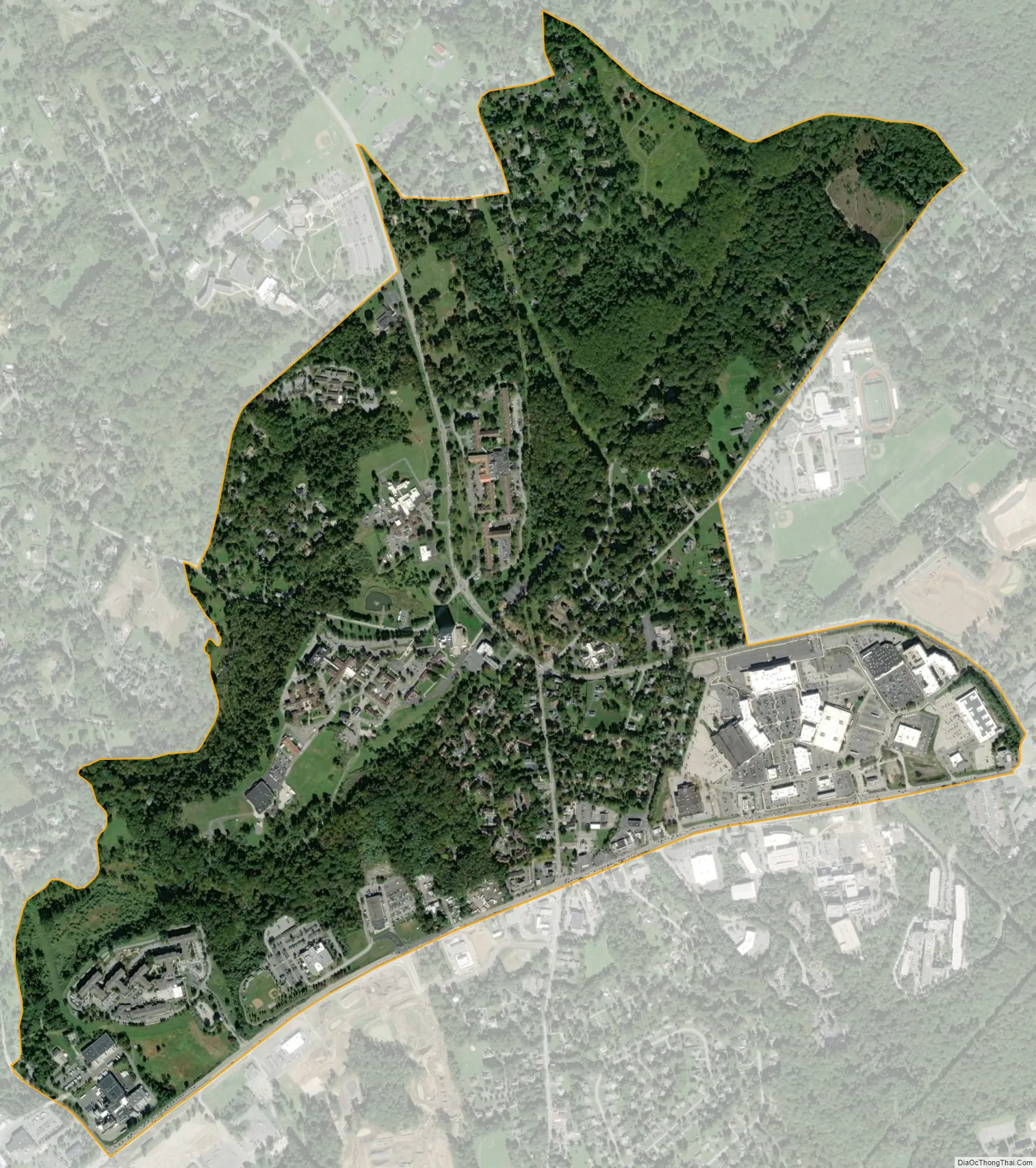
Lima city Satellite Map
Geography
Lima is located in northern Middletown Township at 39°54′59″N 75°26′31″W / 39.91639°N 75.44194°W / 39.91639; -75.44194 (39.916523, -75.441902). It is 3 miles (5 km) west of Media, the Delaware County seat. U.S. Route 1 (Baltimore Pike) forms the southern edge of the CDP and leads northeastward 16 miles (26 km) into Philadelphia.
According to the United States Census Bureau, the Lima CDP has a total area of 1.5 square miles (3.8 km), all land. It has a hot-summer humid continental climate and average monthly temperatures in the village centre range from 31.7 °F in January to 76.5 °F in July. The local hardiness zone is 7a.
See also
Map of Pennsylvania State and its subdivision:- Adams
- Allegheny
- Armstrong
- Beaver
- Bedford
- Berks
- Blair
- Bradford
- Bucks
- Butler
- Cambria
- Cameron
- Carbon
- Centre
- Chester
- Clarion
- Clearfield
- Clinton
- Columbia
- Crawford
- Cumberland
- Dauphin
- Delaware
- Elk
- Erie
- Fayette
- Forest
- Franklin
- Fulton
- Greene
- Huntingdon
- Indiana
- Jefferson
- Juniata
- Lackawanna
- Lancaster
- Lawrence
- Lebanon
- Lehigh
- Luzerne
- Lycoming
- Mc Kean
- Mercer
- Mifflin
- Monroe
- Montgomery
- Montour
- Northampton
- Northumberland
- Perry
- Philadelphia
- Pike
- Potter
- Schuylkill
- Snyder
- Somerset
- Sullivan
- Susquehanna
- Tioga
- Union
- Venango
- Warren
- Washington
- Wayne
- Westmoreland
- Wyoming
- York
- Alabama
- Alaska
- Arizona
- Arkansas
- California
- Colorado
- Connecticut
- Delaware
- District of Columbia
- Florida
- Georgia
- Hawaii
- Idaho
- Illinois
- Indiana
- Iowa
- Kansas
- Kentucky
- Louisiana
- Maine
- Maryland
- Massachusetts
- Michigan
- Minnesota
- Mississippi
- Missouri
- Montana
- Nebraska
- Nevada
- New Hampshire
- New Jersey
- New Mexico
- New York
- North Carolina
- North Dakota
- Ohio
- Oklahoma
- Oregon
- Pennsylvania
- Rhode Island
- South Carolina
- South Dakota
- Tennessee
- Texas
- Utah
- Vermont
- Virginia
- Washington
- West Virginia
- Wisconsin
- Wyoming


