Lititz /ˈlɪtɪts/ is a borough in Lancaster County, Pennsylvania, United States, 9 miles (14 km) north of the city of Lancaster. As of the 2020 census, it had a population of 9,370.
| Name: | Lititz borough |
|---|---|
| LSAD Code: | 21 |
| LSAD Description: | borough (suffix) |
| State: | Pennsylvania |
| County: | Lancaster County |
| Founded: | 1756 |
| Elevation: | 381 ft (116 m) |
| Total Area: | 2.33 sq mi (6.02 km²) |
| Land Area: | 2.32 sq mi (6.01 km²) |
| Water Area: | 0.00 sq mi (0.01 km²) |
| Total Population: | 9,381 |
| Population Density: | 4,040.05/sq mi (1,559.73/km²) |
| ZIP code: | 17543 |
| FIPS code: | 4243816 |
| Website: | www.lititzpa.com |
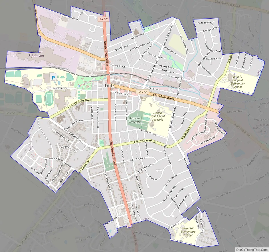
Online Interactive Map
Click on ![]() to view map in "full screen" mode.
to view map in "full screen" mode.
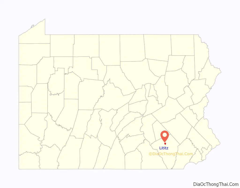
Lititz location map. Where is Lititz borough?

History
Lititz was founded by members of the Moravian Church in 1756 and was named after a castle in Bohemia near the village of Kunvald where the ancient Bohemian Brethren’s Church had been founded in 1457. The roots of the Moravian Brethren’s Church date back to the ancient Bohemian Brethren’s Church. It was one of the four leading Moravian communities in the Northeastern United States (Bethlehem, Emmaus and Nazareth, each in Pennsylvania, were the three others).
For a century, only Moravians were permitted to live in Lititz. Until the middle of the 19th century, only members of the congregation could own houses; others were required to lease. The lease system was abolished in 1855, just five years before the beginning of the Civil War. More information can be found in the book A Brief History of Lititz Pennsylvania by Mary Augusta Huevener, published in 1947.
During a part of the American Revolution, the Brethren’s House, built in 1759, was used as a hospital. A number of soldiers died and were buried here. Lititz is also home to Linden Hall School, the oldest all-girls boarding school in the United States. Located adjacent to the Moravian Church on 47 acres (19 ha) of land, Linden Hall School was founded by the Moravians in 1746, a decade before the borough was incorporated.
Lititz Road Map
Lititz city Satellite Map

Geography
According to the U.S. Census Bureau, the borough has a total area of 2.3 square miles (6.0 km), of which 2.00 acres (8,090 m), or 0.13%, are water. Lititz Run flows through the downtown from Lititz Springs Park toward the Conestoga River, 6 miles (10 km) to the southeast.
Lititz has a hot-summer humid continental climate (Dfa) and average monthly temperatures range from 30.1 °F in January to 74.7 °F in July. PRISM Climate Group at Oregon State University The local hardiness zone is 6b.
See also
Map of Pennsylvania State and its subdivision:- Adams
- Allegheny
- Armstrong
- Beaver
- Bedford
- Berks
- Blair
- Bradford
- Bucks
- Butler
- Cambria
- Cameron
- Carbon
- Centre
- Chester
- Clarion
- Clearfield
- Clinton
- Columbia
- Crawford
- Cumberland
- Dauphin
- Delaware
- Elk
- Erie
- Fayette
- Forest
- Franklin
- Fulton
- Greene
- Huntingdon
- Indiana
- Jefferson
- Juniata
- Lackawanna
- Lancaster
- Lawrence
- Lebanon
- Lehigh
- Luzerne
- Lycoming
- Mc Kean
- Mercer
- Mifflin
- Monroe
- Montgomery
- Montour
- Northampton
- Northumberland
- Perry
- Philadelphia
- Pike
- Potter
- Schuylkill
- Snyder
- Somerset
- Sullivan
- Susquehanna
- Tioga
- Union
- Venango
- Warren
- Washington
- Wayne
- Westmoreland
- Wyoming
- York
- Alabama
- Alaska
- Arizona
- Arkansas
- California
- Colorado
- Connecticut
- Delaware
- District of Columbia
- Florida
- Georgia
- Hawaii
- Idaho
- Illinois
- Indiana
- Iowa
- Kansas
- Kentucky
- Louisiana
- Maine
- Maryland
- Massachusetts
- Michigan
- Minnesota
- Mississippi
- Missouri
- Montana
- Nebraska
- Nevada
- New Hampshire
- New Jersey
- New Mexico
- New York
- North Carolina
- North Dakota
- Ohio
- Oklahoma
- Oregon
- Pennsylvania
- Rhode Island
- South Carolina
- South Dakota
- Tennessee
- Texas
- Utah
- Vermont
- Virginia
- Washington
- West Virginia
- Wisconsin
- Wyoming


