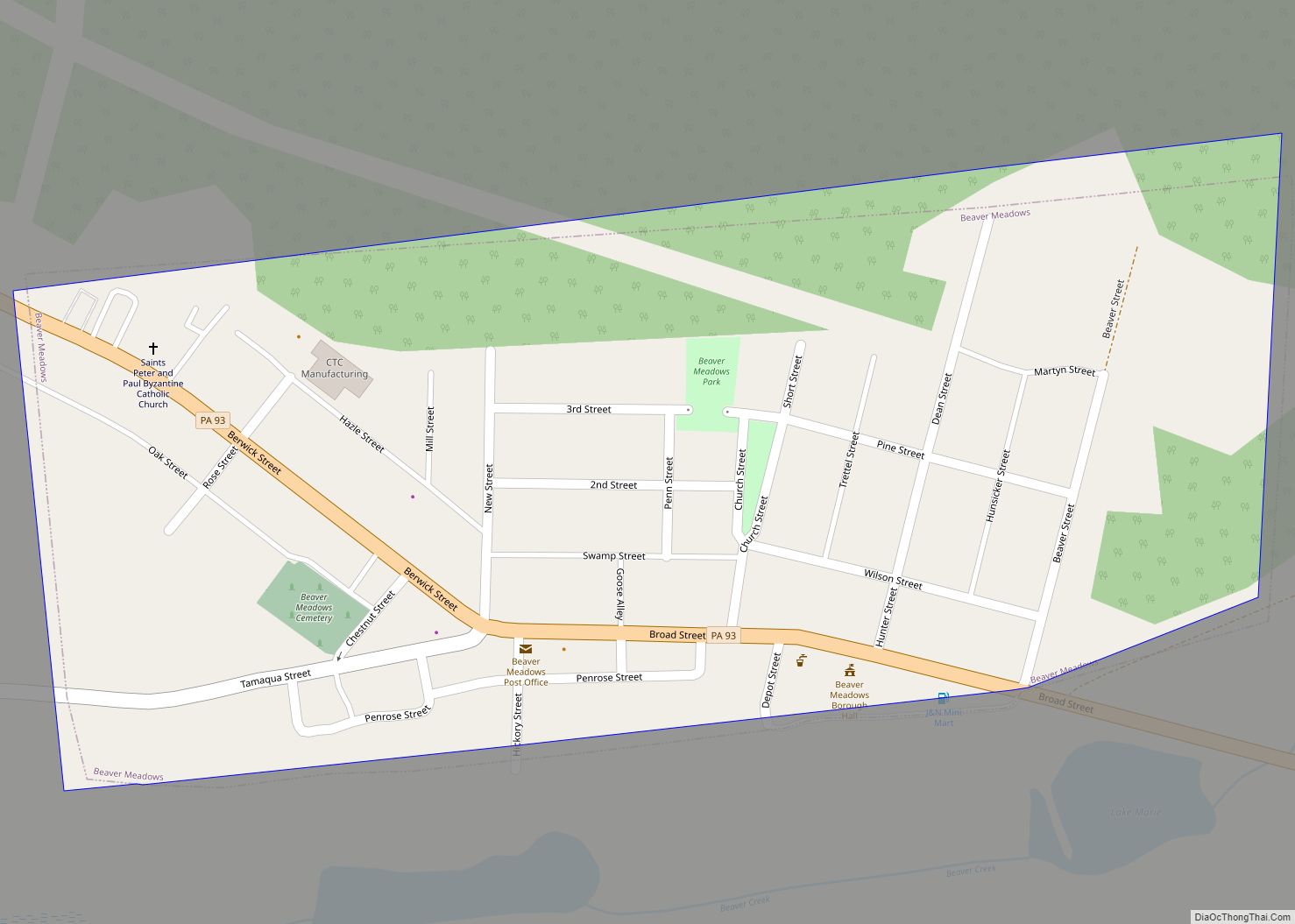
Beaver Meadows is a borough in Carbon County, Pennsylvania, United States. It is part of Northeastern Pennsylvania. The population was 897 at the 2020 U.S. census. Beaver Meadows borough overview: Name: Beaver Meadows borough LSAD Code: 21 LSAD Description: borough (suffix) State: Pennsylvania County: Carbon County Elevation: 1,598 ft (487 m) Total Area: 0.26 sq mi (0.67 km²) Land Area: ... Read more
Pennsylvania Cities and Places
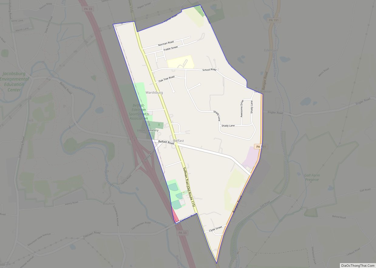
Belfast is a census-designated place (CDP) in Plainfield Township in Northampton County, Pennsylvania. It is part of the Lehigh Valley metropolitan area, which had a population of 861,899 and was the 68th-most populous metropolitan area in the U.S. as of the 2020 census. As of the 2010 census, the village’s population was 1,257. Located in ... Read more
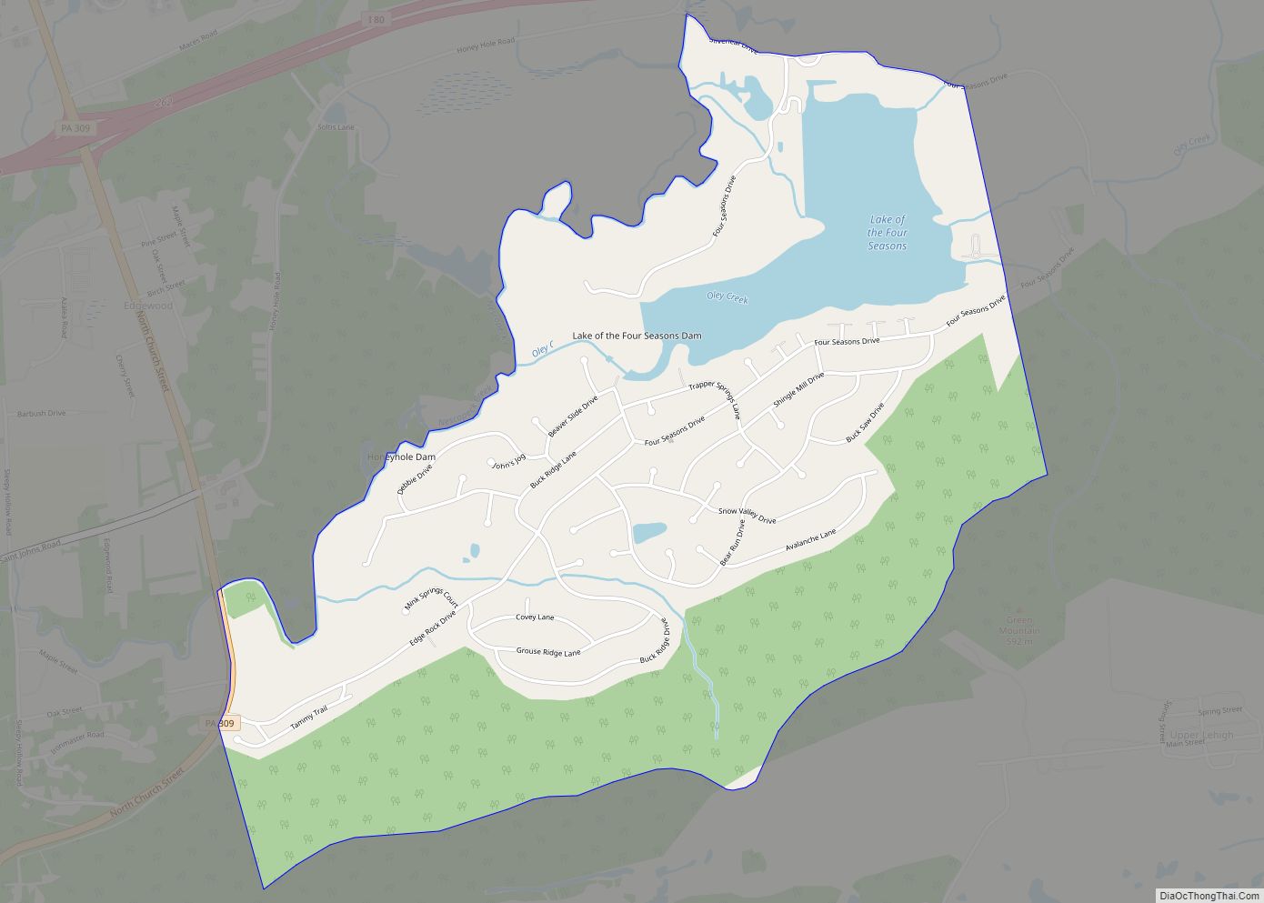
Beech Mountain Lakes is a census-designated place (CDP) in Butler Township, Luzerne County, Pennsylvania, United States. The population was 2,022 at the 2010 census. Beech Mountain Lakes CDP overview: Name: Beech Mountain Lakes CDP LSAD Code: 57 LSAD Description: CDP (suffix) State: Pennsylvania County: Luzerne County Total Area: 1.78 sq mi (4.62 km²) Land Area: 1.55 sq mi (4.02 km²) Water ... Read more
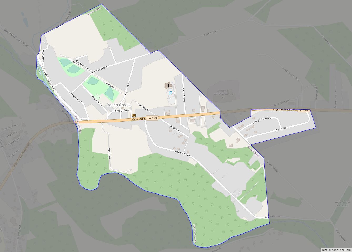
Beech Creek is a borough in Clinton County, Pennsylvania, United States. The population was 701 at the 2010 census. It is the setting for Fun Home, a 2006 graphic memoir by Alison Bechdel, who grew up there. Brittani Kline, winner of America’s Next Top Model, Cycle 16, was born there. Beech Creek borough overview: Name: ... Read more
Bedford is a borough and spa town in and the county seat of Bedford County in the U.S. state of Pennsylvania. It is located 102 miles (164 km) west of Harrisburg, the state capital, and 107 miles (172 km) east of Pittsburgh. Bedford’s population was 2,861 at the 2020 census. Bedford borough overview: Name: Bedford borough LSAD ... Read more
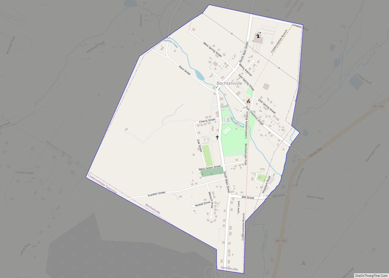
Bechtelsville is a borough in Berks County, Pennsylvania. The population was 942 at the 2010 census. Bechtelsville borough overview: Name: Bechtelsville borough LSAD Code: 21 LSAD Description: borough (suffix) State: Pennsylvania County: Berks County Elevation: 404 ft (123 m) Total Area: 0.53 sq mi (1.37 km²) Land Area: 0.53 sq mi (1.37 km²) Water Area: 0.00 sq mi (0.01 km²) Total Population: 884 Population Density: 1,674.24/sq mi ... Read more
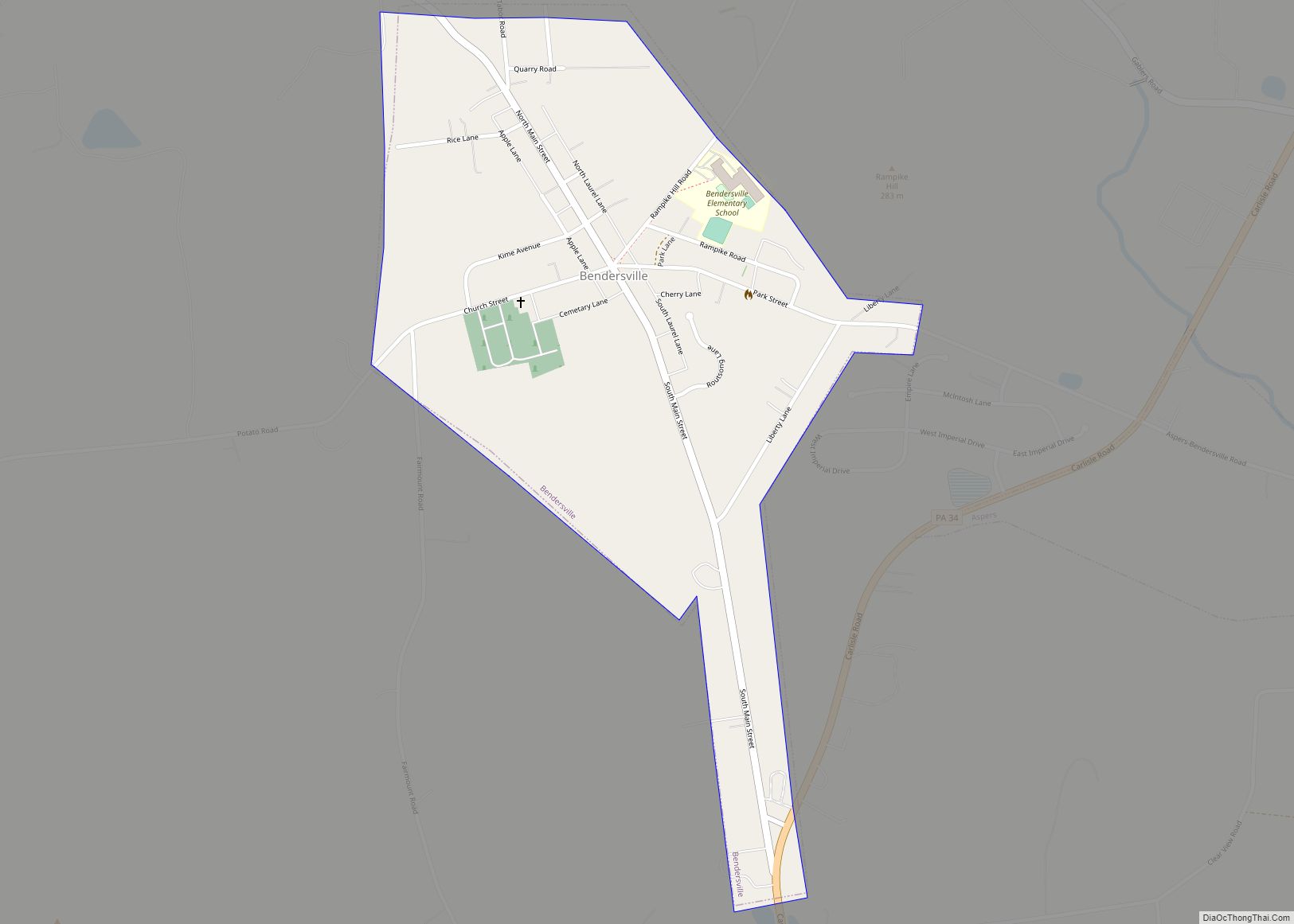
Bendersville is a borough in Adams County, Pennsylvania, United States. The population was 736 at the 2020 census. Bendersville borough overview: Name: Bendersville borough LSAD Code: 21 LSAD Description: borough (suffix) State: Pennsylvania County: Adams County Incorporated: 1866 Elevation: 705 ft (215 m) Total Area: 0.45 sq mi (1.17 km²) Land Area: 0.45 sq mi (1.17 km²) Water Area: 0.00 sq mi (0.00 km²) Total Population: ... Read more
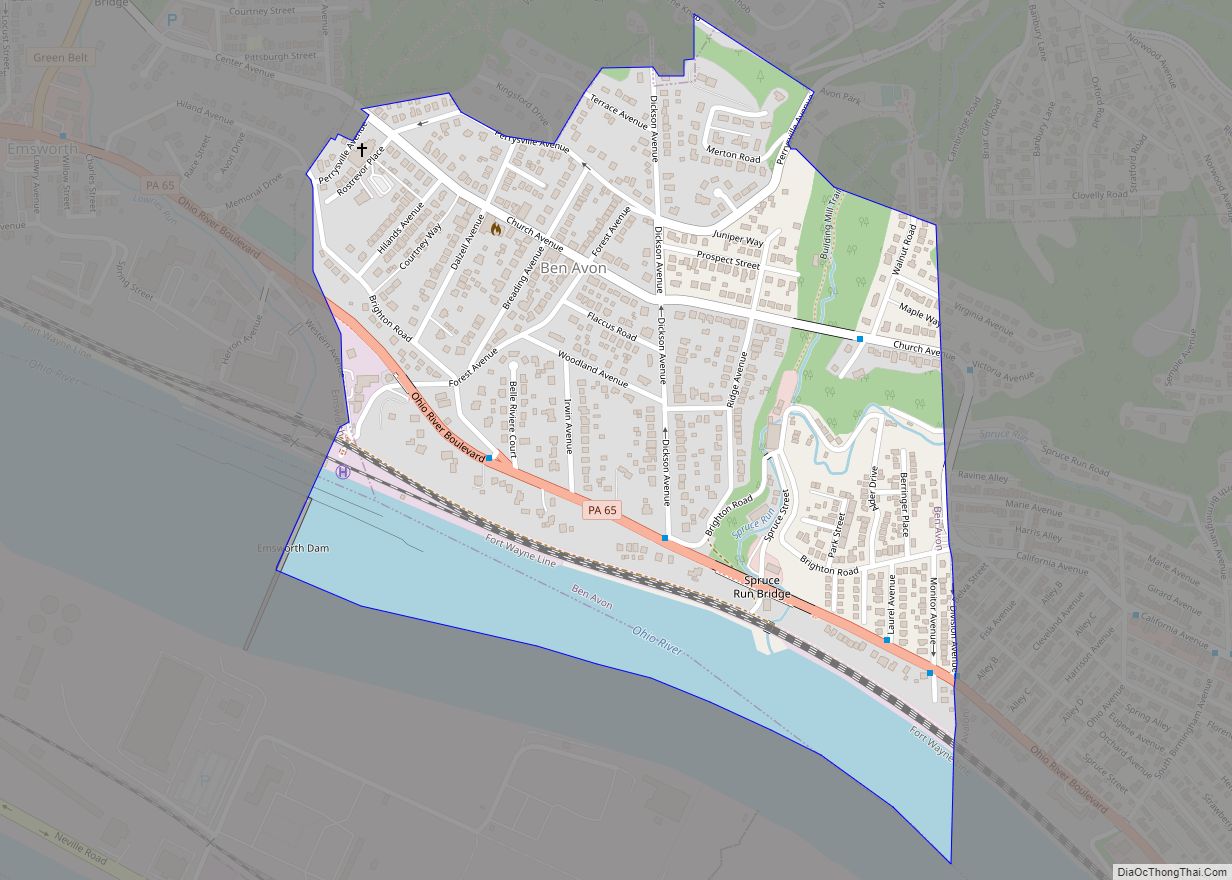
Ben Avon is a borough in Allegheny County, Pennsylvania, United States, along the Ohio River. The population was 1,918 at the 2020 census. It is part of the Pittsburgh Metropolitan Area. The name, Ben Avon, comes from Scottish for “hill of the waters”. Ben Avon borough overview: Name: Ben Avon borough LSAD Code: 21 LSAD ... Read more
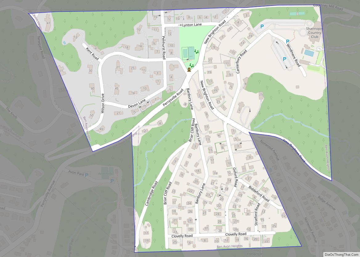
Ben Avon Heights is a borough in Allegheny County, Pennsylvania, United States, located on a hill above the Ohio River, 9 miles (14 km) from the city of Pittsburgh. The population was 400 at the 2020 census. Ben Avon Heights is part of the Pittsburgh Metropolitan Area. Ben Avon Heights borough overview: Name: Ben Avon Heights ... Read more
Belmont is an unincorporated community and census-designated place (CDP) in Cambria County, Pennsylvania, United States. The population was 2,784 at the 2010 census. Belmont CDP overview: Name: Belmont CDP LSAD Code: 57 LSAD Description: CDP (suffix) State: Pennsylvania County: Cambria County Elevation: 1,680 ft (510 m) Total Area: 1.76 sq mi (4.57 km²) Land Area: 1.75 sq mi (4.55 km²) Water Area: 0.01 sq mi ... Read more
Bellwood is a borough in Blair County, Pennsylvania, United States. It is part of the Altoona, PA Metropolitan Statistical Area. The population was at 1,829 as of the 2020 census. Bellwood borough overview: Name: Bellwood borough LSAD Code: 21 LSAD Description: borough (suffix) State: Pennsylvania County: Blair County Incorporated: 1898 Elevation: 1,070 ft (330 m) Total Area: ... Read more
Bellevue is a borough in Allegheny County, Pennsylvania, United States, along the Ohio River, adjoining Pittsburgh. The population was 8,311 at the 2020 census. The borough was incorporated in 1867. There is a public park and library, the Andrew Bayne Memorial Library. Bellevue borough overview: Name: Bellevue borough LSAD Code: 21 LSAD Description: borough (suffix) ... Read more
