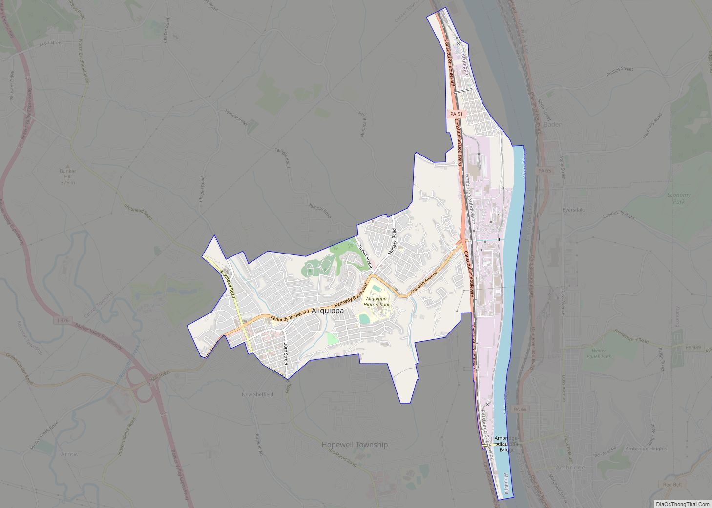
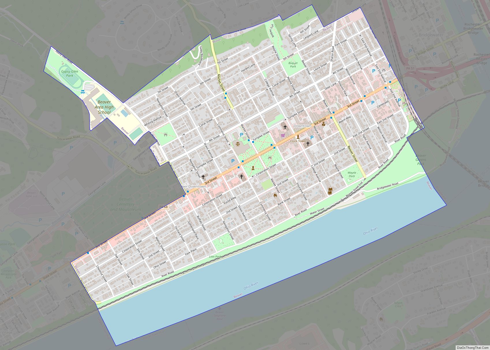
Beaver is a borough in, and the county seat of, Beaver County, Pennsylvania, United States. It is located near the confluence of the Beaver and Ohio Rivers, approximately 30 miles (48 km) northwest of Pittsburgh. As of the 2020 census, the population was 4,838.
| Name: | Beaver borough |
|---|---|
| LSAD Code: | 21 |
| LSAD Description: | borough (suffix) |
| State: | Pennsylvania |
| County: | Beaver County |
| Incorporated: | 1802 |
| Elevation: | 791 ft (241 m) |
| Total Area: | 1.12 sq mi (2.91 km²) |
| Land Area: | 0.92 sq mi (2.37 km²) |
| Water Area: | 0.21 sq mi (0.54 km²) |
| Total Population: | 4,838 |
| Population Density: | 4,845/sq mi (1,871/km²) |
| Area code: | 724 |
| FIPS code: | 4204688 |
| Website: | http://www.beaverpa.us |
Online Interactive Map
Click on ![]() to view map in "full screen" mode.
to view map in "full screen" mode.
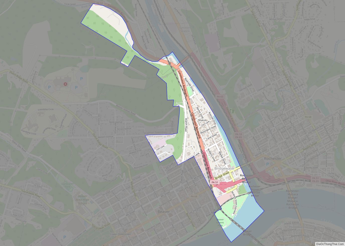
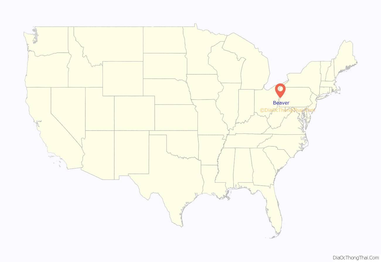
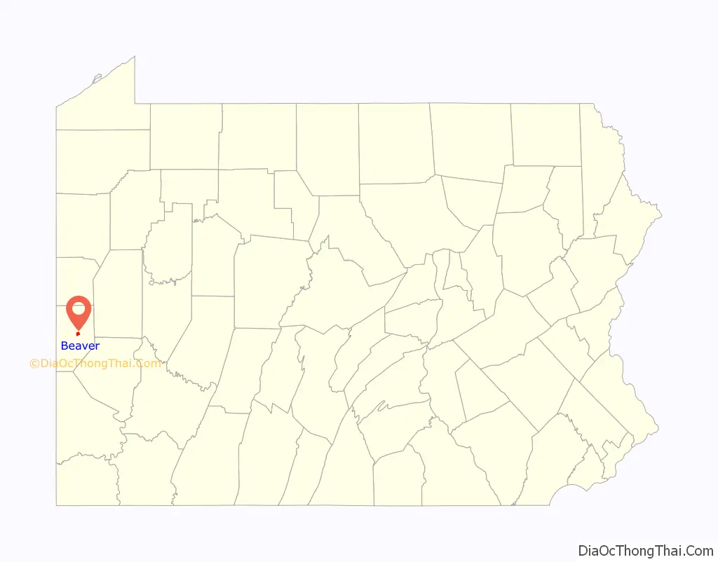
Beaver location map. Where is Beaver borough?
History
The area around Beaver was once home to Shawnee Indians, who were later displaced by groups such as the Mingoes and the Lenape. It was part of the Ohio Country that was in dispute during the French and Indian War.
Beaver became the site of Fort McIntosh, a Revolutionary War era Patriot frontier fort. After the war, the fort was the home of the First American Regiment, the oldest active unit in the US Army. The fort was abandoned in 1788 and razed a short time later. By then, the frontier had moved westward and there was no further need for a permanent garrison to protect the area.
The community was laid out in 1792. In 1800, it became the county seat of the newly formed Beaver County. The first county court was established in Beaver in 1804. Growth was steady until 1879 when the arrival of the Pittsburgh and Lake Erie Railroad caused a major growth spurt. In February 1884 a massive flood caused extensive damage. In 1974, an archeological excavation was conducted at the site of Fort McIntosh. The borough became a Tree City USA community in 1997.
Robert Linn was the mayor of Beaver for 58 years, from 1946 to 2004, making him one of the longest-serving mayors in the United States. In late 2007, local officials proposed the consolidation of Beaver with Brighton Township, although nothing came of the initiative.
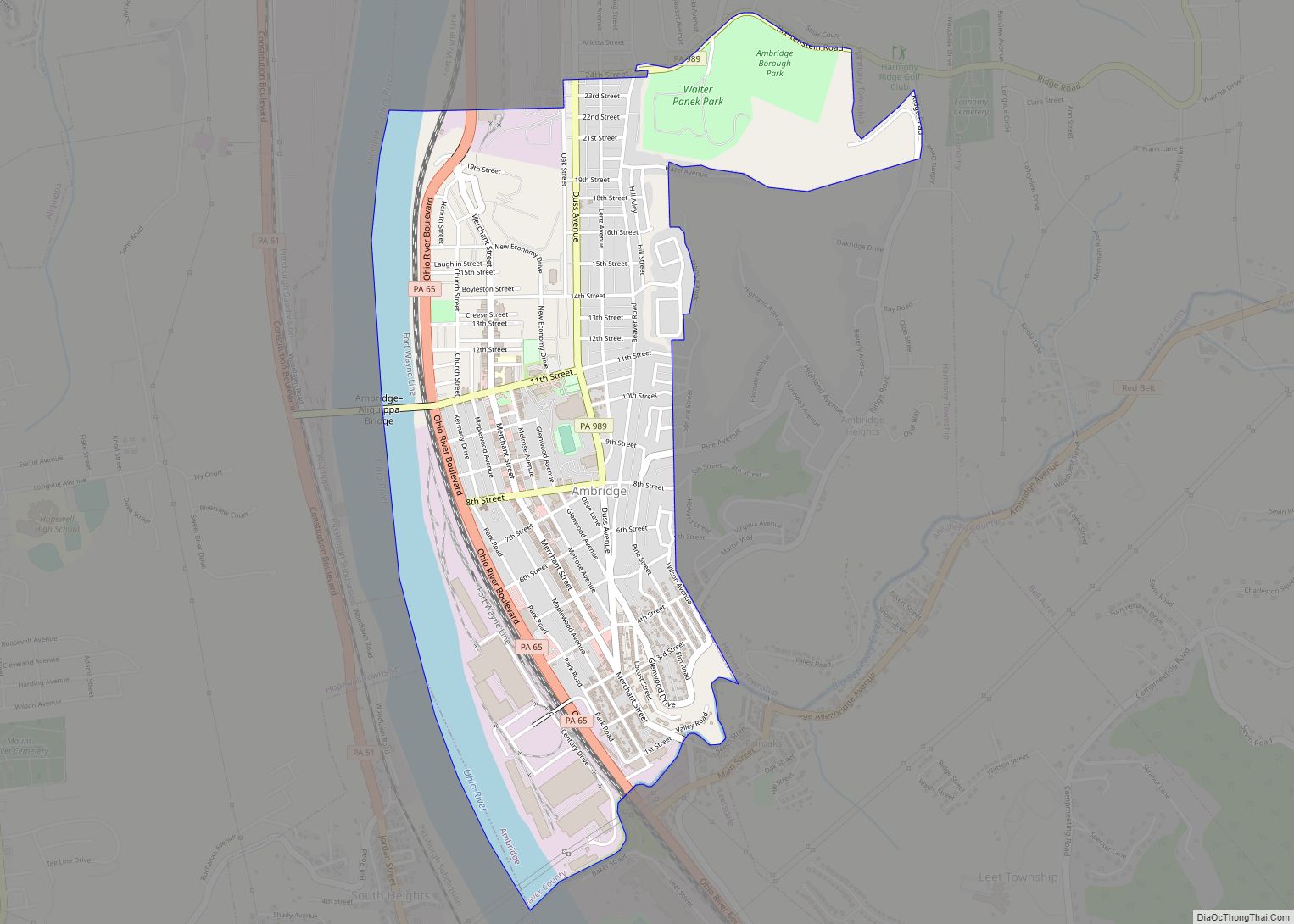
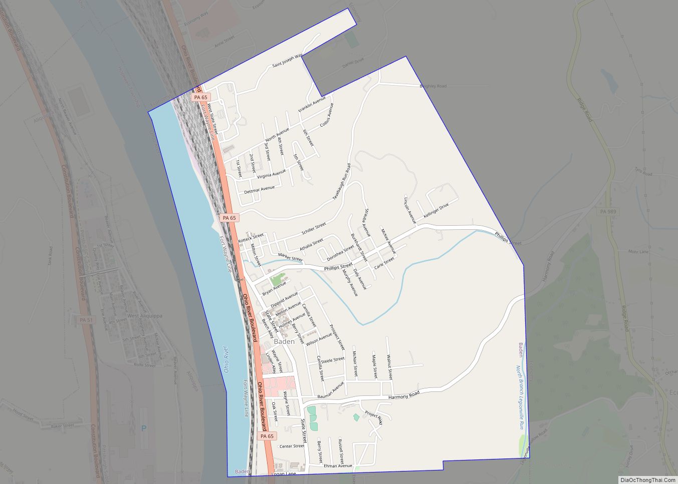
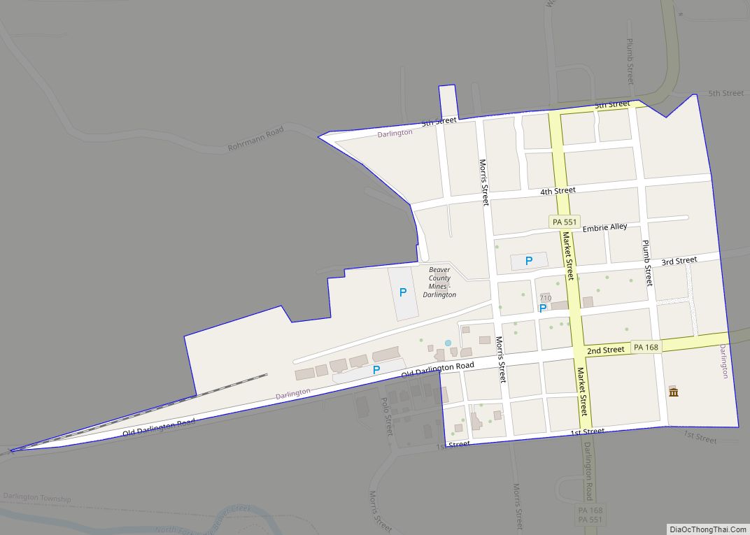
Beaver Road Map
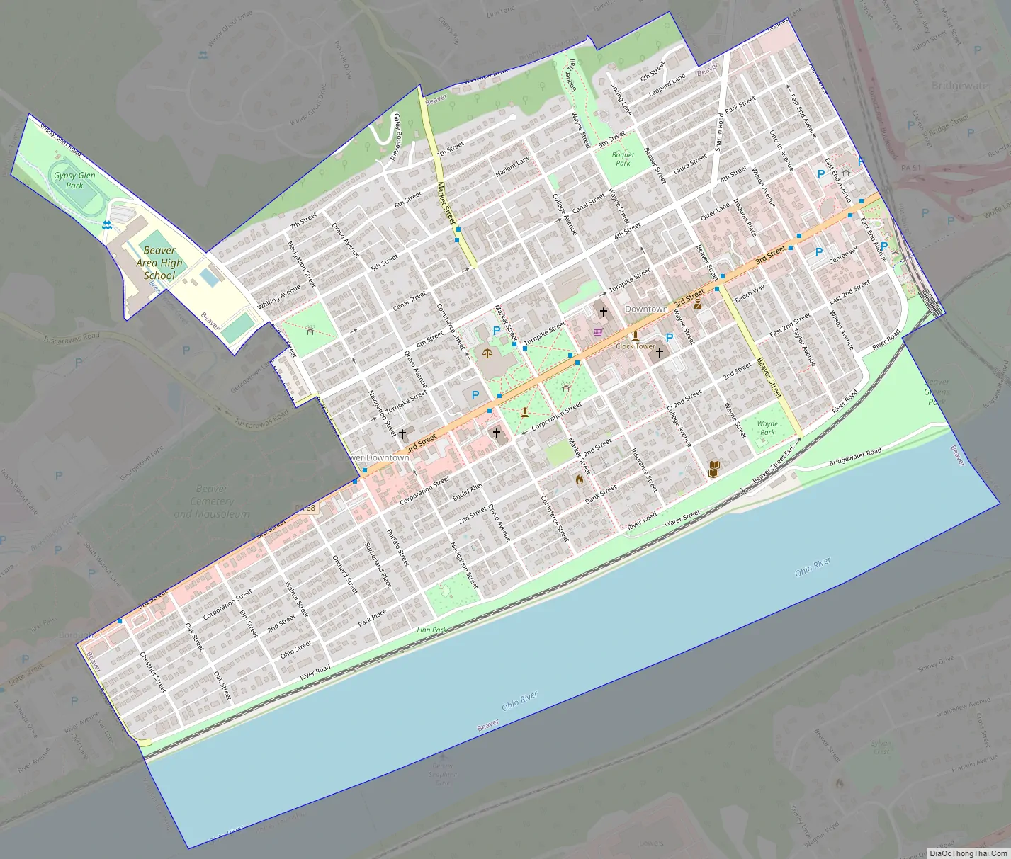
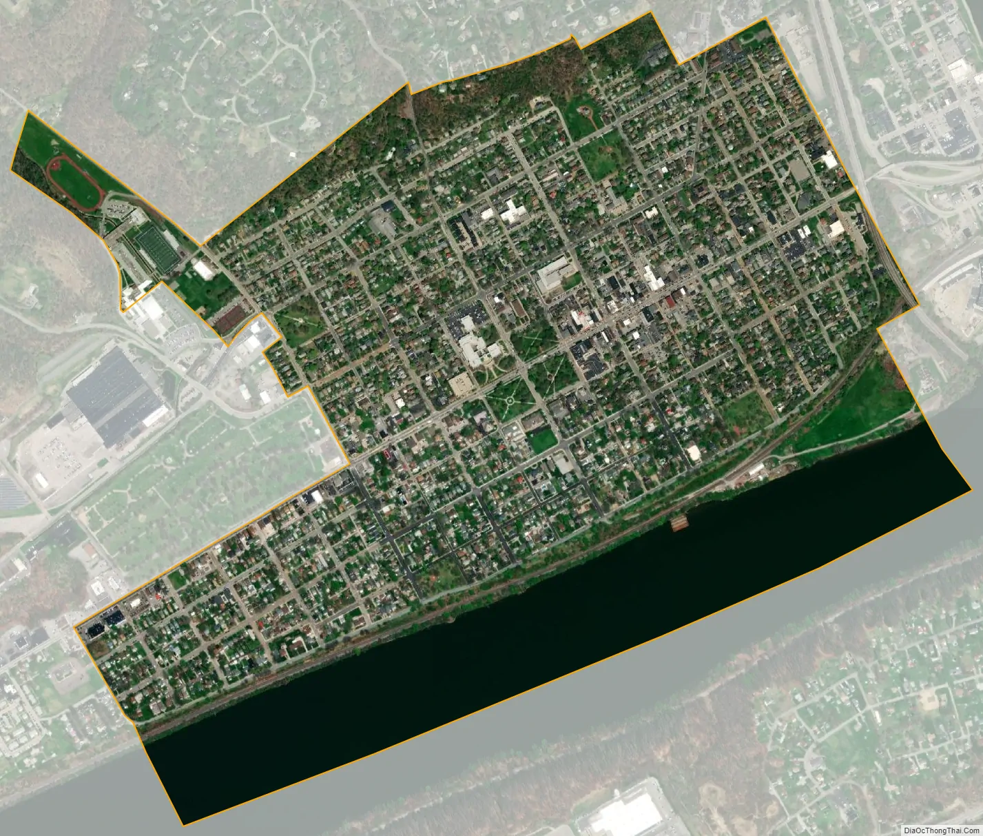
Beaver city Satellite Map
Geography
Beaver is located at 40°41′38″N 80°18′29″W / 40.69389°N 80.30806°W / 40.69389; -80.30806 (40.693865, -80.307944). According to the U.S. Census Bureau, the borough has a total area of 1.1 square miles (2.8 km), of which 0.9 square miles (2.3 km) is land and 0.2 square miles (0.5 km) (13.89%) is water.
Surrounding and adjacent neighborhoods
Beaver borders three municipalities, with Brighton Township to the north, Bridgewater to the east, and Vanport Township to the west. Across the Ohio River to the south, Beaver runs adjacent with Monaca to the southeast, Center Township to the south, and Potter Township to the southwest.
See also
Map of Pennsylvania State and its subdivision:- Adams
- Allegheny
- Armstrong
- Beaver
- Bedford
- Berks
- Blair
- Bradford
- Bucks
- Butler
- Cambria
- Cameron
- Carbon
- Centre
- Chester
- Clarion
- Clearfield
- Clinton
- Columbia
- Crawford
- Cumberland
- Dauphin
- Delaware
- Elk
- Erie
- Fayette
- Forest
- Franklin
- Fulton
- Greene
- Huntingdon
- Indiana
- Jefferson
- Juniata
- Lackawanna
- Lancaster
- Lawrence
- Lebanon
- Lehigh
- Luzerne
- Lycoming
- Mc Kean
- Mercer
- Mifflin
- Monroe
- Montgomery
- Montour
- Northampton
- Northumberland
- Perry
- Philadelphia
- Pike
- Potter
- Schuylkill
- Snyder
- Somerset
- Sullivan
- Susquehanna
- Tioga
- Union
- Venango
- Warren
- Washington
- Wayne
- Westmoreland
- Wyoming
- York
- Alabama
- Alaska
- Arizona
- Arkansas
- California
- Colorado
- Connecticut
- Delaware
- District of Columbia
- Florida
- Georgia
- Hawaii
- Idaho
- Illinois
- Indiana
- Iowa
- Kansas
- Kentucky
- Louisiana
- Maine
- Maryland
- Massachusetts
- Michigan
- Minnesota
- Mississippi
- Missouri
- Montana
- Nebraska
- Nevada
- New Hampshire
- New Jersey
- New Mexico
- New York
- North Carolina
- North Dakota
- Ohio
- Oklahoma
- Oregon
- Pennsylvania
- Rhode Island
- South Carolina
- South Dakota
- Tennessee
- Texas
- Utah
- Vermont
- Virginia
- Washington
- West Virginia
- Wisconsin
- Wyoming