Bellefonte is a borough in, and the county seat of, Centre County, Pennsylvania, United States. It is approximately twelve miles northeast of State College and is part of the State College, Pennsylvania Metropolitan Statistical Area. The borough population was 6,187 at the 2010 census. It houses the Centre County Courthouse, located downtown on the diamond. Bellefonte has also been home to five of Pennsylvania’s governors, as well as two other governors. All seven are commemorated in a monument located at Talleyrand Park.
The town features many examples of Victorian architecture. It is also home to the natural spring from which the town derives its name (“la belle fonte”, bestowed by Charles Maurice de Talleyrand-Périgord during a land-speculation visit to central Pennsylvania in the 1790s). However, the spring, which serves as the town’s water supply, has been covered to comply with DEP water purity laws. The early development of Bellefonte had been as a “natural town.” It started with one house and a crossroad, then iron was found and the town grew.
| Name: | Bellefonte borough |
|---|---|
| LSAD Code: | 21 |
| LSAD Description: | borough (suffix) |
| State: | Pennsylvania |
| County: | Centre County |
| Elevation: | 919 ft (280 m) |
| Total Area: | 1.84 sq mi (4.78 km²) |
| Land Area: | 1.84 sq mi (4.78 km²) |
| Water Area: | 0.00 sq mi (0.00 km²) |
| Total Population: | 6,105 |
| Population Density: | 3,310.74/sq mi (1,278.08/km²) |
| ZIP code: | 16823 |
| Area code: | 814 |
| FIPS code: | 4205256 |
| Website: | bellefonte.net |
Online Interactive Map
Click on ![]() to view map in "full screen" mode.
to view map in "full screen" mode.
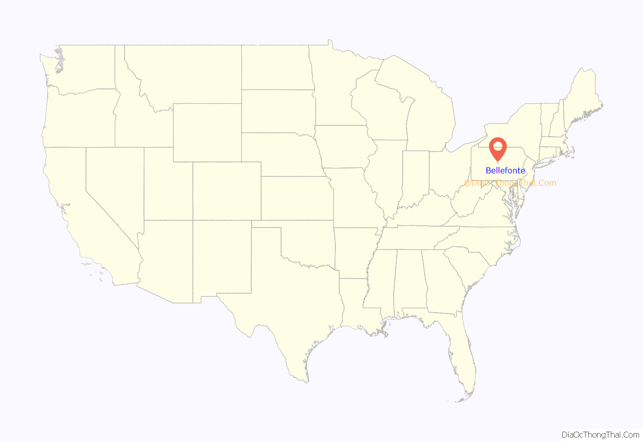
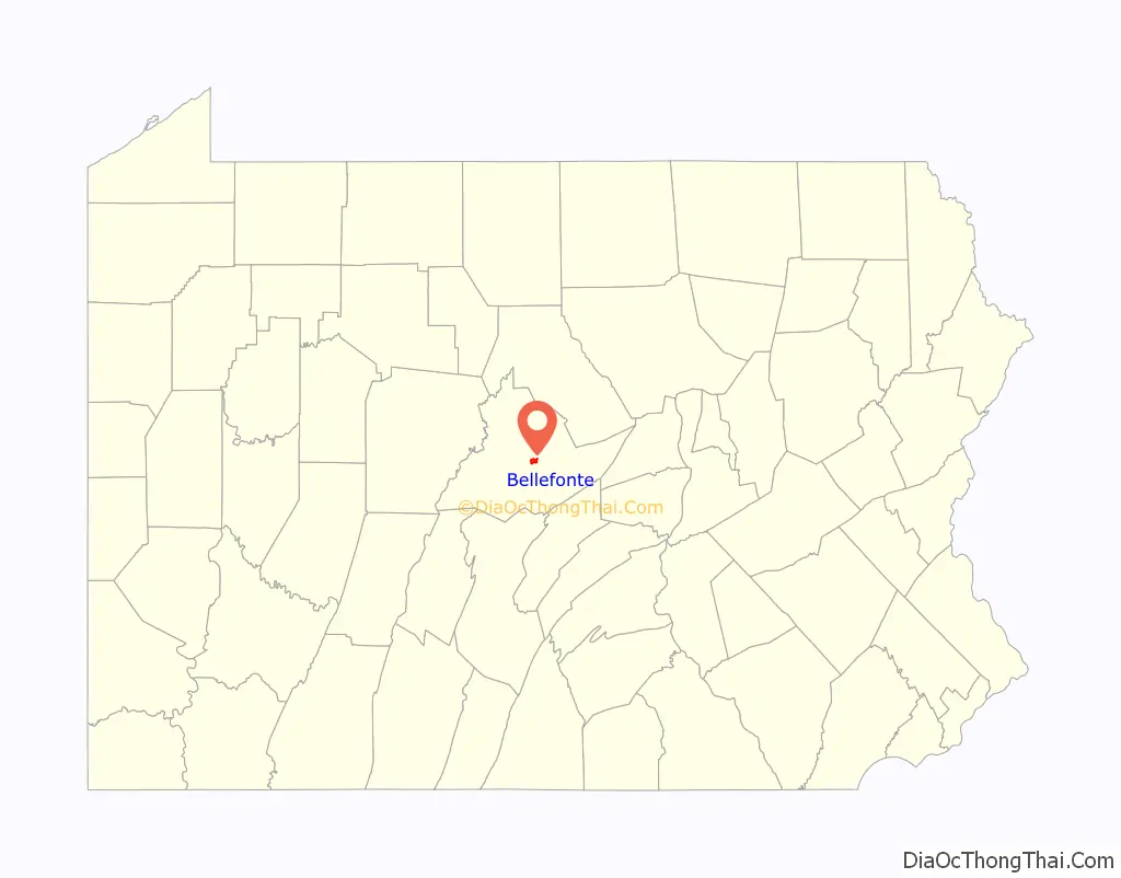
Bellefonte location map. Where is Bellefonte borough?
History
William Lamb sold his mill to John Dunlop in 1794. The following year, John’s father James Dunlop and John’s son-in-law James Harris (1756-1841) laid out the town that would become known as Bellefonte.
As the years went by, Bellefonte boomed and soon became the most influential town between Pittsburgh and Harrisburg.
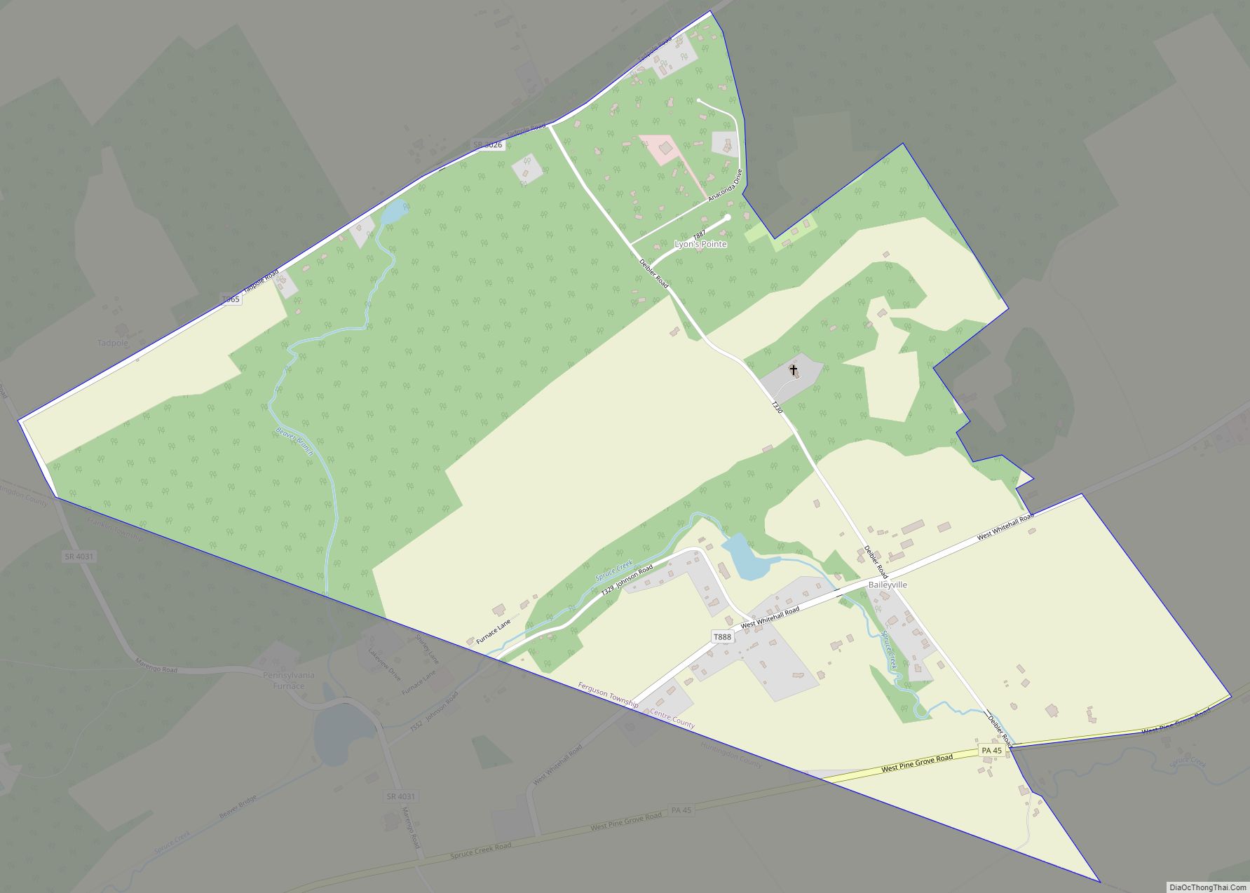
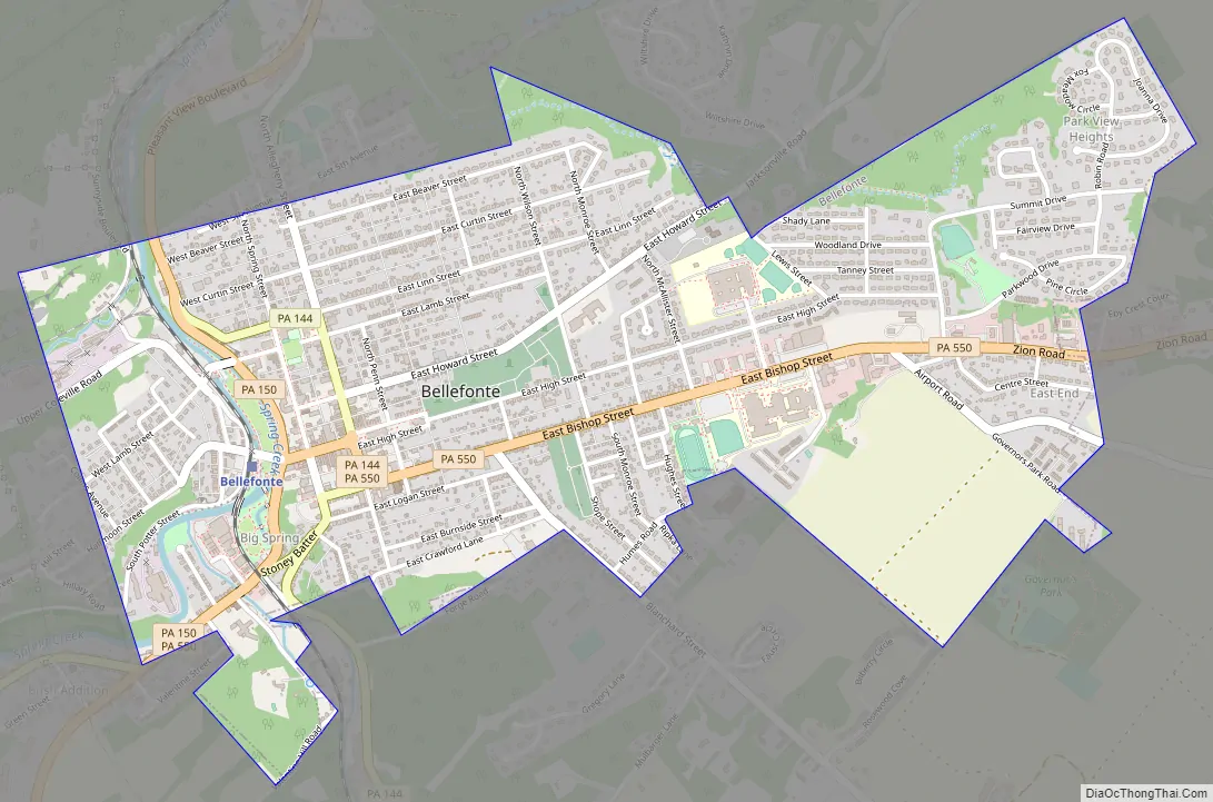
Bellefonte Road Map
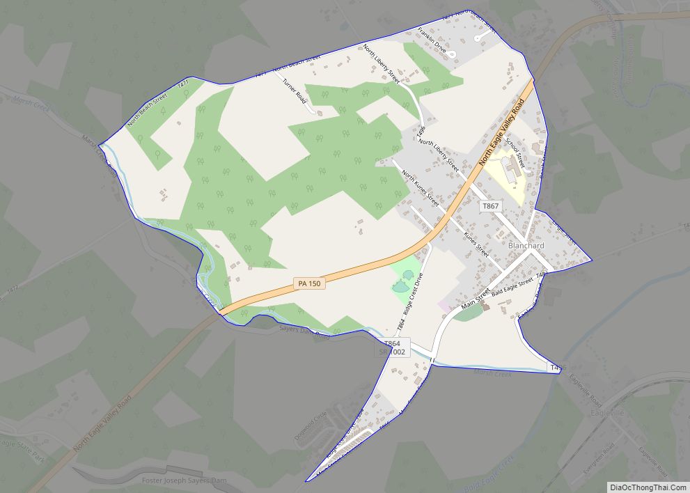
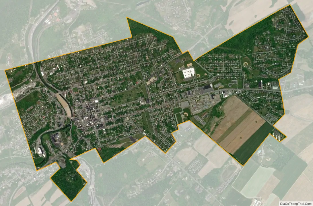
Bellefonte city Satellite Map
Geography
Bellefonte is located in the Nittany Valley of the Ridge and Valley Appalachians. It lies 12 miles northeast of State College. According to the U.S. Census Bureau, the borough has a total area of 1.8 square miles (4.7 km), all land. Bellefonte is in the northwestern corner of and is surrounded by Spring Township.
See also
Map of Pennsylvania State and its subdivision:- Adams
- Allegheny
- Armstrong
- Beaver
- Bedford
- Berks
- Blair
- Bradford
- Bucks
- Butler
- Cambria
- Cameron
- Carbon
- Centre
- Chester
- Clarion
- Clearfield
- Clinton
- Columbia
- Crawford
- Cumberland
- Dauphin
- Delaware
- Elk
- Erie
- Fayette
- Forest
- Franklin
- Fulton
- Greene
- Huntingdon
- Indiana
- Jefferson
- Juniata
- Lackawanna
- Lancaster
- Lawrence
- Lebanon
- Lehigh
- Luzerne
- Lycoming
- Mc Kean
- Mercer
- Mifflin
- Monroe
- Montgomery
- Montour
- Northampton
- Northumberland
- Perry
- Philadelphia
- Pike
- Potter
- Schuylkill
- Snyder
- Somerset
- Sullivan
- Susquehanna
- Tioga
- Union
- Venango
- Warren
- Washington
- Wayne
- Westmoreland
- Wyoming
- York
- Alabama
- Alaska
- Arizona
- Arkansas
- California
- Colorado
- Connecticut
- Delaware
- District of Columbia
- Florida
- Georgia
- Hawaii
- Idaho
- Illinois
- Indiana
- Iowa
- Kansas
- Kentucky
- Louisiana
- Maine
- Maryland
- Massachusetts
- Michigan
- Minnesota
- Mississippi
- Missouri
- Montana
- Nebraska
- Nevada
- New Hampshire
- New Jersey
- New Mexico
- New York
- North Carolina
- North Dakota
- Ohio
- Oklahoma
- Oregon
- Pennsylvania
- Rhode Island
- South Carolina
- South Dakota
- Tennessee
- Texas
- Utah
- Vermont
- Virginia
- Washington
- West Virginia
- Wisconsin
- Wyoming