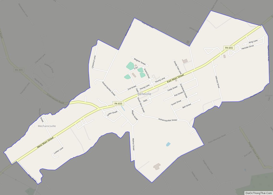
Belleville is a census-designated place (CDP) in the Kishacoquillas Valley of Mifflin County, Pennsylvania, United States. The population was 1,827 at the 2010 census. Much of the population is Amish or Mennonite.
| Name: | Belleville CDP |
|---|---|
| LSAD Code: | 57 |
| LSAD Description: | CDP (suffix) |
| State: | Pennsylvania |
| County: | Mifflin County |
| Total Area: | 2.00 sq mi (5.17 km²) |
| Land Area: | 2.00 sq mi (5.17 km²) |
| Water Area: | 0.00 sq mi (0.00 km²) |
| Total Population: | 1,947 |
| Population Density: | 975.45/sq mi (376.67/km²) |
| ZIP code: | 17004 |
| Area code: | 717 |
| FIPS code: | 4205304 |
| GNISfeature ID: | 42-05304 |
Online Interactive Map
Click on ![]() to view map in "full screen" mode.
to view map in "full screen" mode.
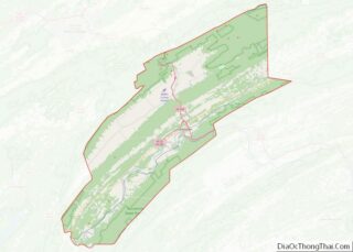
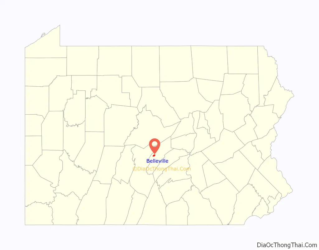
Belleville location map. Where is Belleville CDP?

History
Amish settled in the area by 1791. Mennonites arrived soon after and the two groups dominate the area’s population. Though some Amish churches in the area allow members to drive motorized vehicles, most local Amish drive horse-powered buggies. The color of the buggy tops, yellow, white, or black, indicate the owner’s church membership.
The auction in Belleville is a popular destination every Wednesday. Locally grown produce, homemade baked goods, and farm-raised animals are available. A flea market is held at the same time.
Children attend schools in the Mifflin County School District.
Post Office, ZIP code 17004
Belleville is the place where World champion Horseshoe pitcher Darle Esh was born. He was classed in the top 3% in the world.
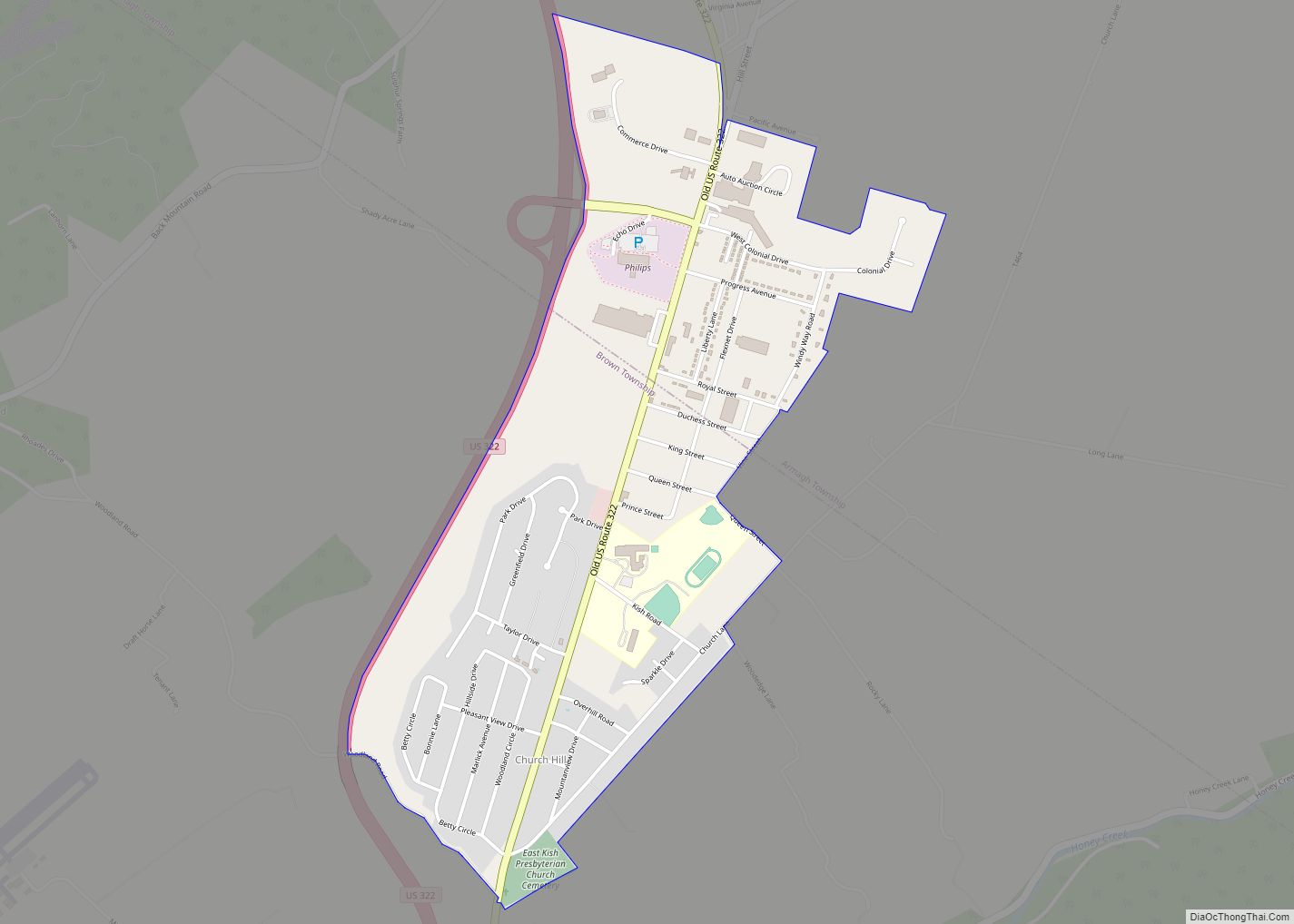
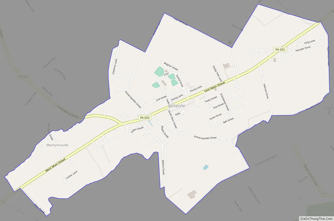
Belleville Road Map
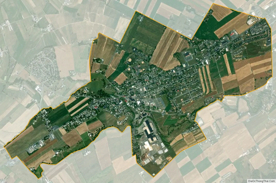
Belleville city Satellite Map
Geography
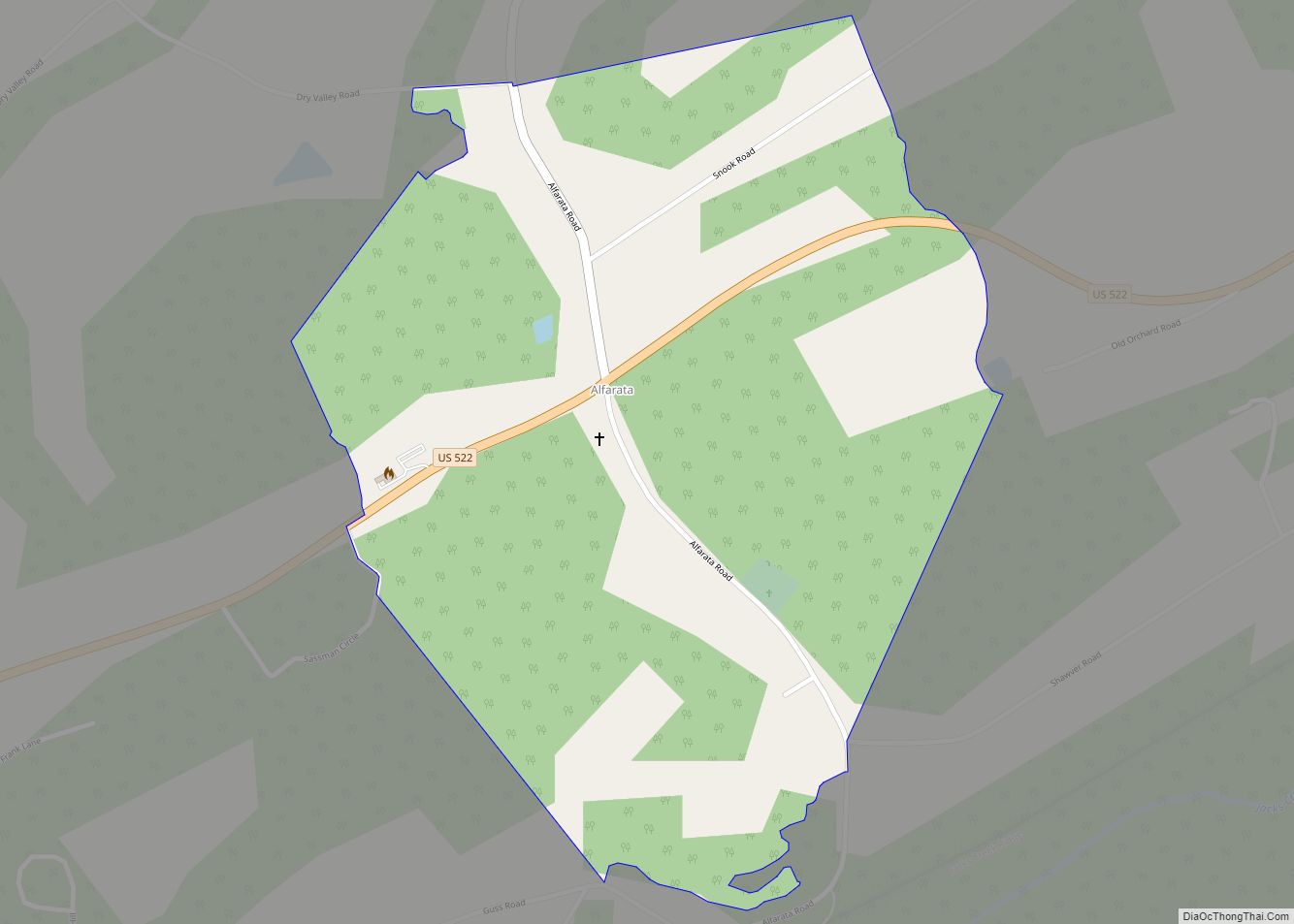
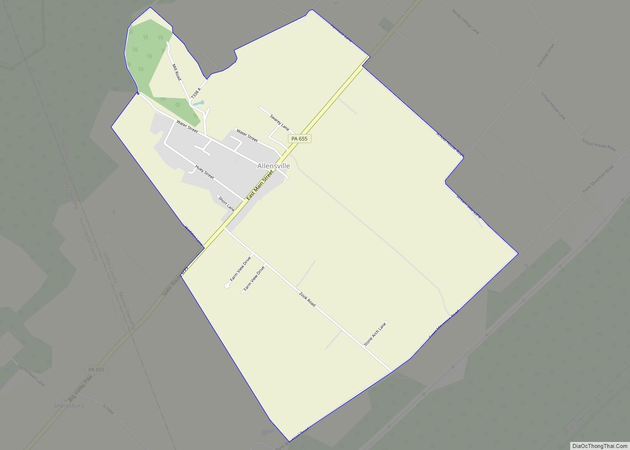
Belleville is located at 40°36′12″N 77°43′29″W / 40.60333°N 77.72472°W / 40.60333; -77.72472 (40.603376, -77.724822). Pennsylvania Route 655 is known as Main Street within the village, with residences and a few businesses spread out within about two blocks of Main Street.
According to the United States Census Bureau, the CDP has a total area of 2.1 square miles (5.4 km), all land.
See also
Map of Pennsylvania State and its subdivision:- Adams
- Allegheny
- Armstrong
- Beaver
- Bedford
- Berks
- Blair
- Bradford
- Bucks
- Butler
- Cambria
- Cameron
- Carbon
- Centre
- Chester
- Clarion
- Clearfield
- Clinton
- Columbia
- Crawford
- Cumberland
- Dauphin
- Delaware
- Elk
- Erie
- Fayette
- Forest
- Franklin
- Fulton
- Greene
- Huntingdon
- Indiana
- Jefferson
- Juniata
- Lackawanna
- Lancaster
- Lawrence
- Lebanon
- Lehigh
- Luzerne
- Lycoming
- Mc Kean
- Mercer
- Mifflin
- Monroe
- Montgomery
- Montour
- Northampton
- Northumberland
- Perry
- Philadelphia
- Pike
- Potter
- Schuylkill
- Snyder
- Somerset
- Sullivan
- Susquehanna
- Tioga
- Union
- Venango
- Warren
- Washington
- Wayne
- Westmoreland
- Wyoming
- York
- Alabama
- Alaska
- Arizona
- Arkansas
- California
- Colorado
- Connecticut
- Delaware
- District of Columbia
- Florida
- Georgia
- Hawaii
- Idaho
- Illinois
- Indiana
- Iowa
- Kansas
- Kentucky
- Louisiana
- Maine
- Maryland
- Massachusetts
- Michigan
- Minnesota
- Mississippi
- Missouri
- Montana
- Nebraska
- Nevada
- New Hampshire
- New Jersey
- New Mexico
- New York
- North Carolina
- North Dakota
- Ohio
- Oklahoma
- Oregon
- Pennsylvania
- Rhode Island
- South Carolina
- South Dakota
- Tennessee
- Texas
- Utah
- Vermont
- Virginia
- Washington
- West Virginia
- Wisconsin
- Wyoming