Map of Moncks Corner town
Moncks Corner is a town in and the county seat of Berkeley County, South Carolina, United States. The population was 7,885 at the 2010 census. As defined by the U.S. Census Bureau, Moncks Corner is included within the Charleston-North Charleston-Summerville Metropolitan Statistical Area. Moncks Corner town overview: Name: Moncks Corner town LSAD Code: 43 LSAD ... Read more
Map of Moncks Corner town
Map of Monarch Mill CDP
Monarch Mill is a census-designated place (CDP) in Union County, South Carolina, United States. The population was 1,811 at the 2010 census. Monarch Mill CDP overview: Name: Monarch Mill CDP LSAD Code: 57 LSAD Description: CDP (suffix) State: South Carolina County: Union County Elevation: 482 ft (147 m) Total Area: 5.61 sq mi (14.54 km²) Land Area: 5.61 sq mi (14.54 km²) Water ... Read more
Map of Monarch Mill CDP
Map of Murrells Inlet CDP
Murrells Inlet is an unincorporated area and census-designated place in Georgetown County, South Carolina, United States. The population was 7,547 at the 2010 census. It is about 13 miles south of Myrtle Beach, South Carolina and 21 miles north of Georgetown, the county seat. The community was once primarily a fishing village. It has developed ... Read more
Map of Murrells Inlet CDP
Map of Murphys Estates CDP
Murphys Estates (also commonly known as Murphy Village) is a census-designated place (CDP) in Edgefield County, South Carolina, part of the larger Augusta metropolitan area. The population was 1,719 as of the 2020 census. The community is notable for having the largest number of Irish Travellers in the United States. Murphys Estates CDP overview: Name: ... Read more
Map of Murphys Estates CDP
Map of Mullins city
Mullins is a city in Marion County, South Carolina, United States. As of the 2010 census, the city population was 4,663. Incorporated on March 4, 1872, Mullins was named after Col. William S. Mullins, who served as a representative for Marion County in the South Carolina State Legislature from 1852 to 1866. Mullins city overview: ... Read more
Map of Mullins city
Map of Mulberry CDP, South Carolina
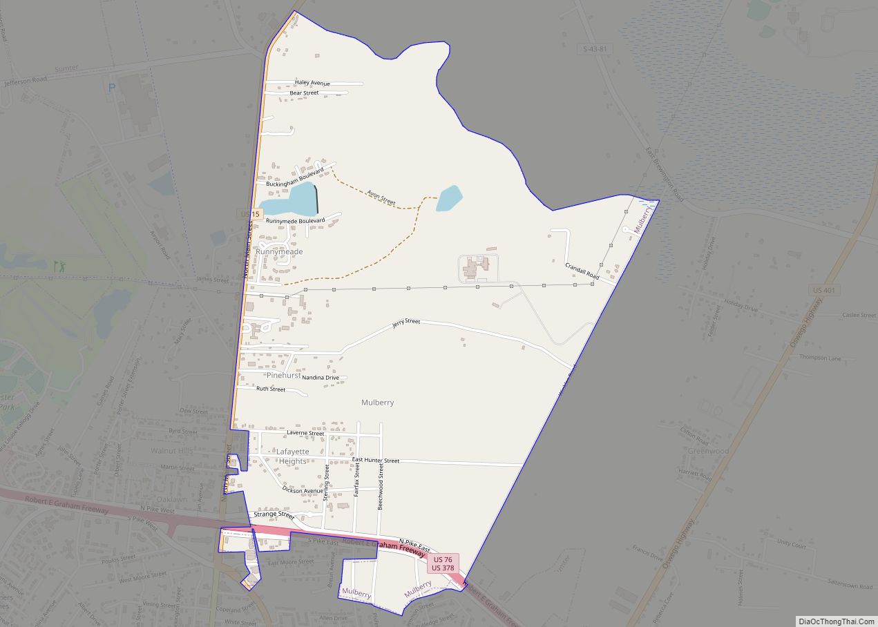
Mulberry is a census-designated place (CDP) in Sumter County, South Carolina, United States. The population was 841 at the 2000 census. It is included in the Sumter, South Carolina Metropolitan Statistical Area. Mulberry CDP overview: Name: Mulberry CDP LSAD Code: 57 LSAD Description: CDP (suffix) State: South Carolina County: Sumter County Elevation: 148 ft (45 m) Total ... Read more
Map of Mulberry CDP, South Carolina
Map of Mountville CDP, South Carolina
Mountville is an unincorporated community and census-designated place (CDP) in Laurens County, South Carolina, United States. The population was 108 at the 2010 census, down from 130 at the 2000 census. It is part of the Greenville–Mauldin–Easley Metropolitan Statistical Area. Mountville CDP overview: Name: Mountville CDP LSAD Code: 57 LSAD Description: CDP (suffix) State: South ... Read more
Map of Mountville CDP, South Carolina
Map of North Augusta city
North Augusta is a city in Aiken and Edgefield counties in the U.S. state of South Carolina, on the north bank of the Savannah River. It lies directly across the river, and state border, from Augusta, Georgia. The population was 24,379 at the 2020 census. The city is included in the Central Savannah River Area ... Read more
Map of North Augusta city
Map of Norris town, South Carolina
Norris is a town in Pickens County, South Carolina, United States. The population was 813 at the 2010 census. It is part of the Greenville–Mauldin–Easley Metropolitan Statistical Area. Norris town overview: Name: Norris town LSAD Code: 43 LSAD Description: town (suffix) State: South Carolina County: Pickens County Elevation: 997 ft (304 m) Total Area: 1.88 sq mi (4.88 km²) Land ... Read more
Map of Norris town, South Carolina
Map of Ninety Six town
Ninety Six is a town in Greenwood County, South Carolina, United States. The population was 1,998 at the 2010 census. Ninety Six town overview: Name: Ninety Six town LSAD Code: 43 LSAD Description: town (suffix) State: South Carolina County: Greenwood County Elevation: 548 ft (167 m) Total Area: 1.82 sq mi (4.72 km²) Land Area: 1.82 sq mi (4.72 km²) Water Area: 0.00 sq mi ... Read more
Map of Ninety Six town
Map of Nichols town, South Carolina
Nichols is a town in Marion County, South Carolina, United States. The population was 368 at the 2010 census. Nichols town overview: Name: Nichols town LSAD Code: 43 LSAD Description: town (suffix) State: South Carolina County: Marion County Elevation: 56 ft (17 m) Total Area: 1.34 sq mi (3.46 km²) Land Area: 1.34 sq mi (3.46 km²) Water Area: 0.00 sq mi (0.00 km²) Total Population: ... Read more
Map of Nichols town, South Carolina
Map of Newry CDP, South Carolina
Newry is a census-designated place in Oconee County, South Carolina, United States. According to the 2010 United States Census, the population of the CDP was 172. Newry CDP overview: Name: Newry CDP LSAD Code: 57 LSAD Description: CDP (suffix) State: South Carolina County: Oconee County Elevation: 827 ft (252 m) Total Area: 0.29 sq mi (0.77 km²) Land Area: 0.29 sq mi ... Read more
Map of Newry CDP, South Carolina