Ninety Six is a town in Greenwood County, South Carolina, United States. The population was 1,998 at the 2010 census.
| Name: | Ninety Six town |
|---|---|
| LSAD Code: | 43 |
| LSAD Description: | town (suffix) |
| State: | South Carolina |
| County: | Greenwood County |
| Elevation: | 548 ft (167 m) |
| Total Area: | 1.82 sq mi (4.72 km²) |
| Land Area: | 1.82 sq mi (4.72 km²) |
| Water Area: | 0.00 sq mi (0.00 km²) |
| Total Population: | 2,076 |
| Population Density: | 1,139.41/sq mi (439.81/km²) |
| ZIP code: | 29666 |
| Area code: | 864 |
| FIPS code: | 4550290 |
| GNISfeature ID: | 1249874 |
| Website: | www.ninetysixsc.gov |
Online Interactive Map
Click on ![]() to view map in "full screen" mode.
to view map in "full screen" mode.
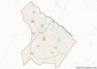
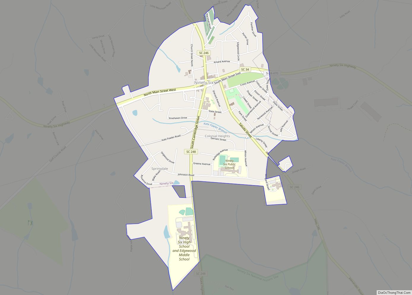
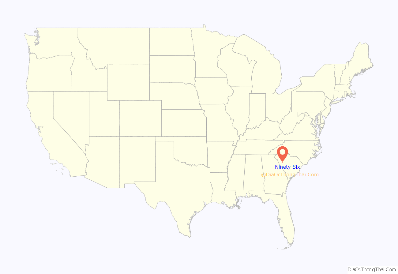
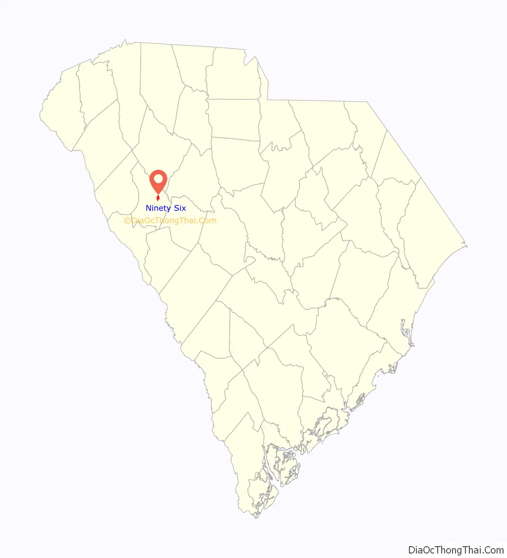
Ninety Six location map. Where is Ninety Six town?
History
Ninety Six was established on the frontier of the early 18th century, roughly around 1730. For a time it was known as “Jews Land” because some prominent Sephardic Jewish families of London bought extensive property there. The Salvador and DaCosta families bought 200,000 acres (810 km), intending to help poor Sephardic families relocate from London to the New World. They began to settle it.
The settlement became the capital city of the Ninety-Six District when the latter was established in July 1769. Since the late 20th century, the National Park Service has operated the Ninety Six National Historic Site at the site of the original settlement and British fort.
Ninety Six figured prominently in the Anglo-Cherokee War (1758–1761). During the American Revolutionary War, it was a site for southern campaigns. The first land battle of the revolution south of New England was fought here 19–21 November 1775.
On August 1, 1776, American militia forces led by Major Andrew Williamson were ambushed by Cherokee and Loyalists near here in the Battle of Twelve Mile Creek. More than 4,000 Cherokee warriors had waged war on a long front beginning in June, from modern Tennessee to central South Carolina. Francis Salvador, a Sephardic Jewish immigrant from London and a planter, was one of the casualties. He was the first Jew to be killed fighting with the Patriots in the Revolutionary War.
The Cherokee were allied with the British in an effort to expel European-American settlers from their territory. In fall 1776, Virginia, North and South Carolina, and Georgia raised rebel militias to retaliate. Rutherford’s Light Horse expedition had several units that attacked the Cherokee Lower Towns; the Middle, Valley, and Out Towns; and the Overhill Towns, dealing widespread destruction of Cherokee towns and their stores of food.
In 1780 the British fortified the strategically important frontier town with a star fort. From May 22 to June 18, 1781, Major General Nathanael Greene, with 1,000 Continental Army troops, besieged 550 American Loyalists who were defending Ninety Six. General Greene’s chief engineer at the siege was Colonel Tadeusz Kościuszko, a Polish officer who became world-renowned for his role in the Revolution; he was wounded at the siege. The Loyalists survived the siege and relocated after the war to Rawdon, Nova Scotia, Canada, with support from the Crown for resettlement.
In the nineteenth century, the Southern Railway was constructed through here and had a stop at Ninety Six. The Kinard House, Moore-Kinard House, Ninety Six National Historic Site, and Southern Railway Depot (Ninety Six, South Carolina) are listed on the National Register of Historic Places.
In 2008, Ninety Six started hosting an annual 4th of July celebration in the park. It is called the festival of stars and as of 2023 is still running in its 15th consecutive year. It has had many famous headliners at the festival including Tracy Lawrence and Aaron Tippin. The festival hosts a petting zoo, various food vendors, a multitude of booths selling items, rides, and even a helicopter ride. People in the town look forward to this annual celebration.
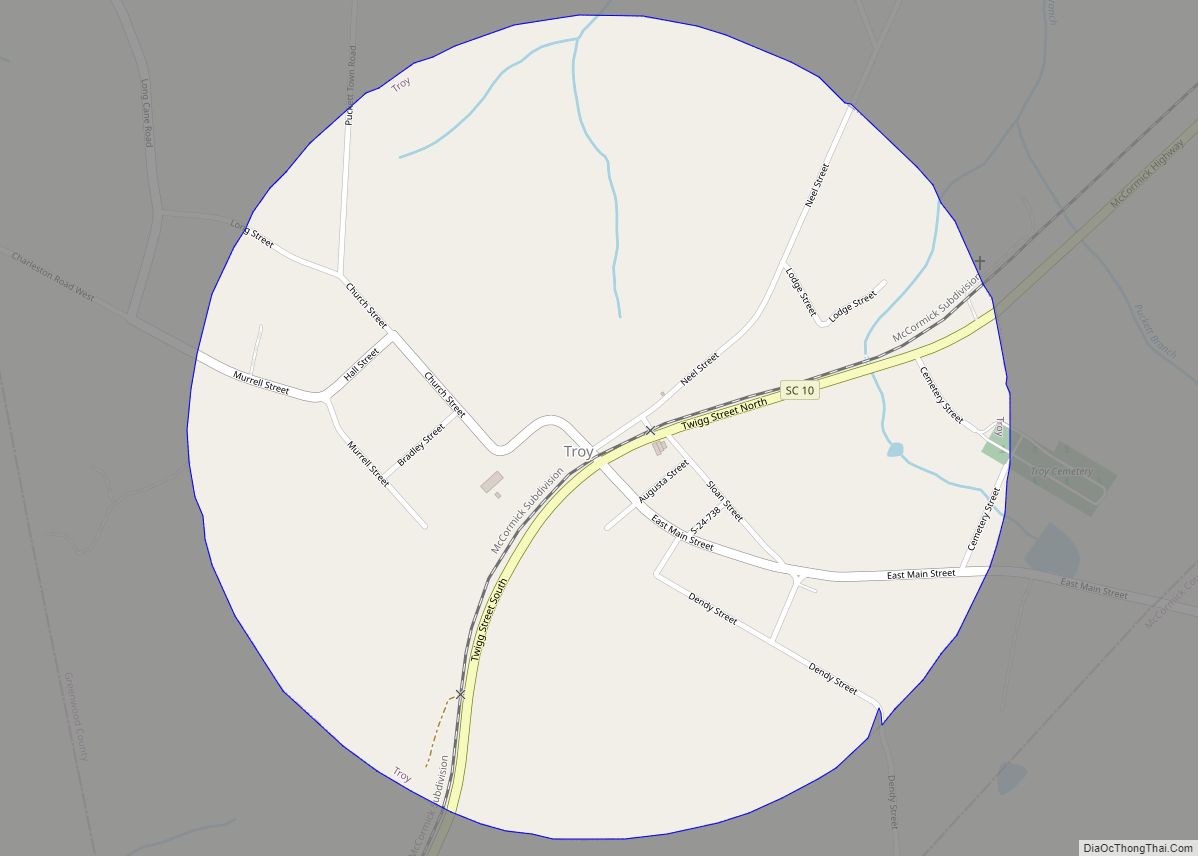
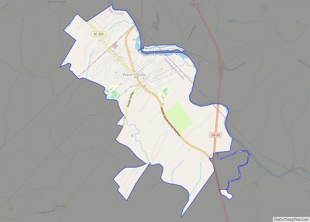
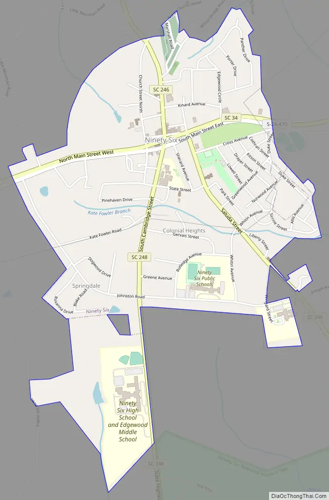
Ninety Six Road Map
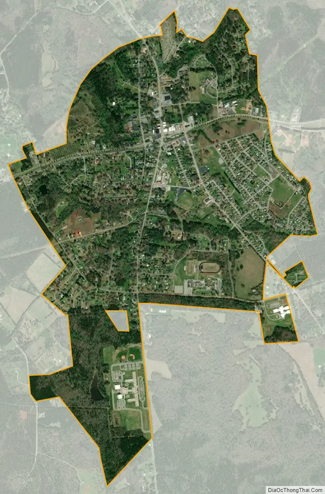
Ninety Six city Satellite Map
Geography
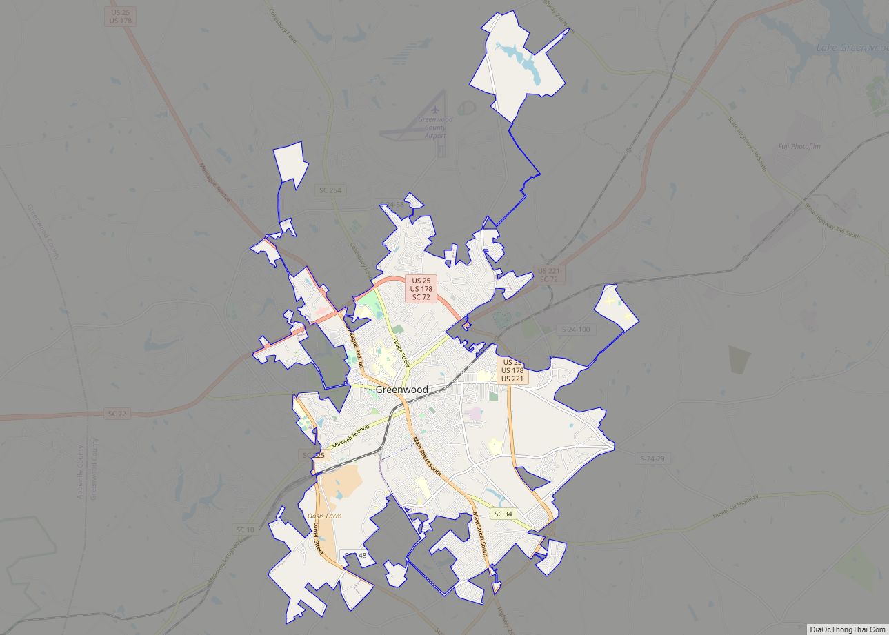
Ninety Six is located in eastern Greenwood County at 34°10′24″N 82°1′18″W / 34.17333°N 82.02167°W / 34.17333; -82.02167 (34.173211, -82.021710). South Carolina Highway 34 passes through the town as its Main Street; it leads west 9 miles (14 km) to Greenwood, the county seat, and east 27 miles (43 km) to Newberry.
Lake Greenwood State Park is 5 miles (8 km) northeast of town, and Ninety Six National Historic Site is 2 miles (3 km) south of the center of town.
According to the United States Census Bureau, Ninety Six has a total area of 1.5 square miles (3.9 km), all land.
See also
Map of South Carolina State and its subdivision:- Abbeville
- Aiken
- Allendale
- Anderson
- Bamberg
- Barnwell
- Beaufort
- Berkeley
- Calhoun
- Charleston
- Cherokee
- Chester
- Chesterfield
- Clarendon
- Colleton
- Darlington
- Dillon
- Dorchester
- Edgefield
- Fairfield
- Florence
- Georgetown
- Greenville
- Greenwood
- Hampton
- Horry
- Jasper
- Kershaw
- Lancaster
- Laurens
- Lee
- Lexington
- Marion
- Marlboro
- McCormick
- Newberry
- Oconee
- Orangeburg
- Pickens
- Richland
- Saluda
- Spartanburg
- Sumter
- Union
- Williamsburg
- York
- Alabama
- Alaska
- Arizona
- Arkansas
- California
- Colorado
- Connecticut
- Delaware
- District of Columbia
- Florida
- Georgia
- Hawaii
- Idaho
- Illinois
- Indiana
- Iowa
- Kansas
- Kentucky
- Louisiana
- Maine
- Maryland
- Massachusetts
- Michigan
- Minnesota
- Mississippi
- Missouri
- Montana
- Nebraska
- Nevada
- New Hampshire
- New Jersey
- New Mexico
- New York
- North Carolina
- North Dakota
- Ohio
- Oklahoma
- Oregon
- Pennsylvania
- Rhode Island
- South Carolina
- South Dakota
- Tennessee
- Texas
- Utah
- Vermont
- Virginia
- Washington
- West Virginia
- Wisconsin
- Wyoming