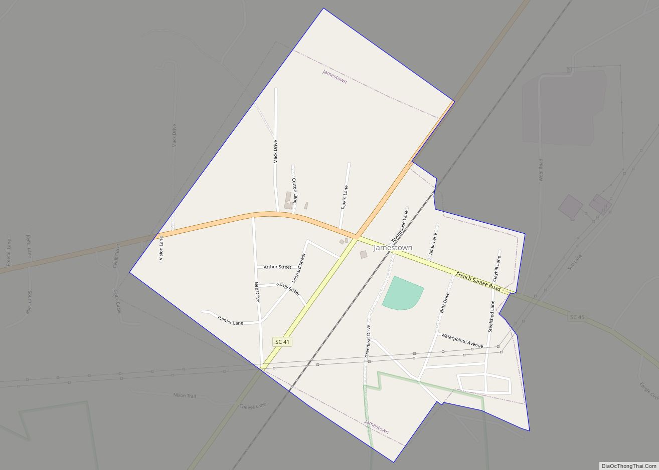
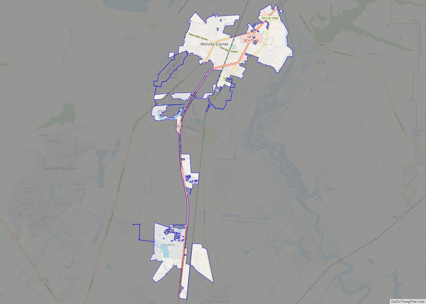
Moncks Corner is a town in and the county seat of Berkeley County, South Carolina, United States. The population was 7,885 at the 2010 census. As defined by the U.S. Census Bureau, Moncks Corner is included within the Charleston-North Charleston-Summerville Metropolitan Statistical Area.
| Name: | Moncks Corner town |
|---|---|
| LSAD Code: | 43 |
| LSAD Description: | town (suffix) |
| State: | South Carolina |
| County: | Berkeley County |
| Elevation: | 52 ft (16 m) |
| Total Area: | 11.50 sq mi (29.79 km²) |
| Land Area: | 11.37 sq mi (29.46 km²) |
| Water Area: | 0.13 sq mi (0.33 km²) |
| Total Population: | 13,297 |
| Population Density: | 1,169.17/sq mi (451.41/km²) |
| ZIP code: | 29430, 29461 |
| Area code: | 843, 854 |
| FIPS code: | 4547275 |
| GNISfeature ID: | 1246709 |
| Website: | www.monckscornersc.gov |
Online Interactive Map
Click on ![]() to view map in "full screen" mode.
to view map in "full screen" mode.
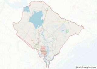
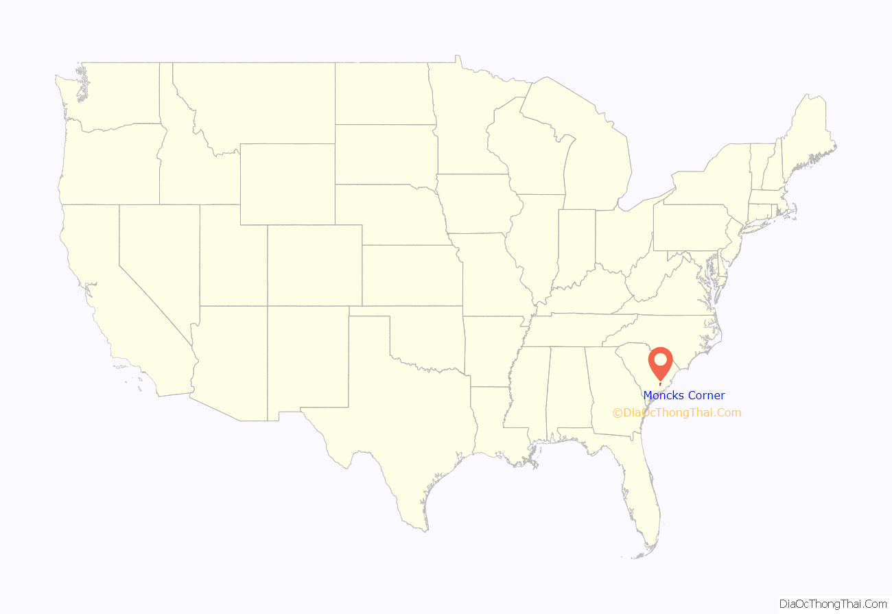
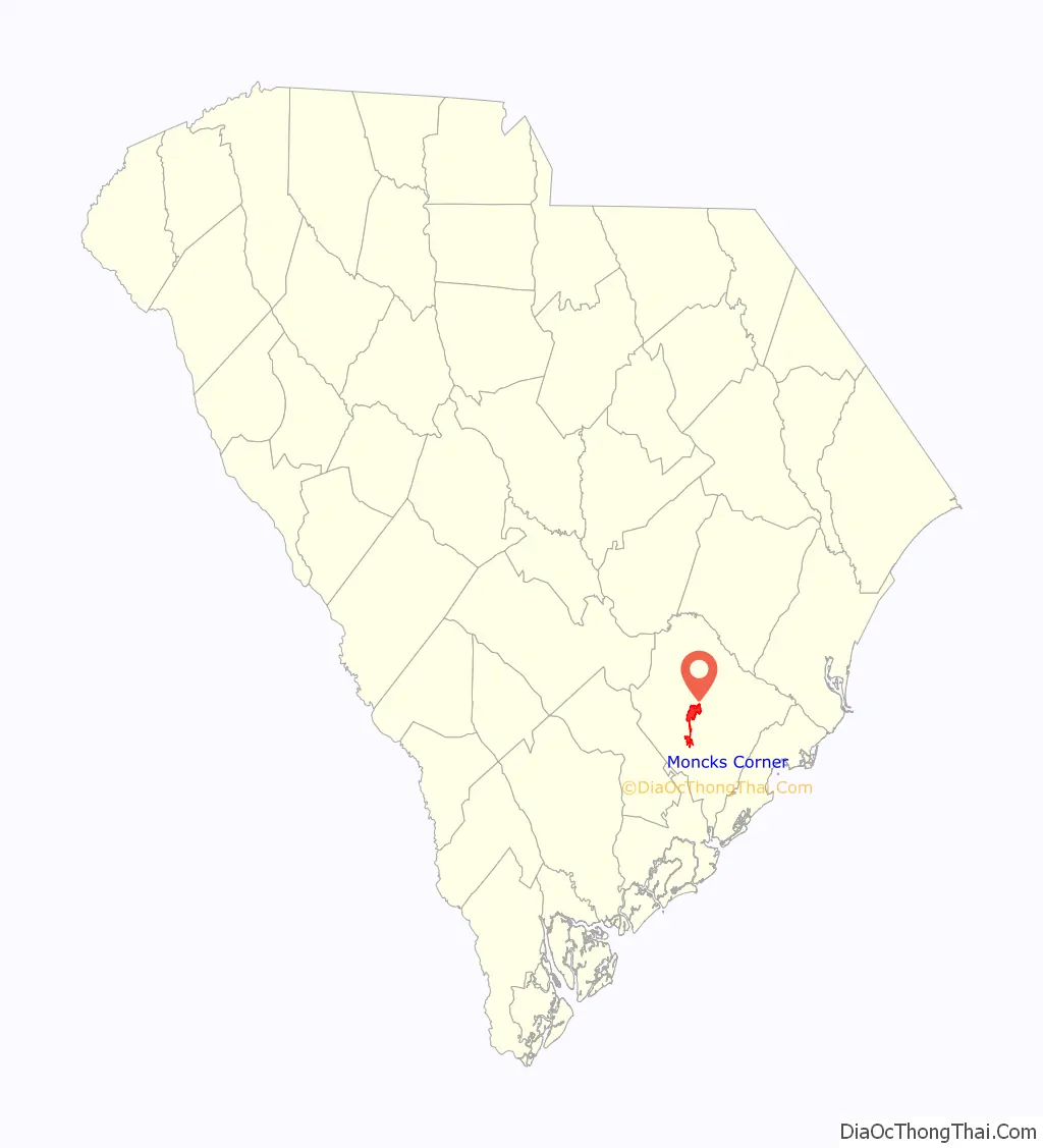
Moncks Corner location map. Where is Moncks Corner town?
History
Settled by indigenous peoples for thousands of years, the area of Moncks Corner was occupied by the historic Edistow people, a sub-tribe of the Cusabo tribes. Its various bands shared a language distinct from that of the major language families in the present-day state: Algonquian, Siouan, and Iroquoian, including Cherokee. Although now extinct as a tribe, Etiwan, Edisto, Cherokee, and Catawba descendants make up the eight families of the Wassamasaw Tribe of Varnertown Indians, a community located between Moncks Corner and Summerville. The 1,500-member tribe were recognized by the state as an Indian Tribe in 2009.
During the colonial era, Moncks Corner became a major settlement area of French Protestant Huguenots, who came to South Carolina between 1684 and 1688 as refugees due to religious persecution in France. Many family surnames in Berkeley and adjacent counties are of French origin. The Huguenots soon began to intermarry with the English colonists.
The town of Moncks Corner dates back to 1728 and is named for landowner Thomas Monck, a slaveholder who branded his runaway slaves on their chest with his name “T Monck.” The town began as a trading post with a few taverns and stores. The Battle of Monck’s Corner was fought here in 1780, associated with the Siege of Charleston.
The Northeastern Railroad, which ran between Charleston, South Carolina, and Siler City, North Carolina, laid its tracks in 1856, and the train depot became the center of the new town of Moncks Corner. The town of Moncks Corner was chartered on December 26, 1885, and incorporated December 15, 1909.
Moncks Corner was granted the trademark “Capital of Santee Cooper Country” by the South Carolina Secretary of State September 9, 1999, and again October 21, 2004. The trademark is a symbol of its abundant outdoor activities, such as horseback riding, hiking, water sports, boating and freshwater fishing. Moncks Corner is also the home of Santee Cooper’s corporate office complex.
The Biggin Church Ruins, Cooper River Historic District, Lewisfield Plantation, Mulberry Plantation, Santee Canal, and Strawberry Chapel and Childsbury Town Site are listed on the National Register of Historic Places.
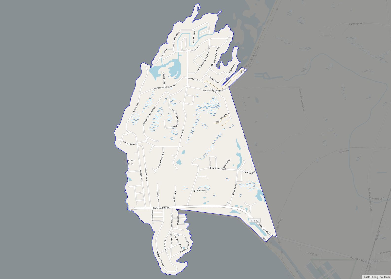
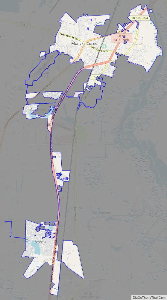
Moncks Corner Road Map
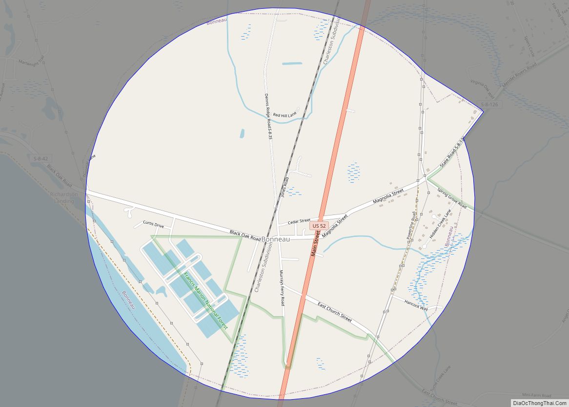
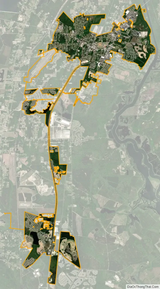
Moncks Corner city Satellite Map
Geography
Moncks Corner is located near the center of Berkeley County at 33°12′N 80°0′W / 33.200°N 80.000°W / 33.200; -80.000 (33.1966, -80.0067). Its boundary extends east to the West Branch of the Cooper River, 3 miles (5 km) south of the outlet of Lake Moultrie.
U.S. Route 52 is the main highway through the town, leading south 32 miles (51 km) to Charleston and north 80 miles (130 km) to Florence. U.S. Route 17 Alternate also passes through the town, leading east 49 miles (79 km) to Georgetown and southwest 16 miles (26 km) to Summerville. South Carolina Highway 6 leads northwest from Moncks Corner along the south and west sides of Lakes Moultrie and Marion 39 miles (63 km) to Interstate 95 at Santee.
According to the United States Census Bureau, Moncks Corner has a total area of 7.4 square miles (19.2 km), of which 7.3 square miles (18.9 km) is land and 0.12 square miles (0.3 km), or 1.81%, is water.
See also
Map of South Carolina State and its subdivision:- Abbeville
- Aiken
- Allendale
- Anderson
- Bamberg
- Barnwell
- Beaufort
- Berkeley
- Calhoun
- Charleston
- Cherokee
- Chester
- Chesterfield
- Clarendon
- Colleton
- Darlington
- Dillon
- Dorchester
- Edgefield
- Fairfield
- Florence
- Georgetown
- Greenville
- Greenwood
- Hampton
- Horry
- Jasper
- Kershaw
- Lancaster
- Laurens
- Lee
- Lexington
- Marion
- Marlboro
- McCormick
- Newberry
- Oconee
- Orangeburg
- Pickens
- Richland
- Saluda
- Spartanburg
- Sumter
- Union
- Williamsburg
- York
- Alabama
- Alaska
- Arizona
- Arkansas
- California
- Colorado
- Connecticut
- Delaware
- District of Columbia
- Florida
- Georgia
- Hawaii
- Idaho
- Illinois
- Indiana
- Iowa
- Kansas
- Kentucky
- Louisiana
- Maine
- Maryland
- Massachusetts
- Michigan
- Minnesota
- Mississippi
- Missouri
- Montana
- Nebraska
- Nevada
- New Hampshire
- New Jersey
- New Mexico
- New York
- North Carolina
- North Dakota
- Ohio
- Oklahoma
- Oregon
- Pennsylvania
- Rhode Island
- South Carolina
- South Dakota
- Tennessee
- Texas
- Utah
- Vermont
- Virginia
- Washington
- West Virginia
- Wisconsin
- Wyoming