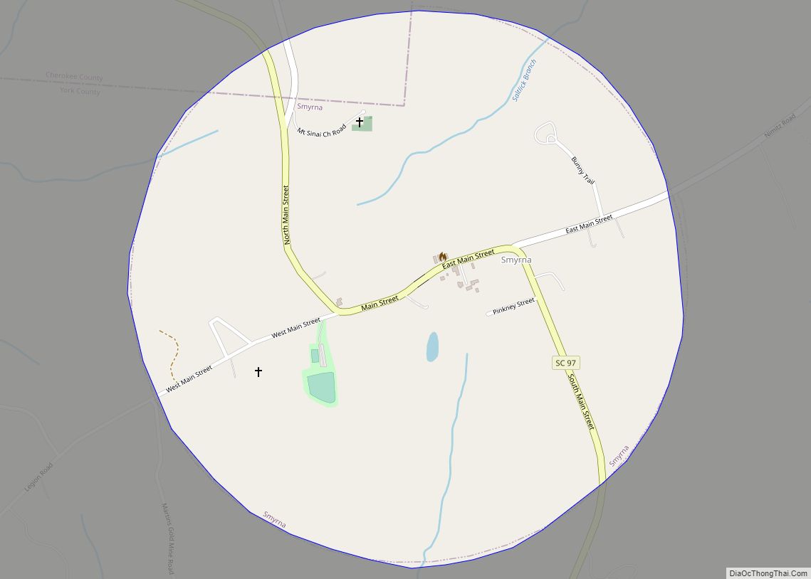
Smyrna is a small town in York and Cherokee counties in the U.S. state of South Carolina. The population was 45 at the 2010 United States Census,.. Smyrna town overview: Name: Smyrna town LSAD Code: 43 LSAD Description: town (suffix) State: South Carolina County: Cherokee County, York County Elevation: 755 ft (230 m) Total Area: 0.71 sq mi (1.83 km²) ... Read more
South Carolina Cities and Places
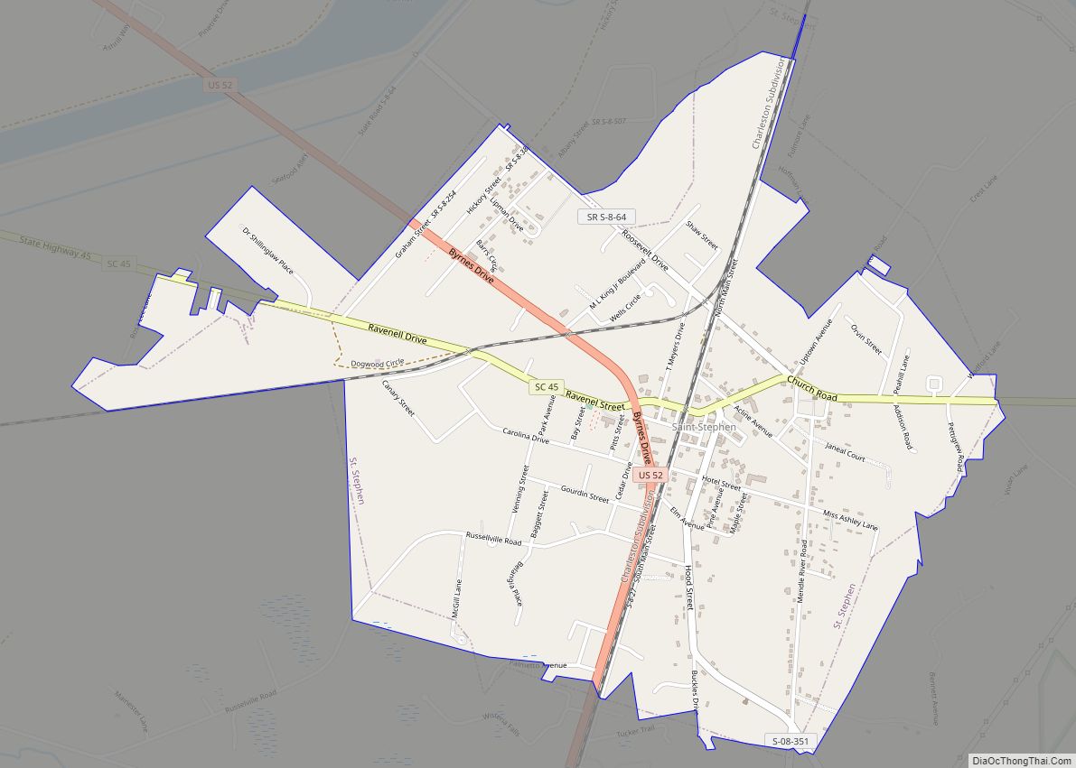
St. Stephen is a town in Berkeley County, South Carolina, United States. The population was 1,697 at the 2010 census. St. Stephen is included within the Charleston-North Charleston-Summerville metropolitan area. St. Stephen town overview: Name: St. Stephen town LSAD Code: 43 LSAD Description: town (suffix) State: South Carolina County: Berkeley County Elevation: 79 ft (24 m) Total ... Read more
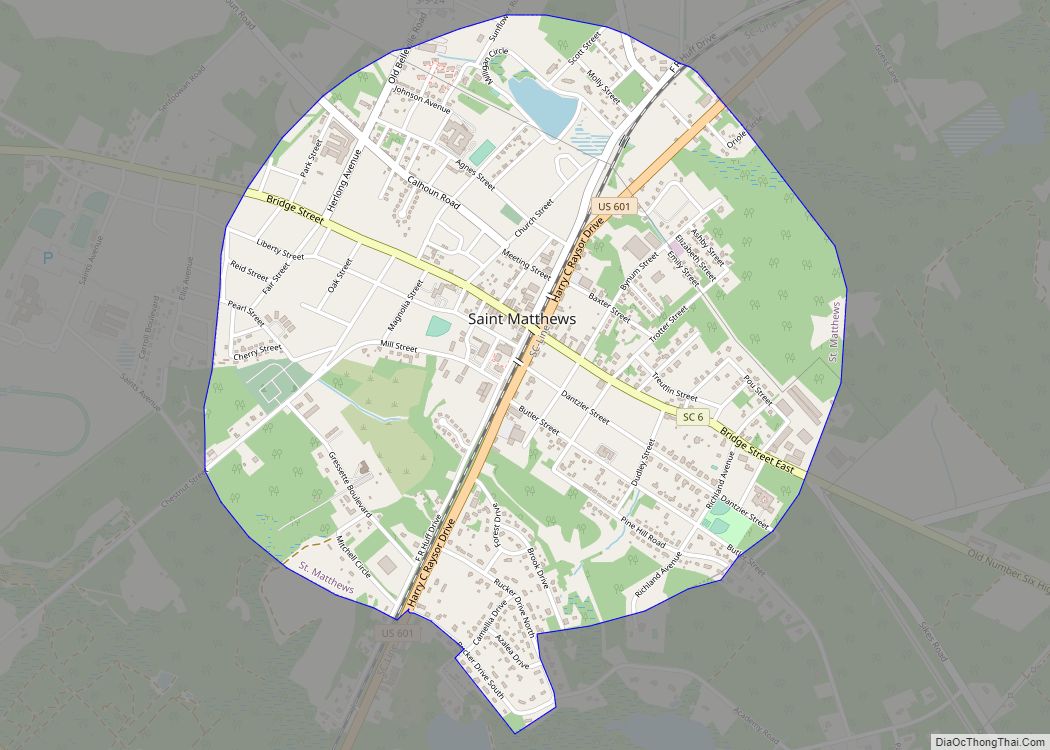
St. Matthews is a town in Calhoun County, South Carolina, United States. The population was 2,021 at the 2010 census, a decline from 2,107 in 2000. It is the county seat of Calhoun County. St. Matthews is part of the Columbia, South Carolina Metropolitan Statistical Area. The town holds an annual Purple Martin festival in ... Read more
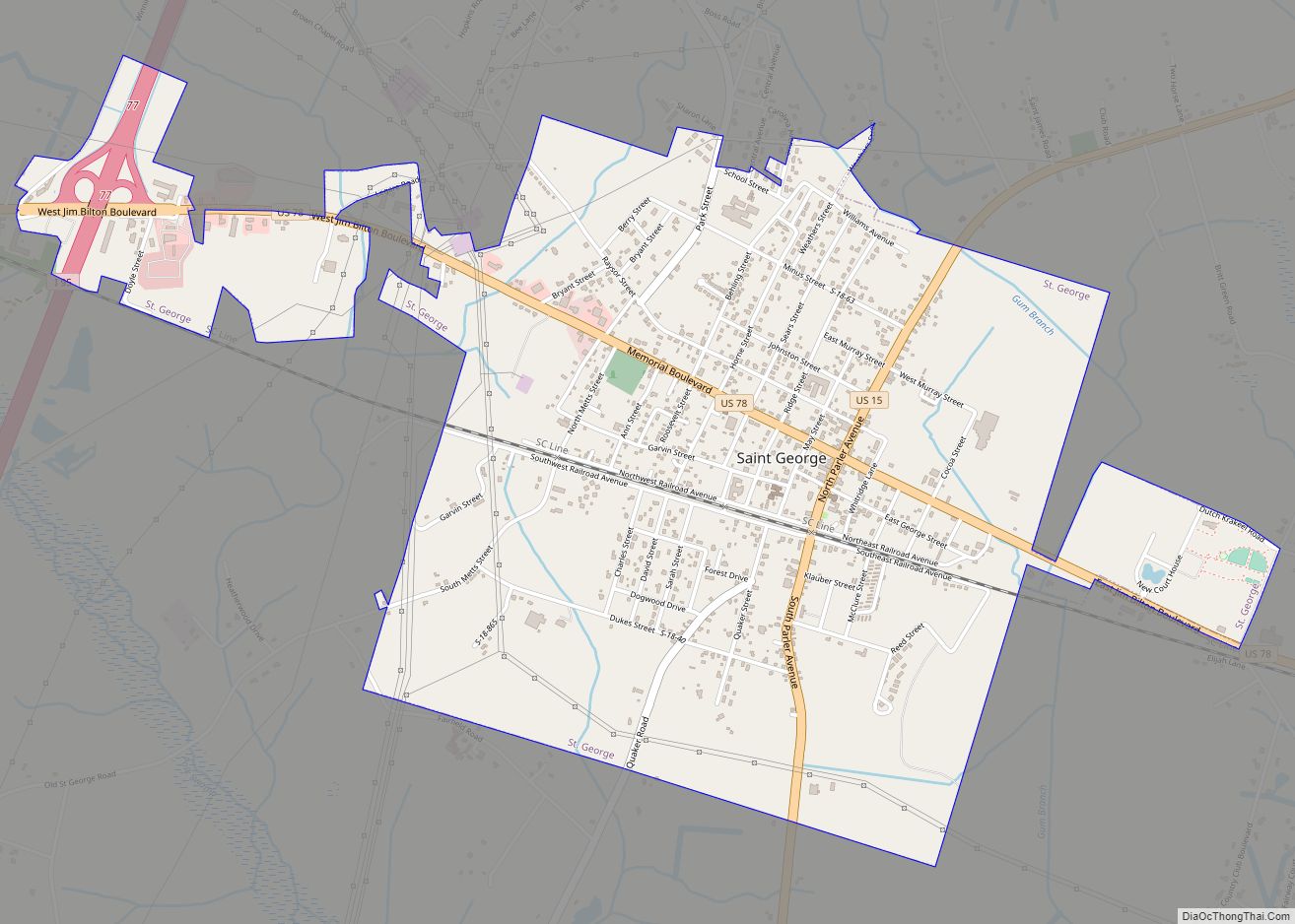
Saint George is a town in Dorchester County, South Carolina, United States. The population was 2,084 at the 2010 census, eight fewer than in 2000. It has been the county seat of Dorchester County since the latter’s formation from Colleton County in 1897. Saint George is included within the Charleston-North Charleston-Summerville metropolitan area as defined ... Read more
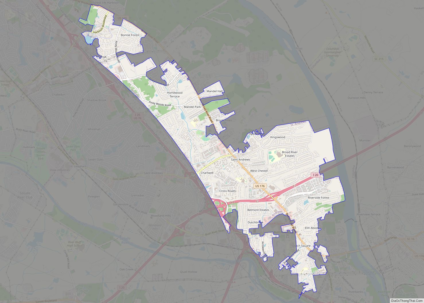
St. Andrews is a census-designated place (CDP) in Richland County, South Carolina, United States. The population was 20,493 at the 2010 census. It is part of the Columbia, South Carolina Metropolitan Statistical Area. St. Andrews CDP overview: Name: St. Andrews CDP LSAD Code: 57 LSAD Description: CDP (suffix) State: South Carolina County: Richland County Elevation: ... Read more
Springfield is a town in Orangeburg County, South Carolina, United States. The population was 524 at the 2010 census. Springfield town overview: Name: Springfield town LSAD Code: 43 LSAD Description: town (suffix) State: South Carolina County: Orangeburg County Elevation: 302 ft (92 m) Total Area: 1.74 sq mi (4.50 km²) Land Area: 1.74 sq mi (4.50 km²) Water Area: 0.00 sq mi (0.00 km²) Total Population: ... Read more
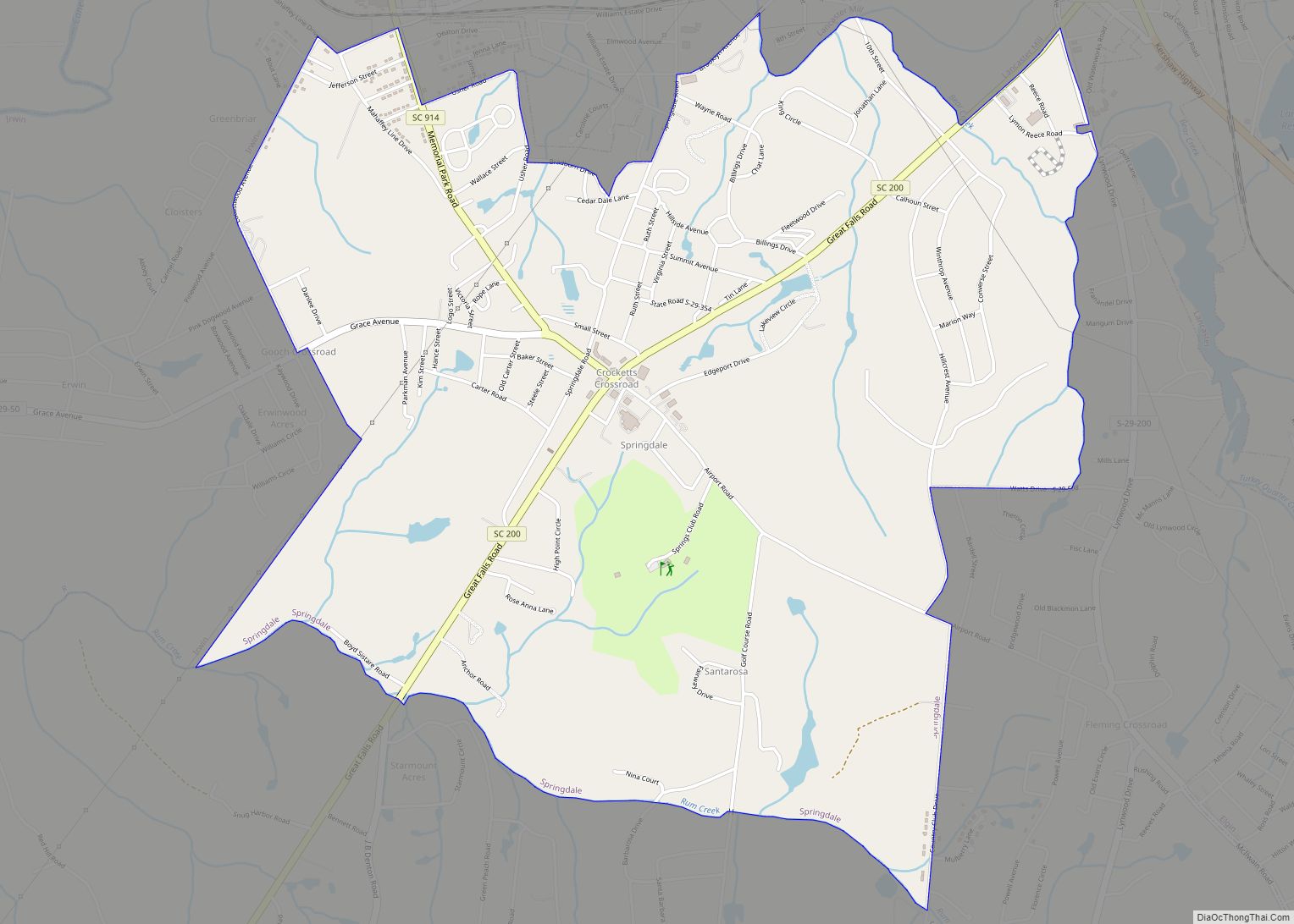
Springdale is an unincorporated community and census-designated place (CDP) in Lancaster County, South Carolina, United States. The population was 2,574 at the 2010 census, down from 2,864 at the 2000 census. Springdale CDP overview: Name: Springdale CDP LSAD Code: 57 LSAD Description: CDP (suffix) State: South Carolina County: Lancaster County Elevation: 538 ft (164 m) Total Area: ... Read more
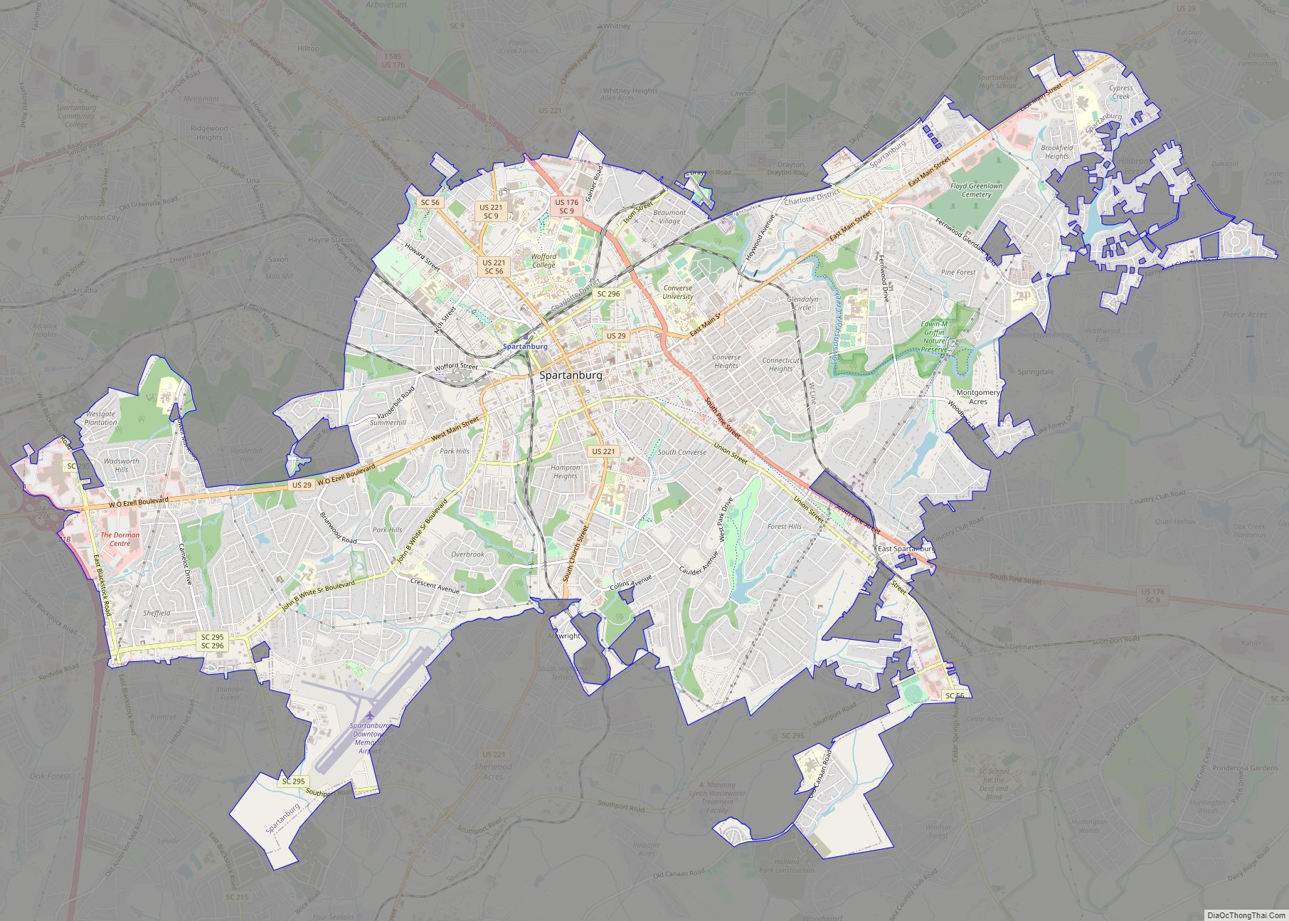
Spartanburg is a city in and the seat of Spartanburg County, South Carolina, United States. The city had a population 38,732 as of the 2020 census, making it the 11th-largest city in the state. For a time, the Office of Management and Budget (OMB) grouped Spartanburg and Union Counties together as the Spartanburg metropolitan statistical ... Read more
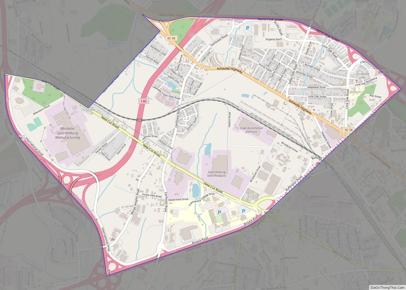
Southern Shops is a census-designated place (CDP) in Spartanburg County, South Carolina, United States. The population was 3,767 at the 2010 census. Southern Shops CDP overview: Name: Southern Shops CDP LSAD Code: 57 LSAD Description: CDP (suffix) State: South Carolina County: Spartanburg County Elevation: 876 ft (267 m) Total Area: 3.58 sq mi (9.26 km²) Land Area: 3.56 sq mi (9.23 km²) Water ... Read more
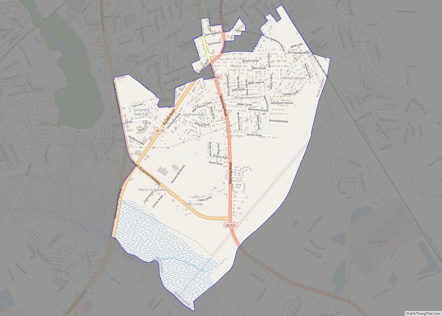
South Sumter is a census-designated place (CDP) in Sumter County, South Carolina, United States. The population was 3,365 at the 2000 census. It is included in the Sumter, South Carolina Metropolitan Statistical Area. South Sumter CDP overview: Name: South Sumter CDP LSAD Code: 57 LSAD Description: CDP (suffix) State: South Carolina County: Sumter County Elevation: ... Read more
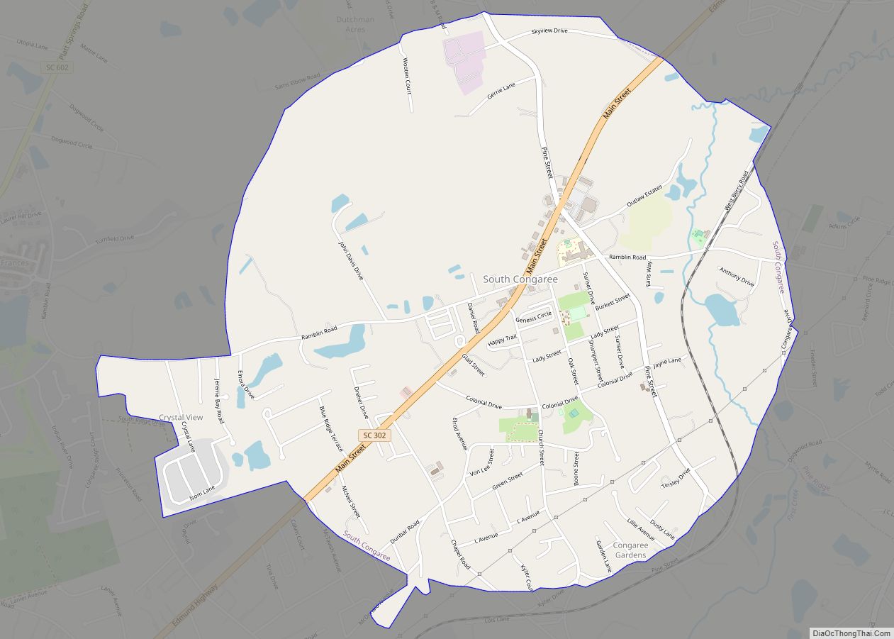
South Congaree is a town in Lexington County, South Carolina, United States. The population was 2,306 at the 2010 census. It is part of the Columbia, South Carolina Metropolitan Statistical Area. South Congaree town overview: Name: South Congaree town LSAD Code: 43 LSAD Description: town (suffix) State: South Carolina County: Lexington County Incorporated: 1957 Elevation: ... Read more
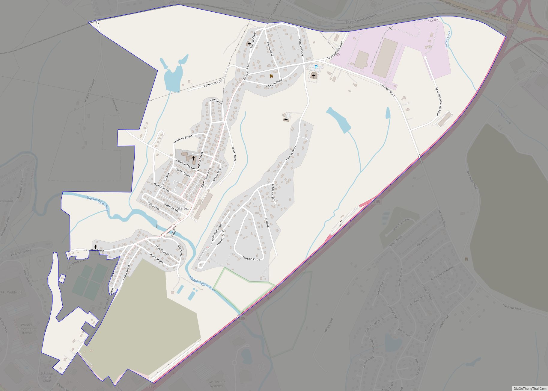
Startex is a census-designated place (CDP) in Spartanburg County, South Carolina, United States. The population was 859 at the 2010 census. The area was originally known as Tucapau, named after the mill that was built there in 1896. In 1936, Walter Montgomery Sr. bought the mill and changed its name to Startex—the brand name of ... Read more
