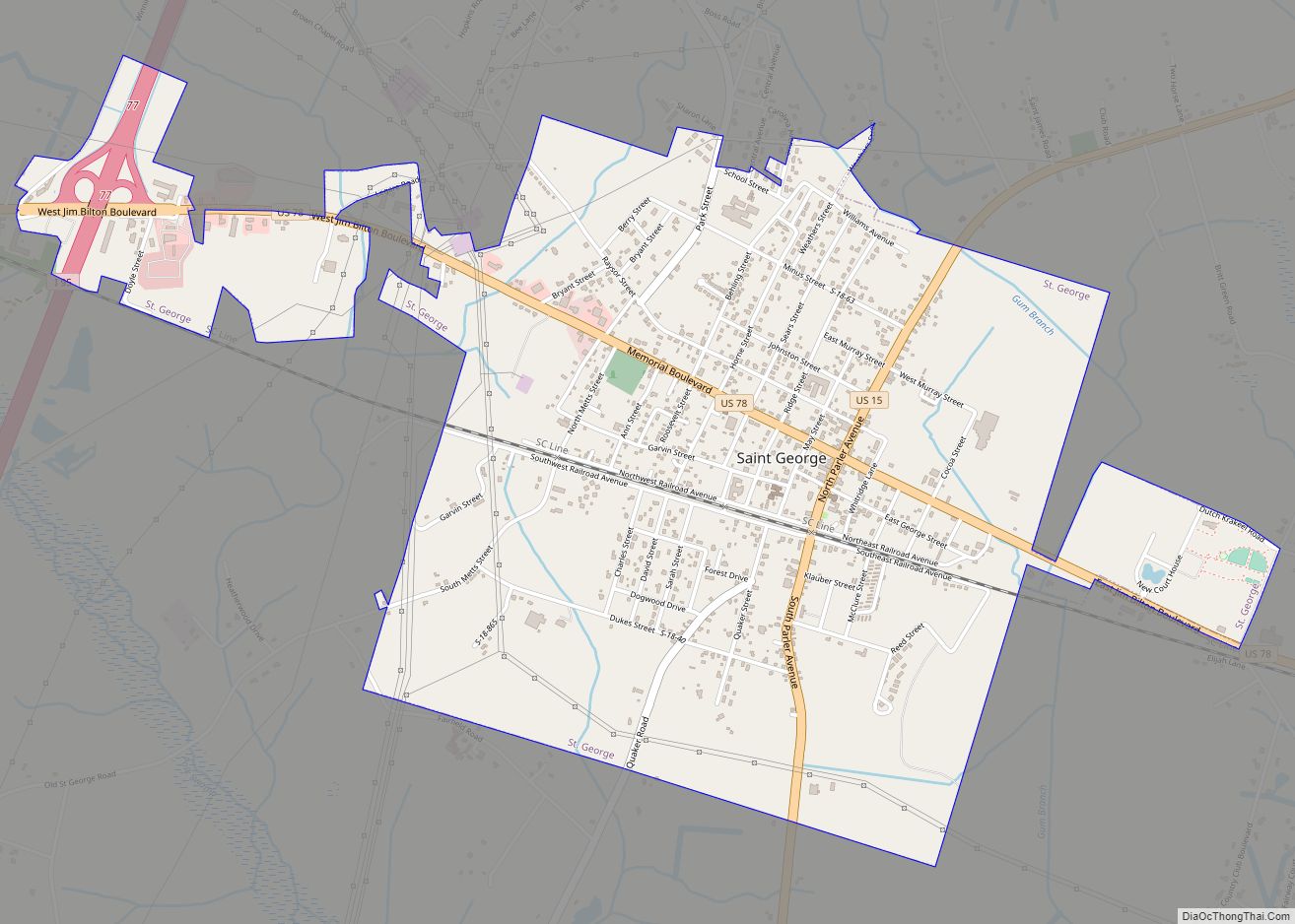
Saint George is a town in Dorchester County, South Carolina, United States. The population was 2,084 at the 2010 census, eight fewer than in 2000. It has been the county seat of Dorchester County since the latter’s formation from Colleton County in 1897.
Saint George is included within the Charleston-North Charleston-Summerville metropolitan area as defined by the U.S. Office of Management and Budget, and used by the U. S. Census Bureau for statistical purposes only.
| Name: | St. George town |
|---|---|
| LSAD Code: | 43 |
| LSAD Description: | town (suffix) |
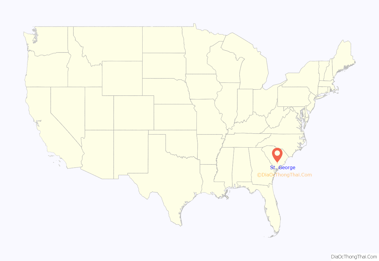
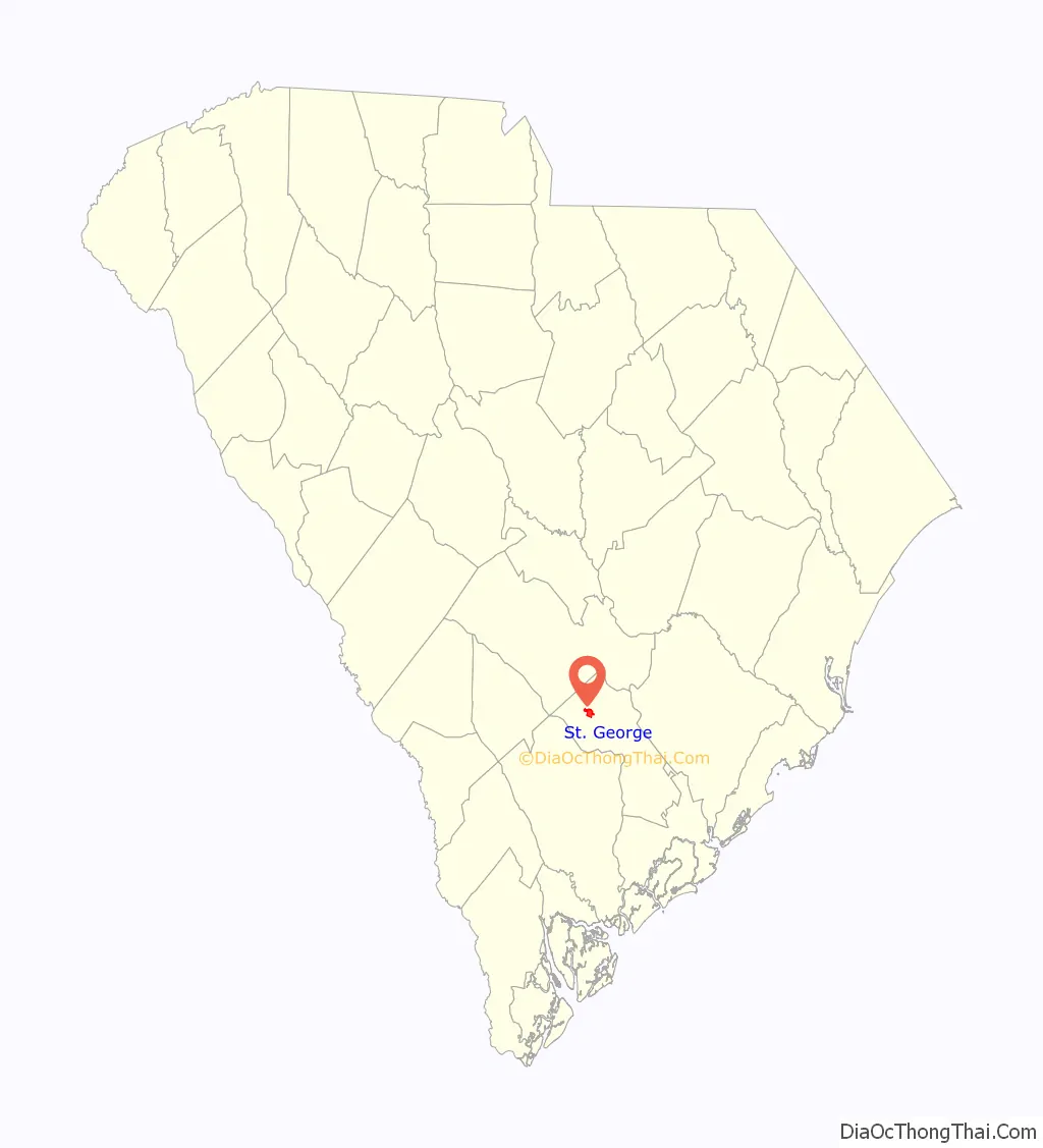
| State: | South Carolina |
| County: | Dorchester County |
| Elevation: | 105 ft (32 m) |
| Total Area: | 2.85 sq mi (7.37 km²) |
| Land Area: | 2.85 sq mi (7.37 km²) |
| Water Area: | 0.00 sq mi (0.00 km²) |
| Total Population: | 1,843 |
| Population Density: | 647.58/sq mi (250.05/km²) |
| ZIP code: | 29477 |
| FIPS code: | 4562530 |
| GNISfeature ID: | 1250508 |
| Website: | saintgeorgesc.org |
Online Interactive Map
Click on ![]() to view map in "full screen" mode.
to view map in "full screen" mode.
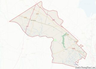
St. George location map. Where is St. George town?
History
The town grew on both sides of South Carolina Canal and Railroad Company, one of the first railroads built in the United States and the first to offer scheduled passenger trains pulled by steam locomotives. In the 1970s, Appleby’s Methodist Church, Carroll Place, and Indian Fields Methodist Campground were listed on the National Register of Historic Places.
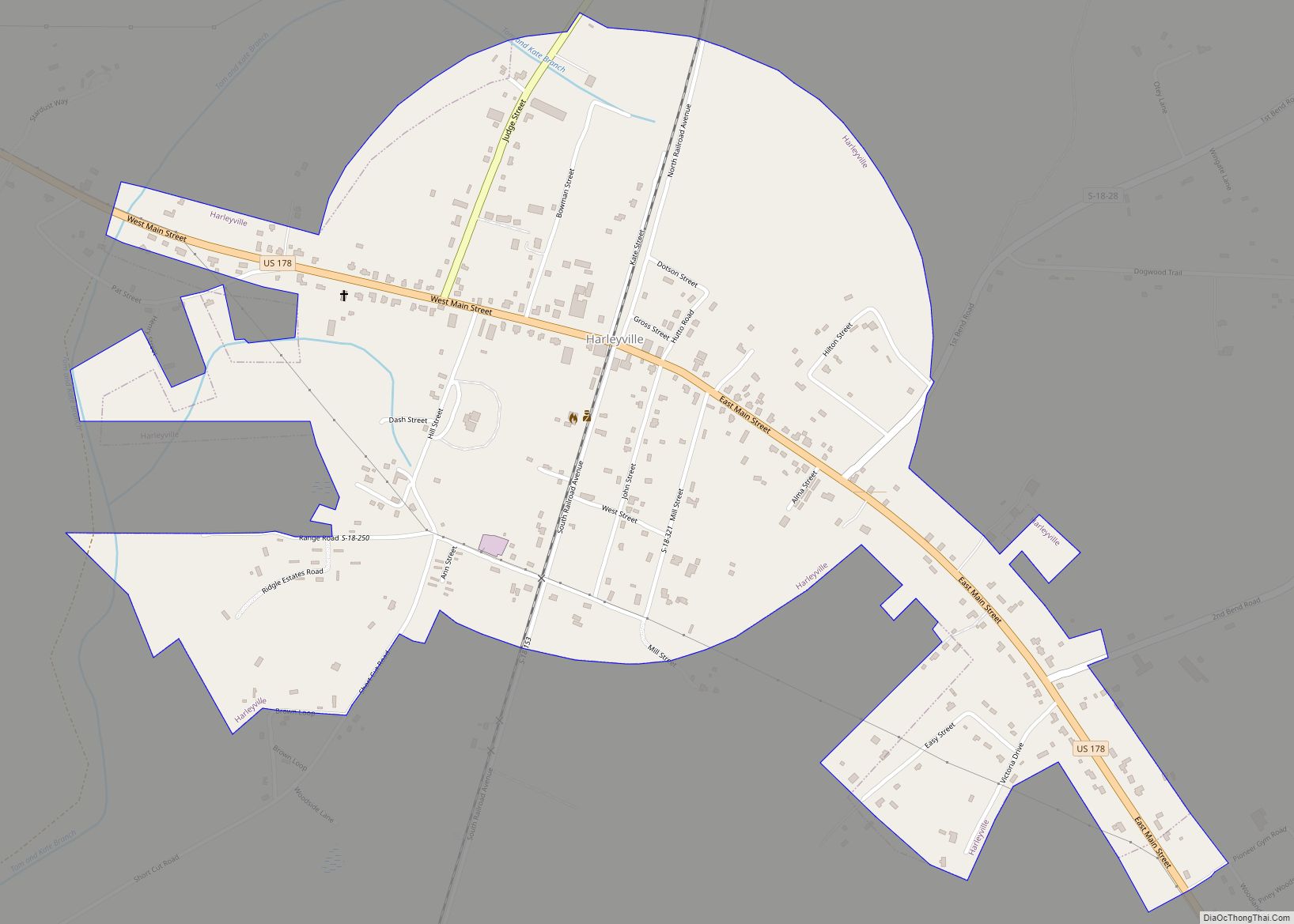
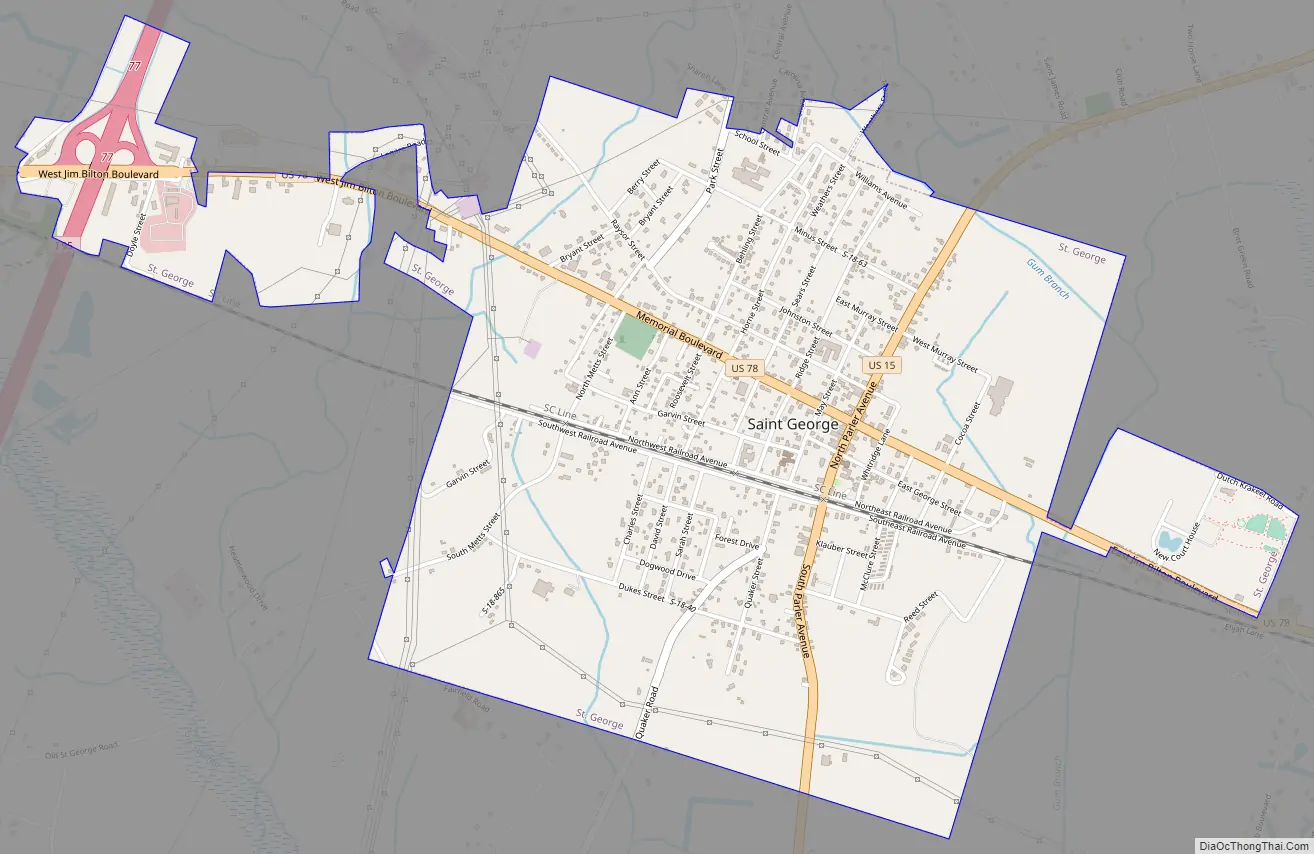
St. George Road Map
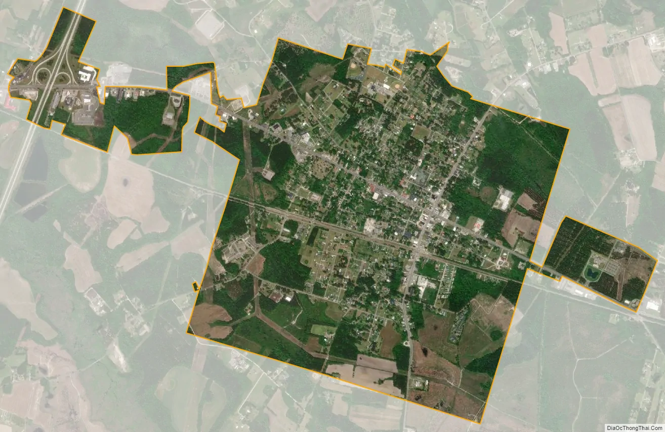
St. George city Satellite Map
Geography
Saint George is located at 33°11′N 80°34.46′W / 33.183°N 80.57433°W / 33.183; -80.57433, near the crossing of Interstate 26 and Interstate 95.
The town has a total area of 2.7 square miles (6.9 km), all of it land, according to the United States Census Bureau.
See also
Map of South Carolina State and its subdivision:- Abbeville
- Aiken
- Allendale
- Anderson
- Bamberg
- Barnwell
- Beaufort
- Berkeley
- Calhoun
- Charleston
- Cherokee
- Chester
- Chesterfield
- Clarendon
- Colleton
- Darlington
- Dillon
- Dorchester
- Edgefield
- Fairfield
- Florence
- Georgetown
- Greenville
- Greenwood
- Hampton
- Horry
- Jasper
- Kershaw
- Lancaster
- Laurens
- Lee
- Lexington
- Marion
- Marlboro
- McCormick
- Newberry
- Oconee
- Orangeburg
- Pickens
- Richland
- Saluda
- Spartanburg
- Sumter
- Union
- Williamsburg
- York
- Alabama
- Alaska
- Arizona
- Arkansas
- California
- Colorado
- Connecticut
- Delaware
- District of Columbia
- Florida
- Georgia
- Hawaii
- Idaho
- Illinois
- Indiana
- Iowa
- Kansas
- Kentucky
- Louisiana
- Maine
- Maryland
- Massachusetts
- Michigan
- Minnesota
- Mississippi
- Missouri
- Montana
- Nebraska
- Nevada
- New Hampshire
- New Jersey
- New Mexico
- New York
- North Carolina
- North Dakota
- Ohio
- Oklahoma
- Oregon
- Pennsylvania
- Rhode Island
- South Carolina
- South Dakota
- Tennessee
- Texas
- Utah
- Vermont
- Virginia
- Washington
- West Virginia
- Wisconsin
- Wyoming