Spartanburg is a city in and the seat of Spartanburg County, South Carolina, United States. The city had a population 38,732 as of the 2020 census, making it the 11th-largest city in the state. For a time, the Office of Management and Budget (OMB) grouped Spartanburg and Union Counties together as the Spartanburg metropolitan statistical area, but the OMB now defines the Spartanburg MSA as only Spartanburg County.
Spartanburg is the second-largest city in the greater Greenville–Spartanburg–Anderson combined statistical area, which had a population of 1,385,045 as of 2014. It is part of a 10-county region of northwestern South Carolina known as “The Upstate”, and is located 98 miles (158 km) northwest of Columbia, 80 miles (130 km) west of Charlotte, North Carolina, and about 190 miles (310 km) northeast of Atlanta, Georgia.
Spartanburg is the home of Wofford College, Converse University, Spartanburg Community College, and Edward Via College of Ostepathic Medicine and the area is home to USC Upstate , Sherman College of Chiropratic and Spartanburg Methodist College. It is also the site of headquarters for Denny’s.
| Name: | Spartanburg city |
|---|---|
| LSAD Code: | 25 |
| LSAD Description: | city (suffix) |
| State: | South Carolina |
| County: | Spartanburg County |
| Founded: | 1787 |
| Incorporated: | 1831 |
| Elevation: | 797 ft (243 m) |
| Land Area: | 20.25 sq mi (52.46 km²) |
| Water Area: | 0.11 sq mi (0.29 km²) 0.47% |
| Population Density: | 1,912.41/sq mi (738.37/km²) |
| Area code: | 864 |
| FIPS code: | 4568290 |
| GNISfeature ID: | 1250982 |
| Website: | www.cityofspartanburg.org |
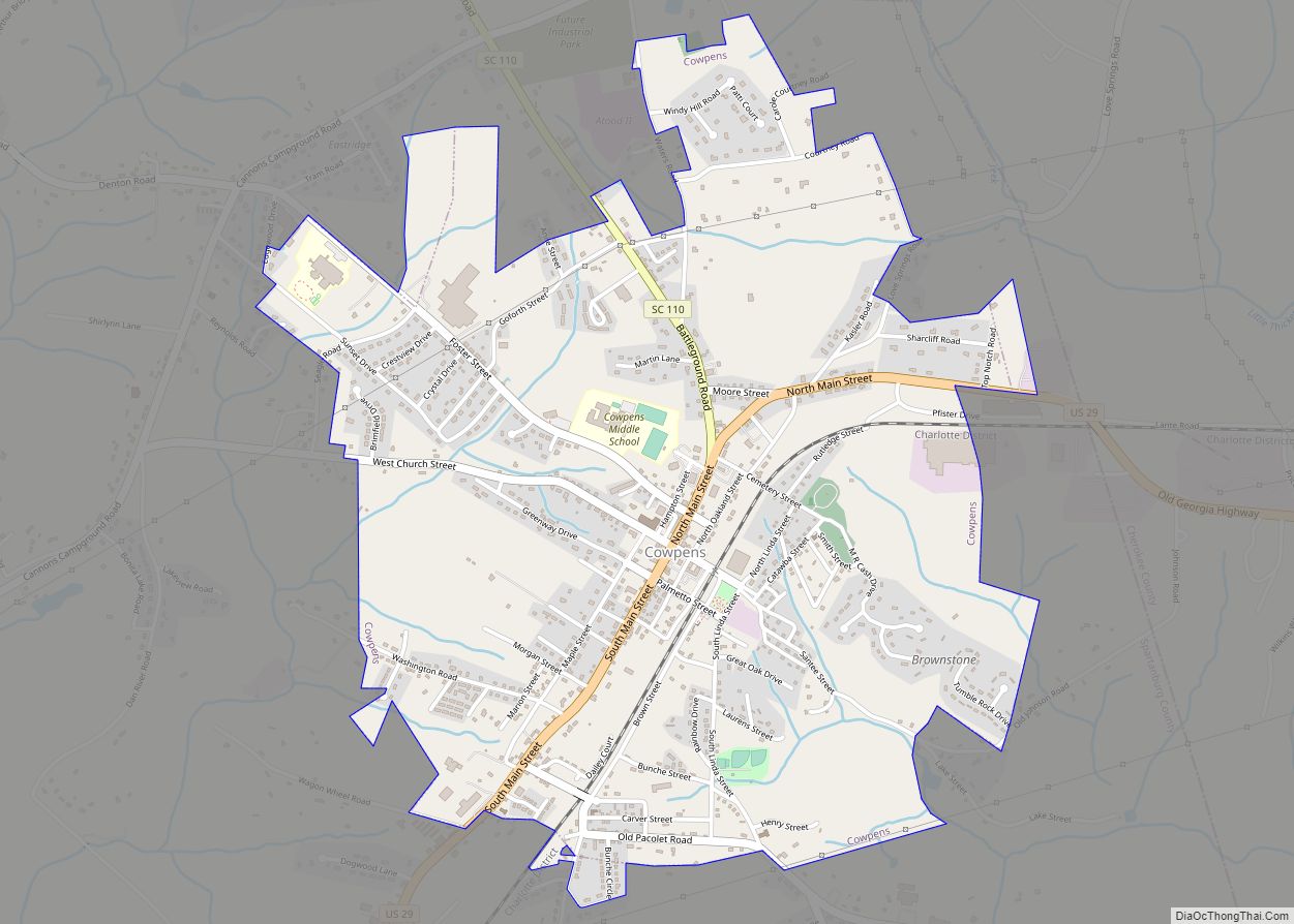
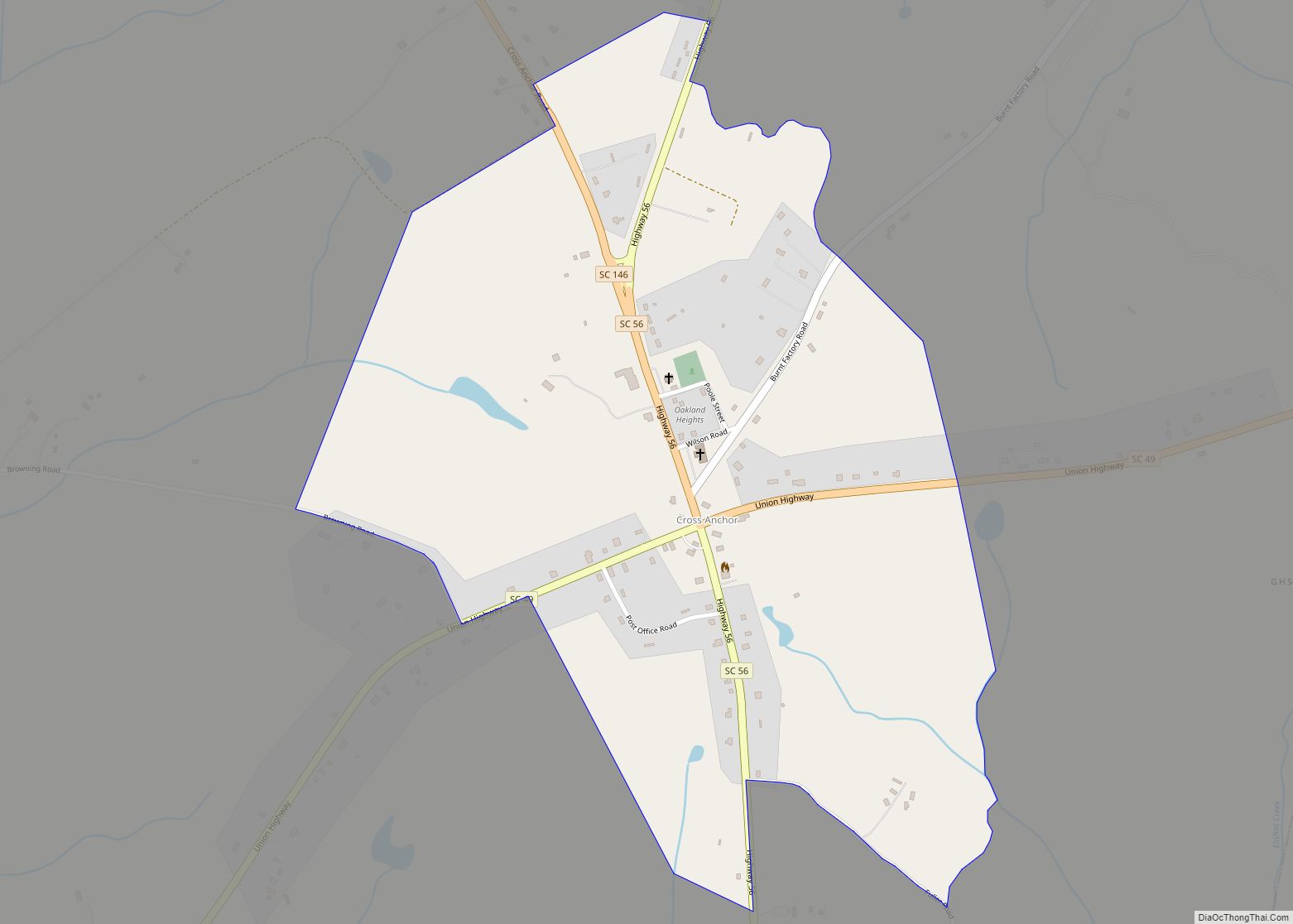
Online Interactive Map
Click on ![]() to view map in "full screen" mode.
to view map in "full screen" mode.
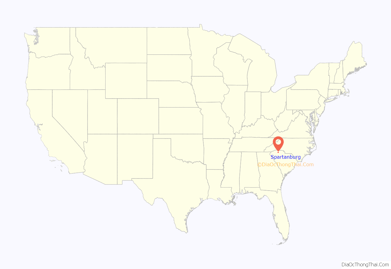
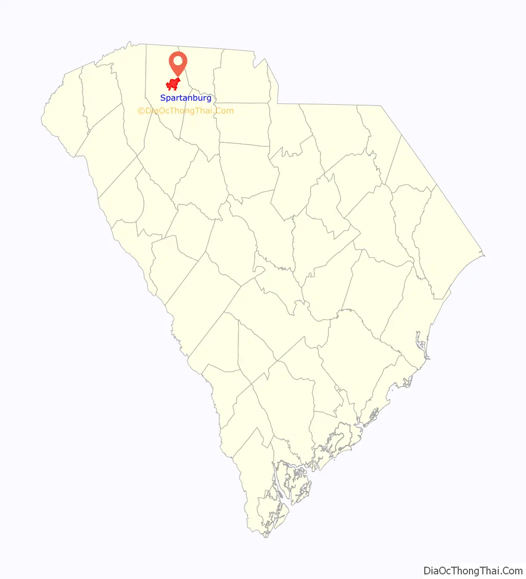
Spartanburg location map. Where is Spartanburg city?
History
Spartanburg was formed in 1785, after a deal was made with the Cherokee Nation in 1753, and was named after a local militia called the Spartan Regiment in the American Revolutionary War. The Spartan Regiment, commanded by Andrew Pickens, participated in the nearby Battle of Cowpens. In 1831, Spartanburg was incorporated, later becoming known as the “Hub City”; railroad lines radiated from the city forming the shape of a wheel hub.
It became a center of textile manufacturing in the late 19th century, with around 40 textile mills being established through the early 1900s.
In 1911, under the sponsorship of the Spartanburg Herald and the United Daughters of the Confederacy, the city erected a confederate monument at the intersection of South Church and Henry Streets, overlooking downtown. It was moved in 1966 to Duncan Park.
During World War I, Camp Wadsworth was used to train 100,000 soldiers for the war. Camp Croft trained soldiers during World War II. The facility was transferred to the state and adapted as Croft State Park.
By the 1950s, the production in these mills began to decline as wages increased. Most textile manufacturing jobs were moved offshore by the companies.
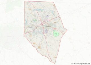
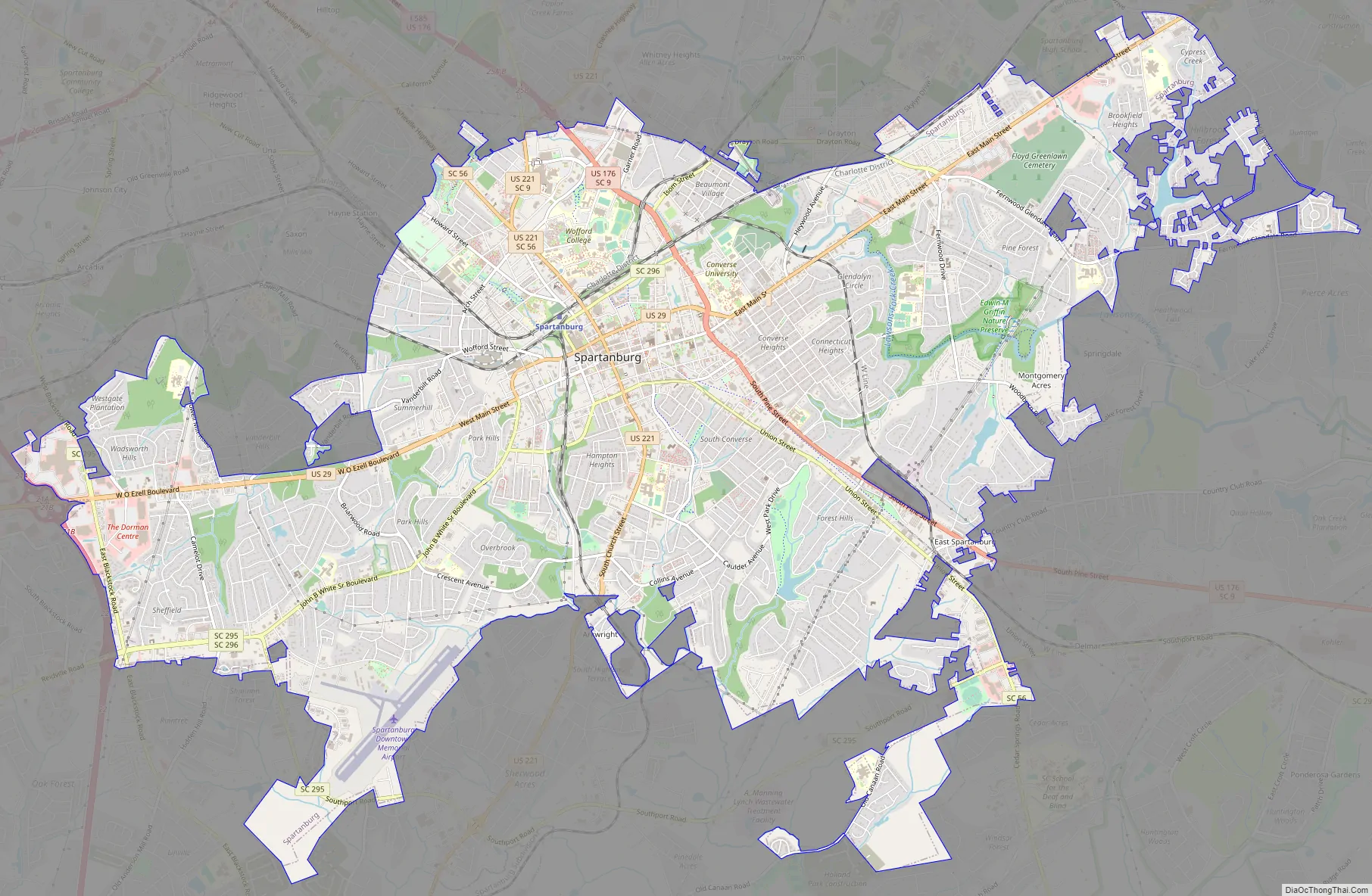
Spartanburg Road Map
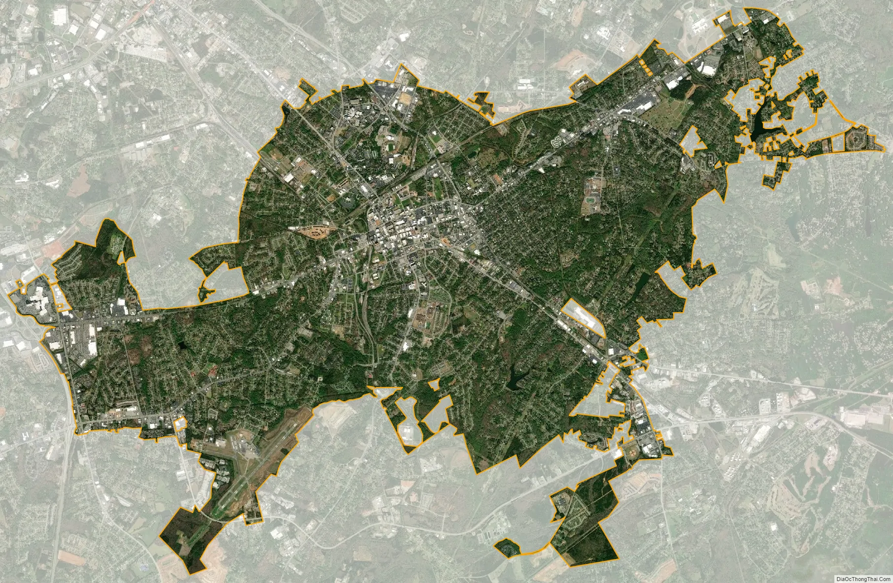
Spartanburg city Satellite Map
Geography
According to the United States Census Bureau, the city has a total area of 20.3 square miles (53 km), of which 0.1 square miles (0.26 km), or 0.47%, is covered by water. The most common soil series is Cecil. The bedrock is mostly biotite gneiss.
Climate
The city of Spartanburg has a humid subtropical climate with long, hot, and humid summers, and cool to semimild winters. The average annual temperature is 61.6 °F (16.4 °C). In the summer from June through September, average highs are in the 80s °F (20s °C) to low 90s °F (30s °C), while in the winter, average highs are in the mid-50s °F (10s °C). Annual rainfall is spread fairly evenly throughout the whole year. Spartanburg receives very little snowfall, with the annual average being only 1.4 inches (3.6 cm). Average precipitation is 51.3 inches (130 cm) and the average growing season is 231 days.
See also
Map of South Carolina State and its subdivision:- Abbeville
- Aiken
- Allendale
- Anderson
- Bamberg
- Barnwell
- Beaufort
- Berkeley
- Calhoun
- Charleston
- Cherokee
- Chester
- Chesterfield
- Clarendon
- Colleton
- Darlington
- Dillon
- Dorchester
- Edgefield
- Fairfield
- Florence
- Georgetown
- Greenville
- Greenwood
- Hampton
- Horry
- Jasper
- Kershaw
- Lancaster
- Laurens
- Lee
- Lexington
- Marion
- Marlboro
- McCormick
- Newberry
- Oconee
- Orangeburg
- Pickens
- Richland
- Saluda
- Spartanburg
- Sumter
- Union
- Williamsburg
- York
- Alabama
- Alaska
- Arizona
- Arkansas
- California
- Colorado
- Connecticut
- Delaware
- District of Columbia
- Florida
- Georgia
- Hawaii
- Idaho
- Illinois
- Indiana
- Iowa
- Kansas
- Kentucky
- Louisiana
- Maine
- Maryland
- Massachusetts
- Michigan
- Minnesota
- Mississippi
- Missouri
- Montana
- Nebraska
- Nevada
- New Hampshire
- New Jersey
- New Mexico
- New York
- North Carolina
- North Dakota
- Ohio
- Oklahoma
- Oregon
- Pennsylvania
- Rhode Island
- South Carolina
- South Dakota
- Tennessee
- Texas
- Utah
- Vermont
- Virginia
- Washington
- West Virginia
- Wisconsin
- Wyoming