Surfside Beach is a town in Horry County, South Carolina, United States. Its nickname is “The Family Beach”. The population was 3,837 at the 2010 census, down from 4,425 in 2000. It is considered a part of the Grand Strand.
| Name: | Surfside Beach town |
|---|---|
| LSAD Code: | 43 |
| LSAD Description: | town (suffix) |
| State: | South Carolina |
| County: | Horry County |
| Elevation: | 10 ft (3 m) |
| Total Area: | 1.96 sq mi (5.09 km²) |
| Land Area: | 1.95 sq mi (5.05 km²) |
| Water Area: | 0.02 sq mi (0.04 km²) |
| Total Population: | 4,155 |
| Population Density: | 2,132.96/sq mi (823.44/km²) |
| ZIP code: | 29575, 29587 |
| Area code: | 843, 854 |
| FIPS code: | 4570585 |
| GNISfeature ID: | 1231847 |
| Website: | www.surfsidebeach.org |
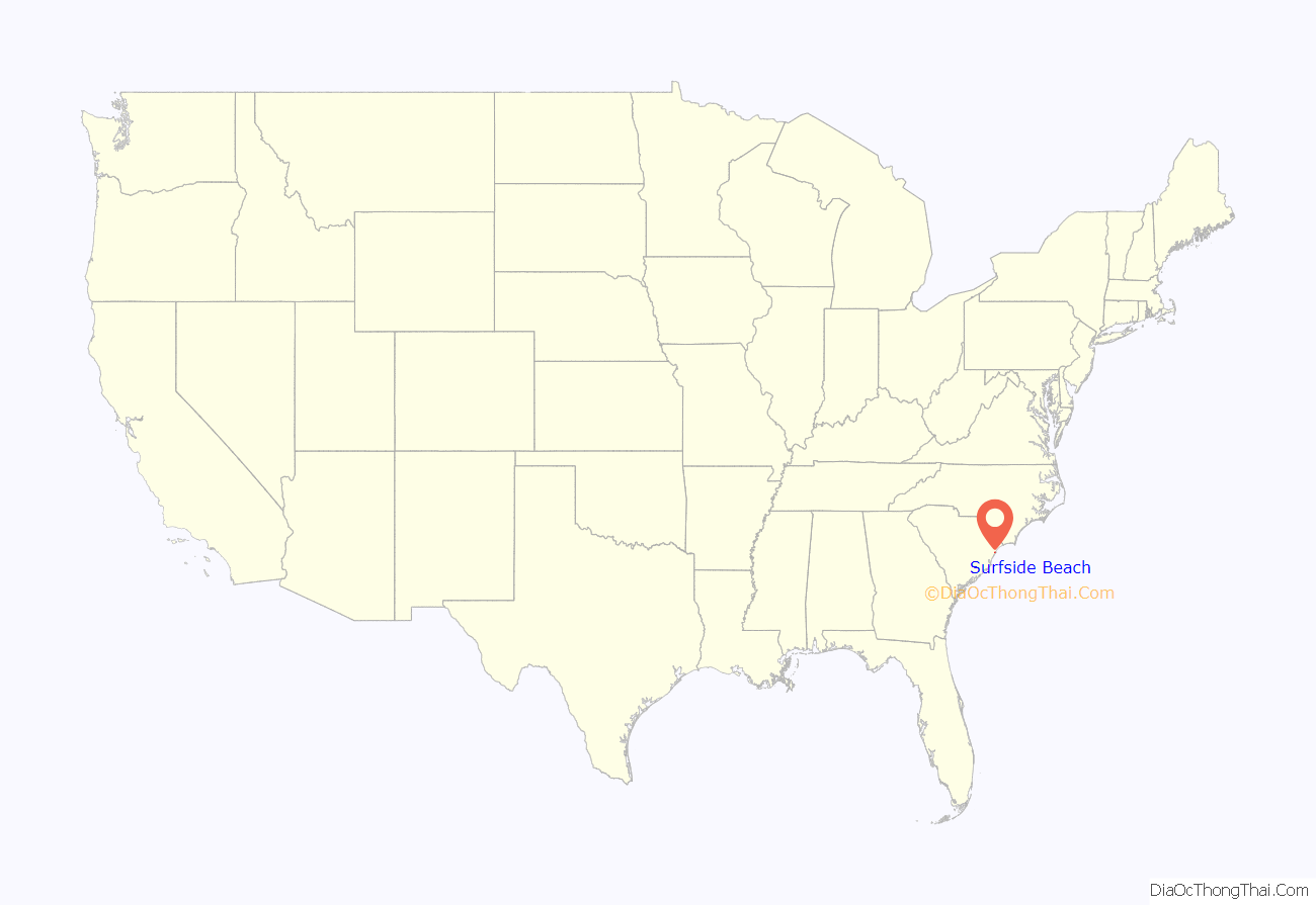
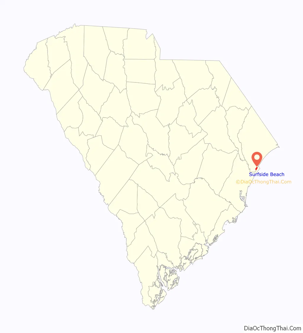
Online Interactive Map
Click on ![]() to view map in "full screen" mode.
to view map in "full screen" mode.
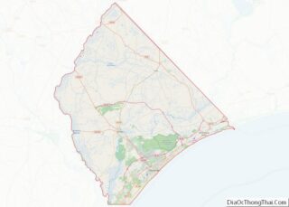
Surfside Beach location map. Where is Surfside Beach town?
History
This portion of beach was mentioned in the 1765 diary of John Bartram, botanist, who lodged at what was presumably Stephen Peak’s plantation, “at the west end of long bay”. It was also mentioned in the 1773 journal of William Bartram, naturalist, who also “got to the West end of Long Bay, where [he] lodged at a large Indigo plantation.” The plantation in question was called “The Ark”, possibly because it was originally owned by “Mr. Aark.” A 1838 survey recorded it having 3,194 acres. The plantation reported 57 slaves in 1850 and 63 in 1860. The main house was located near the ocean front (at 3rd Ave S and Willow Dr in present-day Surfside Beach) with several slave cabins just to the north along the ocean and a cemetery behind it (S Hollywood Dr on the west, to Juniper Dr on the north, to 6th Ave S on the east, to Cypress Dr on the south.) The main house served as shelter during the great hurricane of 1893. It was later used as an inn then to house beach lifeguards, before it was demolished in the 1960s. The cemetery, where many of the enslaved people of the plantation were buried, continued to be used by descendants of those enslaved families until 1952. In 1980, the town of Surfside Beach declared it abandoned, opening the area for development. The area once occupied by the cemetery is completely covered by residences.
Surfside Beach was first incorporated in 1964 with 881 residents. It was previously known as Roach’s Beach and had only a few buildings surviving the hurricane of 1893. Principal industries were lumber and feed farming for the 30 or so horses and mules in the area. The new owner, Mr. George J. Holiday, renamed the area Floral Beach for his wife, Flora, and daughter, Floramay. In the late 1920s, a group from Columbia purchased and partially developed the land. In 1952, most of the land changed hands again and became known as Surfside Beach. The undeveloped beach area was covered with sand dunes. A one-lane sandy road led from the highway to a quiet beach.
Hurricane Hazel in 1954 destroyed 18 of the beach’s 65 houses, but did not dampen the spirit of the developers. Lots were cleared, the sand was leveled, topsoil was brought in and T. J. Harrison, who later became the town’s first mayor, opened the first grocery store in 1956 for the six permanent families and summer residents. Significant expansion did not occur until after 1956 when Myrtle Beach Air Force Base was reactivated. By 1964, its reputation as a family beach was further established and the town was becoming a popular place to retire. The new town government increased police protection, mosquito and sanitation control, and street lights and zoning ordinances resulted in increased property values. Public parking and walkways to the beach were established and government offices were constructed. Within the next few years, the town continued to grow through annexation. Improvements were made to streets and water lines and business and residential building boomed. Surfside Beach, as well as the rest of the Grand Strand, became one of the fastest growing parts of the country.
Surfside Beach adopted a public-places smoking ban which took effect October 1, 2007. Surfside Beach is the first town in Horry County to enact such a ban, and one of only a handful in South Carolina to do so at the time.
On February 4, 2023, at 2:39 PM local time, a Chinese spy balloon that had been flying across the United States for days was shot down directly over the town’s coast by an AIM-9X Sidewinder launched from a Lockheed Martin F-22 Raptor. US military aircraft were spotted directly overhead of the town minutes before the balloon was shot down.
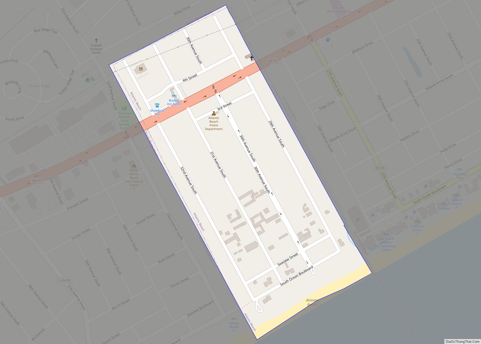
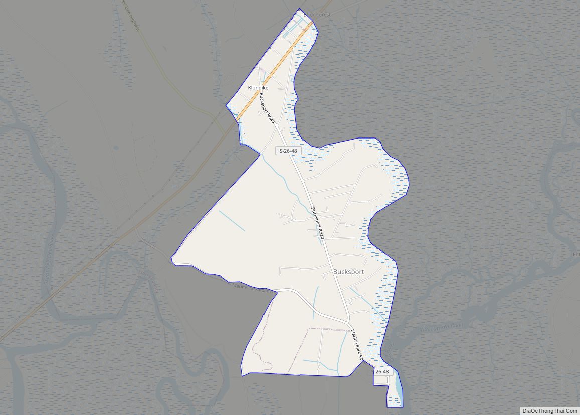
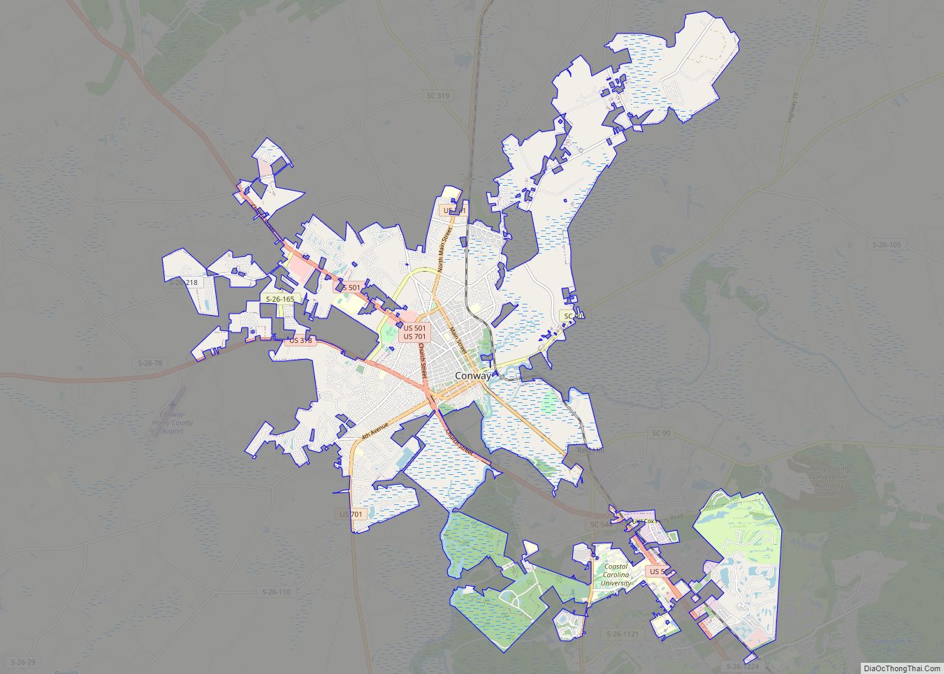
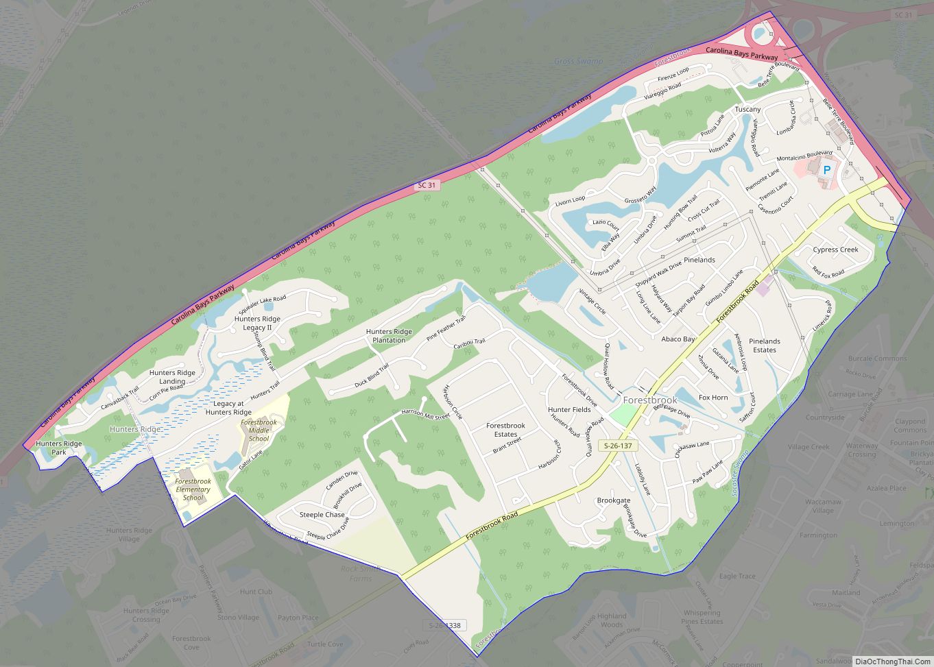
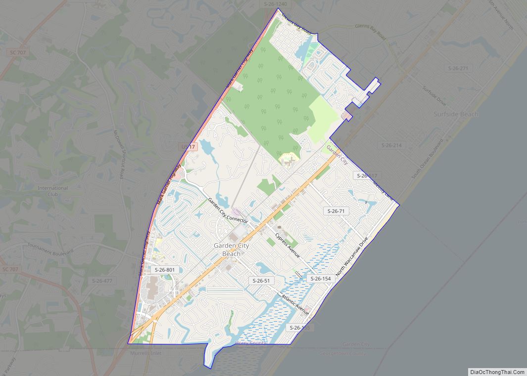
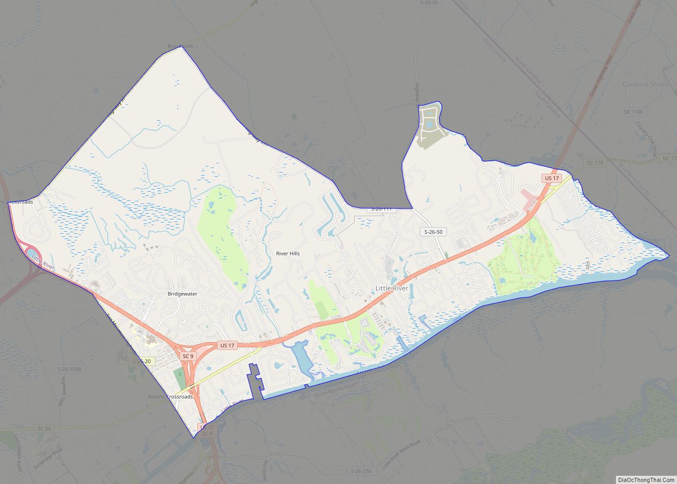
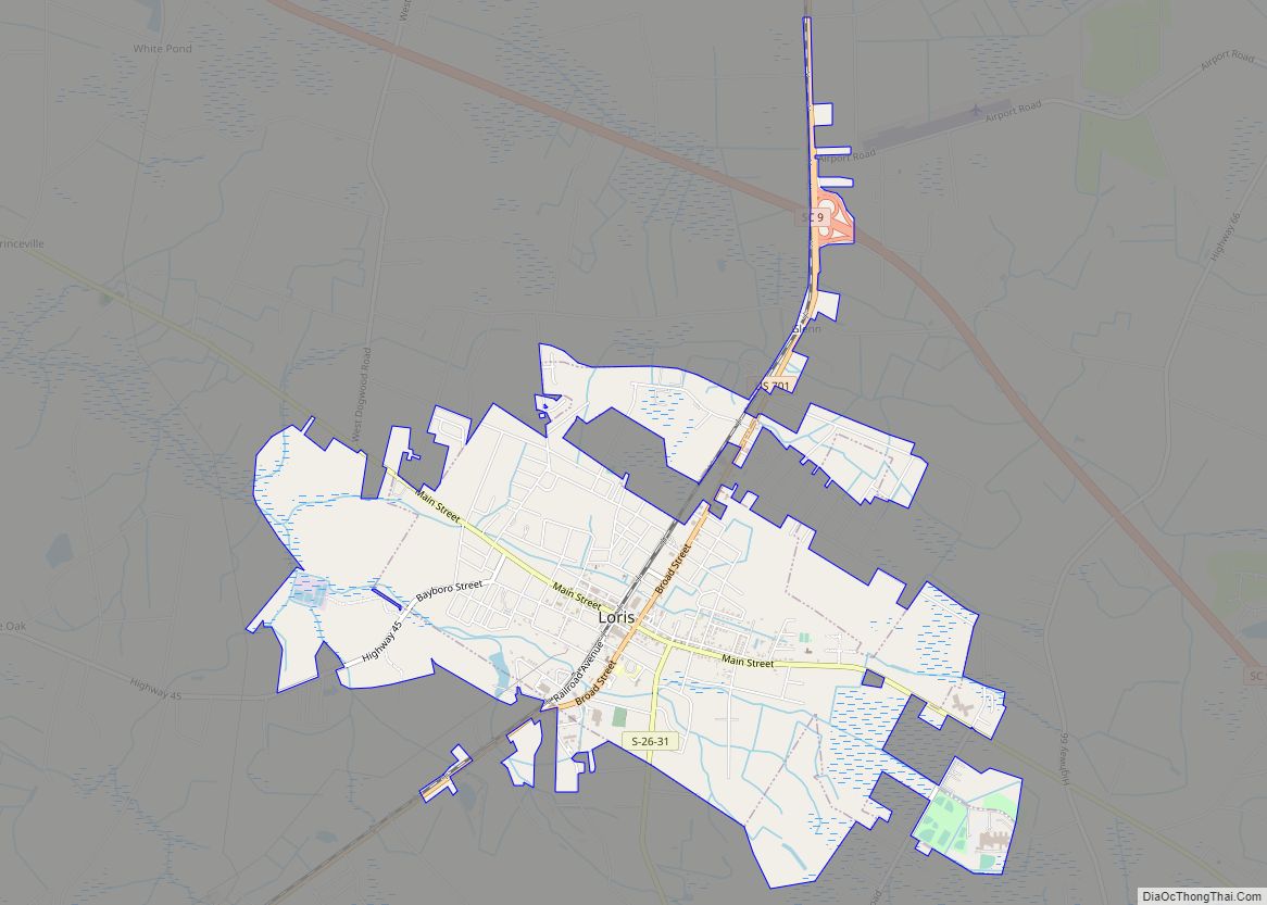
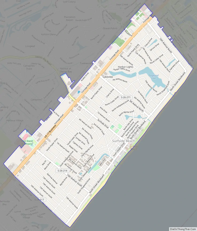
Surfside Beach Road Map
Surfside Beach city Satellite Map

Geography
According to the United States Census Bureau Surfside Beach has a total area of 2.0 square miles (5.1 km), of which 1.9 square miles (5.0 km) is land and 0.04 square mile (0.1 km) (1.02%) is water.
See also
Map of South Carolina State and its subdivision:- Abbeville
- Aiken
- Allendale
- Anderson
- Bamberg
- Barnwell
- Beaufort
- Berkeley
- Calhoun
- Charleston
- Cherokee
- Chester
- Chesterfield
- Clarendon
- Colleton
- Darlington
- Dillon
- Dorchester
- Edgefield
- Fairfield
- Florence
- Georgetown
- Greenville
- Greenwood
- Hampton
- Horry
- Jasper
- Kershaw
- Lancaster
- Laurens
- Lee
- Lexington
- Marion
- Marlboro
- McCormick
- Newberry
- Oconee
- Orangeburg
- Pickens
- Richland
- Saluda
- Spartanburg
- Sumter
- Union
- Williamsburg
- York
- Alabama
- Alaska
- Arizona
- Arkansas
- California
- Colorado
- Connecticut
- Delaware
- District of Columbia
- Florida
- Georgia
- Hawaii
- Idaho
- Illinois
- Indiana
- Iowa
- Kansas
- Kentucky
- Louisiana
- Maine
- Maryland
- Massachusetts
- Michigan
- Minnesota
- Mississippi
- Missouri
- Montana
- Nebraska
- Nevada
- New Hampshire
- New Jersey
- New Mexico
- New York
- North Carolina
- North Dakota
- Ohio
- Oklahoma
- Oregon
- Pennsylvania
- Rhode Island
- South Carolina
- South Dakota
- Tennessee
- Texas
- Utah
- Vermont
- Virginia
- Washington
- West Virginia
- Wisconsin
- Wyoming