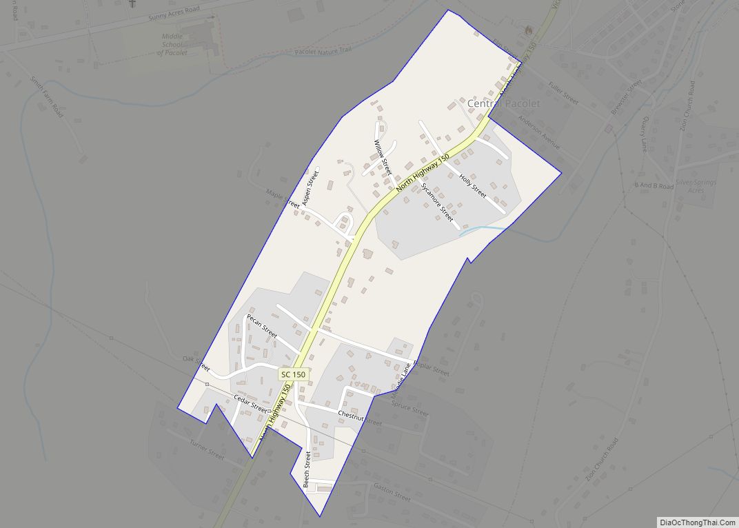
Central Pacolet is a town in Spartanburg County, South Carolina, United States, along the Pacolet River. The population was 216 at the 2010 census. Central Pacolet town overview: Name: Central Pacolet town LSAD Code: 43 LSAD Description: town (suffix) State: South Carolina County: Spartanburg County Elevation: 686 ft (209 m) Total Area: 0.24 sq mi (0.61 km²) Land Area: 0.24 sq mi ... Read more
South Carolina Cities and Places
Centerville is a census-designated place (CDP) in Anderson County, South Carolina, United States. The population was 6,586 at the 2010 census. Centerville CDP overview: Name: Centerville CDP LSAD Code: 57 LSAD Description: CDP (suffix) State: South Carolina County: Anderson County Elevation: 833 ft (254 m) Total Area: 5.94 sq mi (15.37 km²) Land Area: 5.91 sq mi (15.29 km²) Water Area: 0.03 sq mi (0.08 km²) ... Read more
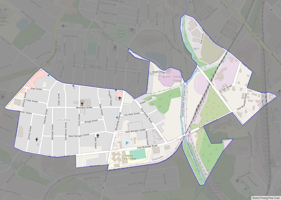
City View , a former incorporated city, is now a census-designated place (CDP) in Greenville County, South Carolina, United States. The population was 1,345 at the 2010 census, up from 1,254 in 2000. It is part of the Greenville–Mauldin–Easley Metropolitan Statistical Area. City View CDP overview: Name: City View CDP LSAD Code: 57 LSAD Description: ... Read more
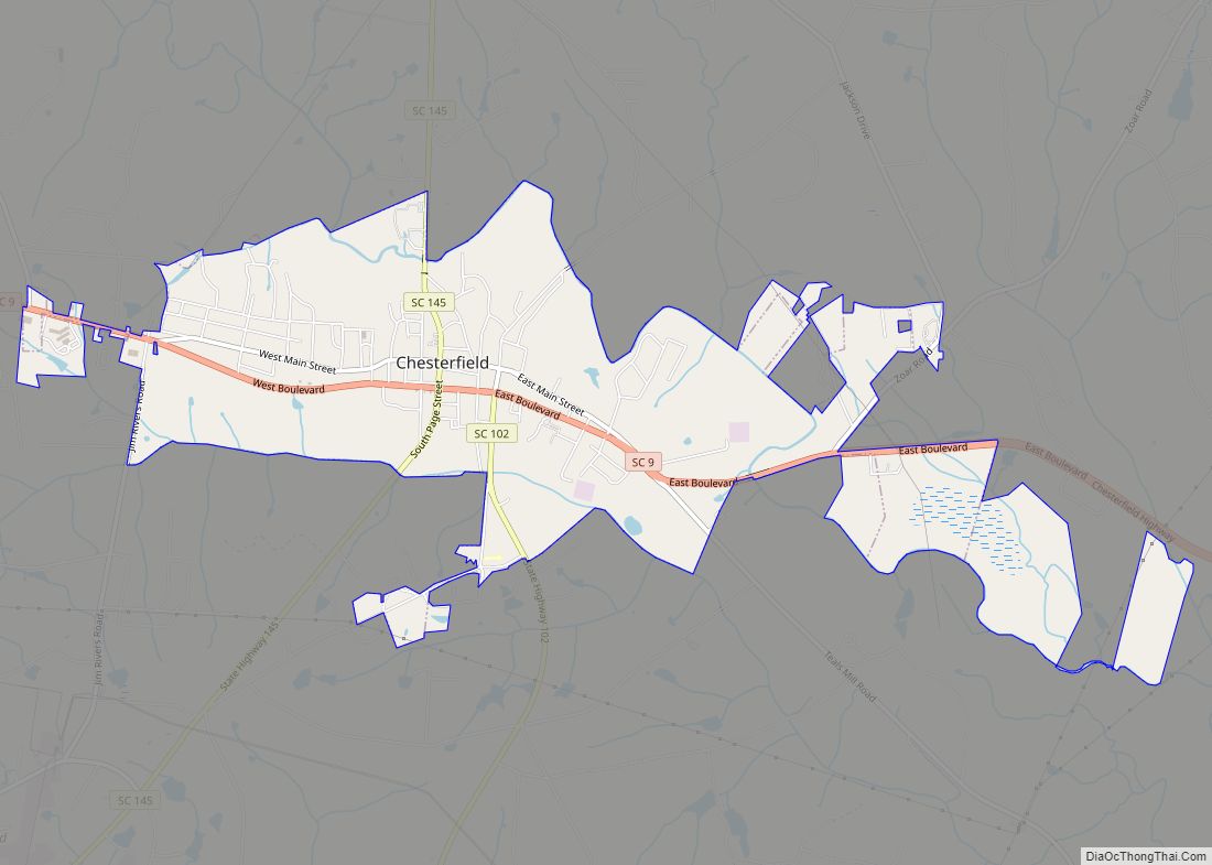
Chesterfield is a town in Chesterfield County, South Carolina, United States. The population was 1,472 at the 2010 census. It is the county seat of Chesterfield County. At the time of the 2010 census, Chesterfield was the least populous of all of South Carolina’s county seats. Chesterfield town overview: Name: Chesterfield town LSAD Code: 43 ... Read more
Chester is a small rural city in Chester County, South Carolina, United States. The population was 5,607 at the 2010 census, down from 6,476 at the 2000 census. It is the county seat of Chester County. Chester city overview: Name: Chester city LSAD Code: 25 LSAD Description: city (suffix) State: South Carolina County: Chester County ... Read more
Conway is a city in Horry County, South Carolina, United States. The population was 24,849 at the 2020 census, up from 17,103 in 2010 census. It is the county seat of Horry County and is part of the Myrtle Beach metropolitan area. It is the home of Coastal Carolina University. Numerous buildings and structures located ... Read more
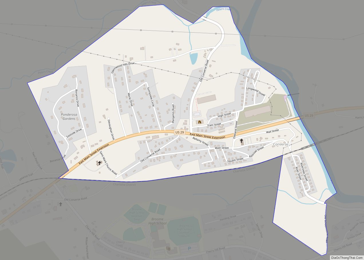
Converse is a Census-designated place located in Spartanburg County in the U.S. State of South Carolina. According to the 2010 United States Census, the population was 608. Converse CDP overview: Name: Converse CDP LSAD Code: 57 LSAD Description: CDP (suffix) State: South Carolina County: Spartanburg County Elevation: 742 ft (226 m) Total Area: 0.70 sq mi (1.82 km²) Land Area: ... Read more
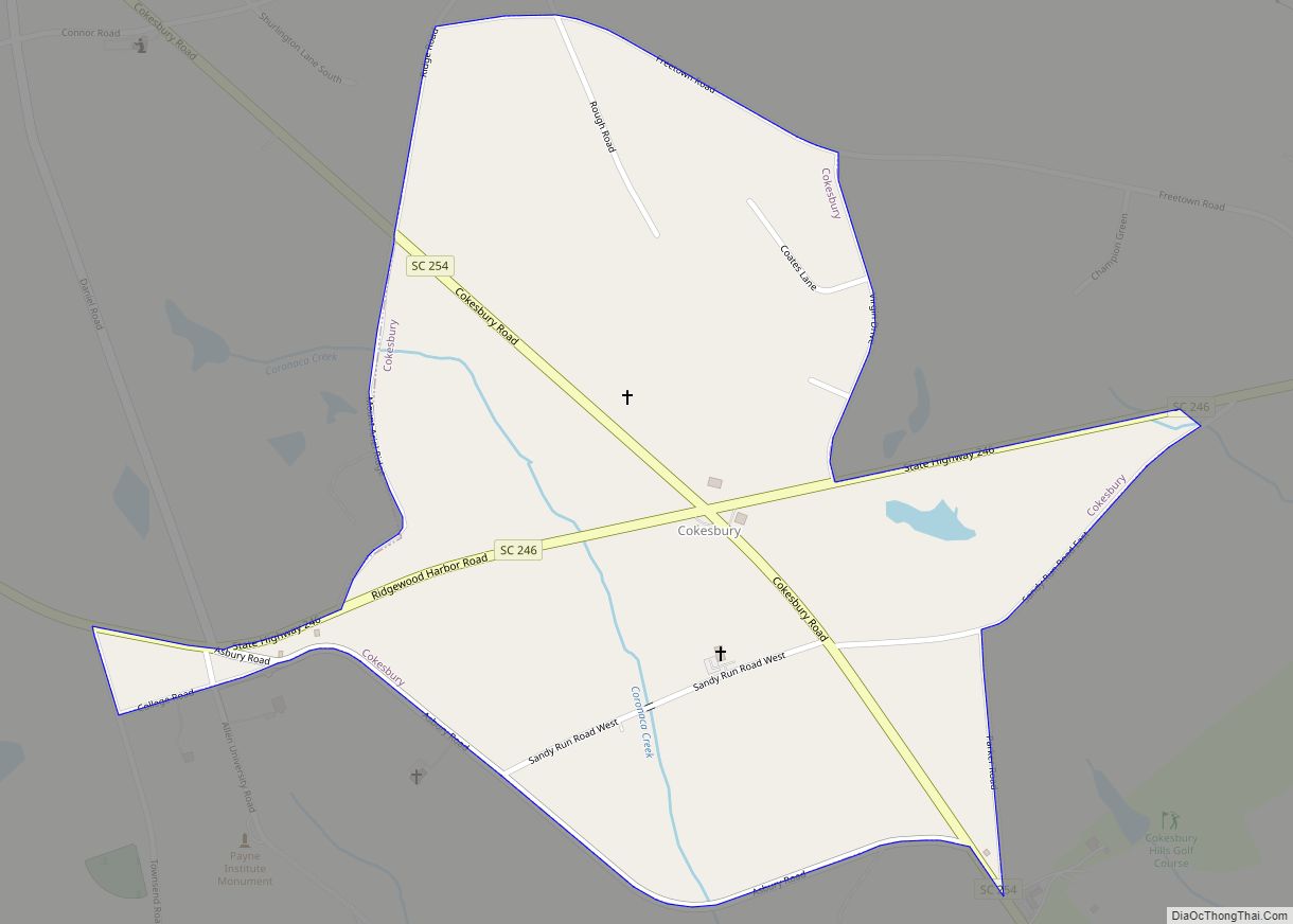
Cokesbury is a census-designated place (CDP) in Greenwood County, South Carolina, United States. The population was 215 at the 2010 census, down from 279 in 2000. Cokesbury CDP overview: Name: Cokesbury CDP LSAD Code: 57 LSAD Description: CDP (suffix) State: South Carolina County: Greenwood County Elevation: 633 ft (193 m) Total Area: 0.59 sq mi (1.54 km²) Land Area: 0.59 sq mi ... Read more
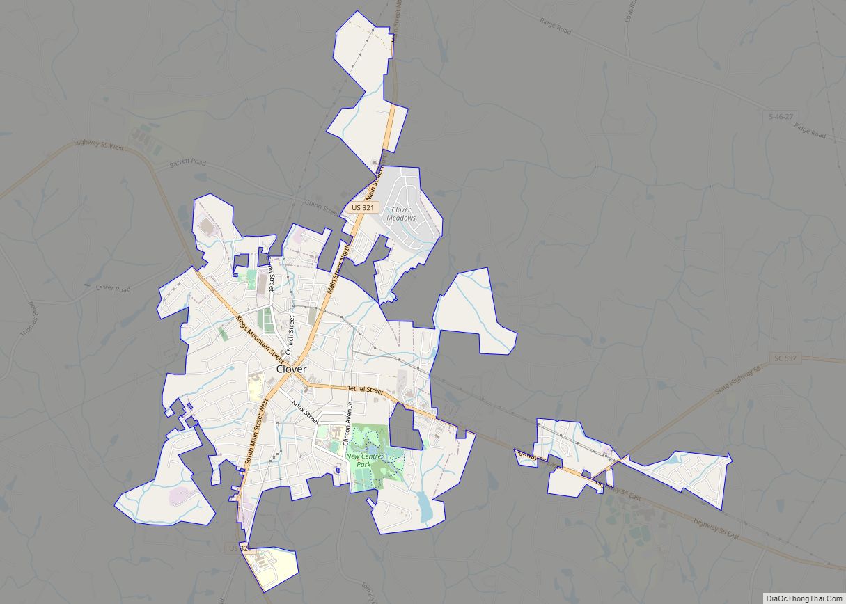
Clover is a town in York County, South Carolina, United States. It is located in the greater Charlotte metropolitan area. As of 2020, the population was at 6,671 within the town limits. Clover is twinned with the Northern Irish town of Larne on County Antrim’s East Coast. Clover town overview: Name: Clover town LSAD Code: ... Read more
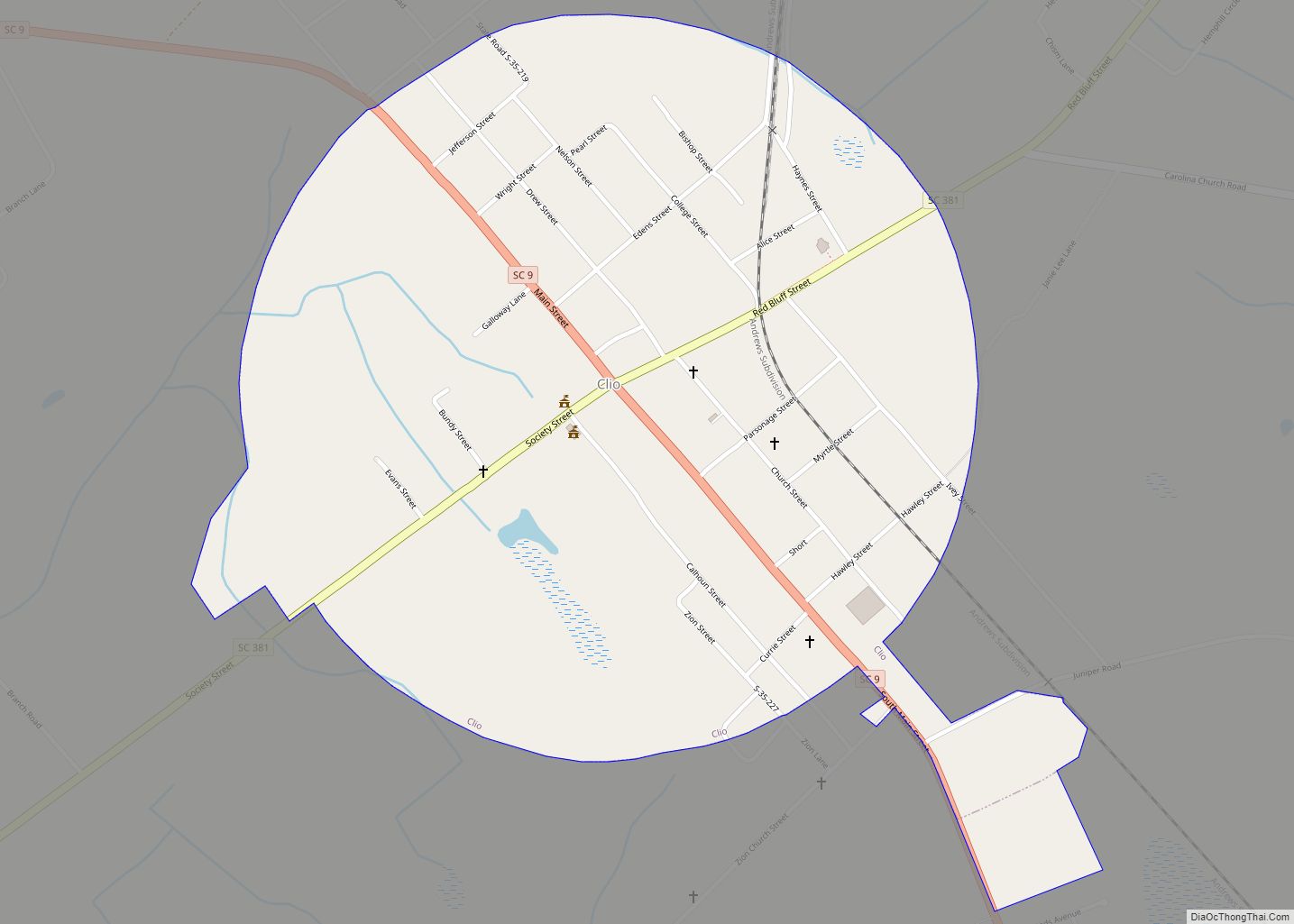
Clio (pronounced CLY-oh) is a town in Marlboro County, South Carolina, United States. The population was 726 at the 2010 census. Marlboro School of Discovery is a magnet school in Clio, South Carolina and is part of the Marlboro County School District. Clio town overview: Name: Clio town LSAD Code: 43 LSAD Description: town (suffix) ... Read more
Clinton is a city in Laurens County, South Carolina, United States. The population was 8,490 as of the 2010 census. It is part of the Greenville–Mauldin–Easley Metropolitan Statistical Area in upstate South Carolina. Clinton is the home of Presbyterian College. Clinton city overview: Name: Clinton city LSAD Code: 25 LSAD Description: city (suffix) State: South ... Read more
Clifton is a Census-designated place located in Spartanburg County in the U.S. State of South Carolina. According to the 2010 United States Census, the population was 541. Clifton CDP overview: Name: Clifton CDP LSAD Code: 57 LSAD Description: CDP (suffix) State: South Carolina County: Spartanburg County Elevation: 669 ft (204 m) Total Area: 1.14 sq mi (2.95 km²) Land Area: ... Read more
