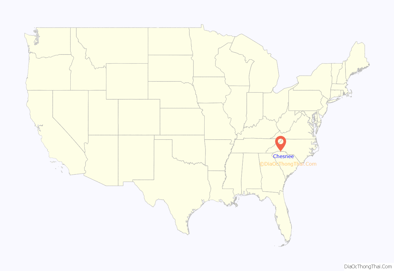
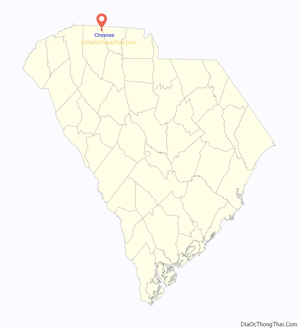
Chesnee is a city in Spartanburg and Cherokee counties, in the U.S. state of South Carolina. The population was 868 as of the 2010 census.
| Name: | Chesnee city |
|---|---|
| LSAD Code: | 25 |
| LSAD Description: | city (suffix) |
| State: | South Carolina |
| County: | Cherokee County, Spartanburg County |
| Elevation: | 892 ft (272 m) |
| Total Area: | 1.07 sq mi (2.77 km²) |
| Land Area: | 1.07 sq mi (2.77 km²) |
| Water Area: | 0.00 sq mi (0.00 km²) |
| Total Population: | 829 |
| Population Density: | 774.04/sq mi (298.92/km²) |
| ZIP code: | 29323 |
| Area code: | 864 |
| FIPS code: | 4514050 |
| GNISfeature ID: | 1221550 |
| Website: | www.cityofchesnee.org |
Online Interactive Map
Click on ![]() to view map in "full screen" mode.
to view map in "full screen" mode.
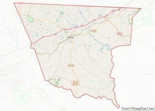
Chesnee location map. Where is Chesnee city?
History
In the early 20th century, the Chesnee Land Company bought a sizeable acreage at what is now Chesnee. A leading member of the company was John B. Cleveland of Spartanburg. Cleveland named the company – and later the town – after his great-grandmother, Margaret Chesnee, who was born in Scotland. She married Alexander Vernon, also born in Scotland. The Clinchfield Railroad ran an excursion train over the newly laid rails to Spartanburg on October 23, 1909.
The Chesnee post office was established in 1910, and the town was chartered in 1911. Early businesses included a hotel, pharmacy, cotton mill, and lumber mill.
The Cowpens National Battlefield and Zeno Hicks House are listed on the National Register of Historic Places.
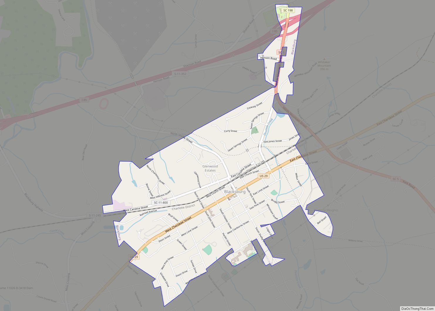
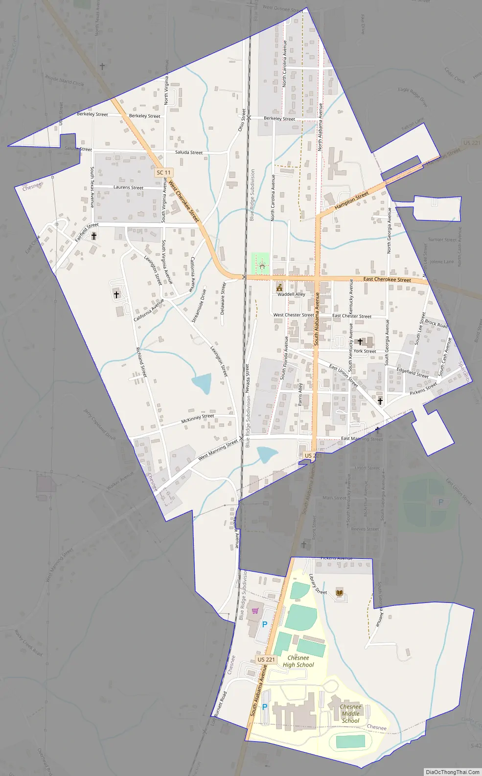
Chesnee Road Map
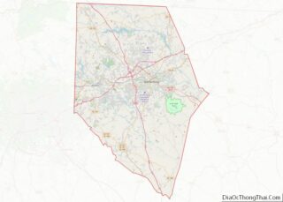
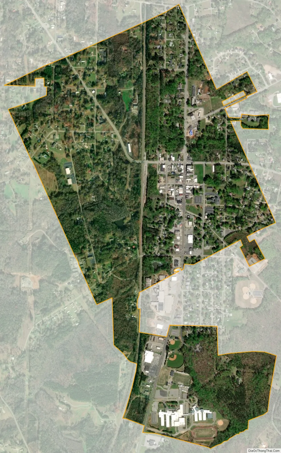
Chesnee city Satellite Map
Geography
Chesnee is located near the northeast corner of Spartanburg County, and a small part of the city extends east into Cherokee County. U.S. Route 221 passes through the city as Alabama Avenue and Hampton Street, leading north 18 miles (29 km) to Rutherfordton, North Carolina, and south 16 miles (26 km) to Spartanburg. South Carolina Highway 11 (Cherokee Street) crosses US 221 in the center of town and leads west 19 miles (31 km) to Campobello and east past Cowpens National Battlefield 14 miles (23 km) to Gaffney.
According to the United States Census Bureau, Chesnee has a total area of 1.14 square miles (2.94 km), all land.
See also
Map of South Carolina State and its subdivision:- Abbeville
- Aiken
- Allendale
- Anderson
- Bamberg
- Barnwell
- Beaufort
- Berkeley
- Calhoun
- Charleston
- Cherokee
- Chester
- Chesterfield
- Clarendon
- Colleton
- Darlington
- Dillon
- Dorchester
- Edgefield
- Fairfield
- Florence
- Georgetown
- Greenville
- Greenwood
- Hampton
- Horry
- Jasper
- Kershaw
- Lancaster
- Laurens
- Lee
- Lexington
- Marion
- Marlboro
- McCormick
- Newberry
- Oconee
- Orangeburg
- Pickens
- Richland
- Saluda
- Spartanburg
- Sumter
- Union
- Williamsburg
- York
- Alabama
- Alaska
- Arizona
- Arkansas
- California
- Colorado
- Connecticut
- Delaware
- District of Columbia
- Florida
- Georgia
- Hawaii
- Idaho
- Illinois
- Indiana
- Iowa
- Kansas
- Kentucky
- Louisiana
- Maine
- Maryland
- Massachusetts
- Michigan
- Minnesota
- Mississippi
- Missouri
- Montana
- Nebraska
- Nevada
- New Hampshire
- New Jersey
- New Mexico
- New York
- North Carolina
- North Dakota
- Ohio
- Oklahoma
- Oregon
- Pennsylvania
- Rhode Island
- South Carolina
- South Dakota
- Tennessee
- Texas
- Utah
- Vermont
- Virginia
- Washington
- West Virginia
- Wisconsin
- Wyoming