Clinton is a city in Laurens County, South Carolina, United States. The population was 8,490 as of the 2010 census. It is part of the Greenville–Mauldin–Easley Metropolitan Statistical Area in upstate South Carolina. Clinton is the home of Presbyterian College.
| Name: | Clinton city |
|---|---|
| LSAD Code: | 25 |
| LSAD Description: | city (suffix) |
| State: | South Carolina |
| County: | Laurens County |
| Elevation: | 676 ft (206 m) |
| Total Area: | 10.45 sq mi (27.05 km²) |
| Land Area: | 10.38 sq mi (26.89 km²) |
| Water Area: | 0.06 sq mi (0.16 km²) |
| Total Population: | 7,633 |
| Population Density: | 735.07/sq mi (283.82/km²) |
| ZIP code: | 29325 |
| Area code: | 864 |
| FIPS code: | 4515295 |
| GNISfeature ID: | 1247319 |
| Website: | www.cityofclintonsc.com |
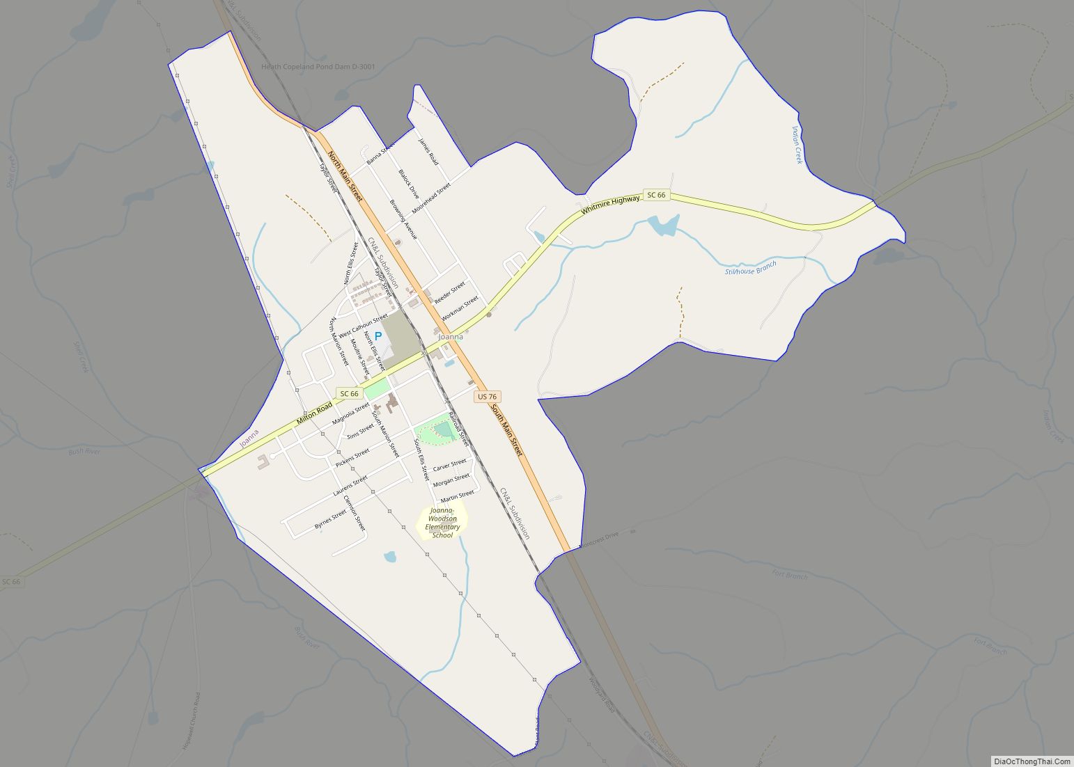
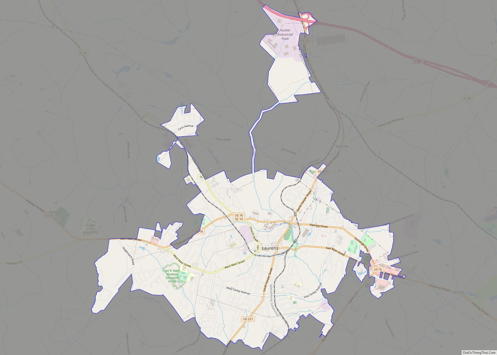
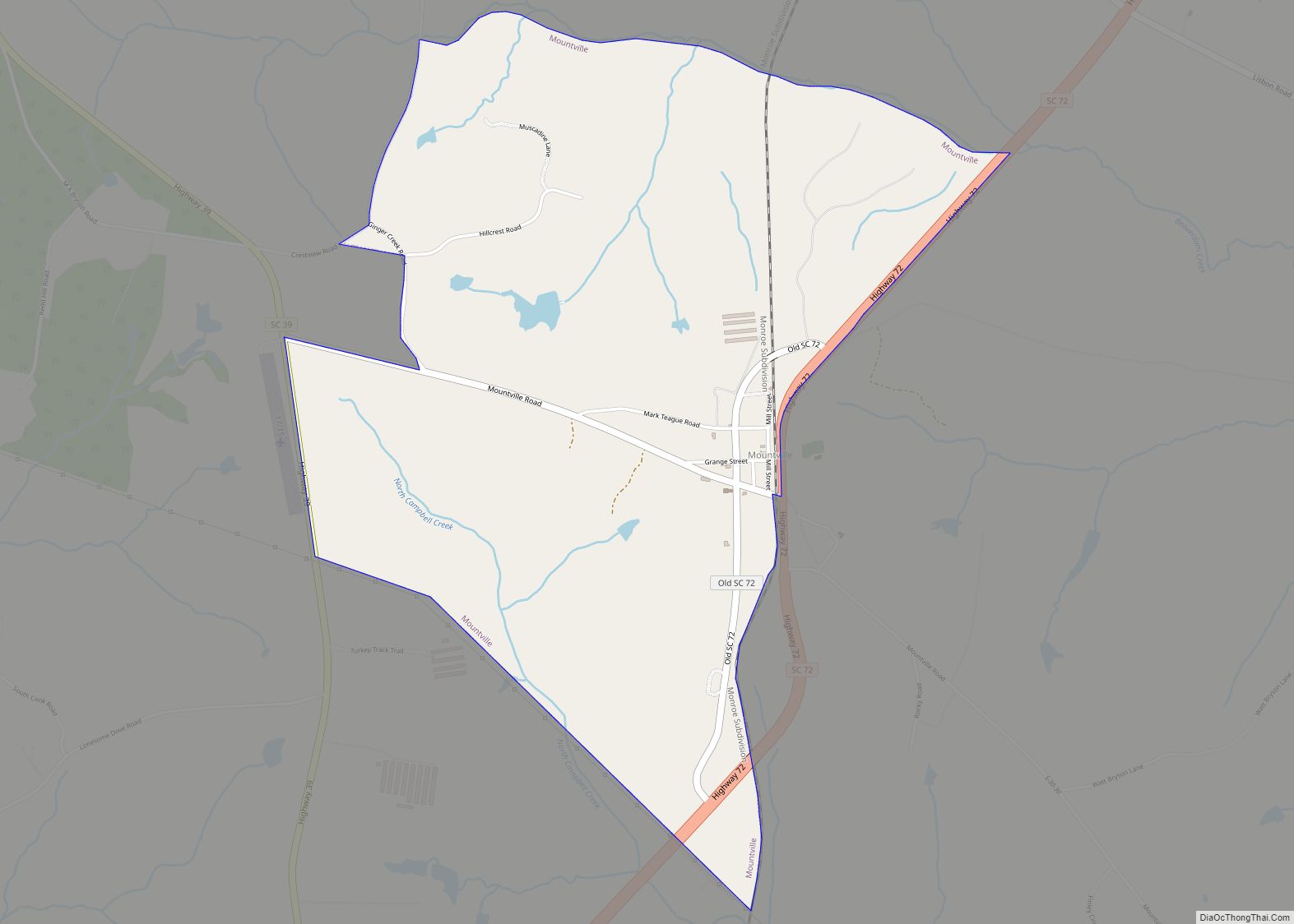
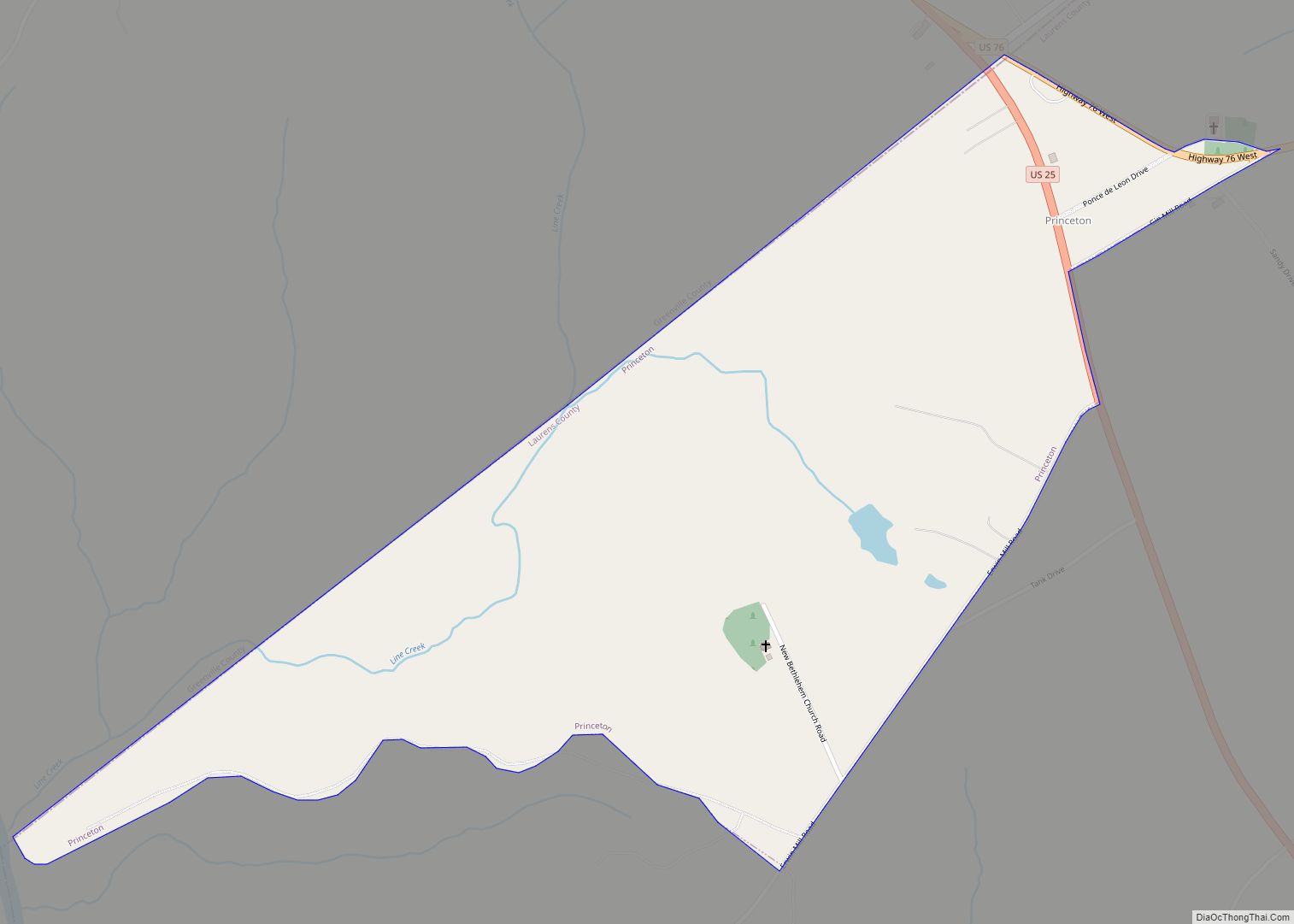
Online Interactive Map
Click on ![]() to view map in "full screen" mode.
to view map in "full screen" mode.
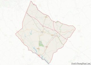
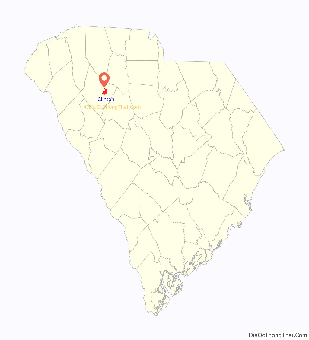
Clinton location map. Where is Clinton city?

History
The Cherokee Indians were Clinton’s original inhabitants. The first settler to inhabit the area was John Duncan, a native of Aberdeen, Scotland, who arrived in 1752 from Pennsylvania and settled along a creek between the present-day towns of Clinton and Whitmire.
Scots-Irish immigrants from Pennsylvania, Maryland, and Virginia became the predominant settlers in the area in the two decades before the American Revolutionary War and took active part in a Revolutionary War battle in 1780 at nearby Musgrove Mill.
As late as 1852, the town was called Five Points because it arose at the intersection of four major roads and the railroad. It was named Clinton after Henry Clinton Young, a lawyer from the county seat of Laurens, who planned the first roads in the area.
As the railroad began to grow, so did the town, and more plots of land were developed around the railroad. With the population’s growth came the establishment of the First Presbyterian Church in 1855.
In 1895, “factory fever” had struck the town of Clinton. This came with the establishment of the Clinton Cotton Mill in 1896 by Mercer Silas Bailey, owner of the town’s leading dry goods store. Lydia Cotton Mill, also owned by the Baileys and their descendants, followed in 1902. In 1933 there is a documented case of the lynching of an African American 35-year-old Norris Dendy in Clinton after he was arrested for killing a white man.
The mills continued to be a vital source of prosperity for Clinton until their closure in 2001 brought years of economic hardship from which the area is still struggling to emerge.
The Clinton Commercial Historic District, Duncan’s Creek Presbyterian Church, and Thornwell-Presbyterian College Historic District are listed on the National Register of Historic Places.
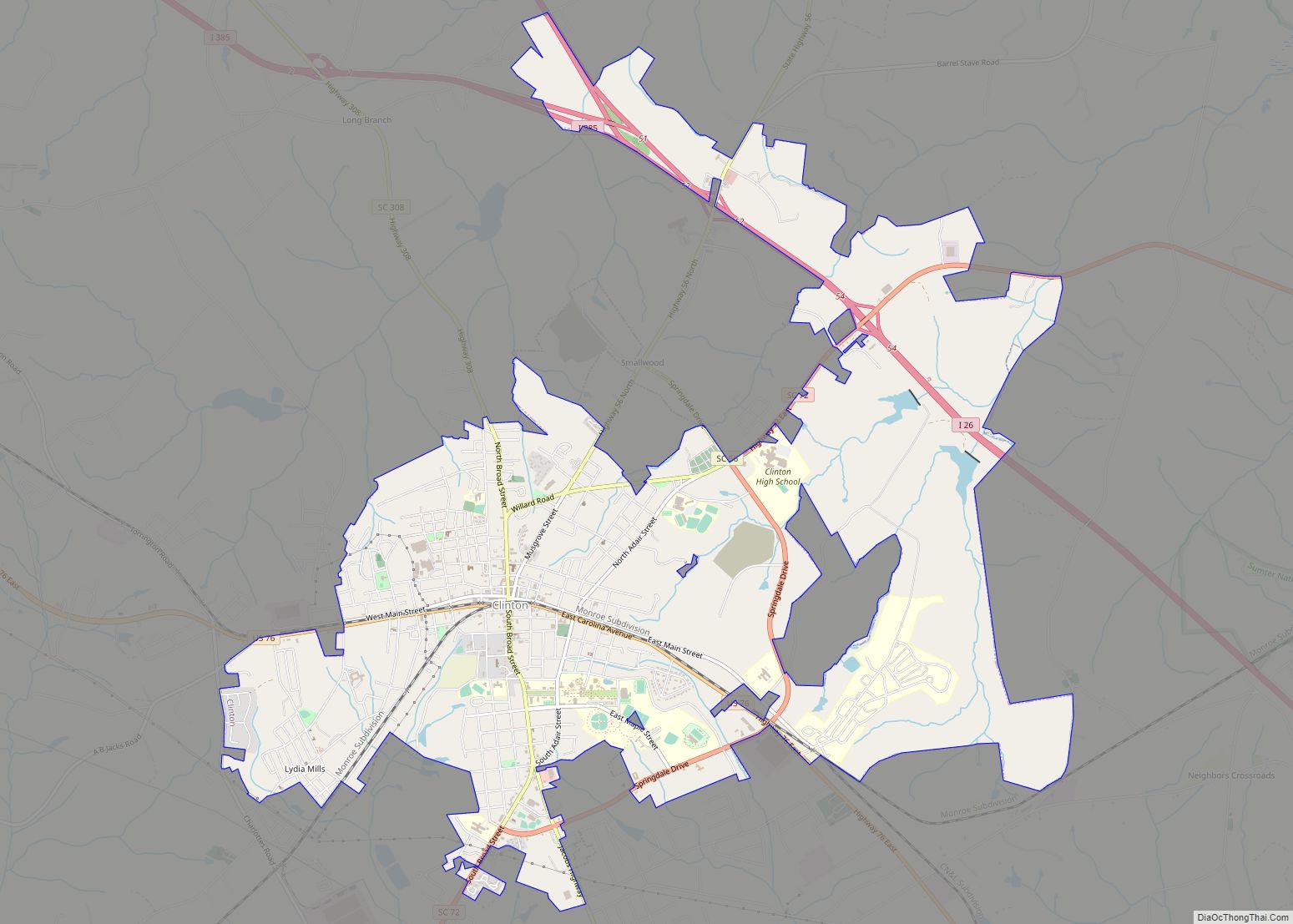
Clinton Road Map
Clinton city Satellite Map

Geography
Clinton is located at 34°28′17″N 81°52′30″W / 34.47139°N 81.87500°W / 34.47139; -81.87500 (34.471257, -81.875023). The city is concentrated around the intersection of U.S. Route 76 and South Carolina Highway 72, south of Spartanburg and northwest of Columbia. Interstate 26 passes through the eastern portions of Clinton, and intersects Interstate 385 in the city’s northern outskirts.
According to the United States Census Bureau, the city has a total area of 9.1 square miles (24 km), of which 9.1 square miles (24 km) is land and 0.1 square miles (0.26 km) (0.55%) is water.
See also
Map of South Carolina State and its subdivision:- Abbeville
- Aiken
- Allendale
- Anderson
- Bamberg
- Barnwell
- Beaufort
- Berkeley
- Calhoun
- Charleston
- Cherokee
- Chester
- Chesterfield
- Clarendon
- Colleton
- Darlington
- Dillon
- Dorchester
- Edgefield
- Fairfield
- Florence
- Georgetown
- Greenville
- Greenwood
- Hampton
- Horry
- Jasper
- Kershaw
- Lancaster
- Laurens
- Lee
- Lexington
- Marion
- Marlboro
- McCormick
- Newberry
- Oconee
- Orangeburg
- Pickens
- Richland
- Saluda
- Spartanburg
- Sumter
- Union
- Williamsburg
- York
- Alabama
- Alaska
- Arizona
- Arkansas
- California
- Colorado
- Connecticut
- Delaware
- District of Columbia
- Florida
- Georgia
- Hawaii
- Idaho
- Illinois
- Indiana
- Iowa
- Kansas
- Kentucky
- Louisiana
- Maine
- Maryland
- Massachusetts
- Michigan
- Minnesota
- Mississippi
- Missouri
- Montana
- Nebraska
- Nevada
- New Hampshire
- New Jersey
- New Mexico
- New York
- North Carolina
- North Dakota
- Ohio
- Oklahoma
- Oregon
- Pennsylvania
- Rhode Island
- South Carolina
- South Dakota
- Tennessee
- Texas
- Utah
- Vermont
- Virginia
- Washington
- West Virginia
- Wisconsin
- Wyoming