Chester is a small rural city in Chester County, South Carolina, United States. The population was 5,607 at the 2010 census, down from 6,476 at the 2000 census. It is the county seat of Chester County.
| Name: | Chester city |
|---|---|
| LSAD Code: | 25 |
| LSAD Description: | city (suffix) |
| State: | South Carolina |
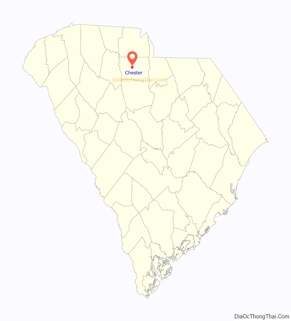
| County: | Chester County |
| Elevation: | 541 ft (165 m) |
| Total Area: | 3.31 sq mi (8.56 km²) |
| Land Area: | 3.31 sq mi (8.56 km²) |
| Water Area: | 0.00 sq mi (0.00 km²) |
| Total Population: | 5,269 |
| Population Density: | 1,593.77/sq mi (615.42/km²) |
| ZIP code: | 29706 |
| Area code: | 803, 839 |
| FIPS code: | 4514095 |
| GNISfeature ID: | 1247275 |
| Website: | www.chestersc.org |
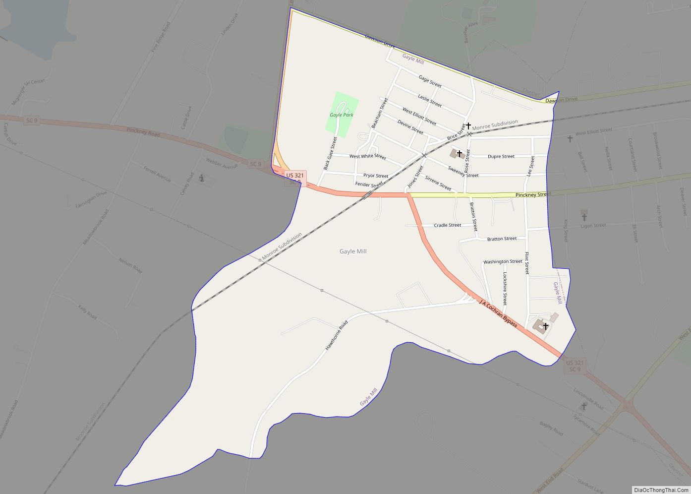
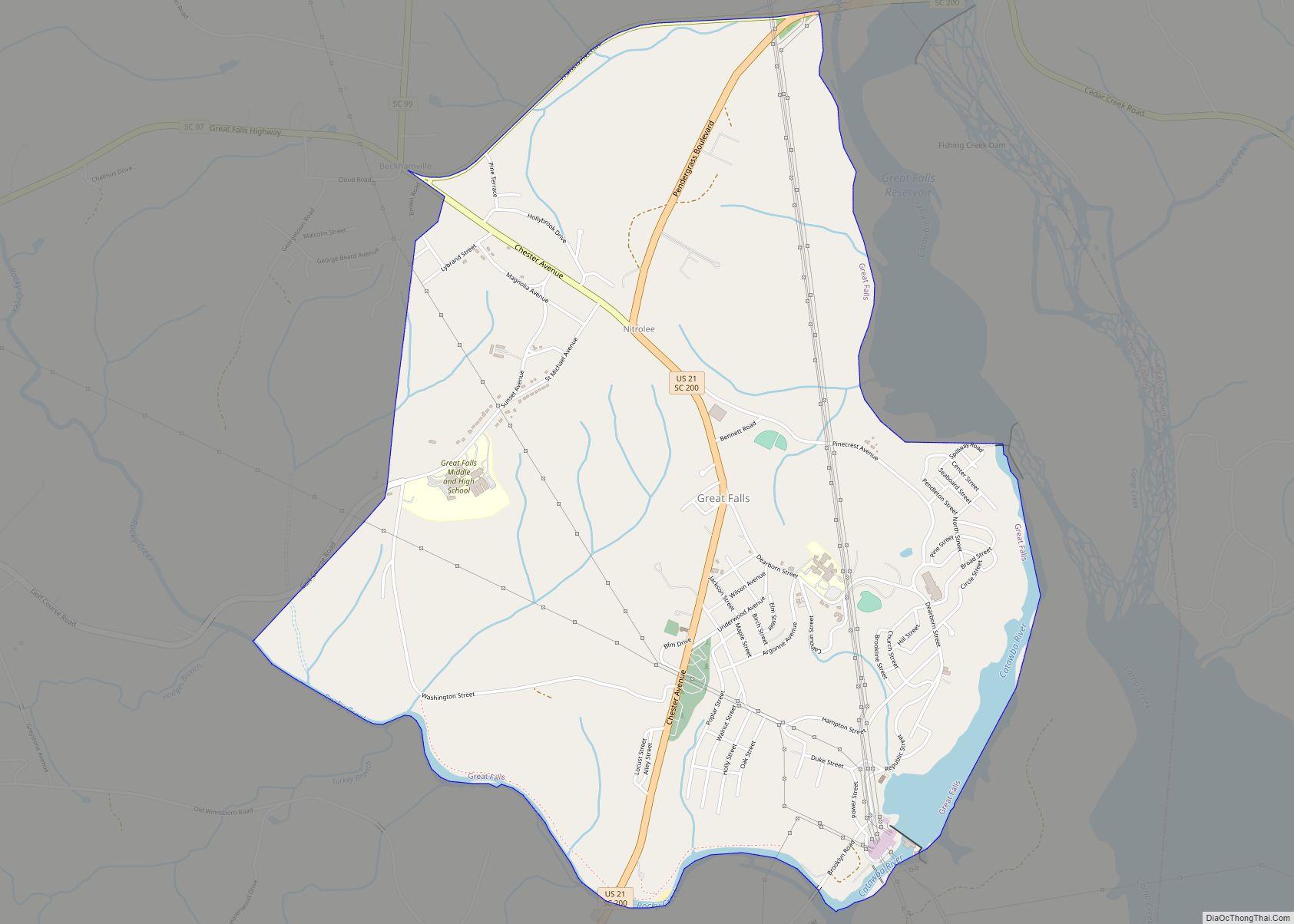
Online Interactive Map
Click on ![]() to view map in "full screen" mode.
to view map in "full screen" mode.
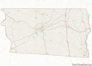
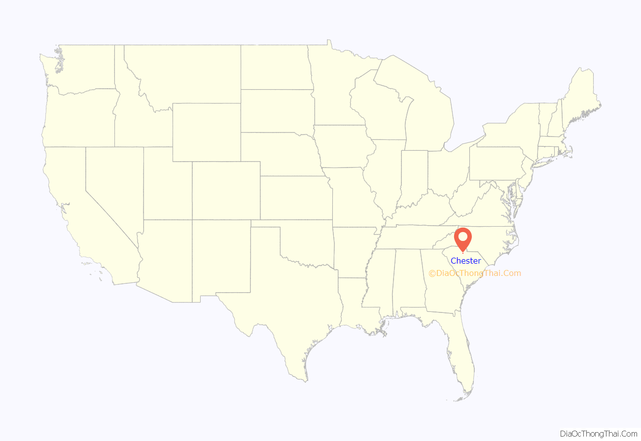
Chester location map. Where is Chester city?
History
While being transported to Richmond, Virginia, for his trial for treason, former Vice-President Aaron Burr passed through Chester. Burr “flung himself from his horse and cried for a rescue, but the officer commanding the escort seized him, threw him back like a child into the saddle, and marched on.” The large stone he stood on has been inscribed and is preserved in the town center, and is known locally as the Aaron Burr Rock.
Chester was home to Brainerd Institute, a school for African American children.
The Catholic Presbyterian Church, Chester City Hall and Opera House, Chester Historic District, Colvin-Fant-Durham Farm Complex, Fishdam Ford, Kumler Hall, Lewis Inn, and McCollum Mound are listed on the National Register of Historic Places.
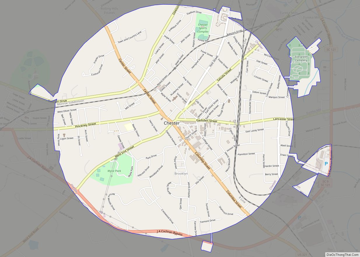
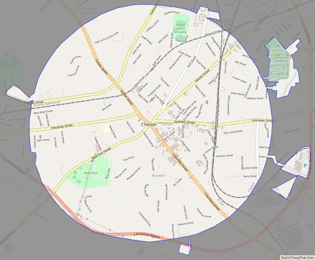
Chester Road Map
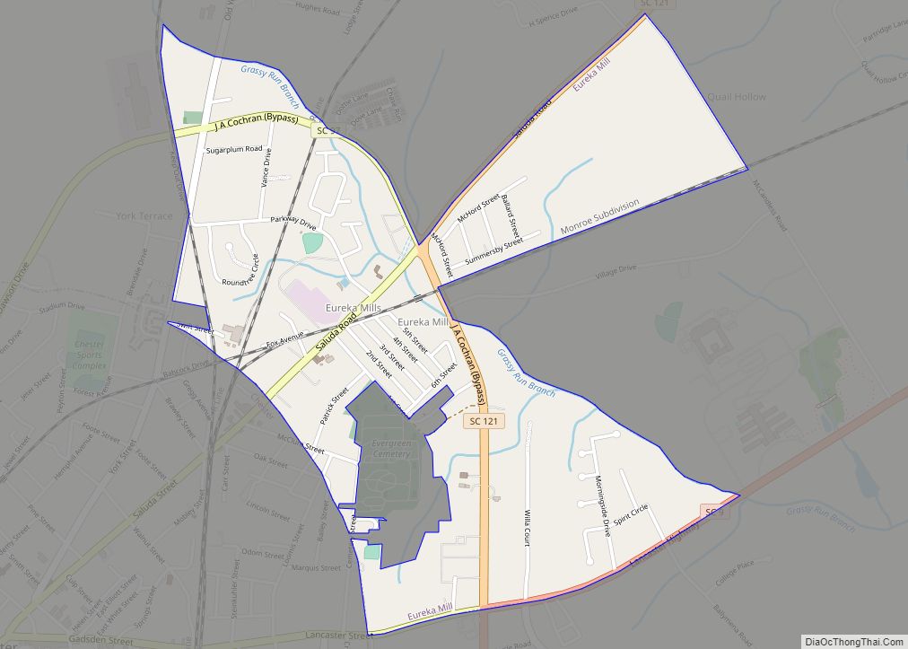
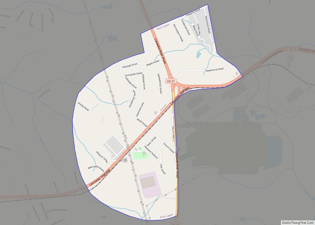
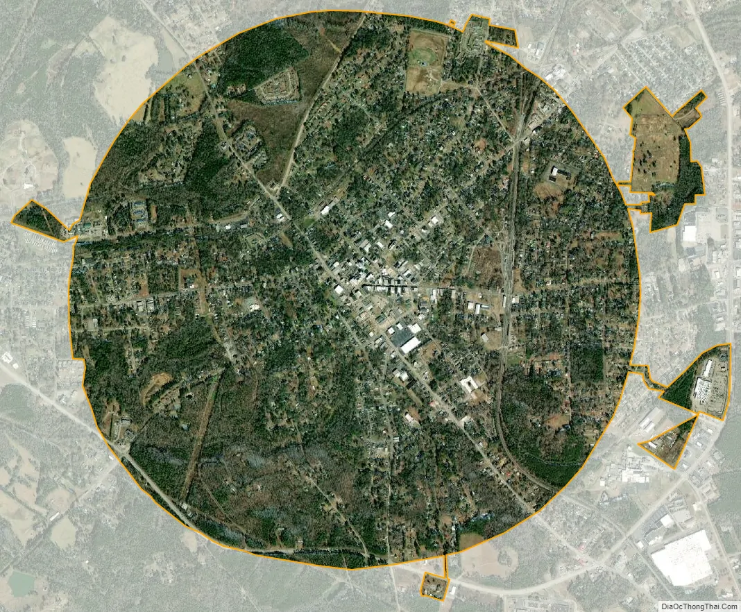
Chester city Satellite Map
Geography
Chester is located just west of the center of Chester County at 34°42′20″N 81°12′42″W / 34.70556°N 81.21167°W / 34.70556; -81.21167 (34.705553, -81.211638). U.S. Route 321 bypasses the city to the west and the south, leading north 22 miles (35 km) to York and south 25 miles (40 km) to Winnsboro. South Carolina Highway 9 passes through the city center and leads east 11 miles (18 km) to Interstate 77 near Richburg and west 49 miles (79 km) to Spartanburg. Highways 72 and 121 lead northeast 19 miles (31 km) to Rock Hill and southwest 28 miles (45 km) to Whitmire.
According to the United States Census Bureau, the city has a total area of 3.3 square miles (8.5 km), all of it land.
See also
Map of South Carolina State and its subdivision:- Abbeville
- Aiken
- Allendale
- Anderson
- Bamberg
- Barnwell
- Beaufort
- Berkeley
- Calhoun
- Charleston
- Cherokee
- Chester
- Chesterfield
- Clarendon
- Colleton
- Darlington
- Dillon
- Dorchester
- Edgefield
- Fairfield
- Florence
- Georgetown
- Greenville
- Greenwood
- Hampton
- Horry
- Jasper
- Kershaw
- Lancaster
- Laurens
- Lee
- Lexington
- Marion
- Marlboro
- McCormick
- Newberry
- Oconee
- Orangeburg
- Pickens
- Richland
- Saluda
- Spartanburg
- Sumter
- Union
- Williamsburg
- York
- Alabama
- Alaska
- Arizona
- Arkansas
- California
- Colorado
- Connecticut
- Delaware
- District of Columbia
- Florida
- Georgia
- Hawaii
- Idaho
- Illinois
- Indiana
- Iowa
- Kansas
- Kentucky
- Louisiana
- Maine
- Maryland
- Massachusetts
- Michigan
- Minnesota
- Mississippi
- Missouri
- Montana
- Nebraska
- Nevada
- New Hampshire
- New Jersey
- New Mexico
- New York
- North Carolina
- North Dakota
- Ohio
- Oklahoma
- Oregon
- Pennsylvania
- Rhode Island
- South Carolina
- South Dakota
- Tennessee
- Texas
- Utah
- Vermont
- Virginia
- Washington
- West Virginia
- Wisconsin
- Wyoming