Sioux Falls (/ˌsuː ˈfɔːlz/) is the most populous city in the U.S. state of South Dakota and the 130th-most populous city in the United States. It is the county seat of Minnehaha County and also extends into Lincoln County to the south, which continues up to the Iowa state line. As of 2020, Sioux Falls had a population of 192,517. The Sioux Falls metro area accounts for more than 30% of the state’s population. Chartered in 1856 on the banks of the Big Sioux River, the city is situated in the rolling hills at the junction of interstates 29 and 90.
| Name: | Sioux Falls city |
|---|---|
| LSAD Code: | 25 |
| LSAD Description: | city (suffix) |
| State: | South Dakota |
| County: | Lincoln County, Minnehaha County |
| Elevation: | 1,470 ft (448 m) |
| Land Area: | 80.64 sq mi (208.87 km²) |
| Water Area: | 0.54 sq mi (1.40 km²) |
| Population Density: | 2,387.25/sq mi (921.72/km²) |
| ZIP code: | 57101, 57103-57110, 57117-57118, 57186, 57188-57189, 57192-57193, 57197-57198 |
| Area code: | 605 |
| FIPS code: | 4659020 |
| GNISfeature ID: | 1267670 |
| Website: | siouxfalls.org |
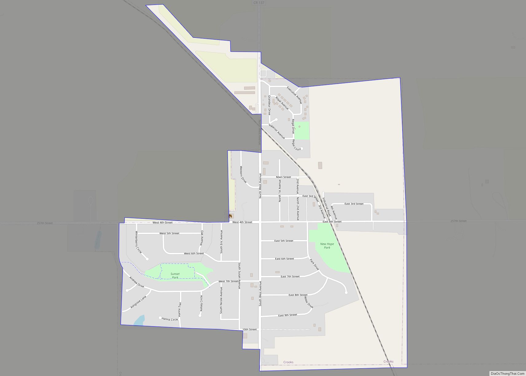
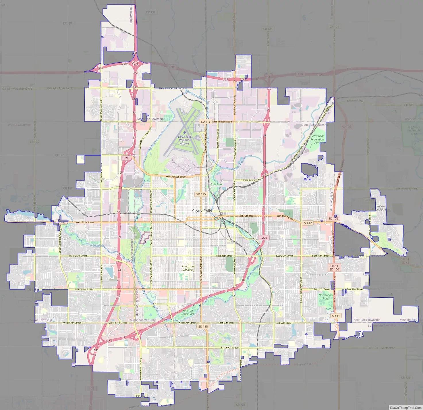
Our interactive Sioux Falls map is provided by Google Maps and features roads, highways, and points of interest. Whether you’re looking for a place to eat, shop, or explore, this map has everything you need.
Explore Sioux Falls with our interactive map. Find roads, highways, and points of interest in the city. You can also use the map to plan your tour around the city. With the help of this map, you can easily find your way around the city and discover all the amazing things it has to offer.
Online Interactive Map
Click on ![]() to view map in "full screen" mode.
to view map in "full screen" mode.
If you’re looking for a place to relax and enjoy the natural beauty of Sioux Falls, it’s time to check out our interactive map. This map includes all of the information you need to find everything you need in town, as well as a range of attractions and businesses like hotels, restaurants, and shopping.
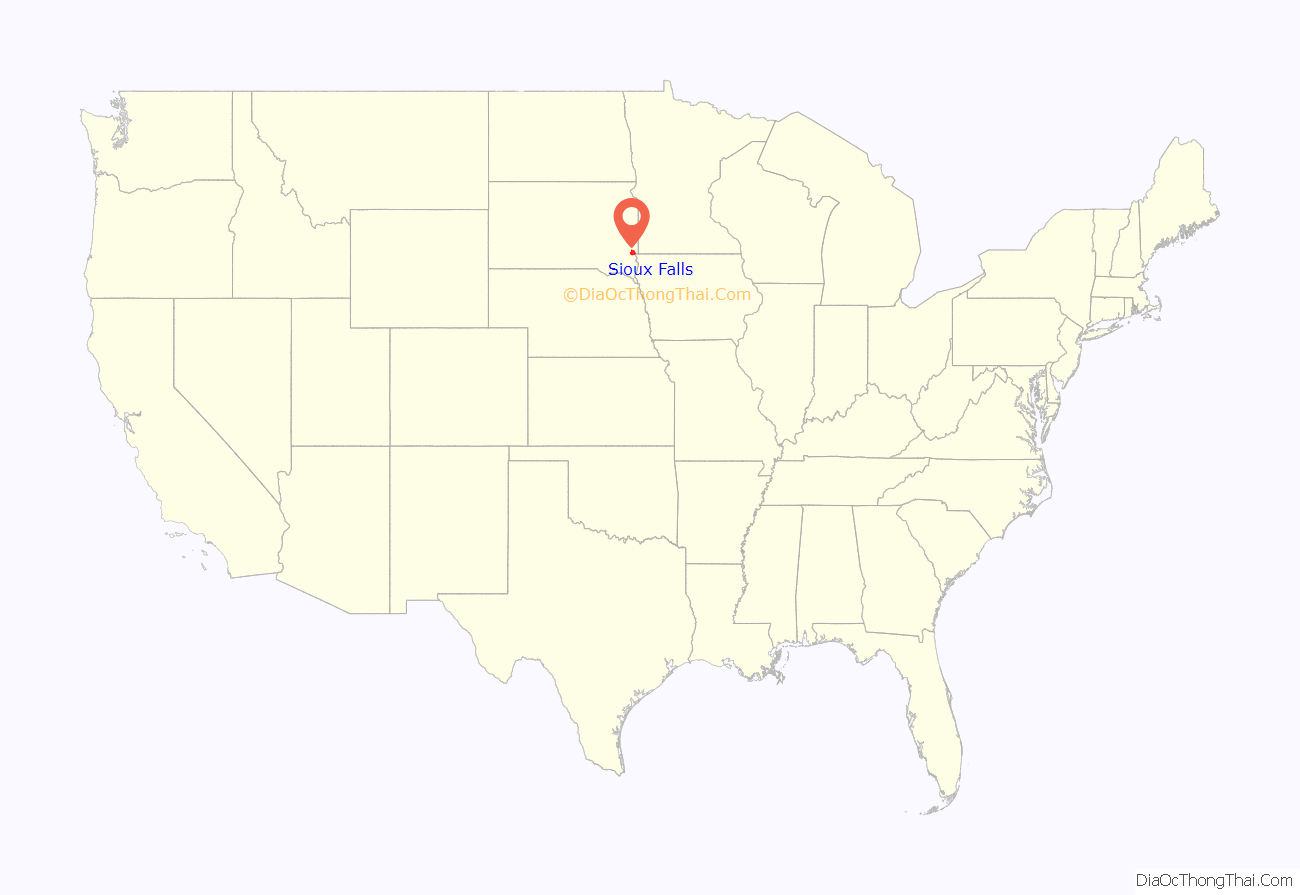
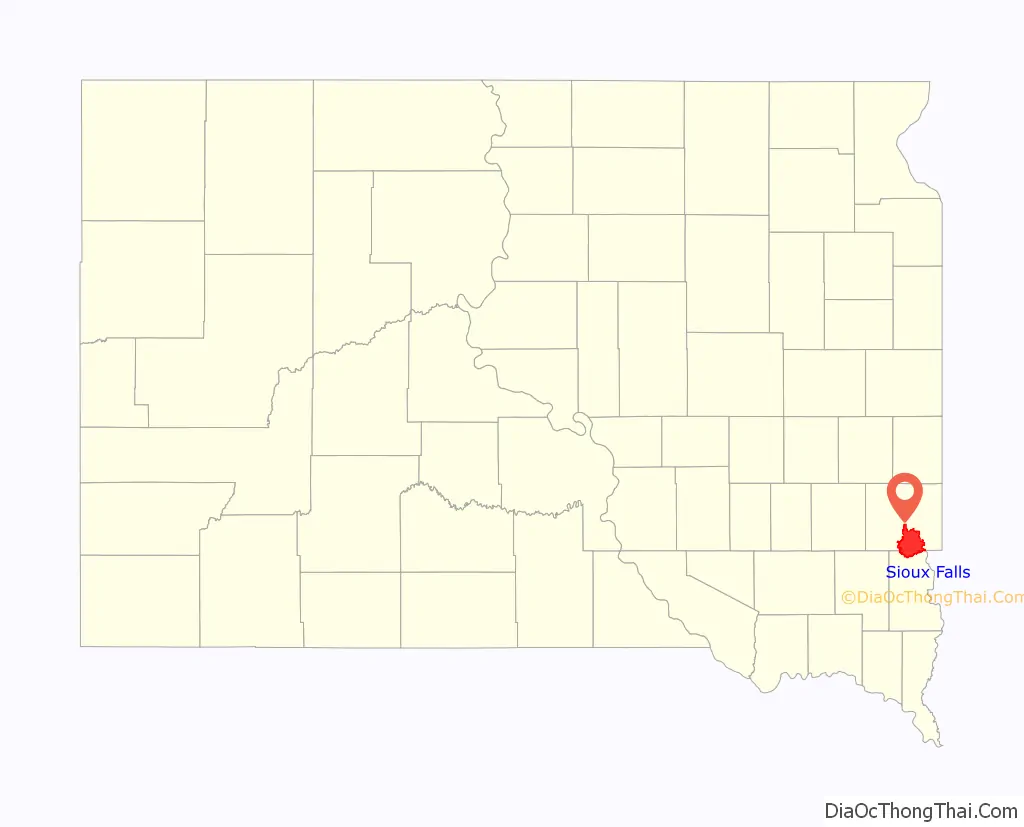
Sioux Falls location map. Where is Sioux Falls city?
History
The history of Sioux Falls revolves around the cascades of the Big Sioux River. The falls were created about 14,000 years ago during the last ice age. The lure of the falls has been a powerful influence. Ho-Chunk, Ioway, Otoe, Missouri, Omaha (and Ponca at the time), Quapaw, Kansa, Osage, Arikira, Dakota, and Cheyenne people inhabited and settled the region previous to Europeans and European descendants. Numerous burial mounds still exist on the high bluffs near the river and are spread throughout the general vicinity. Indigenous people maintained an agricultural society with fortified villages, and the later arrivals rebuilt on many of the same sites that were previously settled. Lakota populate urban and reservation communities in the contemporary state and many Lakota, Dakota, and numerous other Indigenous Americans reside in Sioux Falls today.
French voyagers/explorers visited the area in the early 18th century. The first documented visit by an American of European descent was by Philander Prescott, who camped overnight at the falls in December 1832. Captain James Allen led a military expedition out of Fort Des Moines in 1844. Jacob Ferris described the Falls in his 1856 book “The States and Territories of the Great West”.
Two separate groups, the Dakota Land Company of St. Paul and the Western Town Company of Dubuque, Iowa organized in 1856 to claim the land around the falls, considered a promising townsite for its beauty and water power. Each laid out 320-acre (1.3 km) claims, but worked together for mutual protection. They built a temporary barricade of turf which they dubbed “Fort Sod”, in response to native tribes attempting to defend their land from the settlers. Seventeen men then spent “the first winter” in Sioux Falls. The following year the population grew to near 40.
Although conflicts in Minnehaha County between Native Americans and white settlers were few, the Dakota War of 1862 engulfed nearby southwestern Minnesota. The town was evacuated in August of that year when two local settlers were killed as a result of the conflict. The settlers and soldiers stationed here traveled to Yankton in late August 1862. The abandoned townsite was pillaged and burned.
Fort Dakota, a military reservation established in present-day downtown, was established in May 1865. Many former settlers gradually returned and a new wave of settlers arrived in the following years. The population grew to 593 by 1873, and a building boom was underway in that year. The Village of Sioux Falls, consisting of 1,200 acres (4.9 km), was incorporated in 1876 and was granted a city charter by the Dakota Territorial legislature on March 3, 1883.
The arrival of the railroads ushered in the great Dakota Boom decade of the 1880s. The population of Sioux Falls mushroomed from 2,164 in 1880 to 10,167 at the close of the decade. The growth transformed the city. A severe plague of grasshoppers and a national depression halted the boom by the early 1890s. The city grew by only 89 people from 1890 to 1900.
But prosperity eventually returned with the opening of the John Morrell meat packing plant in 1909, the establishment of an airbase and a military radio and communications training school in 1942, and the completion of the interstate highways in the early 1960s. Much of the growth in the first part of the 20th century was fueled by agriculturally based industry, such as the Morrell plant and the nearby stockyards (one of the largest in the nation).
In 1955 the city decided to consolidate the neighboring incorporated city of South Sioux Falls. At the time South Sioux Falls had a population of nearly 1,600 inhabitants, according to the 1950 census. It was the third largest city in the county after Sioux Falls and Dell Rapids. By October 18, 1955, South Sioux Falls residents voted 704 in favor and 227 against to consolidate with Sioux Falls. On the same issue, Sioux Falls residents voted on November 15 by the vote 2,714 in favor and 450 against.
In 1981, to take advantage of recently relaxed state usury laws, Citibank relocated its primary credit card center from New York City to Sioux Falls. Some claim that this event was the primary impetus for the increased population and job growth rates that Sioux Falls has experienced over the past quarter-century. Others point out that Citibank’s relocation was only part of a more general transformation of the city’s economy from an industrially based one to an economy centered on health care, finance, and retail trade.
Sioux Falls has grown at a rapid pace since the late 1970s, with the city’s population increasing from 81,182 in 1980 to 192,517 in 2020.
2019 tornadoes
On the night of September 10, 2019, the south side of Sioux Falls was hit by three strong EF2 tornadoes, severely damaging at least 37 buildings, including the Plaza 41 Shopping Center. One tornado hit the Avera Heart Hospital, damaging portions of the roof and windows, and causing seven injuries, including a man who fractured his skull as he was thrown into an exterior wall of the hospital. Another tornado hit the busy commercial district near the Empire Mall, injuring one woman inside her home. Another touched down on the far south side in a suburban residential area, tearing the roofs off homes. The total damage was more than $5 million.
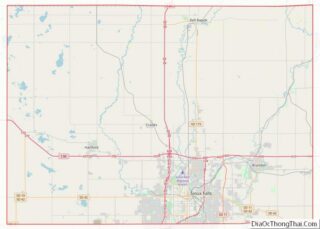
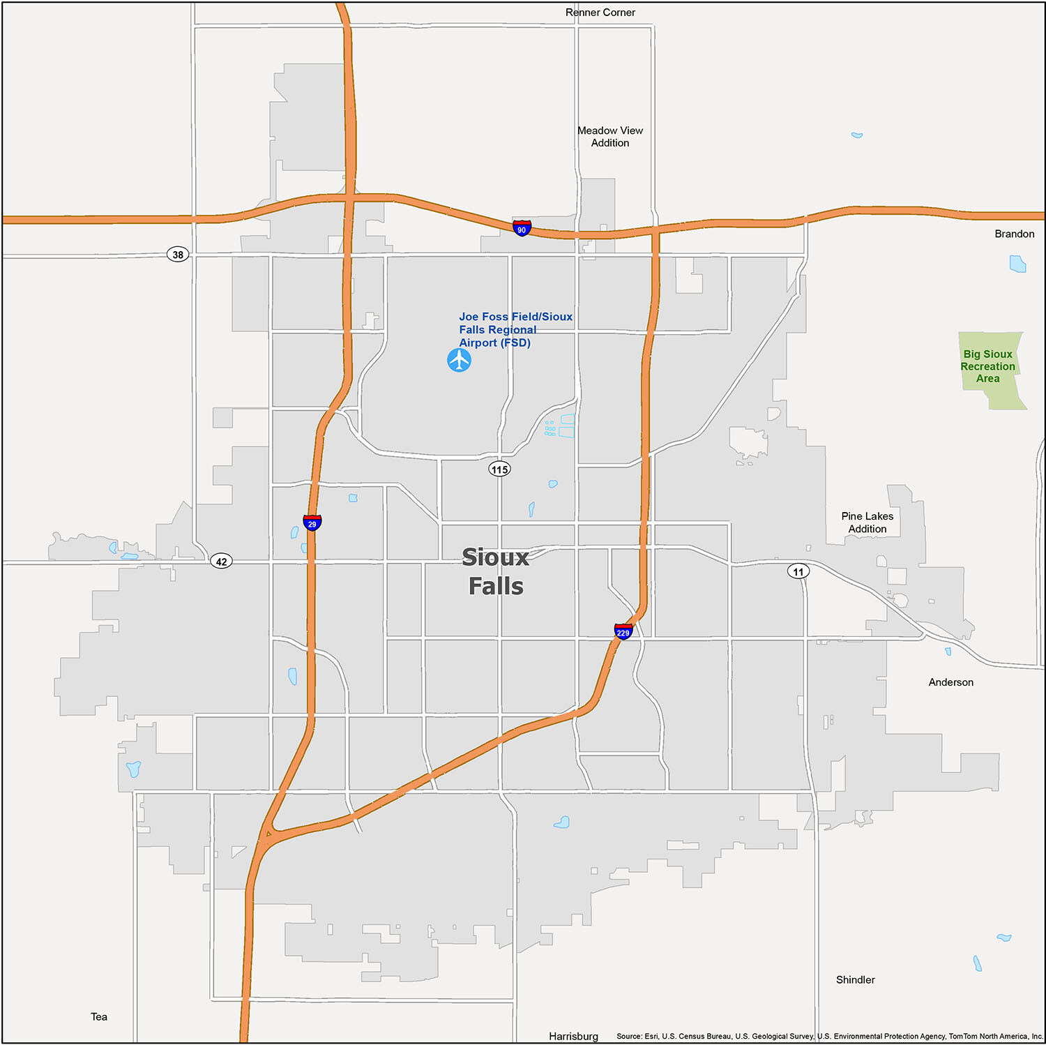
Sioux Falls Road Map
If you’re looking for a city with a rich history and plenty of attractions, Sioux Falls, SD is the place to be. However, it can be hard to find your way around the city. This is especially true if you’re looking for a specific destination or want to explore different parts of the city. That’s why we’ve created a road map of Sioux Falls so you can easily find your way around the city.
The city is serviced by a number of interstate and US highways, including I-29, I-90, I-229, 11, 38, 42, 111, 115, 121, 131. Additionally, there are a number of major roads including 6th St, 10th St, 11th St, 12th St, 26th St, 41st St, 265th St, 49th St, 57th St, 60th St, 469th Ave, 471st Ave, Benson Rd, Burnside St, Cleveland Ave, Cliff Ave, Jessica Ave, Kiwanis Ave, La Mesa Dr, Louise Ave, Madison St, Maple St, Marion Rd, Menlo Ave, Minnesota Ave, North Dr, Powder House Rd, Rice St, Rushmore Rd, Russell St, Sertoma Ave, Southeastern Ave, Sundowner Ave, Sycamore Ave, Timberline Ave, West Ave, Western Ave, Westport Ave.
For more highway information outside of Sioux Falls, you can check out the South Dakota road map.
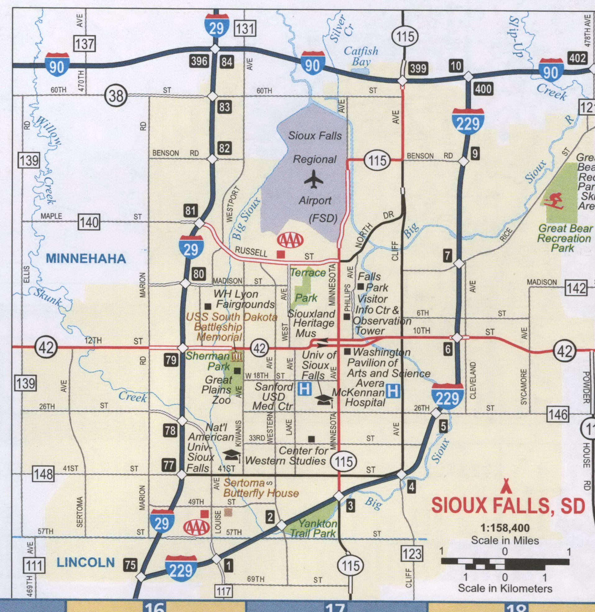
Exploring a new city can be daunting. To make the journey easier, we have created a detailed map of the Sioux Falls region. This map includes the Sioux Falls Regional Airport, as well as other populated areas. Feel free to print it out or sketch it out to make it your own. Here is a list of the areas highlighted on the map:
- Airports: Joe Foss Field/Sioux Falls Regional Airport (FSD)
- Cities: Brandon, Harrisburg, Sioux Falls, Tea
- Census-designated place (CDP): Anderson, Meadow View Addition, Pine Lakes Addition, Renner Corner, Shindler
- Parks/Recreation: Big Sioux Recreation Area
10 things to do in Sioux Falls city
Sioux Falls is a great place to explore and find something new. With its diverse attractions, you’re sure to find something to pique your interest. Whether you’re looking for a one-time trip or something to keep you busy for weeks on end, Sioux Falls has something for everyone.
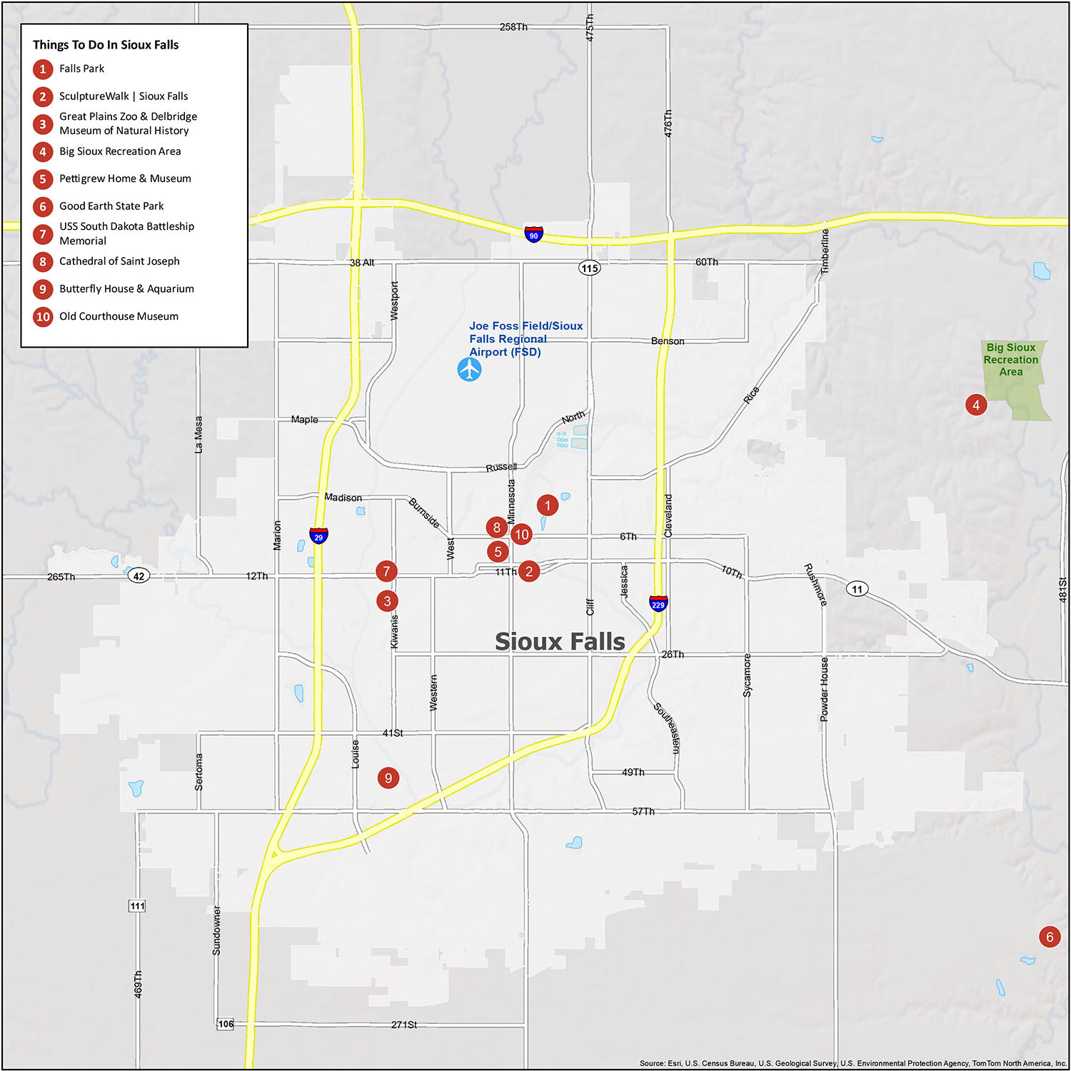
If you’re looking for a city to explore, Sioux Falls is the perfect place to go. With a wide range of attractions, you’re sure to find something to pique your interest. From Falls Park and SculptureWalk to the USS South Dakota Battleship Memorial and the Butterfly House & Aquarium, there is something for everyone in Sioux Falls! Whether you’re looking for a one-time trip or something to keep you busy for weeks on end, you won’t be disappointed.
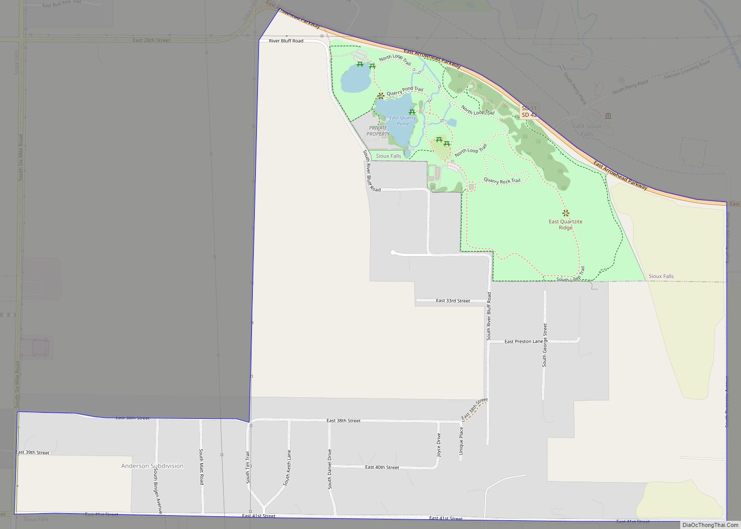
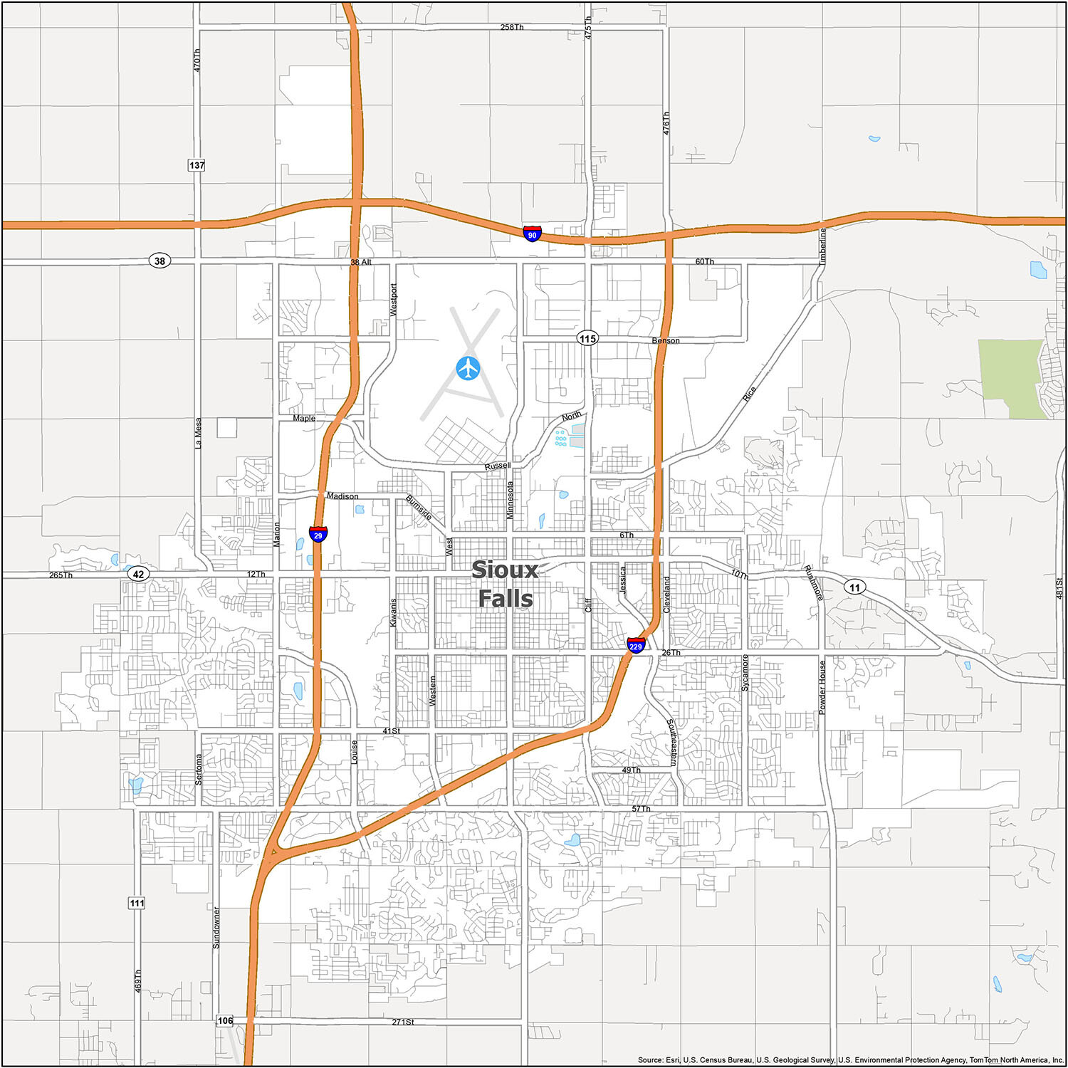
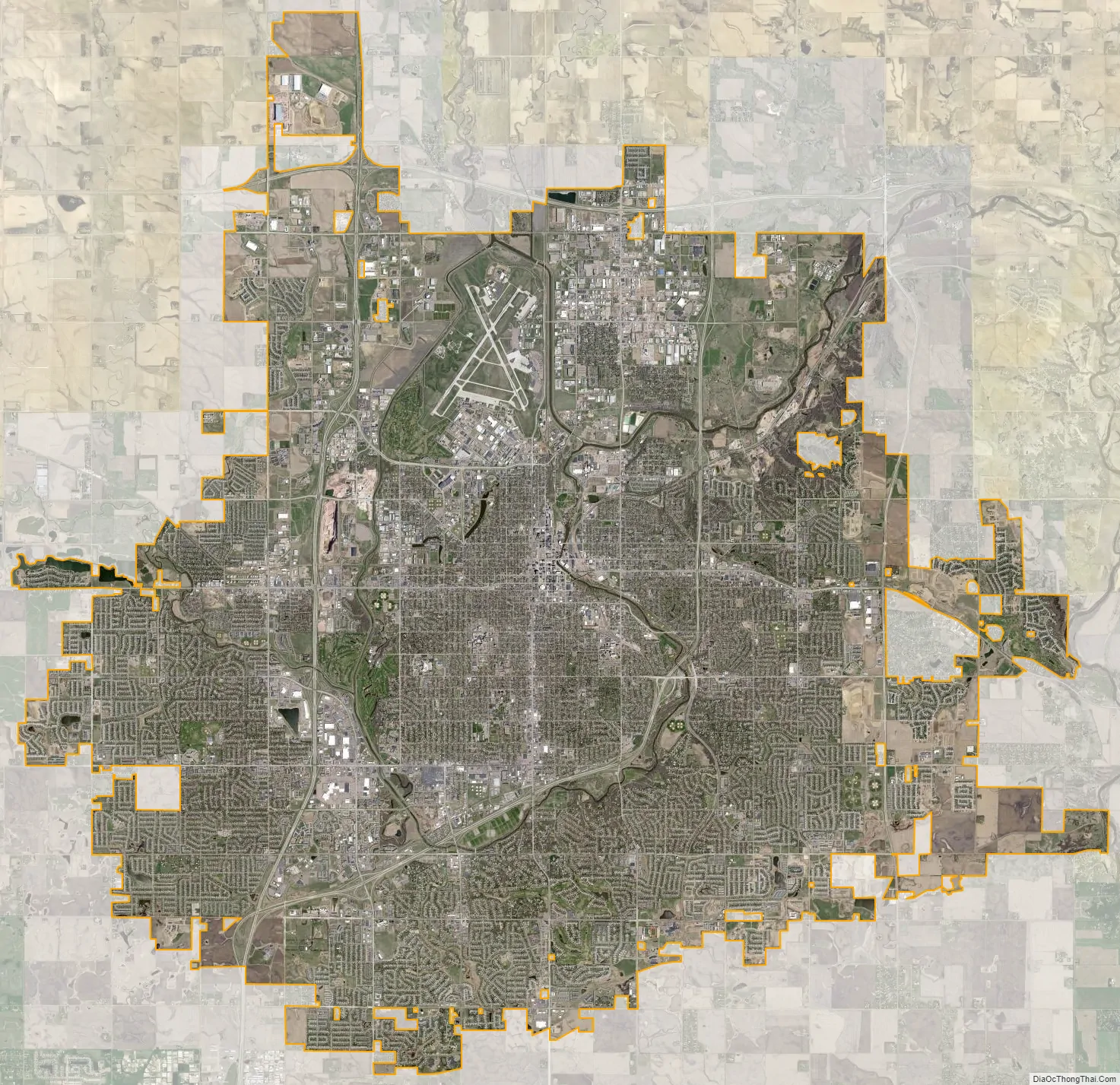
Sioux Falls city Satellite Map
Geography
According to the United States Census Bureau, the city has an area of 73.47 square miles (190.29 km), of which 72.96 square miles (188.97 km) is land and 0.51 square miles (1.32 km) is water. The city is in extreme eastern South Dakota, about 15 miles (24 km) west of the Minnesota border. Sioux Falls has been assigned the ZIP Codes 57101, 57103–57110, 57117–57118, 57188–57189, and 57192–57198, and the FIPS place code 59020.
Metropolitan area
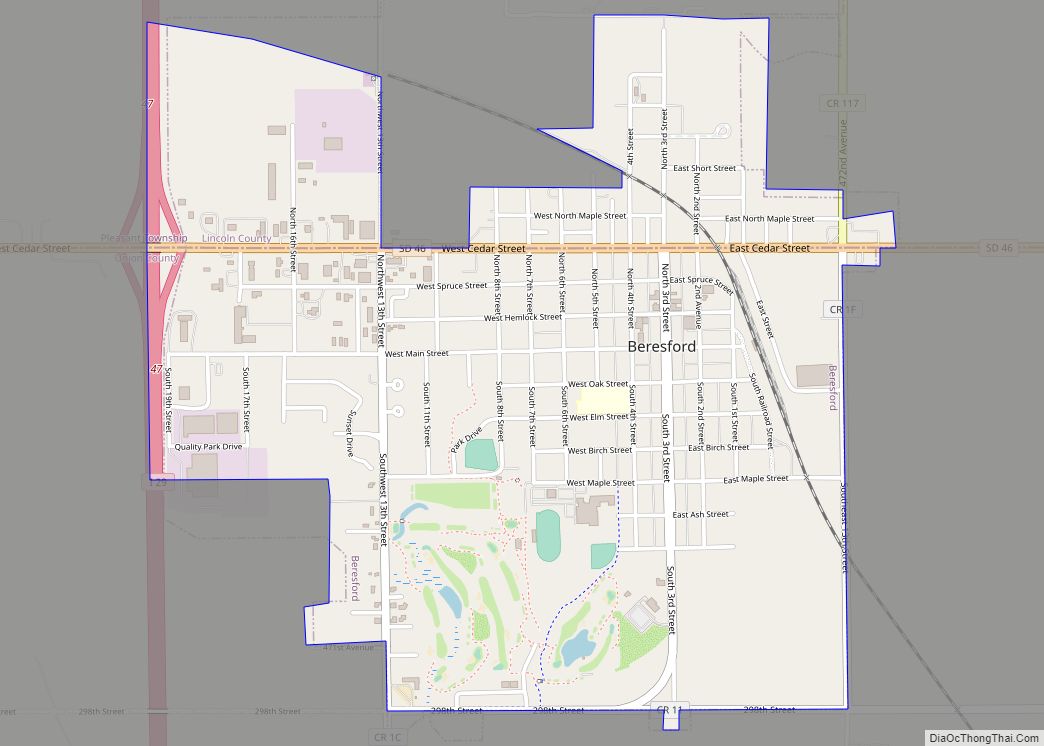
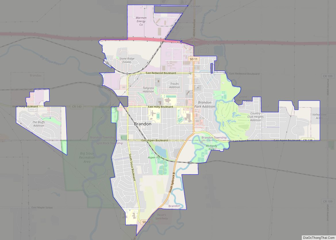
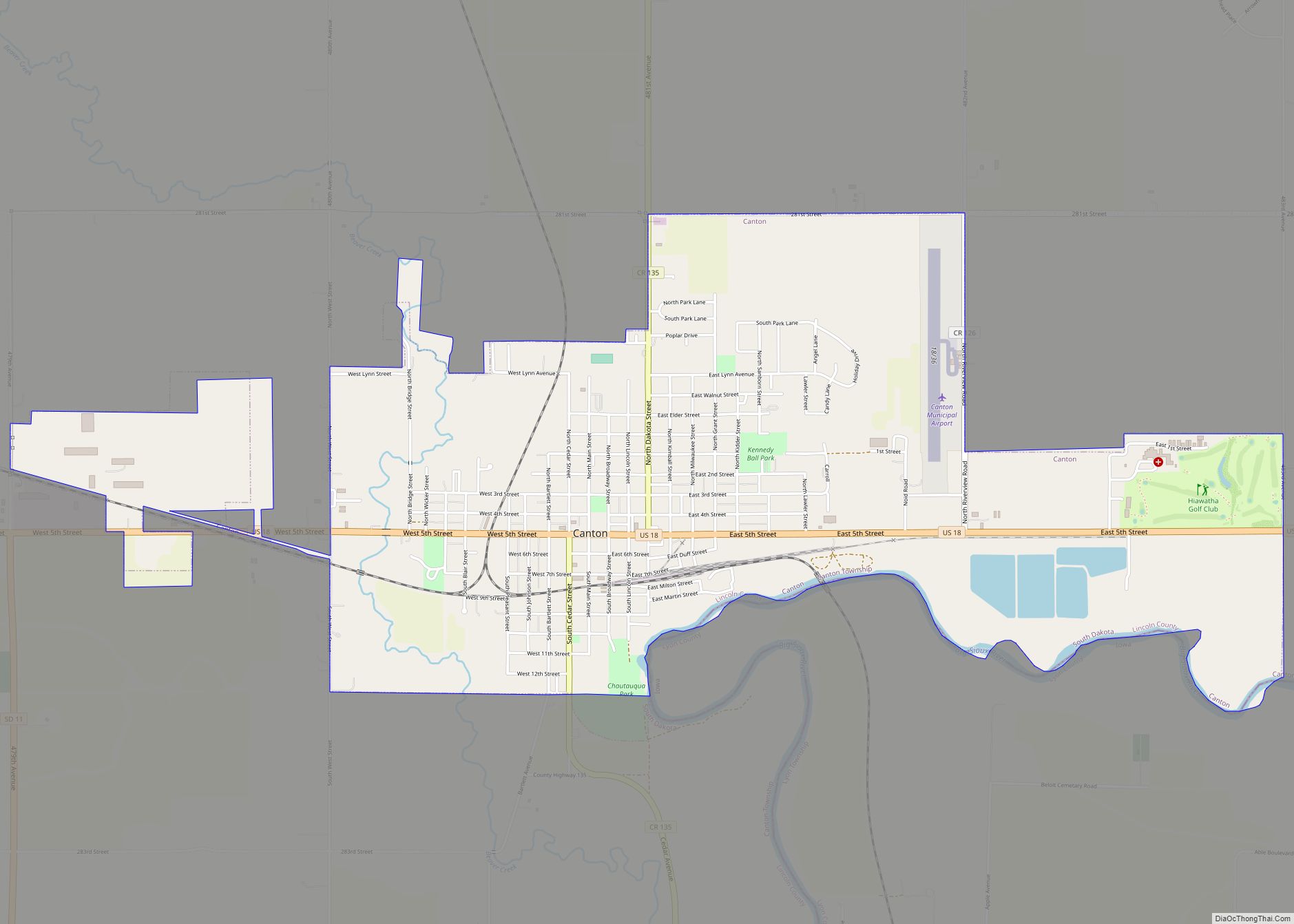
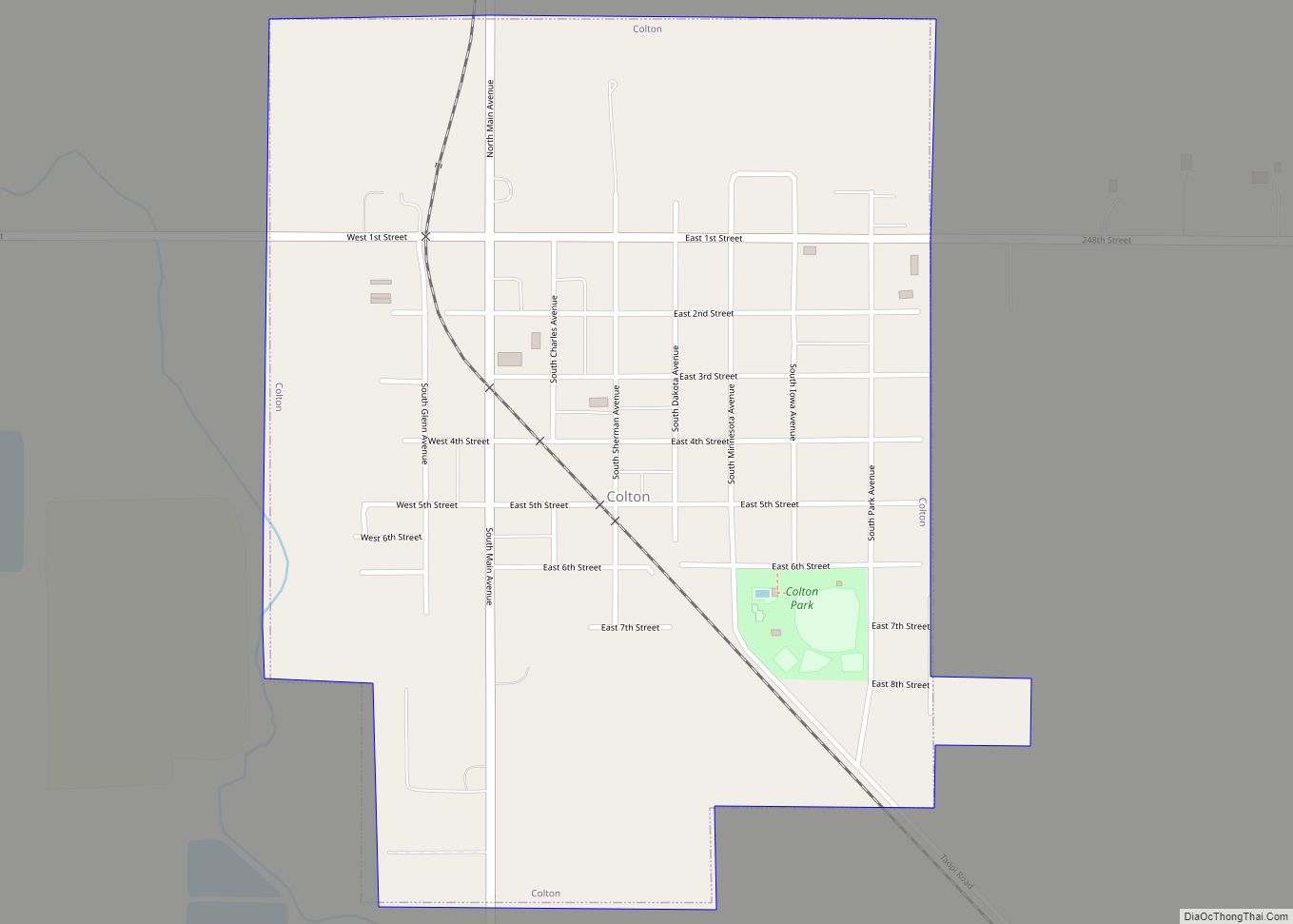
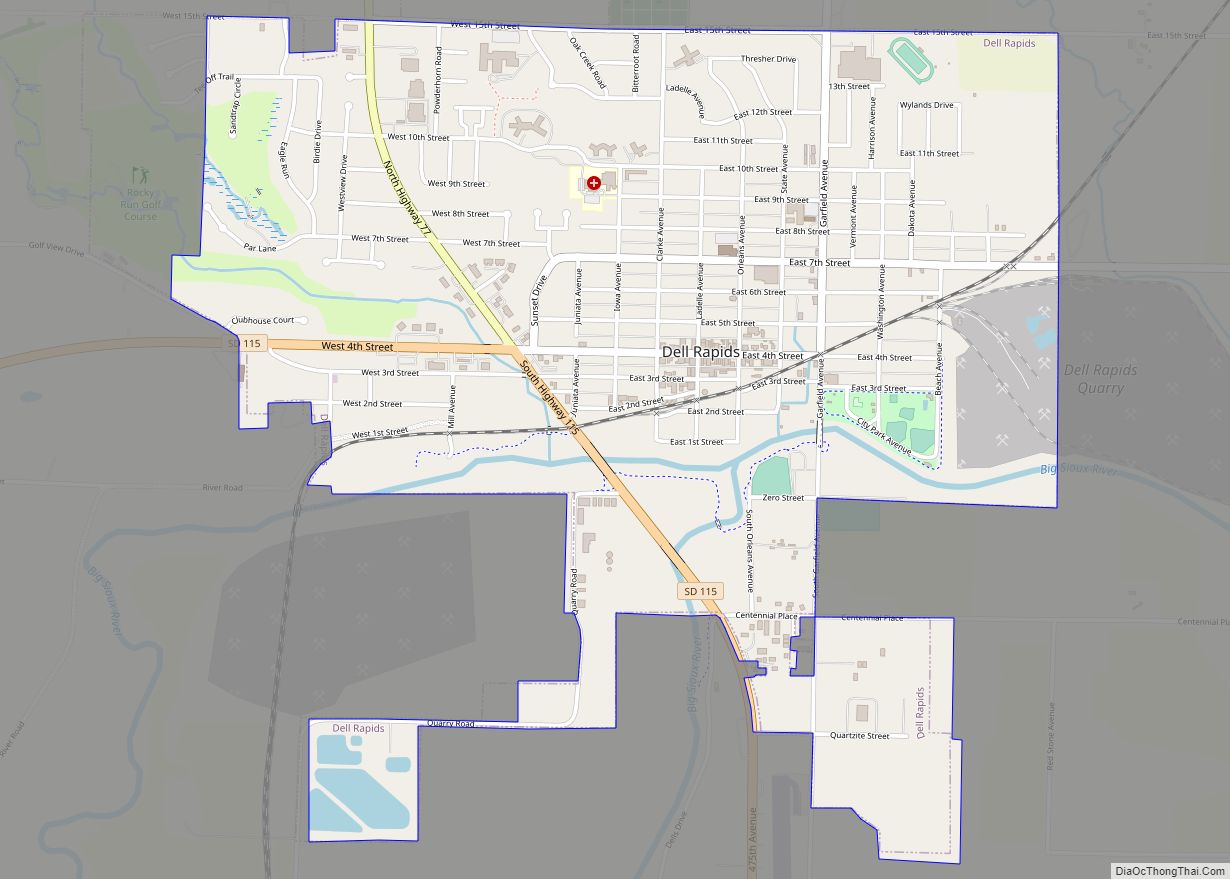
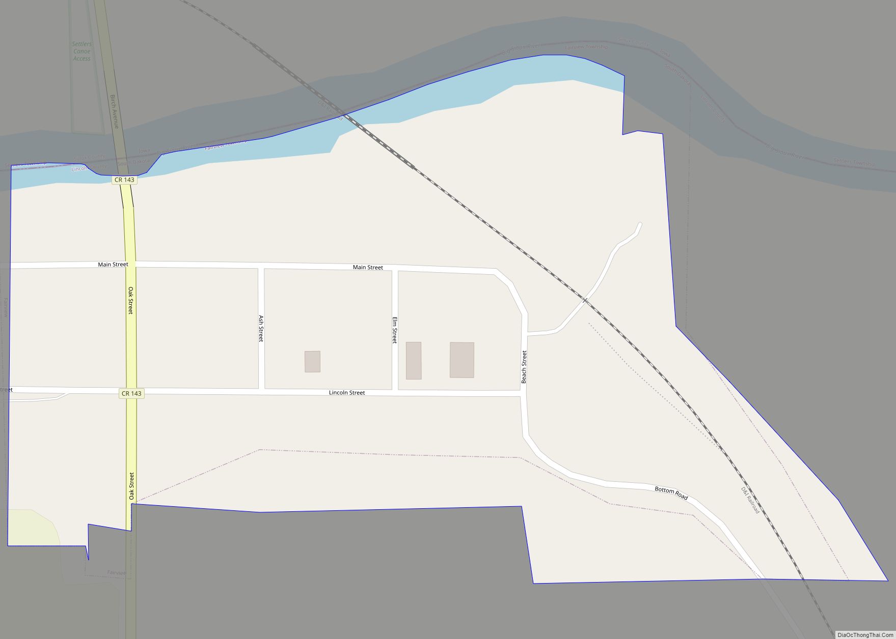
The Sioux Falls Metropolitan Statistical Area consists of four South Dakota counties: Lincoln, McCook, Minnehaha, and Turner. The estimated population of this MSA in 2017 was 259,094, an increase of 13.51% from the 2010 census. According to recent estimates, Lincoln County is the 16th-fastest-growing county in the United States. In addition to Sioux Falls, the metropolitan area includes Canton, Brandon, Dell Rapids, Tea, Harrisburg, Worthing, Beresford, Lennox, Hartford, Crooks, Baltic, Montrose, Salem, Renner, Rowena, Chancellor, Colton, Humboldt, Parker, Hurley, Garretson, Sherman, Corson, Viborg, Irene, and Centerville.
Climate
Due to its inland location and relatively high latitude, Sioux Falls has a humid continental climate (Köppen Dfa) characterized by hot, humid summers and cold, dry winters. It is in USDA Plant Hardiness Zone 4b. The monthly daily average temperature ranges from 17.9 °F (−7.8 °C) in January to 74.4 °F (23.6 °C) in July; there are 15 days of maxima at or above 90 °F (32 °C) and 25 days with minima at or below 0 °F (−18 °C) annually. Snowfall occurs mostly in light to moderate amounts during the winter, totaling 45.3 inches (115 cm). Precipitation, at 27.85 inches (707 mm) annually, is concentrated in the warmer months. This results in frequent thunderstorms in summer from convection being built up with the unstable weather patterns. Extremes range from −42 °F (−41 °C) on February 9, 1899 to 110 °F (43 °C) as recently as June 21, 1988.
See also
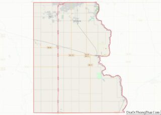
Map of South Dakota State and its subdivision:- Aurora
- Beadle
- Bennett
- Bon Homme
- Brookings
- Brown
- Brule
- Buffalo
- Butte
- Campbell
- Charles Mix
- Clark
- Clay
- Codington
- Corson
- Custer
- Davison
- Day
- Deuel
- Dewey
- Douglas
- Edmunds
- Fall River
- Faulk
- Grant
- Gregory
- Haakon
- Hamlin
- Hand
- Hanson
- Harding
- Hughes
- Hutchinson
- Hyde
- Jackson
- Jerauld
- Jones
- Kingsbury
- Lake
- Lawrence
- Lincoln
- Lyman
- Marshall
- McCook
- McPherson
- Meade
- Mellette
- Miner
- Minnehaha
- Moody
- Pennington
- Perkins
- Potter
- Roberts
- Sanborn
- Shannon
- Spink
- Stanley
- Sully
- Todd
- Tripp
- Turner
- Union
- Walworth
- Yankton
- Ziebach
- Alabama
- Alaska
- Arizona
- Arkansas
- California
- Colorado
- Connecticut
- Delaware
- District of Columbia
- Florida
- Georgia
- Hawaii
- Idaho
- Illinois
- Indiana
- Iowa
- Kansas
- Kentucky
- Louisiana
- Maine
- Maryland
- Massachusetts
- Michigan
- Minnesota
- Mississippi
- Missouri
- Montana
- Nebraska
- Nevada
- New Hampshire
- New Jersey
- New Mexico
- New York
- North Carolina
- North Dakota
- Ohio
- Oklahoma
- Oregon
- Pennsylvania
- Rhode Island
- South Carolina
- South Dakota
- Tennessee
- Texas
- Utah
- Vermont
- Virginia
- Washington
- West Virginia
- Wisconsin
- Wyoming