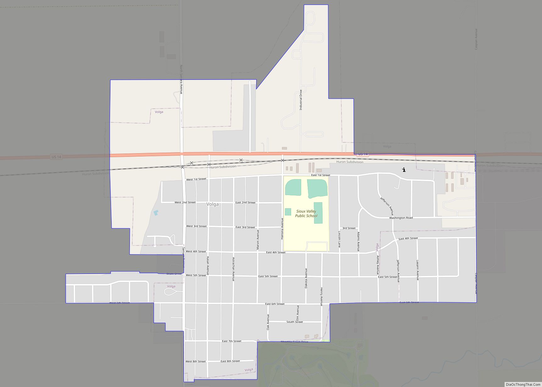
Brookings is a city in Brookings County, South Dakota, United States. Brookings is South Dakota’s fourth largest city, with a population of 23,377 at the 2020 census. It is the county seat of Brookings County, and home to South Dakota State University, the state’s largest institution of higher education. Also in Brookings are the South Dakota Art Museum, the Children’s Museum of South Dakota, the annual Brookings Summer Arts Festival, and the headquarters of several manufacturing companies and agricultural operations.
| Name: | Brookings city |
|---|---|
| LSAD Code: | 25 |
| LSAD Description: | city (suffix) |
| State: | South Dakota |
| County: | Brookings County |
| Incorporated: | 1883 |
| Elevation: | 1,621 ft (494 m) |
| Total Area: | 13.66 sq mi (35.38 km²) |
| Land Area: | 13.58 sq mi (35.17 km²) |
| Water Area: | 0.08 sq mi (0.20 km²) |
| Total Population: | 23,377 |
| Population Density: | 1,721.30/sq mi (664.59/km²) |
| ZIP code: | 57006-57007 |
| Area code: | 605 |
| FIPS code: | 4607580 |
| GNISfeature ID: | 1254074 |
| Website: | www.cityofbrookings.org |
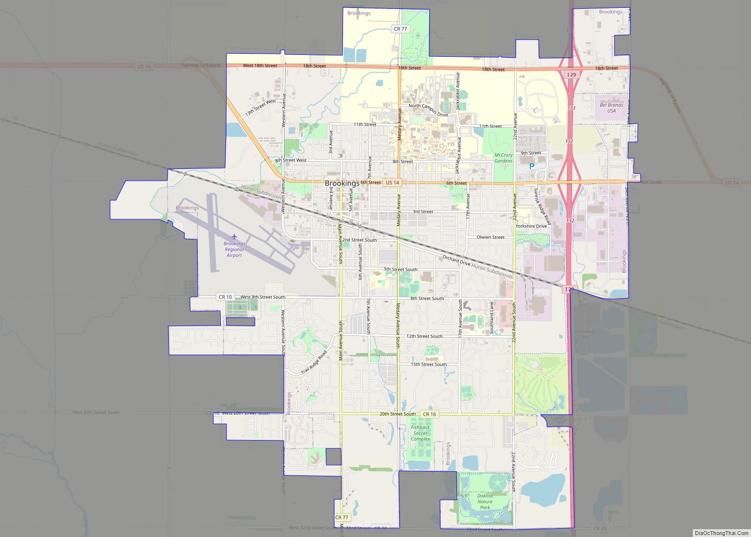
Online Interactive Map
Click on ![]() to view map in "full screen" mode.
to view map in "full screen" mode.
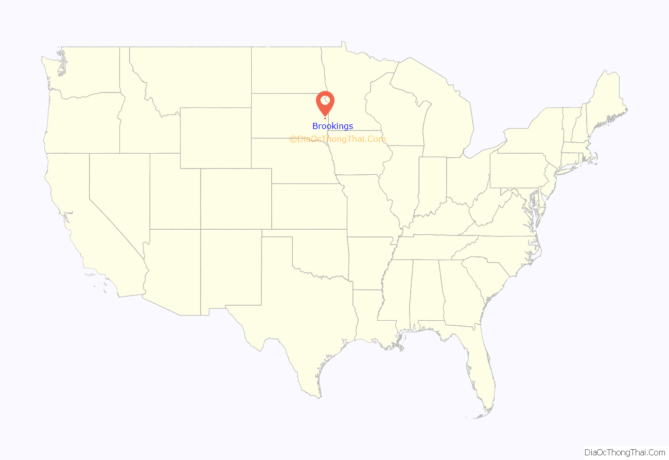
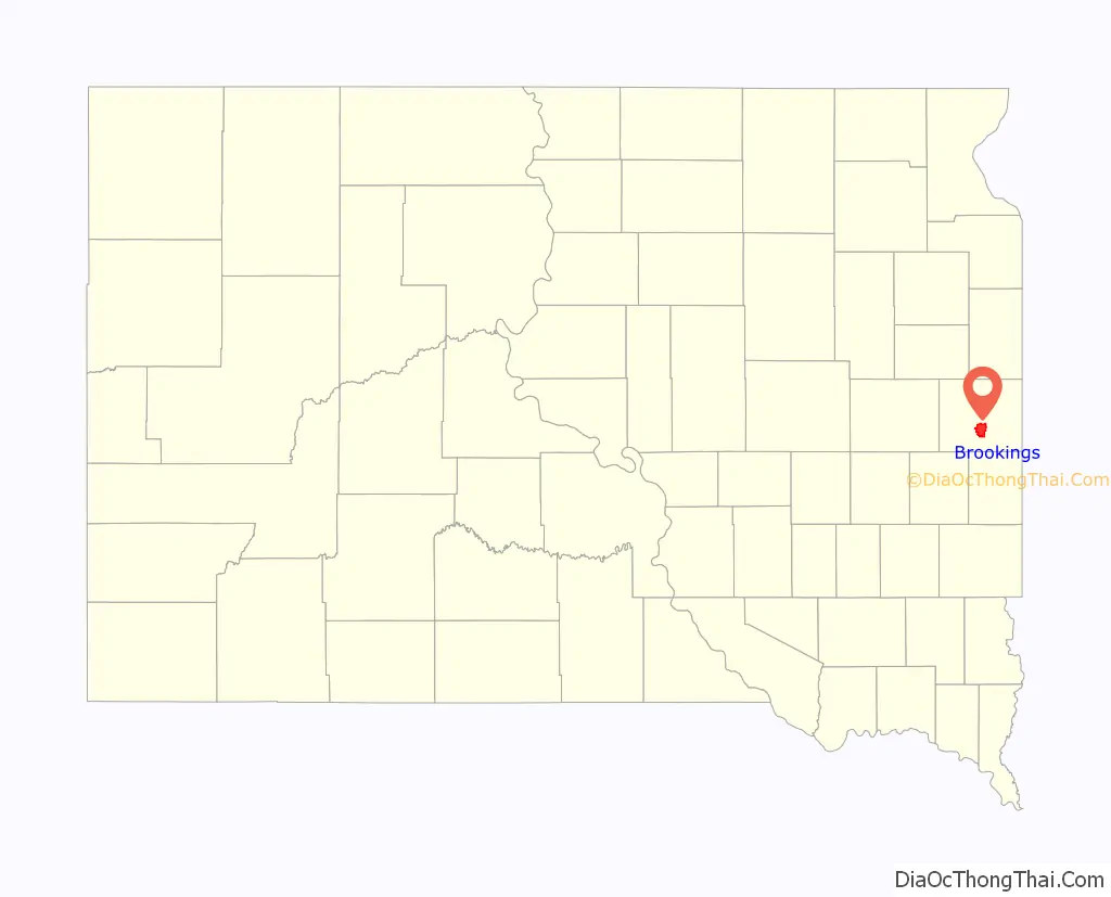
Brookings location map. Where is Brookings city?
History
Pioneer
The county and city were both named after one of South Dakota’s pioneer promoters, Wilmot Brookings. Brookings set out for the Dakota Territory in June 1857. He arrived at Sioux Falls on August 27, 1857, and became one of the first settlers there. He and his group represented the Western Town Company. After a time in Sioux Falls, Brookings and a companion set out for the Yankton area to locate a town in an area that was soon to be ceded by the Native Americans. This trip began in January 1858, and the two soon encountered a blizzard that froze Brookings’s feet, which both had to be amputated.
Brookings rose to a high position in the Territory, becoming a member of the Squatter Territorial Legislature and later elected Squatter Governor. He then was appointed superintendent of a road that was to be built from the Minnesota state line west to the Missouri River about 30 miles north of Ft. Pierre. It was during this road’s construction that Brookings came into contact with land that was part of this county at the time. He made settlement of this area possible for many people.
Medary
The first real town organized in Brookings County was Medary, in 1857. Before that, the area had been traveled and utilized only by Native Americans, with a few indistinct traces left showing the penetration of the area by explorers, missionaries, trappers, and traders. Along with Sioux Falls and Flandreau, Medary was one of the first three European settlements established in South Dakota.
The first site of Medary was located by the Dakota Land Company of Minnesota, led by Alpheus G. Fuller and Franklin J. DeWitt and accompanied by engineer Samuel A. Medary, Jr. In 1857, the men put up quarters in preparation to live out the winter in Medary. Many other settlers moved into the area in 1858. But in the spring of that year, a large group of Yankton and Yanktonnia Indians drove the settlers from the area, and Medary remained nearly abandoned for the next 11 years.
In 1869, a group of 10 Norwegian pioneers moved west into the Dakota Territory and resettled the area of Medary, about four and a half miles south of present-day Brookings. The county of Brookings was formally organized in Medary in Martin Trygstad’s cabin on July 3, 1871. The county’s original boundaries extended to two miles south of Flandreau. The territorial legislature established the current boundaries on January 8, 1873. Two other small settlements, Oakwood and Fountain, appeared in the Brookings County area around this time. All three hoped to be the town the railroad would decide to run through as it moved westward. The railroad bypassed Medary, so it became a ghost town.
Railroad
In fact, the railroad bypassed all three towns. When the businessmen of Medary and Fountain found out that the railroad had no plans to run through the two towns, they began a push to find a central location. Many private meetings and much effort on the part of the men of Medary and Fountain led the railroad to lay its tracks through what became the city of Brookings.
In a letter sent to Chicago on September 30, 1879, Land Commissioner Charles E. Simmons communicated the layout of the series of towns in Brookings County for the railroad to pass through: Aurora, Brookings, and Volga. Many merchants of Medary and Fountain packed up their businesses and belongings and moved to Brookings, which was surveyed and platted on October 3 and 4, 1879. Fountain ceased to exist; Medary and Oakwood remained for a while but eventually faded away. A monument still stands at the site of the old Medary as a reminder of the people who once lived there.
The railroad crossed the Minnesota state line into Brookings County on October 2, 1879. With tracks being built at about one mile per day, the track and first train reached Brookings’s Main Street on October 18, 1879. The railroad station opened a month later.
Brookings was laid out in 1880.
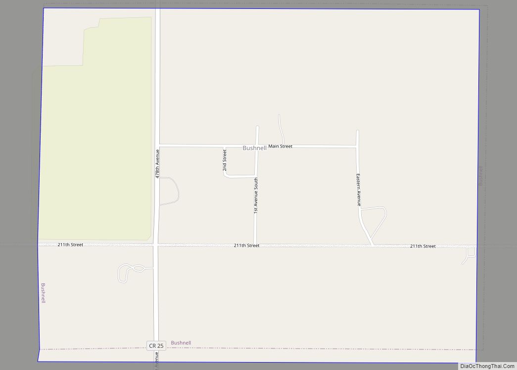
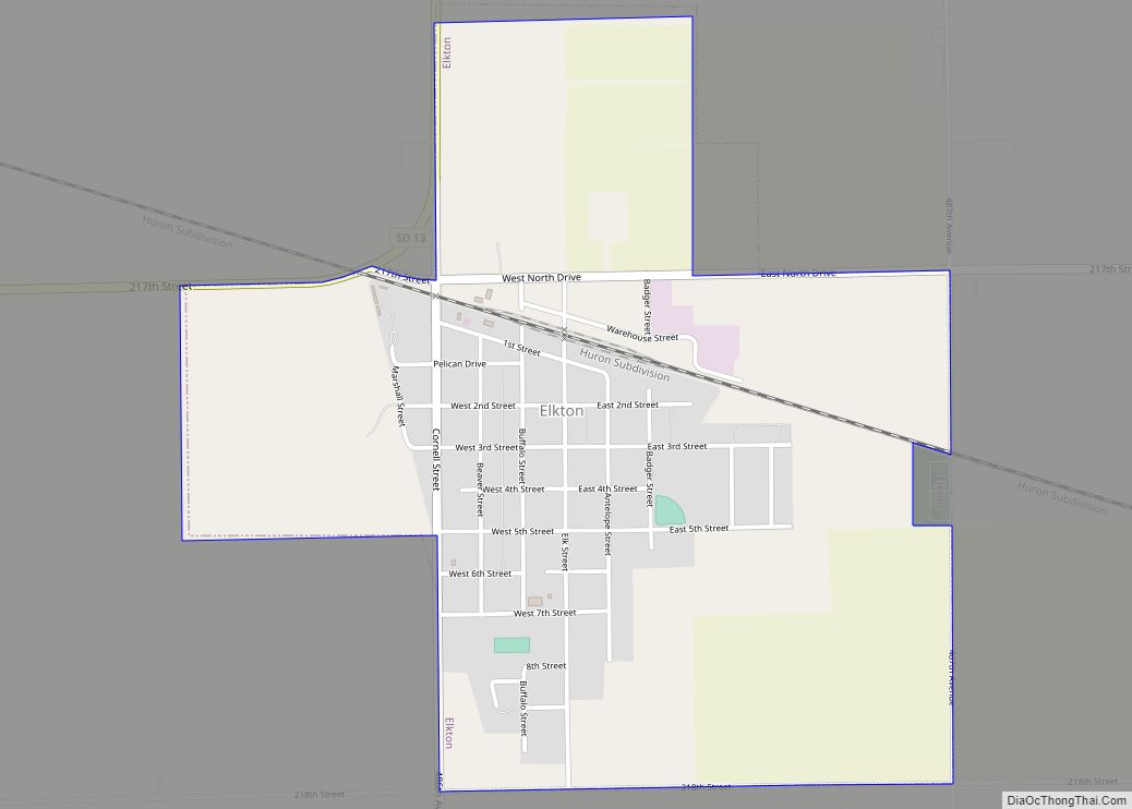
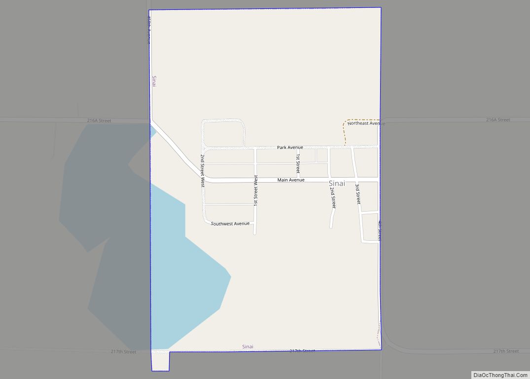
Brookings Road Map
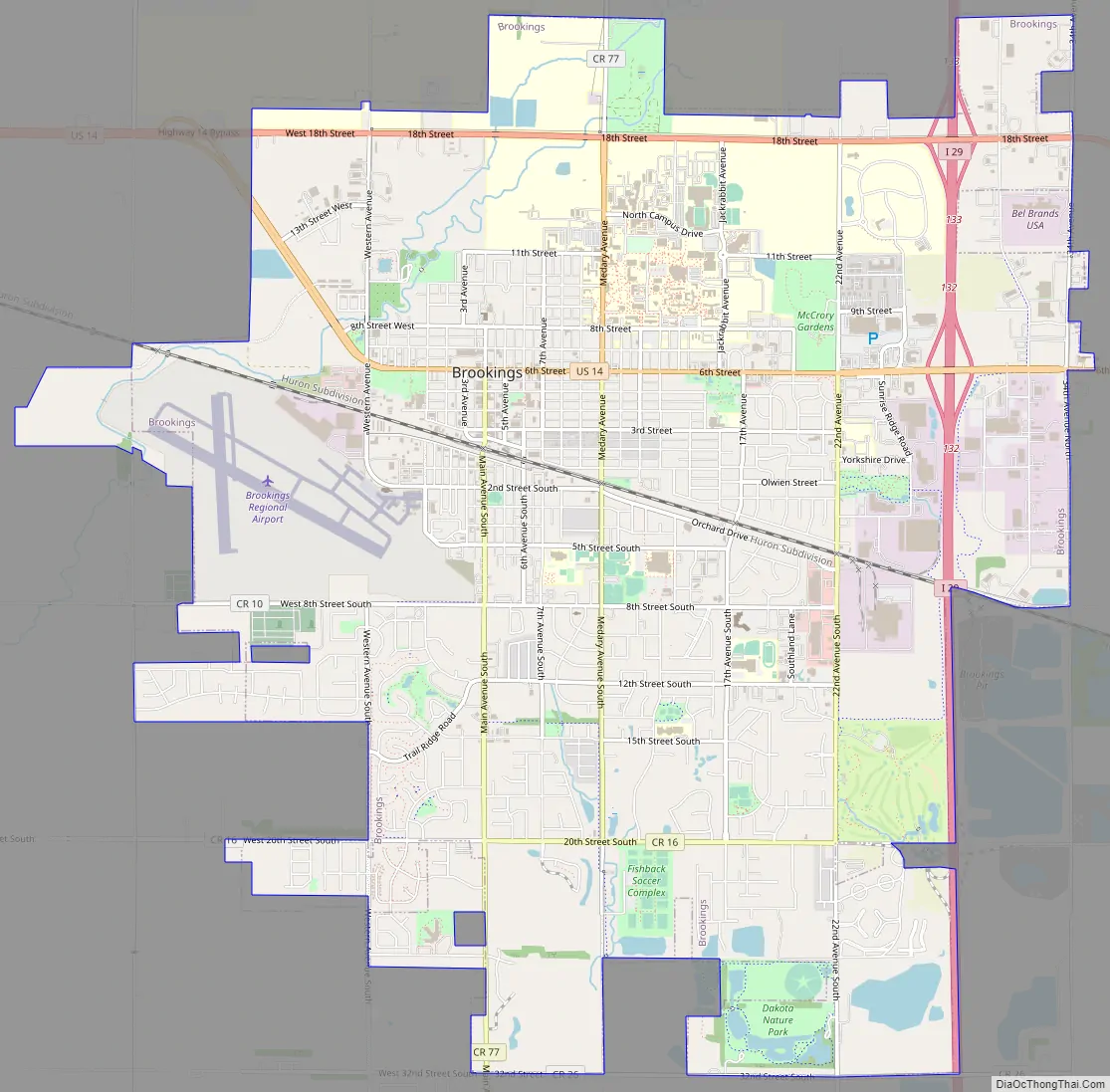
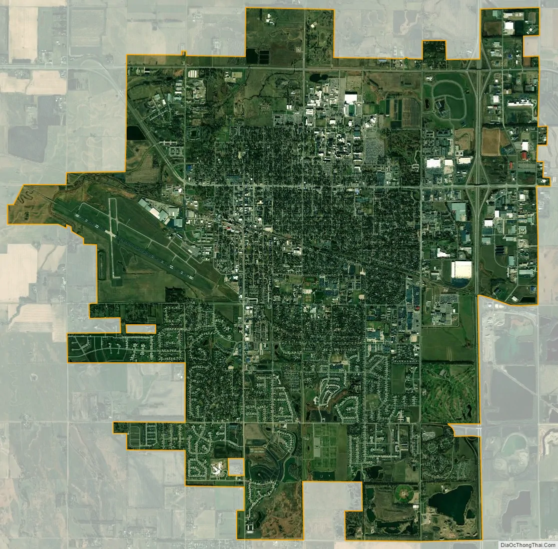
Brookings city Satellite Map
Geography
Brookings is located at 44°18′23″N 96°47′17″W / 44.30639°N 96.78806°W / 44.30639; -96.78806 (44.306253, −96.788105).
According to the United States Census Bureau, the city has an area of 13.04 square miles (33.77 km), of which 12.94 square miles (33.51 km) is land and 0.10 square miles (0.26 km) is water.
Brookings has been assigned ZIP codes 57006 and 57007 as well as the FIPS place code 07580.
Climate
Brookings experiences a humid continental climate (Köppen Dfb), which is characterized by warm, relatively humid summers and cold, dry winters, and is in USDA Hardiness Zones 4. The monthly daily average temperature range from 12.8 °F (−10.7 °C) in January to 70.7 °F (21.5 °C) in July, while there are 8 days of 90 °F (32 °C)+ highs and 35 days with sub-0 °F (−18 °C) lows annually. Snowfall occurs mostly in light to moderate amounts, totaling 35.8 inches (91 cm). Precipitation, at 25.21 inches (640 mm) annually, is concentrated in the warmer months. Extremes range from −41 °F (−41 °C) as recently as January 12, 1912 to 109 °F (43 °C) on July 24, 1940.
See also
Map of South Dakota State and its subdivision:- Aurora
- Beadle
- Bennett
- Bon Homme
- Brookings
- Brown
- Brule
- Buffalo
- Butte
- Campbell
- Charles Mix
- Clark
- Clay
- Codington
- Corson
- Custer
- Davison
- Day
- Deuel
- Dewey
- Douglas
- Edmunds
- Fall River
- Faulk
- Grant
- Gregory
- Haakon
- Hamlin
- Hand
- Hanson
- Harding
- Hughes
- Hutchinson
- Hyde
- Jackson
- Jerauld
- Jones
- Kingsbury
- Lake
- Lawrence
- Lincoln
- Lyman
- Marshall
- McCook
- McPherson
- Meade
- Mellette
- Miner
- Minnehaha
- Moody
- Pennington
- Perkins
- Potter
- Roberts
- Sanborn
- Shannon
- Spink
- Stanley
- Sully
- Todd
- Tripp
- Turner
- Union
- Walworth
- Yankton
- Ziebach
- Alabama
- Alaska
- Arizona
- Arkansas
- California
- Colorado
- Connecticut
- Delaware
- District of Columbia
- Florida
- Georgia
- Hawaii
- Idaho
- Illinois
- Indiana
- Iowa
- Kansas
- Kentucky
- Louisiana
- Maine
- Maryland
- Massachusetts
- Michigan
- Minnesota
- Mississippi
- Missouri
- Montana
- Nebraska
- Nevada
- New Hampshire
- New Jersey
- New Mexico
- New York
- North Carolina
- North Dakota
- Ohio
- Oklahoma
- Oregon
- Pennsylvania
- Rhode Island
- South Carolina
- South Dakota
- Tennessee
- Texas
- Utah
- Vermont
- Virginia
- Washington
- West Virginia
- Wisconsin
- Wyoming