Rapid City is the second most populous city in South Dakota and the county seat of Pennington County. Named after Rapid Creek, where the settlement developed, it is in western South Dakota, on the Black Hills’ eastern slope. The population was 74,703 as of the 2020 Census.
Known as the “Gateway to the Black Hills” and the “City of Presidents” because of the life-size bronze president statues downtown, Rapid City is split by a low mountain ridge that divides the city’s western and eastern parts. Ellsworth Air Force Base is on the city’s outskirts. Camp Rapid, part of the South Dakota Army National Guard, is in the city’s western part.
Rapid City is home to such attractions as Art Alley, Dinosaur Park, the City of Presidents walking tour, Chapel in the Hills, Storybook Island, and Main Street Square. The historic “Old West” town of Deadwood is nearby. In the neighboring Black Hills are the tourist attractions of Mount Rushmore, the Crazy Horse Memorial, Custer State Park, Wind Cave National Park, Jewel Cave National Monument, and the museum at the Black Hills Institute of Geological Research. To the city’s east is Badlands National Park.
| Name: | Rapid City city |
|---|---|
| LSAD Code: | 25 |
| LSAD Description: | city (suffix) |
| State: | South Dakota |
| County: | Pennington County |
| Founded: | 1876 |
| Incorporated: | February 1883 |
| Elevation: | 3,202 ft (976 m) |
| Land Area: | 55.07 sq mi (142.62 km²) |
| Water Area: | 0.06 sq mi (0.16 km²) |
| Population Density: | 1,356.58/sq mi (523.78/km²) |
| ZIP code: | 57701–57704, 57709 |
| Area code: | 605 |
| FIPS code: | 4652980 |
| GNISfeature ID: | 1265333 |
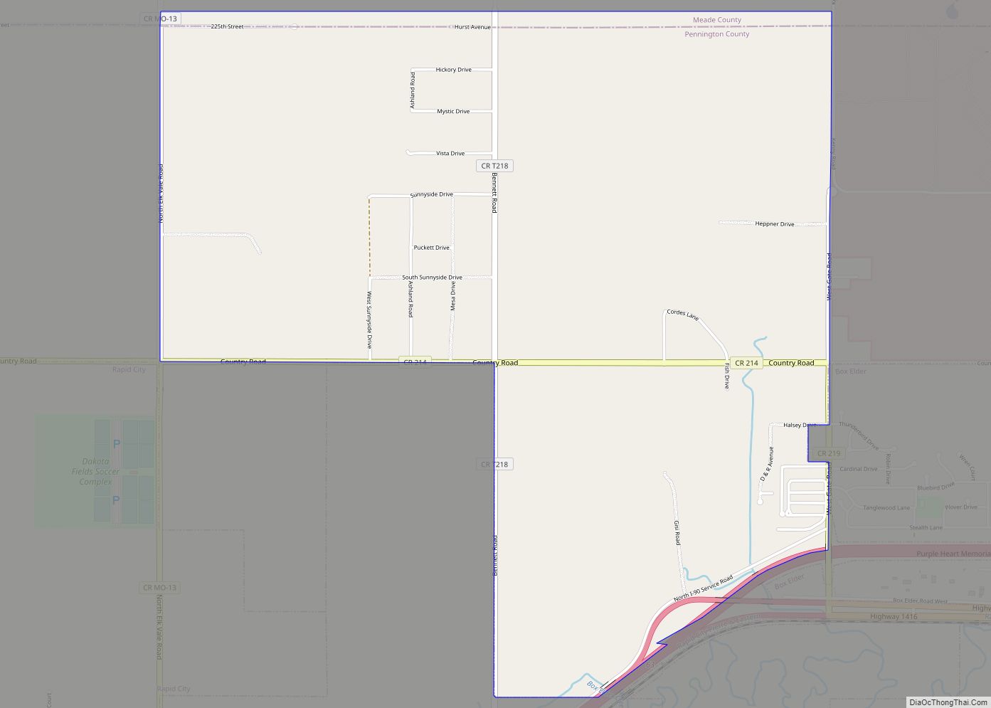
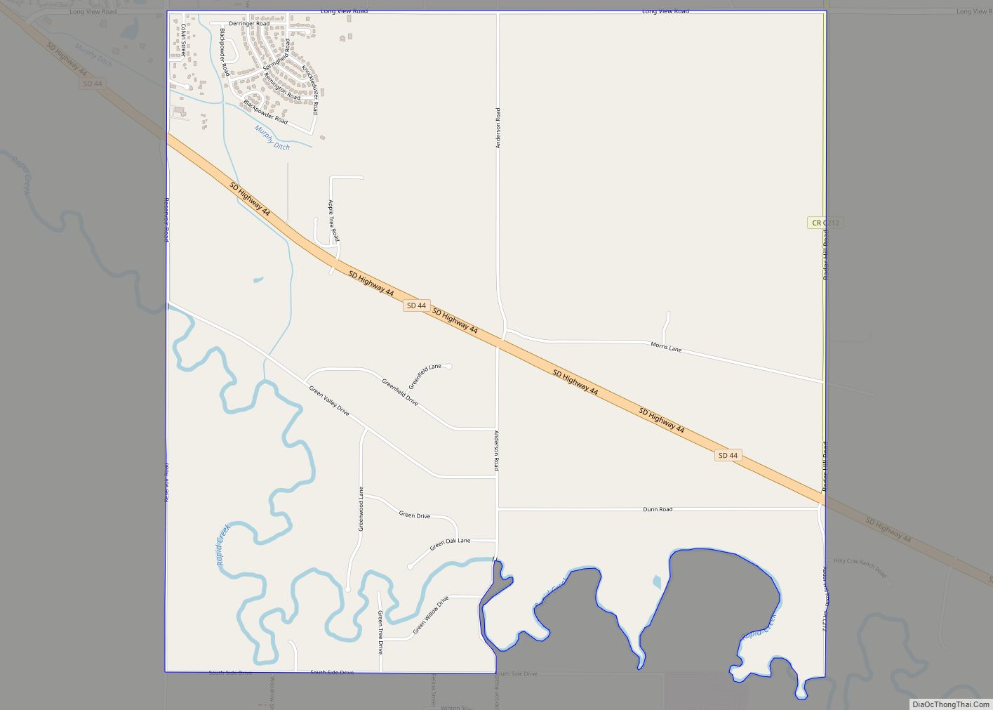
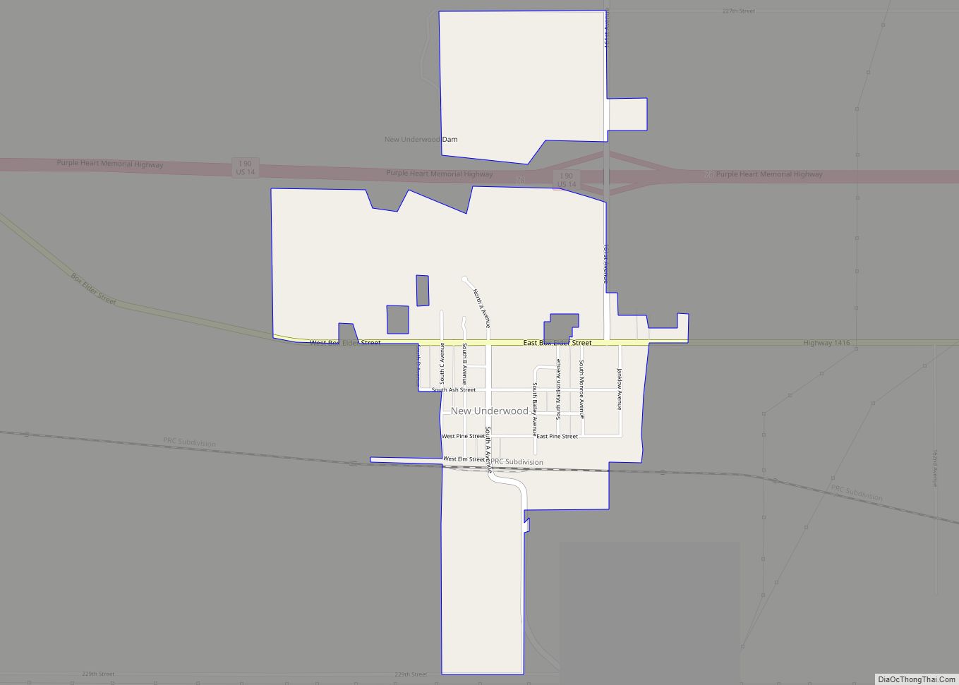
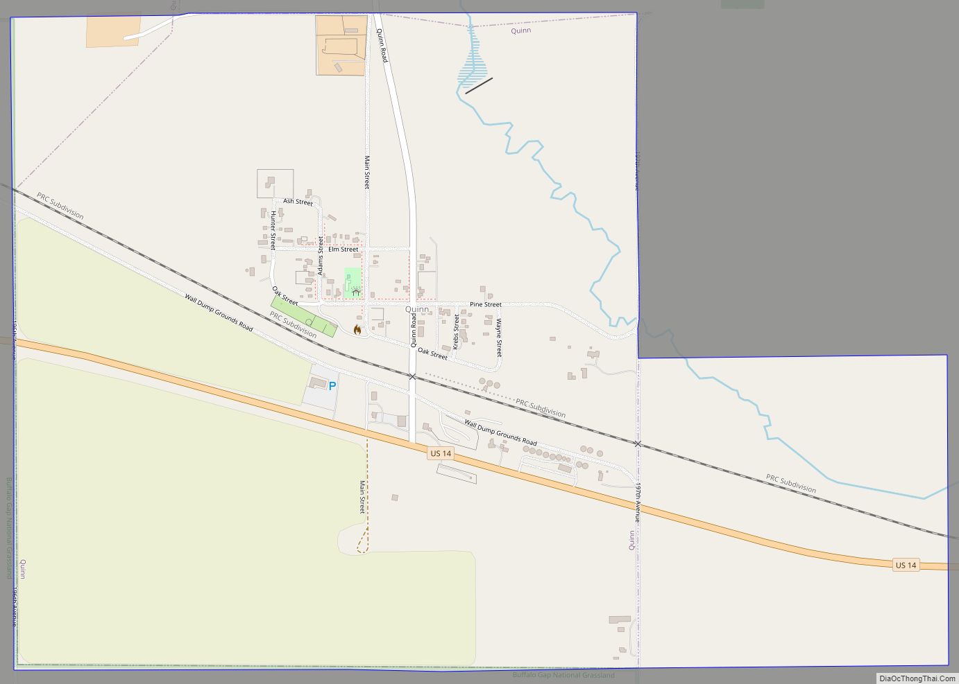
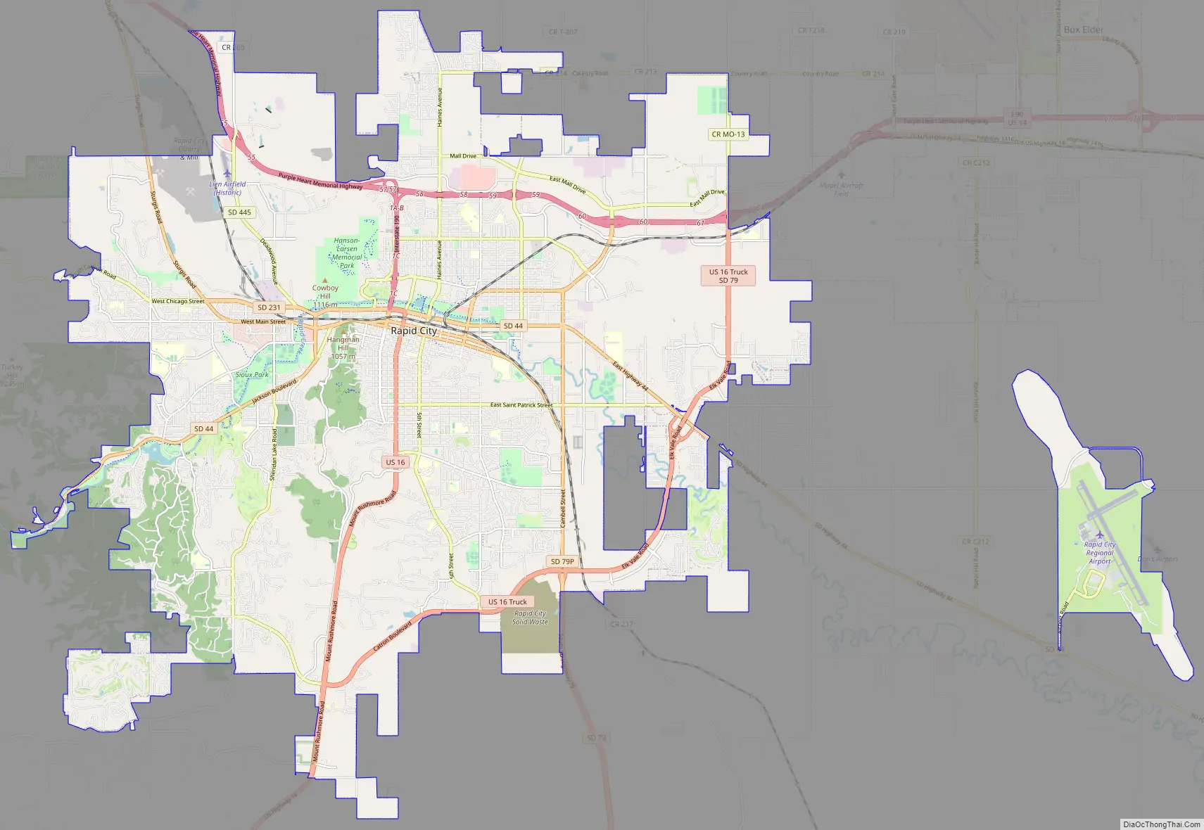
Online Interactive Map
Click on ![]() to view map in "full screen" mode.
to view map in "full screen" mode.
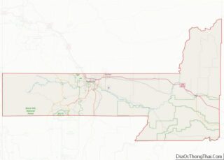
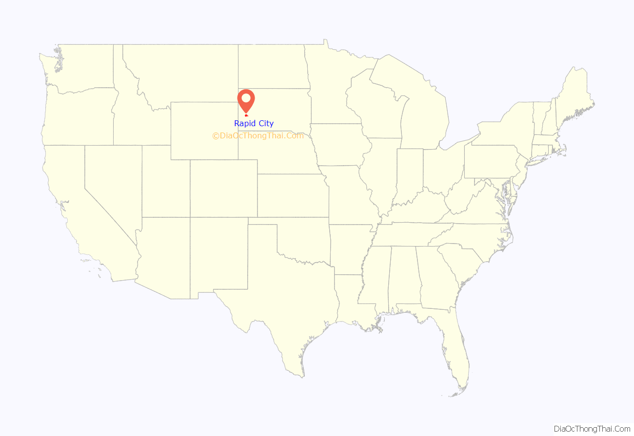
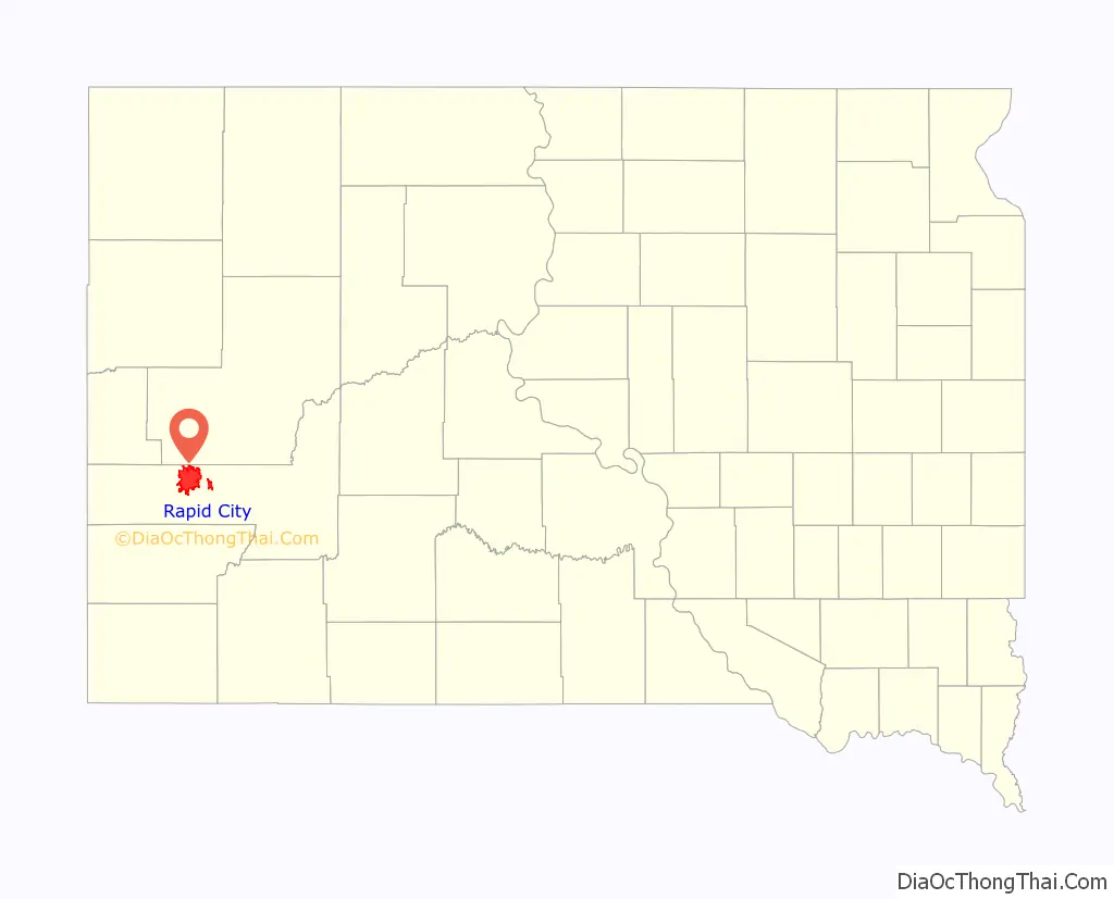
Rapid City location map. Where is Rapid City city?
History
The public discovery of gold in 1874 by the Black Hills Expedition, led by George Armstrong Custer, brought a mass influx of European-American miners and settlers into Rapid City. A group of unsuccessful miners founded Rapid City in 1876, trying to create other chances; they promoted their new city as the “Gateway to the Black Hills”; it was originally known as Hay Camp. The “Gateway” nickname is shared by neighboring Box Elder. In February 1876, John Richard Brennan and Samuel Scott, with a small group of men, laid out Rapid City. It was eventually named for the spring-fed Rapid Creek that flows through it.
The land speculators measured off a square mile and designated the six blocks in the center as a business section. Committees were appointed to recruit prospective merchants and their families to locate in the settlement. Such merchants soon began selling supplies to miners and pioneers. The city’s location on the edge of the Plains and Hills and its large river valley made it a natural hub for the railroads that were constructed in the late 1880s from both the south and east. By 1900, Rapid City had survived a boom and bust and was developing as an important regional trade center for the Upper Midwest.
The Black Hills had become popular in the late 1890s, but Rapid City became a more important destination in the 20th century. Local entrepreneurs promoted the sights, the availability of the automobile for individual transportation, and construction of improved roadways after World War I led to many more tourists to this area, including President Calvin Coolidge and the First Lady in summer 1927. Coolidge announced that he would not seek reelection in 1928 from his summer office in Rapid City. Gutzon Borglum, already a noted sculptor, began work on Mount Rushmore in 1927, and his son, Lincoln Borglum, continued the work after Gutzon’s death in 1941. The work was halted due to the US need to invest in buildup for its entry into World War II; the sculpture was declared complete in 1941. Although tourism had sustained the city throughout the Great Depression of the 1930s, gasoline rationing during World War II decimated such travel. But investments in the defense industry and other war-related growth stimulated the placement of new military installations in the area, bringing more businesses and residents.
In 1930, the Rapid City Chamber of Commerce sent a letter inviting Al Capone to live in the Black Hills. South Dakota’s governor did not support the idea, and Capone declined.
In the 1940s Rapid City benefited greatly from the opening of Rapid City Army Air Base, later Ellsworth Air Force Base, an Army Air Corps training base. The local population nearly doubled between 1940 and 1948, from almost 14,000 to nearly 27,000. Military families and civilian personnel soon took every available living space in town, and mobile home parks proliferated. Rapid City businesses profited from the military payroll.
During the Cold War, the government constructed missile installations in the area: a series of Nike Air Defense sites were constructed around Ellsworth in the 1950s. In the early 1960s three Titan missile launch sites were constructed; these contained a total of nine Titan I missiles in Rapid City’s general vicinity. Beginning in November 1963, the land for 100 miles east, northeast and northwest of the city was dotted with construction of 150 Minuteman missile silos and 15 launch command centers. They were all deactivated in the early 1990s.
In 1949, city officials envisioned the city as a retail and wholesale trade center for the region. They developed a plan for growth that focused on a civic center, more downtown parking, new schools, and paved streets. A construction boom continued into the 1950s. Growth slowed in the 1960s.
After the Black Hills Flood of 1972, the worst natural disaster in South Dakota history, a building boom took place over the next decade to replace damaged structures. On June 9, 1972, heavy rains caused massive flash flooding along Rapid Creek through the city, killing 238 people and destroying more than $100 million in property.
In response to this devastation, Rapid City received an outpouring of private donations and millions of dollars in federal aid. It was able to complete a major part of its 1949 plan: clearing the area along the Rapid Creek and making the floodplain a public park. In other areas, new homes and businesses were constructed to replace those that had been destroyed. Rushmore Plaza Civic Center and a new Central High School were built in part of the area that was cleared. The high school opened in 1978, with the graduating class that year attending classes in both the original school (housed in what is now Rapid City High School and community theater) and the new one.
The rebuilding generated construction and related jobs that partly insulated Rapid City from the drop in automotive tourism caused by the 1974 Oil Embargo, but tourism was depressed for most of a decade. In 1978, Rushmore Mall was built on the city’s north edge, enhancing the city’s status as a local retail center.
In 1980, the Supreme Court of the United States ruled in United States v. Sioux Nation of Indians that the federal government had illegally stolen the Black Hills from the Sioux people when it unilaterally broke a treaty guaranteeing the Black Hills to them. As a result, the federal government offered a financial settlement, but the Lakota Sioux declined on the principle that the theft of their land should not be validated. They still demand the return of the land. The settlement funds accrue interest. This land includes Rapid City, by far the largest modern settlement in the Black Hills. As of 2019, the dispute has not been settled.
In the 1980s, tourism increased again as the city hosted the annual Sturgis Motorcycle Rally; another decline occurred in the late 1990s. Fears that Ellsworth AFB would be closed under the BRAC review and base closure process in the 1990s and 2000s led to attempts to expand other sectors of the economy. Growth continued and the city expanded significantly during this period.
Today, Rapid City is South Dakota’s primary city for tourism and recreation. With the federal government’s approval of a Deep Underground Science and Engineering Laboratory at the Homestake Mine site in nearby Lead, Rapid City is primed for advancements in technology, medicine, and scientific research.
1972 Rapid Creek flood
On June 9–10, 1972, extremely heavy rains over the eastern Black Hills of South Dakota produced record floods on Rapid Creek and other streams in the area. Nearly 15 inches (380 mm) of rain fell in about six hours near Nemo, and more than 10 inches (250 mm) of rain fell over an area of 60 square miles (160 km). According to the Red Cross, the resulting peak floods (which occurred after dark) left 238 people dead and 3,057 people injured. Total property destruction was estimated in excess of $160 million (about $964 million in 2018 dollars), which included 1,335 homes and 5,000 automobiles that were destroyed.
Runoff from this storm produced record floods (highest peak flows recorded) along Battle, Spring, Rapid, and Box Elder creeks. Smaller floods also occurred along Elk and Bear Butte creeks. Canyon Lake Dam, on the west side of Rapid City, broke the night of the flood, unleashing a wall of water down the creek. The 1972 flooding has an estimated recurrence interval of 500 years, which means that a flood of this magnitude will occur on average once every 500 years. Every year there is a 0.2% chance (1 in 500) that a similar event will occur. To prevent similar damage, the city has prohibited residential and business construction on its flood plain. Today the flood plain is used for civic functions such as golf courses, parks, sports arenas, and arboretums, based mostly on the landscape and temporary use by people.
In 2007, the Rapid City Public Library created a 1972 Flood digital archive that collects survivors’ stories, photos and news accounts of the flood. The Journey Museum has an interactive display on the 1972 flood; this is an ongoing project to give future generations the best idea of how the people were affected and what changes the city made as a result of the major losses of life and property. Plans include the memorialization of all those who died from the flood by the preparation of individual biographies, so they may be remembered more fully.
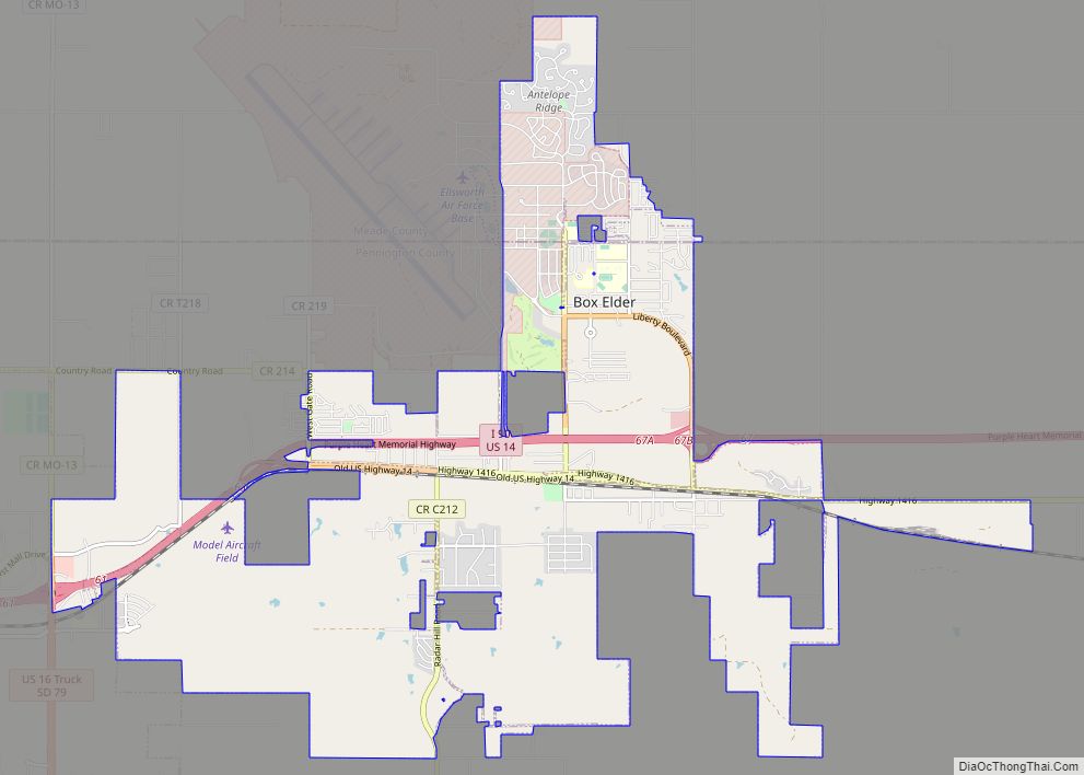
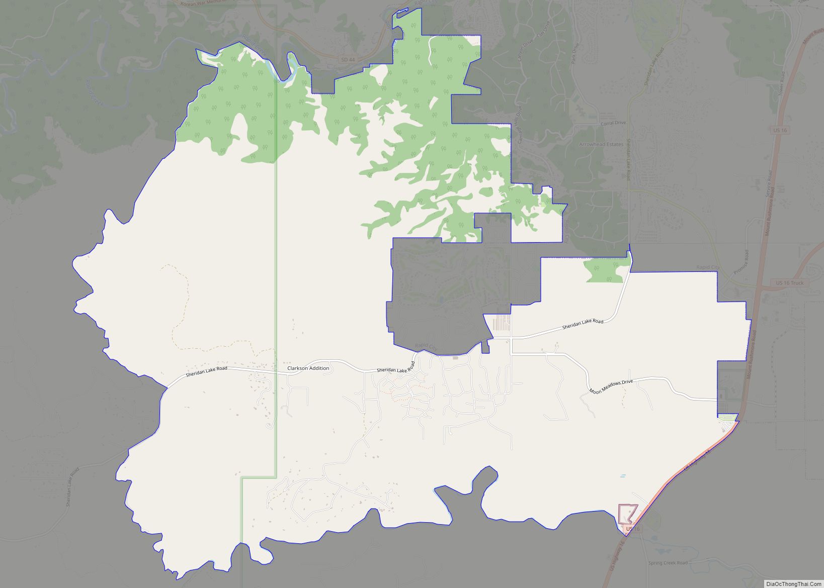
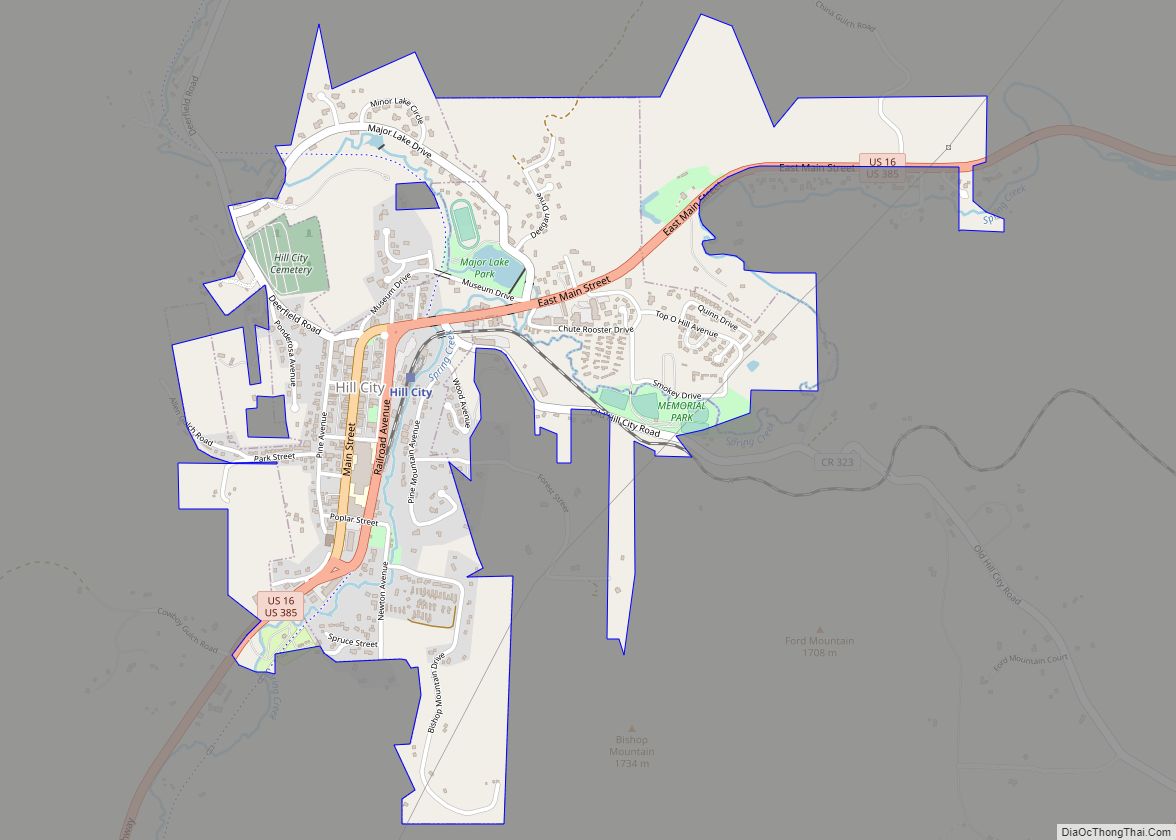
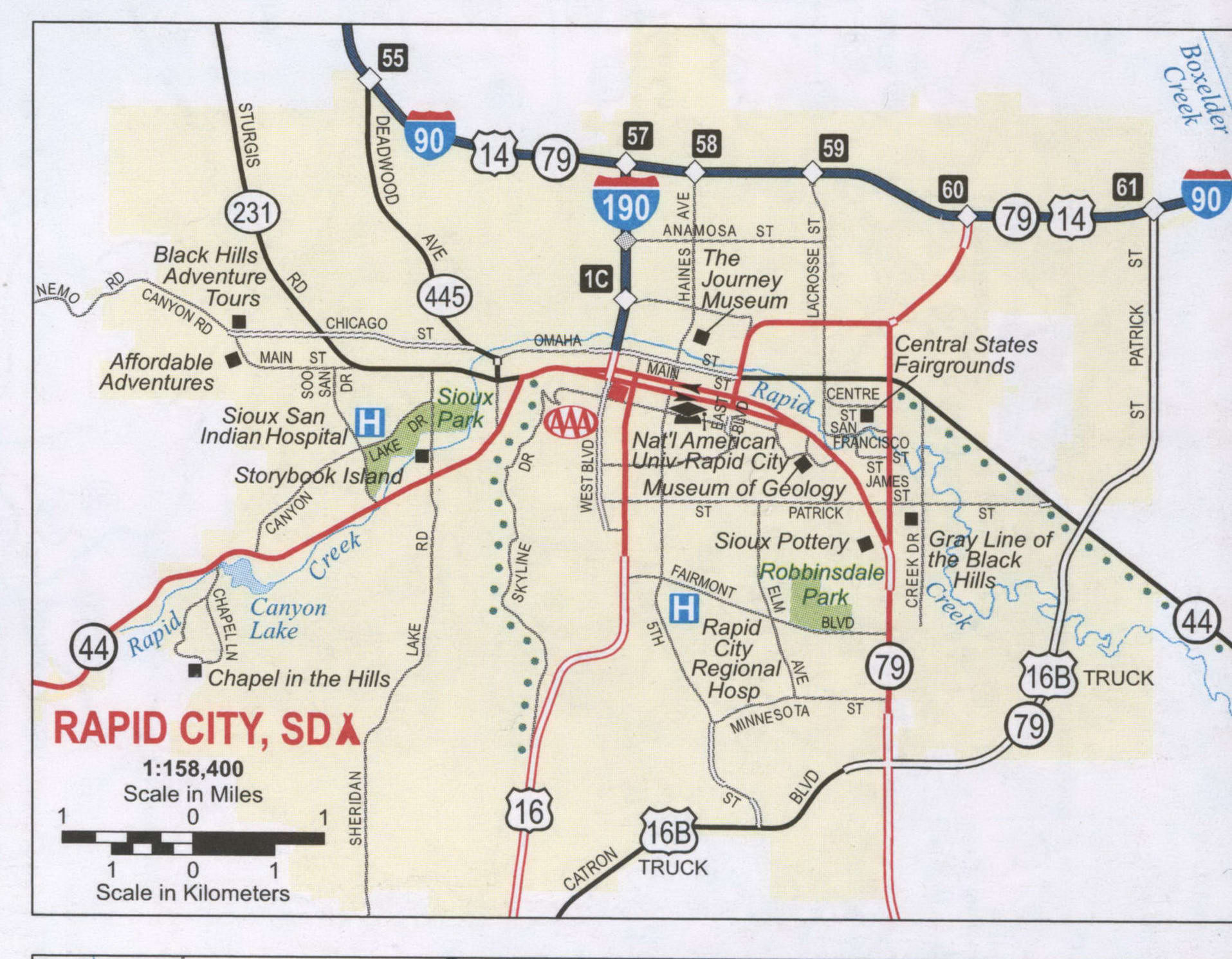
Rapid City Road Map
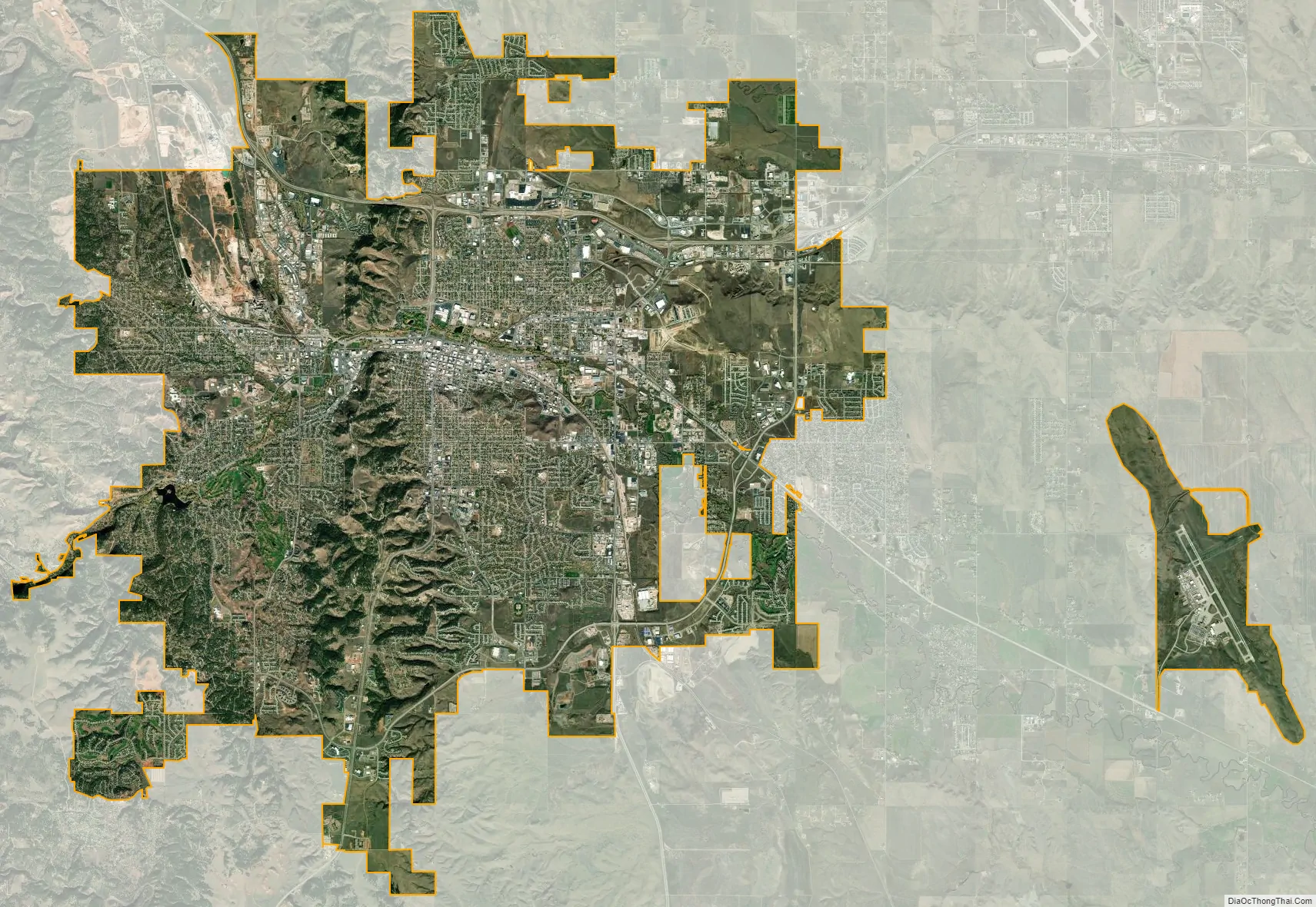
Rapid City city Satellite Map
Geography
Rapid City is located at 44°04′34″N 103°13′42″W / 44.076188°N 103.228299°W / 44.076188; -103.228299. The downtown elevation of Rapid City is 3,202 feet (976 m). Rapid City is located in the shadow of Black Elk Peak, which at 7,242 feet (2,207 m), is the highest point east of the Rocky Mountains.
According to the U.S. Census Bureau, the city has a total area of 55.49 square miles (143.71 km), of which 55.41 square miles (143.5 km) is land and 0.08 square mile (0.2 km) is water.
Rapid City is located on the eastern edge of the Black Hills, and has developed on each side of the Dakota Hogback. Rapid City’s “Westside” is located in the Red Valley between the foothills of the Black Hills proper and the Dakota Hogback, so named for the red Spearfish formation soils and the way the valley completely encircles the Black Hills. Rapid City has expanded into the foothills, with developments having been built on both ridges and in valleys developed, especially in the last 20 years. This arid edge area has a higher risk of wildfire, as shown by the Westberry Trails fire in 1988.
Skyline Drive follows the summits of the Dakota Hogback south from near Rapid Gap (where Rapid Creek cuts through the Hogback) to a large high plateau that forms the current south edge of Rapid City. The Central and Eastern portions of Rapid City lie in the wide valley of Rapid Creek outside the Hogback. It includes a number of mesas rising a hundred feet or more above the floodplain.
Rapid Creek
Rapid Creek flows through Rapid City, emerging from Dark Canyon above Canyon Lake and flowing in a large arc north of downtown. It descends to the southeast where the valley widens. Since the flood damage of 1972, the city has prohibited most development in the floodplain of Rapid Creek. It has adapted this green space for public uses: a series of parks, arboretums, and bike trails, which have reconnected the city to the creek for residents.
To the north, a series of ridges separate Rapid Creek from Box Elder Creek. Both older and new residential areas and commercial areas have developed here, along I-90. To the south, the terrain rises more steeply to the southern widening of the Dakota Hogback into a plateau dividing the Rapid Creek drainage from Spring Creek.
Climate
Rapid City features a temperate semi-arid climate (Köppen: BSk) bordering on a hot-summer humid continental climate (Köppen: Dwa), and is part of USDA Hardiness zone 5b. Its location makes its climate unlike both the higher elevations of the Black Hills to the west and the Great Plains to the east. It is characterized by long arid summers and long dry winters, with short but distinct spring and autumn seasons. Precipitation averages 17.44 inches or 443.0 millimetres annually, but has historically ranged from 9.12 inches or 231.6 millimetres in 1974 to 27.70 inches or 703.6 millimetres in 1946.
Winters are cold and dry, with January being the coldest month with a daily mean temperature of 24.3 °F or −4.3 °C. Chinook winds can warm temperatures above 50 °F or 10 °C, doing so on average about 20 times from December to February. Temperature inversions, however, occasionally produce warmer temperatures in the Black Hills. On average, highs do not climb above freezing on 43 days, while the low temperature reaches 0 °F or −17.8 °C on an average of 18 nights. Snowfall is frequent but usually not heavy; March and April are typically the snowiest months. The seasonal total averages 48.5 inches or 1.23 metres, although historically ranging from 16.9 inches or 0.43 metres during 1980–81 to 80.9 inches or 2.05 metres during 1985–86. Extensive snow cover does not remain for long, with only nine days seasonally with 5 inches or 0.13 metres or more on the ground. Measurable snow has occurred in every month except July.
Compared to locations in the east, the area warms rather gradually early in the year, with the last measurable snow typically occurring in late April and precipitation totals beginning to increase; May snow occurs several times per decade. Toward the middle of the year, storms typically develop over the Black Hills during the afternoon and move onto the plains in the evening. Only in April through June have calendar-day precipitation amounts exceeding 3 inches or 76.2 millimetres been observed. June 15, 1963, with 3.78 inches or 96.0 millimetres, holds the single-day rainfall record; the record-wettest month is May 1996 with 8.18 inches or 207.8 millimetres. Rapid City has an average of twenty clear to partly cloudy days and 67% of its possible sunshine in June. This is the traditional “flood” season for Rapid and other creeks in the Eastern Hills. Temperatures warm rapidly as summer approaches.
Summer in Rapid City has relatively pleasant temperatures, and is relatively dry (following a wet spring), and relatively sunny. July is the warmest month of the year, having a daily mean temperature of 72.4 °F (22.4 °C). An average of 32 days reach 90 °F (32.2 °C)+ highs and 5 with 100 °F (37.8 °C)+ highs. Due to the elevation and aridity, lows rarely remain at or above 70 °F (21.1 °C) and during July and August fall to or below 50 °F or 10 °C on an average 7.6 days. Rapid City records an average of nine thunderstorm days in August, but only 1.56 inches or 39.6 millimetres of rain in that month.
Fall is a transition season: the average first freeze occurs in Rapid City on October 4 and in the Black Hills in late August through September. The Rapid City area’s first snowfall is usually in October, although higher elevations sometimes receive significant snow in September. Occasional cold fronts moving through the area bring blustery northwest winds.
Sunshine is abundant in the region in all months except December, averaging 2850 hours, 64% of the possible total, per year.
Rapid City holds the record for an extreme temperature drop of 47 °F or 26.1 °C, which was achieved on January 10, 1911, from 60 °F or 16 °C to 13 °F or −11 °C. Official extreme temperatures range from −31 °F or −35 °C on February 2, 1996, up to 111 °F or 44 °C on July 15, 2006; the record low daily maximum is −18 °F or −28 °C on February 2, 1989, while the record high daily minimum is 75 °F or 24 °C on July 8, 1985, and July 28, 1960.
See also
Map of South Dakota State and its subdivision:- Aurora
- Beadle
- Bennett
- Bon Homme
- Brookings
- Brown
- Brule
- Buffalo
- Butte
- Campbell
- Charles Mix
- Clark
- Clay
- Codington
- Corson
- Custer
- Davison
- Day
- Deuel
- Dewey
- Douglas
- Edmunds
- Fall River
- Faulk
- Grant
- Gregory
- Haakon
- Hamlin
- Hand
- Hanson
- Harding
- Hughes
- Hutchinson
- Hyde
- Jackson
- Jerauld
- Jones
- Kingsbury
- Lake
- Lawrence
- Lincoln
- Lyman
- Marshall
- McCook
- McPherson
- Meade
- Mellette
- Miner
- Minnehaha
- Moody
- Pennington
- Perkins
- Potter
- Roberts
- Sanborn
- Shannon
- Spink
- Stanley
- Sully
- Todd
- Tripp
- Turner
- Union
- Walworth
- Yankton
- Ziebach
- Alabama
- Alaska
- Arizona
- Arkansas
- California
- Colorado
- Connecticut
- Delaware
- District of Columbia
- Florida
- Georgia
- Hawaii
- Idaho
- Illinois
- Indiana
- Iowa
- Kansas
- Kentucky
- Louisiana
- Maine
- Maryland
- Massachusetts
- Michigan
- Minnesota
- Mississippi
- Missouri
- Montana
- Nebraska
- Nevada
- New Hampshire
- New Jersey
- New Mexico
- New York
- North Carolina
- North Dakota
- Ohio
- Oklahoma
- Oregon
- Pennsylvania
- Rhode Island
- South Carolina
- South Dakota
- Tennessee
- Texas
- Utah
- Vermont
- Virginia
- Washington
- West Virginia
- Wisconsin
- Wyoming