Map of Wartrace town
Wartrace is a town in Bedford County, Tennessee, United States. The population was 548 at the 2000 census and 651 at the 2010 census. It is located northeast of Shelbyville. The downtown area is listed on the National Register of Historic Places as the Wartrace Historic District. Wartrace is a hub of the Tennessee Walking ... Read more
Map of Wartrace town
Map of Whiteville town, Tennessee
Whiteville is a town in Hardeman County, Tennessee, United States. The population was 2,606 at the 2020 census and 4,638 at the 2010 census, Whiteville is the location of two privately owned prisons, Whiteville Correctional Facility and Hardeman County Correctional Center. Whiteville town overview: Name: Whiteville town LSAD Code: 43 LSAD Description: town (suffix) State: ... Read more
Map of Whiteville town, Tennessee
Map of White Pine town, Tennessee
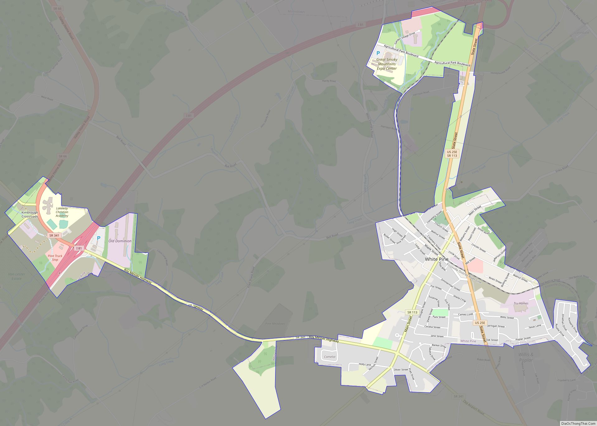
White Pine is a town in Jefferson and Hamblen counties in Tennessee, United States. It is part of the Morristown Metropolitan Statistical Area. The population was 2,471 at the 2020 census. White Pine town overview: Name: White Pine town LSAD Code: 43 LSAD Description: town (suffix) State: Tennessee County: Hamblen County, Jefferson County Founded: 1870 ... Read more
Map of White Pine town, Tennessee
Map of White House city
White House is a city in Robertson and Sumner counties in the United States state of Tennessee. The population was listed as 12,982 in the 2020 census. It is approximately twenty-two miles north of downtown Nashville. White House city overview: Name: White House city LSAD Code: 25 LSAD Description: city (suffix) State: Tennessee County: Robertson ... Read more
Map of White House city
Map of White Bluff town
White Bluff is a town in Dickson County, Tennessee, United States. The population was 3,862 at the 2020 census and 3,206 at the 2010 census. The community name derives from the White Bluff Iron Forge. White Bluff town overview: Name: White Bluff town LSAD Code: 43 LSAD Description: town (suffix) State: Tennessee County: Dickson County ... Read more
Map of White Bluff town
Map of Westmoreland town, Tennessee
Westmoreland is a town in Sumner County, Tennessee, and is bordering southern Kentucky. The population was 2,093 at the 2000 census and 2,206 at the 2010 census. The town name was inspired by a wealthy lumberman from North Carolina, sharing the same name. Westmoreland town overview: Name: Westmoreland town LSAD Code: 43 LSAD Description: town ... Read more
Map of Westmoreland town, Tennessee
Map of Waynesboro city, Tennessee
Waynesboro is a city in and the county seat of Wayne County, Tennessee, United States. The population was 2,449 at the 2010 census, up from 2,228 in 2000. Waynesboro city overview: Name: Waynesboro city LSAD Code: 25 LSAD Description: city (suffix) State: Tennessee County: Wayne County Incorporated: 1850 Elevation: 748 ft (228 m) Total Area: 4.28 sq mi (11.10 km²) ... Read more
Map of Waynesboro city, Tennessee
Map of Waverly city, Tennessee
Waverly is a city in and the county seat of Humphreys County, Tennessee, United States. The population was 4,297 at the 2020 census. Waverly city overview: Name: Waverly city LSAD Code: 25 LSAD Description: city (suffix) State: Tennessee County: Humphreys County Incorporated: 1838 Elevation: 535 ft (163 m) Total Area: 8.71 sq mi (22.57 km²) Land Area: 8.71 sq mi (22.57 km²) Water ... Read more
Map of Waverly city, Tennessee
Map of Watertown city, Tennessee
Watertown is a town located in Wilson County, Tennessee. The population was 1,477 at the 2010 census .The population then raised to 1,556 after the 2020 census. It is located southeast of Lebanon, and northwest of Smithville. Watertown city overview: Name: Watertown city LSAD Code: 25 LSAD Description: city (suffix) State: Tennessee County: Wilson County ... Read more
Map of Watertown city, Tennessee
Map of Woodland Mills city
Woodland Mills is a city in Obion County, Tennessee, United States. The population was 378 at the 2010 census. It is part of the Union City, TN–KY Micropolitan Statistical Area. Woodland Mills city overview: Name: Woodland Mills city LSAD Code: 25 LSAD Description: city (suffix) State: Tennessee County: Obion County Incorporated: 1968 Elevation: 364 ft (111 m) ... Read more
Map of Woodland Mills city
Map of Woodbury town, Tennessee
Woodbury is a town in Cannon County, Tennessee, United States. Woodbury is part of the Nashville Metropolitan Statistical Area and is located 55 miles (89 km) southeast of downtown Nashville. The population of Woodbury was 2,680 at the 2010 census. It is the county seat of Cannon County. Woodbury town overview: Name: Woodbury town LSAD Code: ... Read more
Map of Woodbury town, Tennessee
Map of Winfield town, Tennessee
Winfield is a town in Scott County, Tennessee, United States. Originally named Chitwood in the late 18th century for Revolutionary War hero Captain James Chitwood after his family settled the area extensively, the name was changed following the Civil War due to the family’s mixed allegiances. The population was 947 at the 2020 census and ... Read more
Map of Winfield town, Tennessee