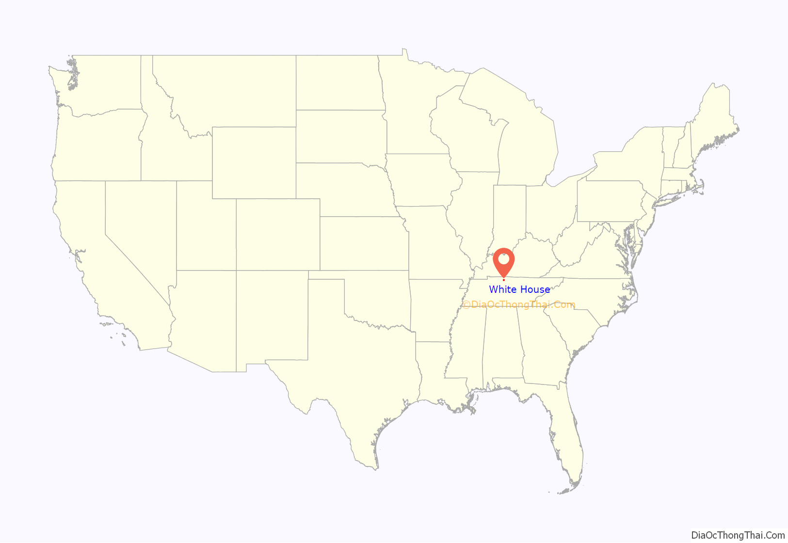
White House is a city in Robertson and Sumner counties in the United States state of Tennessee. The population was listed as 12,982 in the 2020 census. It is approximately twenty-two miles north of downtown Nashville.
| Name: | White House city |
|---|---|
| LSAD Code: | 25 |
| LSAD Description: | city (suffix) |
| State: | Tennessee |
| County: | Robertson County, Sumner County |
| Incorporated: | 1921 |
| Elevation: | 863 ft (263 m) |
| Total Area: | 11.48 sq mi (29.74 km²) |
| Land Area: | 11.48 sq mi (29.74 km²) |
| Water Area: | 0.00 sq mi (0.00 km²) |
| Total Population: | 12,982 |
| Population Density: | 1,130.44/sq mi (436.47/km²) |
| ZIP code: | 37188 |
| Area code: | 615 |
| FIPS code: | 4780200 |
| GNISfeature ID: | 1304522 |
| Website: | cityofwhitehouse.com |
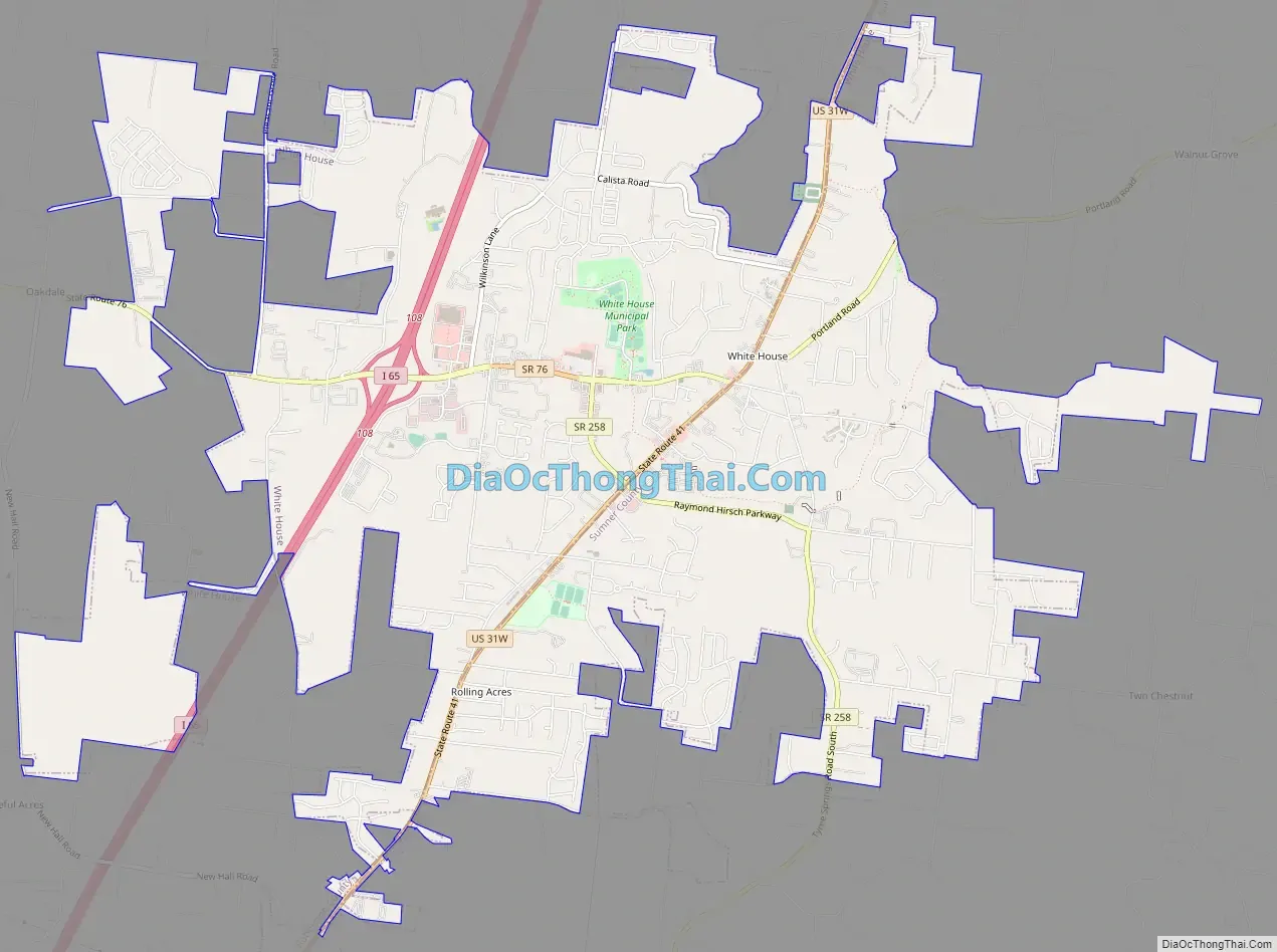
Online Interactive Map
Click on ![]() to view map in "full screen" mode.
to view map in "full screen" mode.
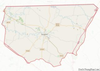
White House location map. Where is White House city?

History
Settlers
The area that is now White House was purchased around 1828 by Richard Stone Wilks, a settler from Virginia. A trail running from Kentucky to Nashville, originally created by Native Americans, cut through the area. This trail was originally known as the Louisville & Nashville Turnpike during the mid-19th century. In 1928, the trail was renamed US Highway 31W.
Naming the town
In the mid-19th century, the Carter, Thomas, and Hough Stagecoach Company traveled the L&N Turnpike carrying passengers. A typical stop along the way was a white, two-story house built by Wilks in 1829. The house was a popular stop for lodging, food, and changing out horses. President Andrew Jackson was even heard to have stayed here during his travels between his home and the White House. During this time, houses were rarely painted white, particularly in this underdeveloped area. The stage coach drivers began to call this stop and the surrounding area White House.
Original White House torn down, building replaced
The monument for which the town was named was torn down in 1951 to make way for new development. However, in 1986, the community erected a replica of the original building. The reproduction, called the White House Inn Library and Museum, currently sits in the center of town next to the Fire Department. It contains the library, a museum with artifacts from the area’s early years, and the city’s Chamber of Commerce. In 2015, the replica White House Inn Library and Museum was turned solely into a museum and Chamber of Commerce after the city built a new library.
Growth and development
White House was incorporated in 1971. Currently, the young town is experiencing population growth, economic progress, and community development, with many apartment projects and subdivisions planned for the area. There are over 800 homes planned for the area, and at least 5 apartment subdivisions are planned for the city. The city is located north of Nashville within the greater Nashville region, and is anticipated to grow rapidly in the future as a suburb of Nashville.
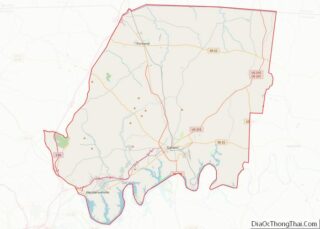
White House Road Map
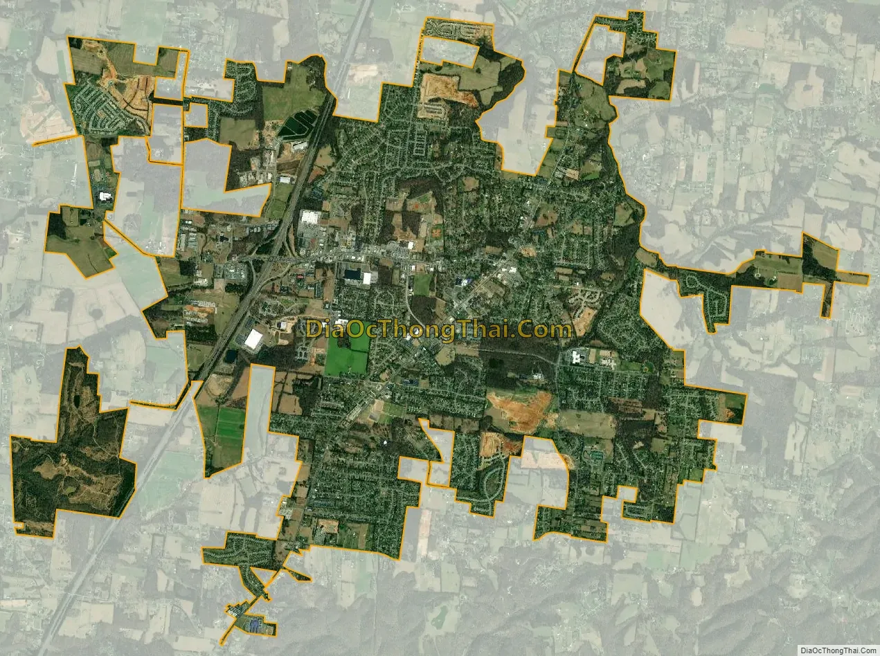
White House city Satellite Map
Geography
According to the United States Census Bureau, the city has a total area of 9.0 square miles (23.2 km), all land.
White House is located along Interstate 65 at the intersection of State Highway 76 and US Highway 31W. The town, as of 2007, covers eleven square miles and is situated about 22 miles (35 km) north of downtown Nashville, lying in both Robertson and Sumner Counties.
See also
Map of Tennessee State and its subdivision:- Anderson
- Bedford
- Benton
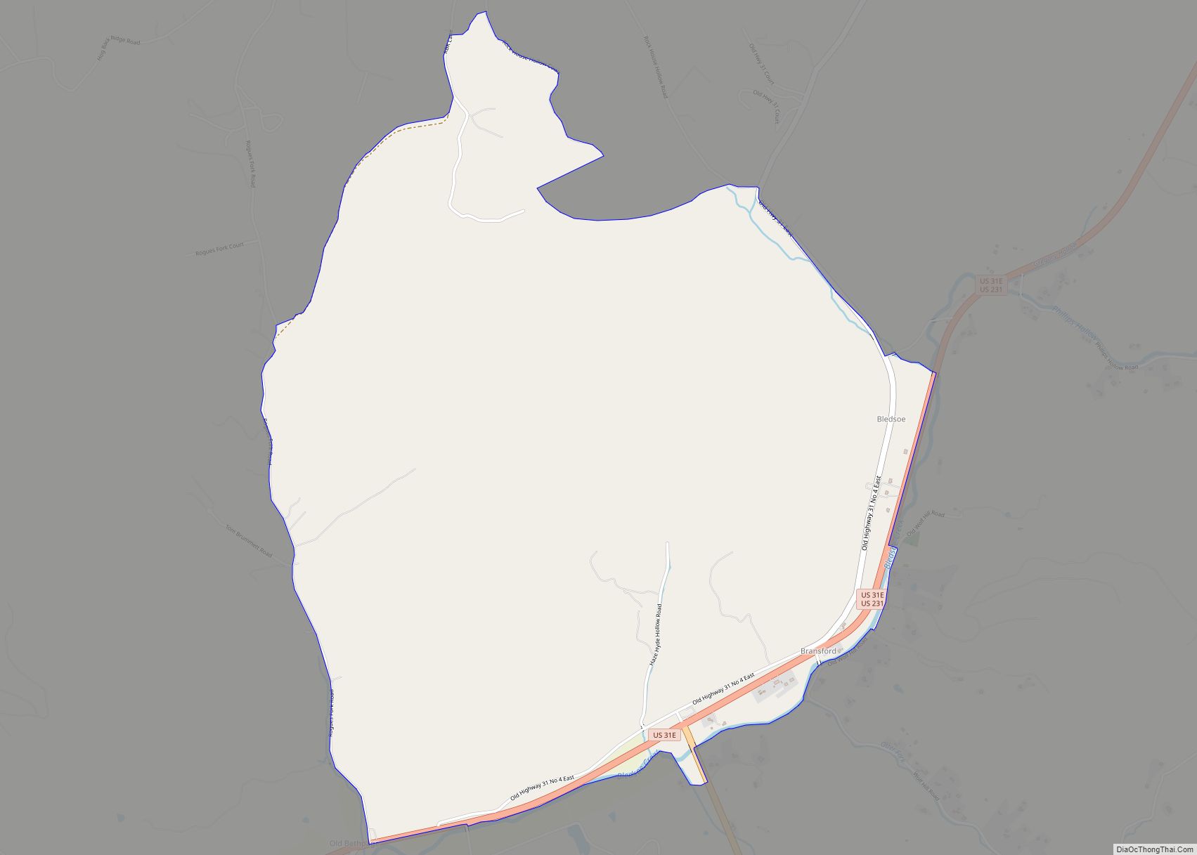
- Bledsoe
- Blount
- Bradley
- Campbell
- Cannon
- Carroll
- Carter
- Cheatham
- Chester
- Claiborne
- Clay
- Cocke
- Coffee
- Crockett
- Cumberland
- Davidson
- Decatur
- DeKalb
- Dickson
- Dyer
- Fayette
- Fentress
- Franklin
- Gibson
- Giles
- Grainger
- Greene
- Grundy
- Hamblen
- Hamilton
- Hancock
- Hardeman
- Hardin
- Hawkins
- Haywood
- Henderson
- Henry
- Hickman
- Houston
- Humphreys
- Jackson
- Jefferson
- Johnson
- Knox
- Lake
- Lauderdale
- Lawrence
- Lewis
- Lincoln
- Loudon
- Macon
- Madison
- Marion
- Marshall
- Maury
- McMinn
- McNairy
- Meigs
- Monroe
- Montgomery
- Moore
- Morgan
- Obion
- Overton
- Perry
- Pickett
- Polk
- Putnam
- Rhea
- Roane
- Robertson
- Rutherford
- Scott
- Sequatchie
- Sevier
- Shelby
- Smith
- Stewart
- Sullivan
- Sumner
- Tipton
- Trousdale
- Unicoi
- Union
- Van Buren
- Warren
- Washington
- Wayne
- Weakley
- White
- Williamson
- Wilson
- Alabama
- Alaska
- Arizona
- Arkansas
- California
- Colorado
- Connecticut
- Delaware
- District of Columbia
- Florida
- Georgia
- Hawaii
- Idaho
- Illinois
- Indiana
- Iowa
- Kansas
- Kentucky
- Louisiana
- Maine
- Maryland
- Massachusetts
- Michigan
- Minnesota
- Mississippi
- Missouri
- Montana
- Nebraska
- Nevada
- New Hampshire
- New Jersey
- New Mexico
- New York
- North Carolina
- North Dakota
- Ohio
- Oklahoma
- Oregon
- Pennsylvania
- Rhode Island
- South Carolina
- South Dakota
- Tennessee
- Texas
- Utah
- Vermont
- Virginia
- Washington
- West Virginia
- Wisconsin
- Wyoming