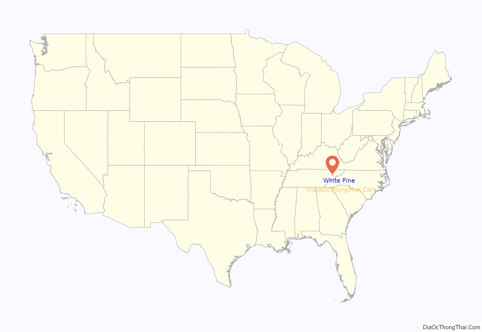
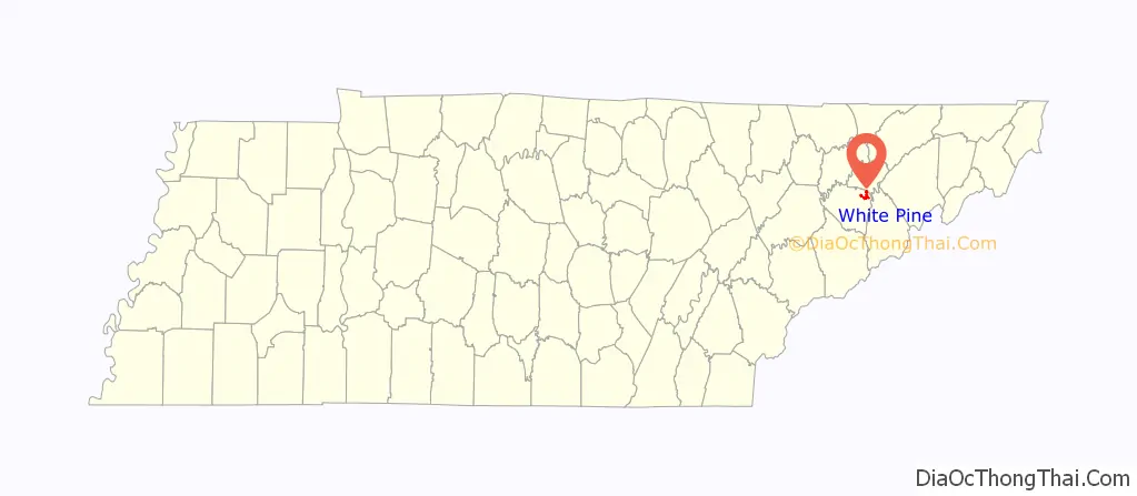
White Pine is a town in Jefferson and Hamblen counties in Tennessee, United States. It is part of the Morristown Metropolitan Statistical Area. The population was 2,471 at the 2020 census.
| Name: | White Pine town |
|---|---|
| LSAD Code: | 43 |
| LSAD Description: | town (suffix) |
| State: | Tennessee |
| County: | Hamblen County, Jefferson County |
| Founded: | 1870 |
| Incorporated: | 1915 |
| Elevation: | 1,148 ft (350 m) |
| Total Area: | 2.87 sq mi (7.44 km²) |
| Land Area: | 2.87 sq mi (7.44 km²) |
| Water Area: | 0.00 sq mi (0.00 km²) |
| Total Population: | 2,471 |
| Population Density: | 860.38/sq mi (332.16/km²) |
| ZIP code: | 37890 |
| Area code: | 865 |
| FIPS code: | 4780360 |
| GNISfeature ID: | 2406879 |
| Website: | whitepinetn.gov |
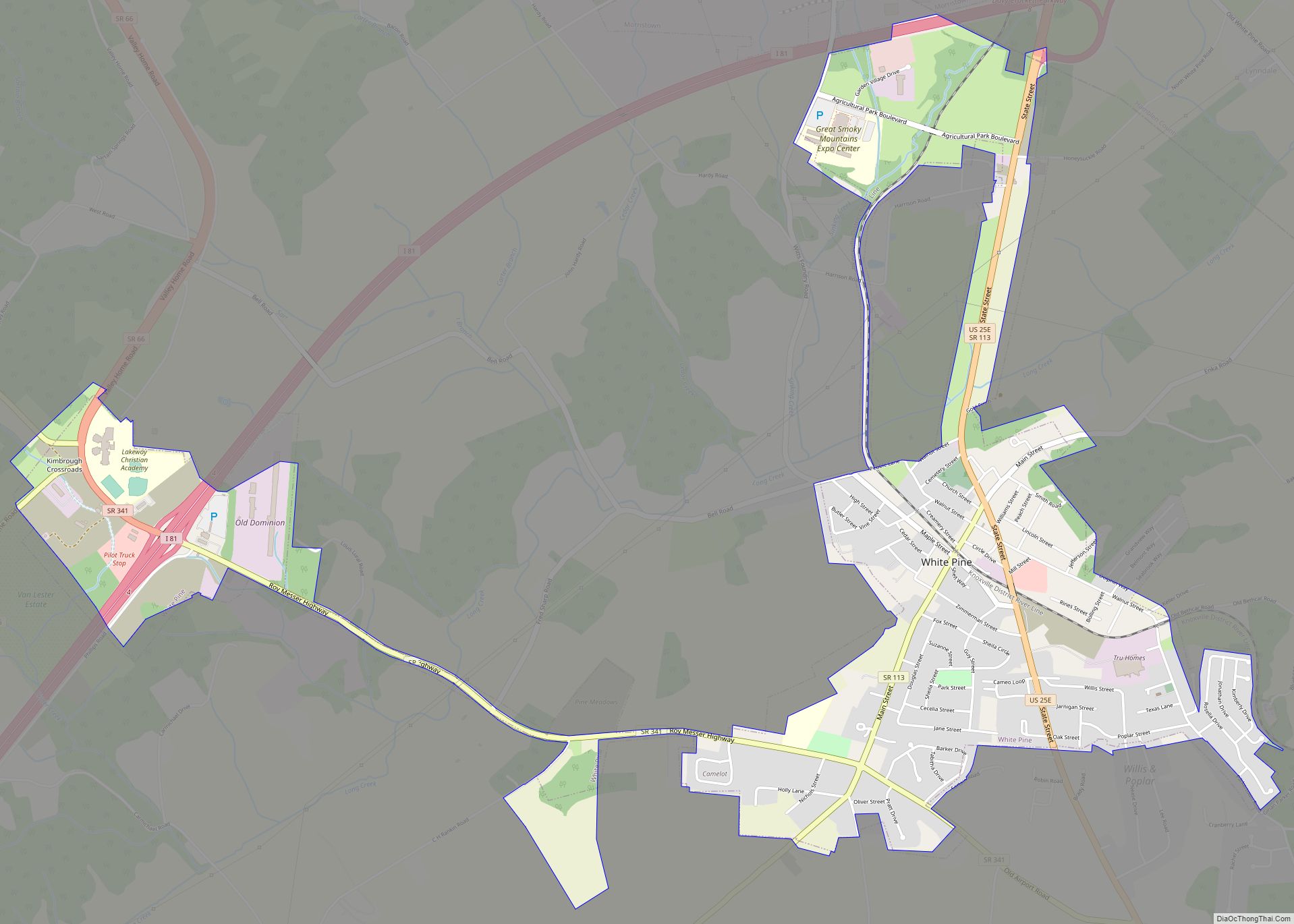
Online Interactive Map
Click on ![]() to view map in "full screen" mode.
to view map in "full screen" mode.
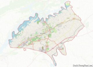
White Pine location map. Where is White Pine town?
History
Before the settlement of the area by European settlers, the White Pine area was inhabited by an early group of Woodland Indians. The area was used by the group as a site for several large burial grounds and a trail used later by settlers of the community.
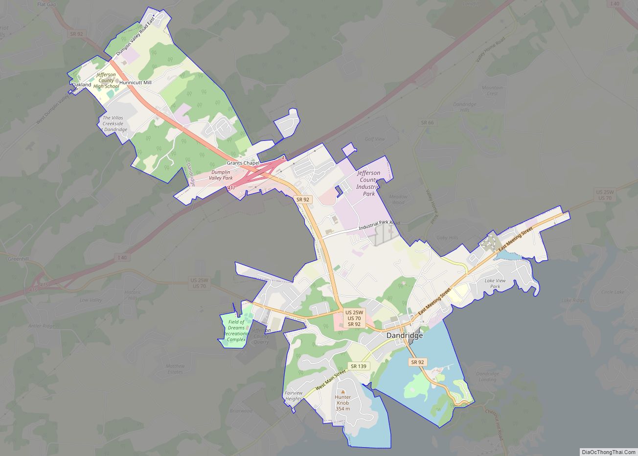
European settlers first arrived in present day White Pine during the final years of the American Revolutionary War. The community was originally known as “Dandridge Crossing”, based on its proximity to the Jefferson County seat, Dandridge. After the American Civil War, a railroad route was constructed in the area, crossing a prominent stagecoach path. The town was later founded in 1870 due to the growth of the area. The town was renamed to White Pine in 1873, after a large pine tree that once stood along Main Street. Twenty years later, White Pine was officially incorporated.
In 1905, a major portion of the town’s downtown district was lost in a major fire, leading to the later dissolution of the town, In 1915, White Pine incorporated once again into a town after the completion of rebuilding efforts in the central business district. During the 19th and early 20th century, several businesses were established in the downtown area, including a medical clinic, a pharmacy, a hardware store, and a grocery store.
In 1926, White Pine High School was built in the town. It remained operational until 1976.
In 1963, construction began on Interstate 81 in White Pine. The later completion of I-81 prompted the relocation of businesses from White Pine’s central business district to along the exits of I-81.
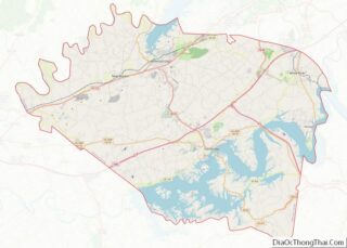
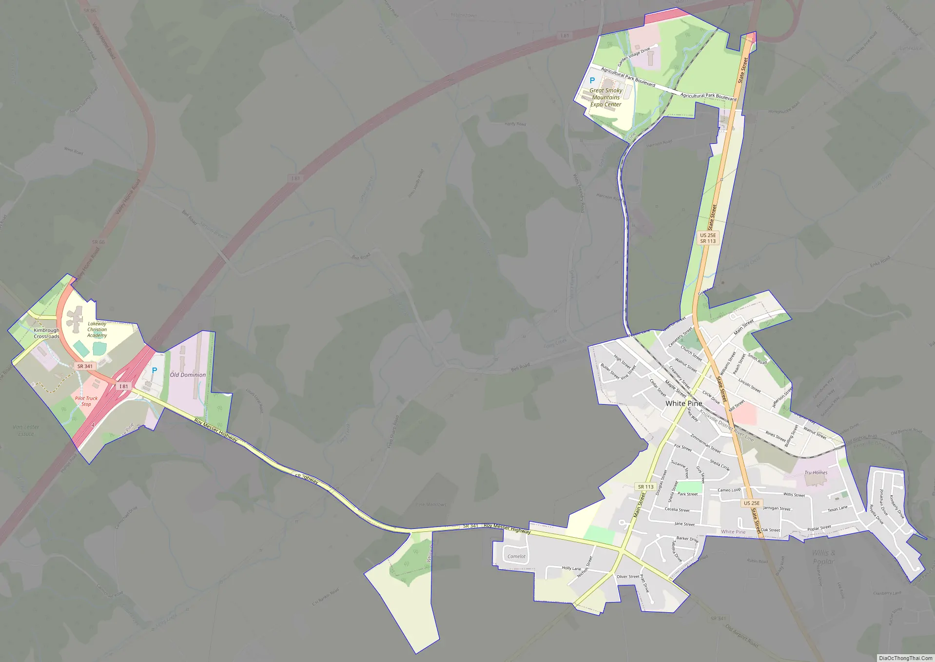
White Pine Road Map
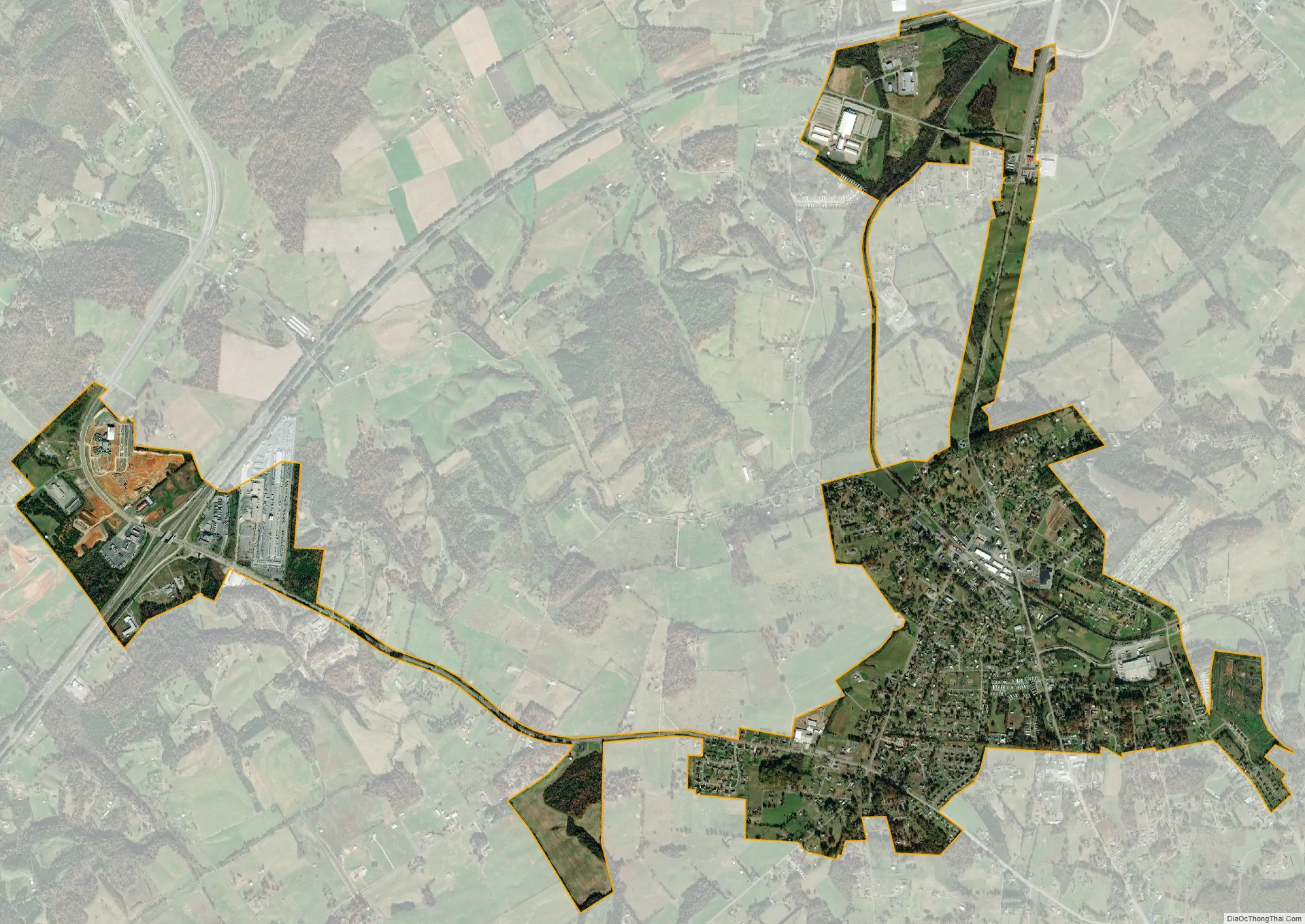
White Pine city Satellite Map
Geography
White Pine is located in northeastern Jefferson County at 36°6′31″N 83°17′31″W / 36.10861°N 83.29194°W / 36.10861; -83.29194 (36.108500, -83.291869). The town limits extend north to the Hamblen County line, crossing into Hamblen County at Interstate 81 exit 8.
According to the United States Census Bureau, the town has a total area of 2.6 square miles (6.8 km), all land.
It is about 40 miles (64 km) east of Knoxville. The Southern and Southeastern border of White Pine runs along the Douglas Lake.
See also
Map of Tennessee State and its subdivision:- Anderson
- Bedford
- Benton
- Bledsoe
- Blount
- Bradley
- Campbell
- Cannon
- Carroll
- Carter
- Cheatham
- Chester
- Claiborne
- Clay
- Cocke
- Coffee
- Crockett
- Cumberland
- Davidson
- Decatur
- DeKalb
- Dickson
- Dyer
- Fayette
- Fentress
- Franklin
- Gibson
- Giles
- Grainger
- Greene
- Grundy
- Hamblen
- Hamilton
- Hancock
- Hardeman
- Hardin
- Hawkins
- Haywood
- Henderson
- Henry
- Hickman
- Houston
- Humphreys
- Jackson
- Jefferson
- Johnson
- Knox
- Lake
- Lauderdale
- Lawrence
- Lewis
- Lincoln
- Loudon
- Macon
- Madison
- Marion
- Marshall
- Maury
- McMinn
- McNairy
- Meigs
- Monroe
- Montgomery
- Moore
- Morgan
- Obion
- Overton
- Perry
- Pickett
- Polk
- Putnam
- Rhea
- Roane
- Robertson
- Rutherford
- Scott
- Sequatchie
- Sevier
- Shelby
- Smith
- Stewart
- Sullivan
- Sumner
- Tipton
- Trousdale
- Unicoi
- Union
- Van Buren
- Warren
- Washington
- Wayne
- Weakley
- White
- Williamson
- Wilson
- Alabama
- Alaska
- Arizona
- Arkansas
- California
- Colorado
- Connecticut
- Delaware
- District of Columbia
- Florida
- Georgia
- Hawaii
- Idaho
- Illinois
- Indiana
- Iowa
- Kansas
- Kentucky
- Louisiana
- Maine
- Maryland
- Massachusetts
- Michigan
- Minnesota
- Mississippi
- Missouri
- Montana
- Nebraska
- Nevada
- New Hampshire
- New Jersey
- New Mexico
- New York
- North Carolina
- North Dakota
- Ohio
- Oklahoma
- Oregon
- Pennsylvania
- Rhode Island
- South Carolina
- South Dakota
- Tennessee
- Texas
- Utah
- Vermont
- Virginia
- Washington
- West Virginia
- Wisconsin
- Wyoming