Watauga /wəˈtɔːɡə/ is a city in Carter and Washington counties in the U.S. state of Tennessee. The population was 403 at the 2000 census and 458 at the 2010 census. It is part of the Johnson City Metropolitan Statistical Area, which is a component of the Johnson City–Kingsport–Bristol, TN-VA Combined Statistical Area – commonly known as the “Tri-Cities” region.
| Name: | Watauga city |
|---|---|
| LSAD Code: | 25 |
| LSAD Description: | city (suffix) |
| State: | Tennessee |
| County: | Carter County, Washington County |
| Incorporated: | 1960 |
| Elevation: | 1,453 ft (443 m) |
| Total Area: | 0.90 sq mi (2.33 km²) |
| Land Area: | 0.87 sq mi (2.26 km²) |
| Water Area: | 0.03 sq mi (0.07 km²) |
| Total Population: | 353 |
| Population Density: | 404.35/sq mi (156.13/km²) |
| ZIP code: | 37694 |
| Area code: | 423 |
| FIPS code: | 4778240 |
| GNISfeature ID: | 1327319 |
Online Interactive Map
Click on ![]() to view map in "full screen" mode.
to view map in "full screen" mode.
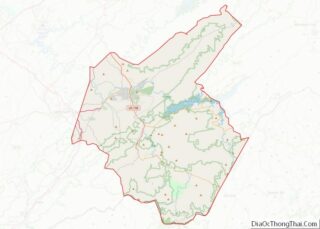
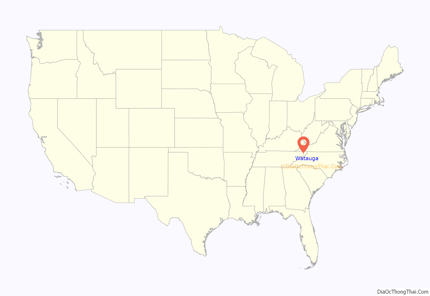
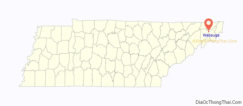
Watauga location map. Where is Watauga city?
History
Some of the earliest European pioneers in Tennessee settled in the vicinity of Watauga in the mid-18th century. William Bean, traditionally recognized as Tennessee’s first white settler, built his cabin at the mouth of Boone Creek, 7 miles (11 km) downstream from modern Watauga, in 1769. The Watauga Association, an early frontier government, operated out of nearby Elizabethton in the 1770s.
When the East Tennessee and Virginia Railroad (ET&V) was built in the 1850s, a railroad stop known as Carter’s Depot, or Carter’s Station, was established at what is now Watauga, where a trestle had been erected to carry the tracks across the Watauga River. Carter’s Depot consisted of a water tank, several storage buildings, a telegraph office, and a post office.
The trestle at Carter’s Depot held immense strategic importance during the Civil War, as the ET&V was part of a vital supply line connecting Virginia with the rest of the South. The trestle was among those targeted by the East Tennessee bridge burnings in November 1861, though the conspirators found it too heavily guarded by Confederates. In late December 1862, General Samuel P. Carter conducted a raid into the region, overwhelming the Confederate detachment at Carter’s Depot before destroying the trestle. On October 1, 1864, a skirmish took place at Carter’s Depot, with Union forces under General Alvan C. Gillem pushing Confederates led by John C. Vaughn across the river.
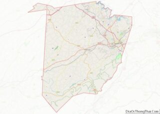
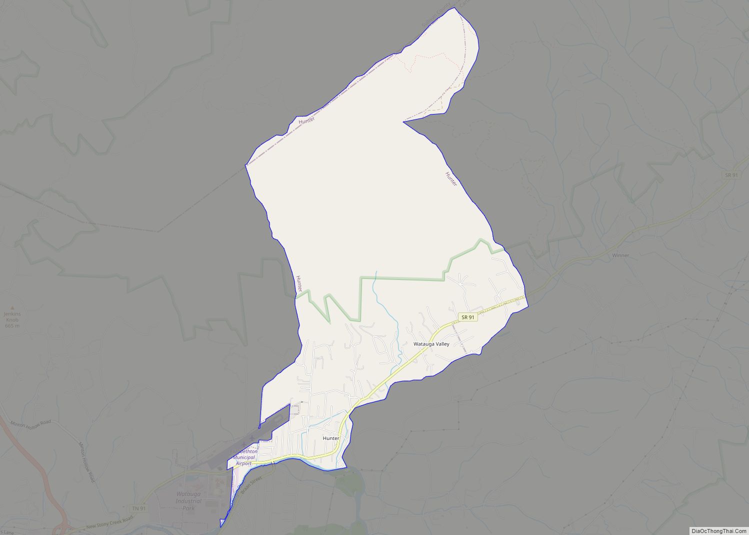
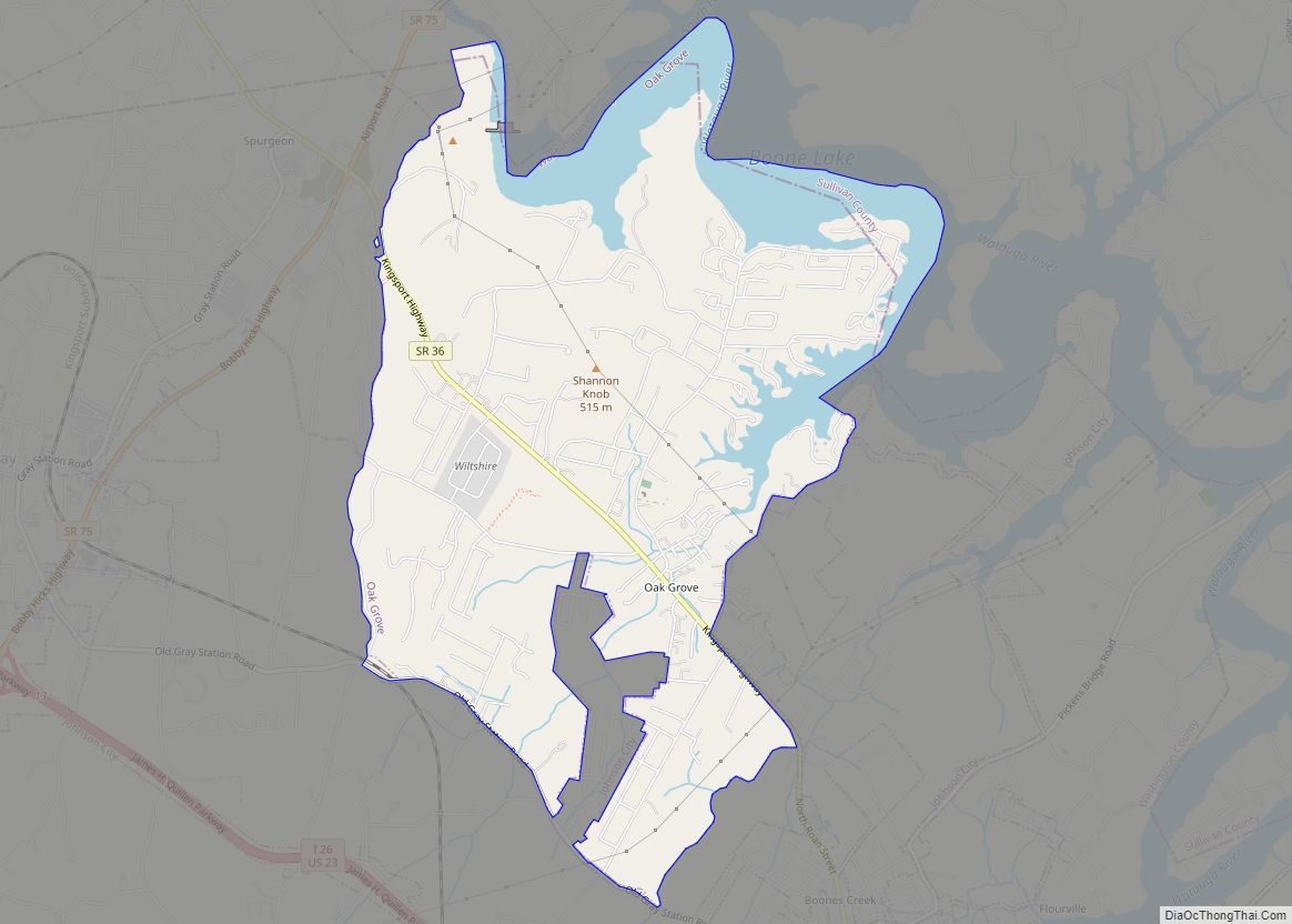
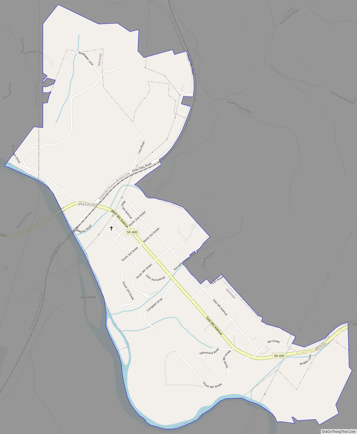
Watauga Road Map
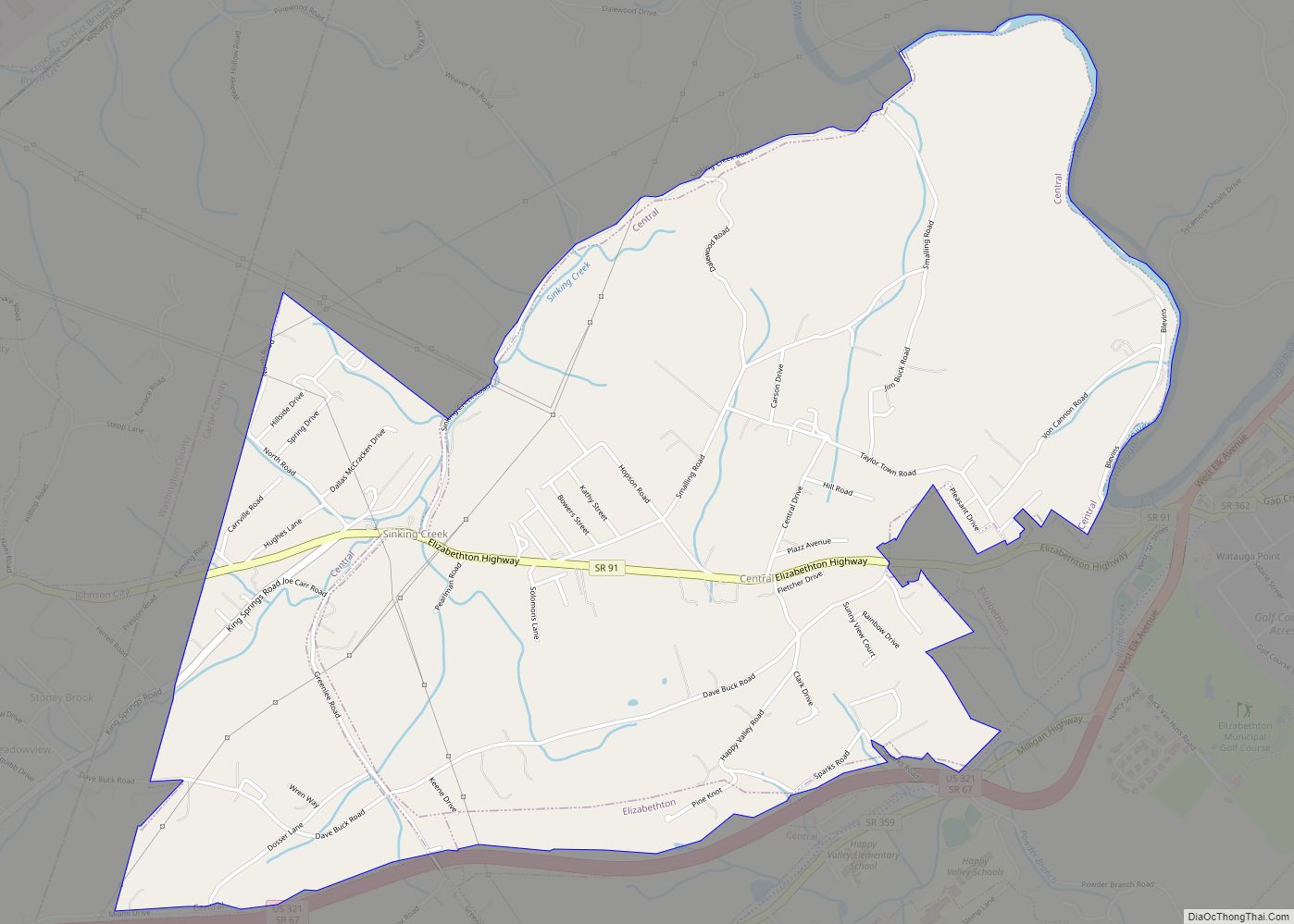
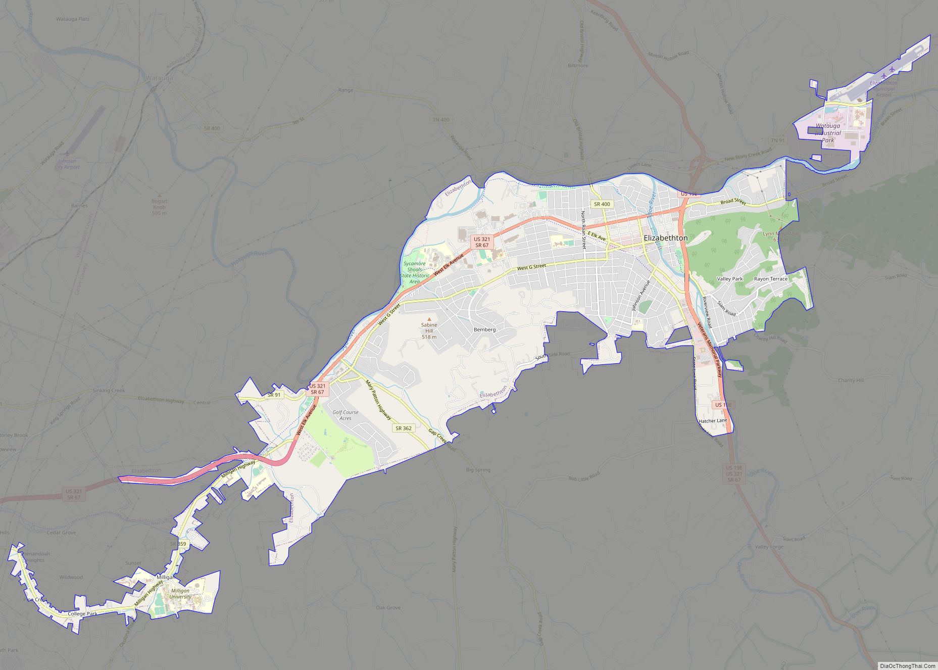
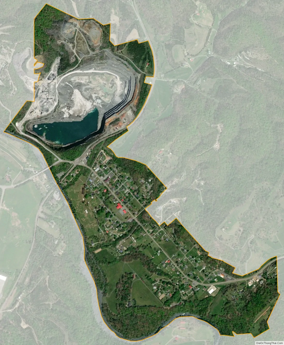
Watauga city Satellite Map
Geography
Watauga is located at 36°22′2″N 82°17′29″W / 36.36722°N 82.29139°W / 36.36722; -82.29139 (36.367305, -82.291296) along the Watauga River, at the headwaters of Boone Lake, approximately 18 miles (29 km) river miles above the river’s confluence with the South Fork Holston River. The city’s downtown area is located in Carter County, though its municipal boundaries extend into adjacent Washington County. Johnson City is located 5 miles (8 km) to the southwest, and Elizabethton is 5 miles (8 km) to the southeast.
According to the United States Census Bureau, the city has a total area of 0.83 square miles (2.15 km), of which 0.81 square miles (2.11 km) is land and 0.02 square miles (0.05 km), or 2.11%, is water.
See also
Map of Tennessee State and its subdivision:- Anderson
- Bedford
- Benton
- Bledsoe
- Blount
- Bradley
- Campbell
- Cannon
- Carroll
- Carter
- Cheatham
- Chester
- Claiborne
- Clay
- Cocke
- Coffee
- Crockett
- Cumberland
- Davidson
- Decatur
- DeKalb
- Dickson
- Dyer
- Fayette
- Fentress
- Franklin
- Gibson
- Giles
- Grainger
- Greene
- Grundy
- Hamblen
- Hamilton
- Hancock
- Hardeman
- Hardin
- Hawkins
- Haywood
- Henderson
- Henry
- Hickman
- Houston
- Humphreys
- Jackson
- Jefferson
- Johnson
- Knox
- Lake
- Lauderdale
- Lawrence
- Lewis
- Lincoln
- Loudon
- Macon
- Madison
- Marion
- Marshall
- Maury
- McMinn
- McNairy
- Meigs
- Monroe
- Montgomery
- Moore
- Morgan
- Obion
- Overton
- Perry
- Pickett
- Polk
- Putnam
- Rhea
- Roane
- Robertson
- Rutherford
- Scott
- Sequatchie
- Sevier
- Shelby
- Smith
- Stewart
- Sullivan
- Sumner
- Tipton
- Trousdale
- Unicoi
- Union
- Van Buren
- Warren
- Washington
- Wayne
- Weakley
- White
- Williamson
- Wilson
- Alabama
- Alaska
- Arizona
- Arkansas
- California
- Colorado
- Connecticut
- Delaware
- District of Columbia
- Florida
- Georgia
- Hawaii
- Idaho
- Illinois
- Indiana
- Iowa
- Kansas
- Kentucky
- Louisiana
- Maine
- Maryland
- Massachusetts
- Michigan
- Minnesota
- Mississippi
- Missouri
- Montana
- Nebraska
- Nevada
- New Hampshire
- New Jersey
- New Mexico
- New York
- North Carolina
- North Dakota
- Ohio
- Oklahoma
- Oregon
- Pennsylvania
- Rhode Island
- South Carolina
- South Dakota
- Tennessee
- Texas
- Utah
- Vermont
- Virginia
- Washington
- West Virginia
- Wisconsin
- Wyoming