Waynesboro is a city in and the county seat of Wayne County, Tennessee, United States. The population was 2,449 at the 2010 census, up from 2,228 in 2000.
| Name: | Waynesboro city |
|---|---|
| LSAD Code: | 25 |
| LSAD Description: | city (suffix) |
| State: | Tennessee |
| County: | Wayne County |
| Incorporated: | 1850 |
| Elevation: | 748 ft (228 m) |
| Total Area: | 4.28 sq mi (11.10 km²) |
| Land Area: | 4.28 sq mi (11.10 km²) |
| Water Area: | 0.00 sq mi (0.00 km²) |
| Total Population: | 2,317 |
| Population Density: | 540.85/sq mi (208.81/km²) |
| ZIP code: | 38485 |
| Area code: | 931 |
| FIPS code: | 4778600 |
| GNISfeature ID: | 1326575 |
| Website: | www.cityofwaynesboro.org |
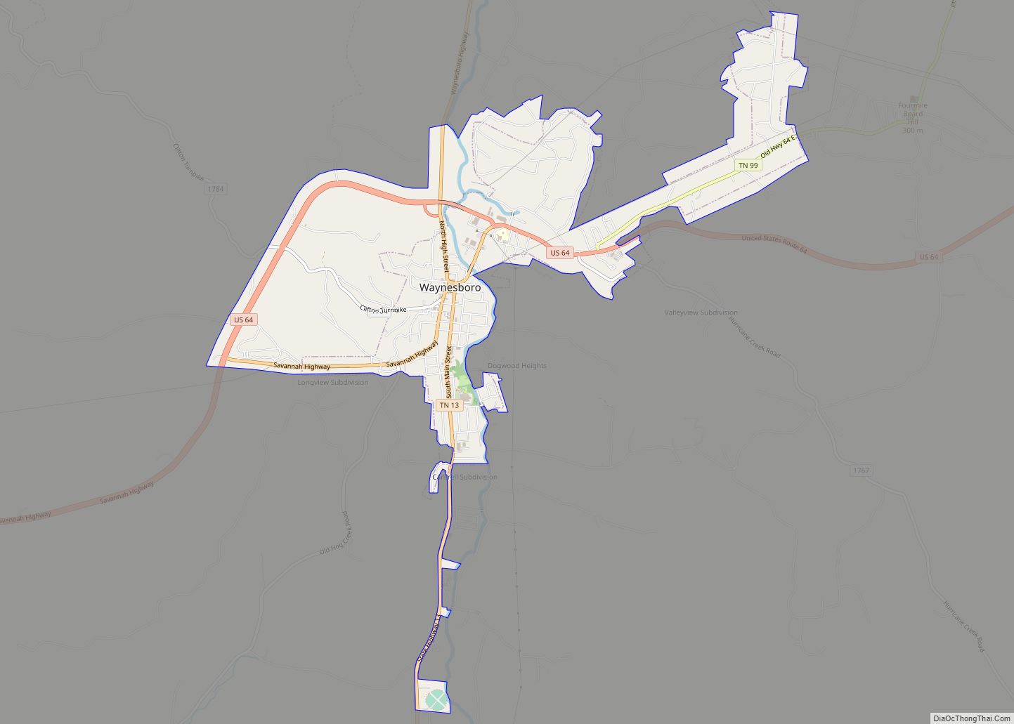
Online Interactive Map
Click on ![]() to view map in "full screen" mode.
to view map in "full screen" mode.
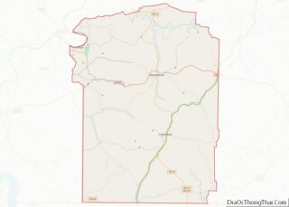
Waynesboro location map. Where is Waynesboro city?


History
Waynesboro was founded in 1821 as a county seat for the newly created Wayne County. The city initially consisted of a 40-acre (16 ha) plot that included the courthouse and jail. A school, Ashland Academy, was established in 1843. The city incorporated in 1850.
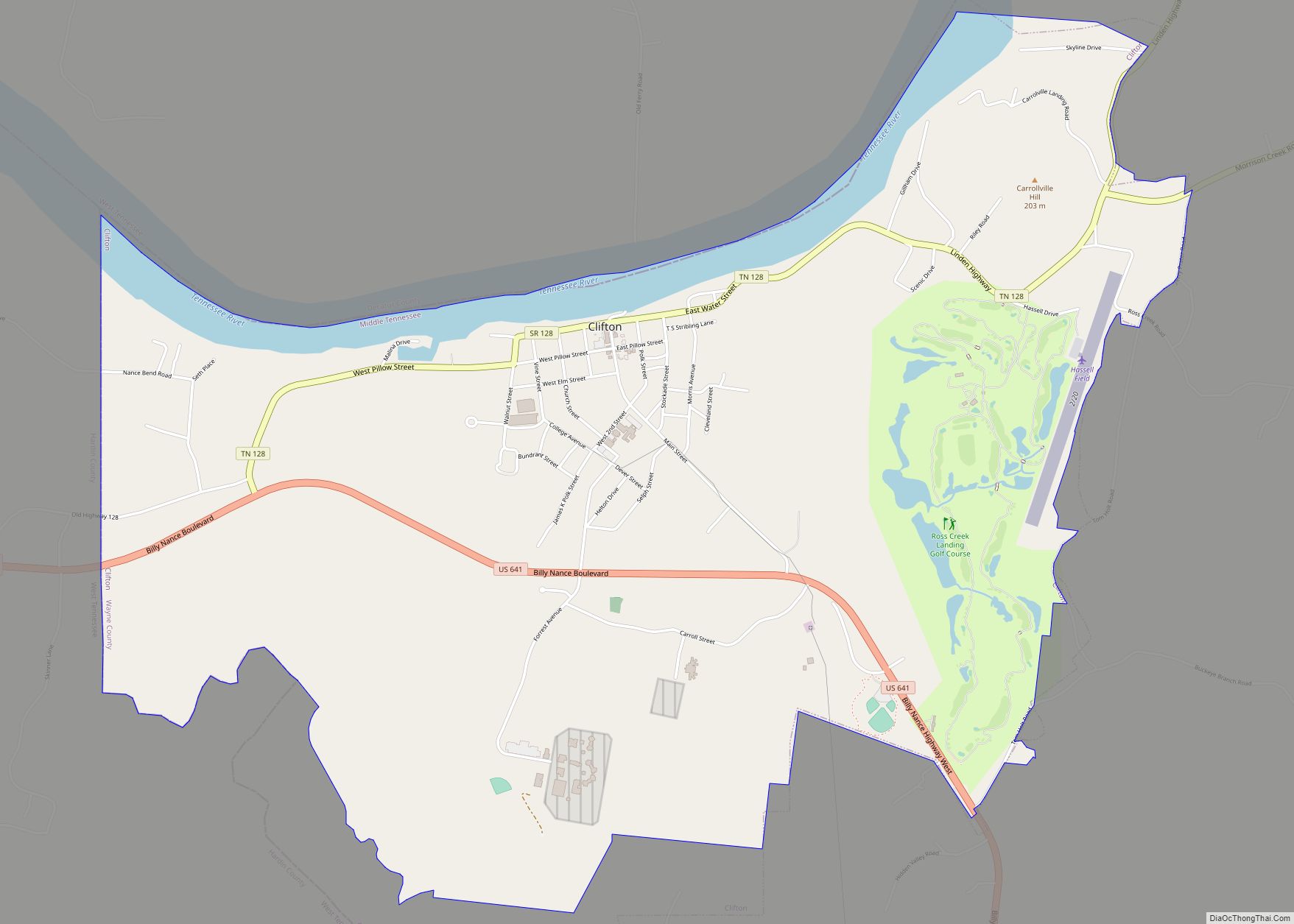
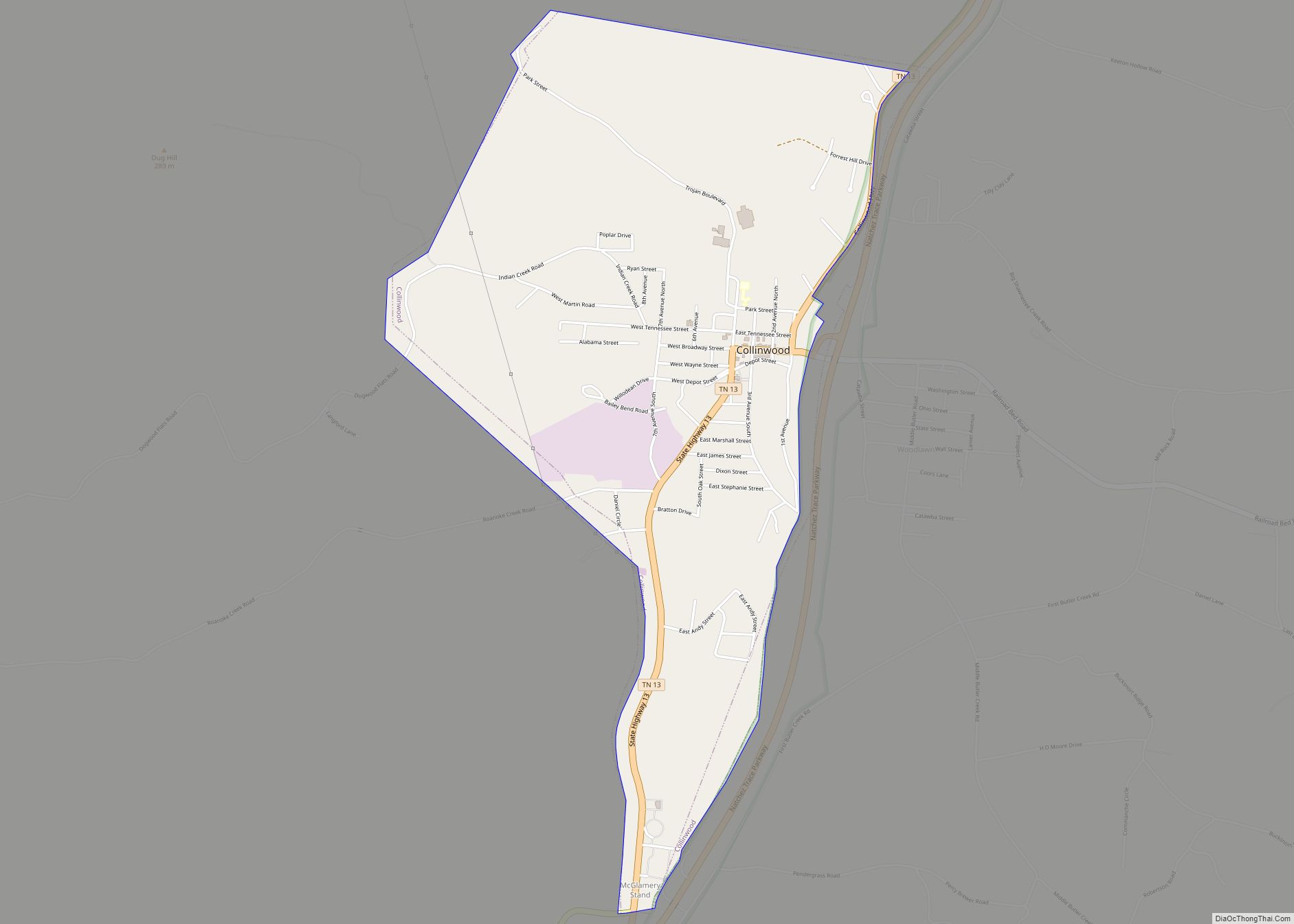
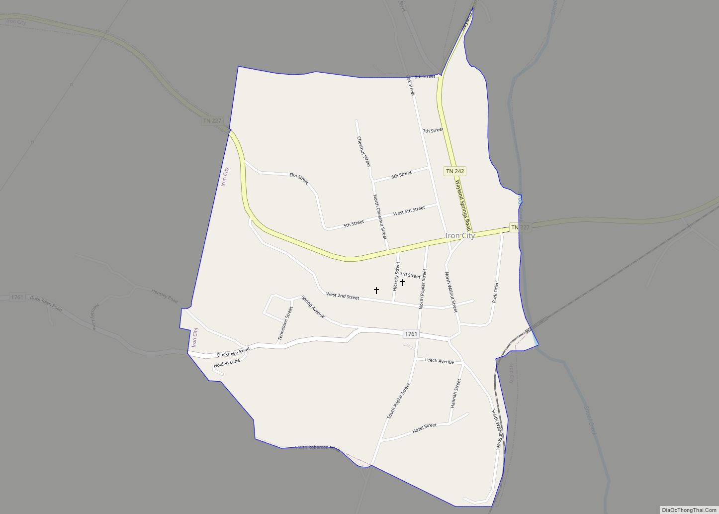
Waynesboro Road Map

Waynesboro city Satellite Map

Geography
Waynesboro is concentrated around the junction of State Route 13 and U.S. Route 64, 105 miles (169 km) south of Nashville, and 135 miles (217 km) east Memphis. State Route 99, which intersects US 64 in eastern Waynesboro, connects the city with Hohenwald to the northeast. The Natchez Trace Parkway intersects US 64 a few miles east of Waynesboro.
Waynesboro lies along the banks of the Green River, which slices a narrow valley oriented north-to-south en route to its mouth along the Buffalo River to the north. Hurricane Creek, which approaches from the southeast, empties into the Green River just north of the city. Much of the forest northwest of Waynesboro is part of the Eagle Creek Wildlife Management Area.
According to the United States Census Bureau, the city has a total area of 2.5 square miles (6.5 km), all of it land.
Climate
See also
Map of Tennessee State and its subdivision:- Anderson
- Bedford
- Benton
- Bledsoe
- Blount
- Bradley
- Campbell
- Cannon
- Carroll
- Carter
- Cheatham
- Chester
- Claiborne
- Clay
- Cocke
- Coffee
- Crockett
- Cumberland
- Davidson
- Decatur
- DeKalb
- Dickson
- Dyer
- Fayette
- Fentress
- Franklin
- Gibson
- Giles
- Grainger
- Greene
- Grundy
- Hamblen
- Hamilton
- Hancock
- Hardeman
- Hardin
- Hawkins
- Haywood
- Henderson
- Henry
- Hickman
- Houston
- Humphreys
- Jackson
- Jefferson
- Johnson
- Knox
- Lake
- Lauderdale
- Lawrence
- Lewis
- Lincoln
- Loudon
- Macon
- Madison
- Marion
- Marshall
- Maury
- McMinn
- McNairy
- Meigs
- Monroe
- Montgomery
- Moore
- Morgan
- Obion
- Overton
- Perry
- Pickett
- Polk
- Putnam
- Rhea
- Roane
- Robertson
- Rutherford
- Scott
- Sequatchie
- Sevier
- Shelby
- Smith
- Stewart
- Sullivan
- Sumner
- Tipton
- Trousdale
- Unicoi
- Union
- Van Buren
- Warren
- Washington
- Wayne
- Weakley
- White
- Williamson
- Wilson
- Alabama
- Alaska
- Arizona
- Arkansas
- California
- Colorado
- Connecticut
- Delaware
- District of Columbia
- Florida
- Georgia
- Hawaii
- Idaho
- Illinois
- Indiana
- Iowa
- Kansas
- Kentucky
- Louisiana
- Maine
- Maryland
- Massachusetts
- Michigan
- Minnesota
- Mississippi
- Missouri
- Montana
- Nebraska
- Nevada
- New Hampshire
- New Jersey
- New Mexico
- New York
- North Carolina
- North Dakota
- Ohio
- Oklahoma
- Oregon
- Pennsylvania
- Rhode Island
- South Carolina
- South Dakota
- Tennessee
- Texas
- Utah
- Vermont
- Virginia
- Washington
- West Virginia
- Wisconsin
- Wyoming