Map of Marlin city, Texas
Marlin is a city in Falls County, Texas, United States. The population was 5,462 at the 2020 census. Since 1851, it has been the county seat of Falls County. Marlin has been given the nickname “The Hot Mineral Water City of Texas” by the 76th Texas State Legislature. Mineral water was discovered there in 1892. ... Read more
Map of Marlin city, Texas
Map of Markham CDP, Texas
Markham, Texas is a census-designated place (CDP) in Matagorda County, Texas, United States. Named in 1903 for Charles H. Markham, a railroad engineer for Southern Pacific (and later President of the Illinois Central Railroad), the town was founded in 1901 as Cortes. In 1914, it was a designated stop on the Texas and New Orleans ... Read more
Map of Markham CDP, Texas
Map of Marion city, Texas
Marion is a city in Guadalupe County, Texas, United States. The town was incorporated by 1941. The population was 1,034 at the 2020 census. It is part of the San Antonio Metropolitan Statistical Area. Marion city overview: Name: Marion city LSAD Code: 25 LSAD Description: city (suffix) State: Texas County: Guadalupe County Elevation: 646 ft (197 m) ... Read more
Map of Marion city, Texas
Map of Marietta town, Texas
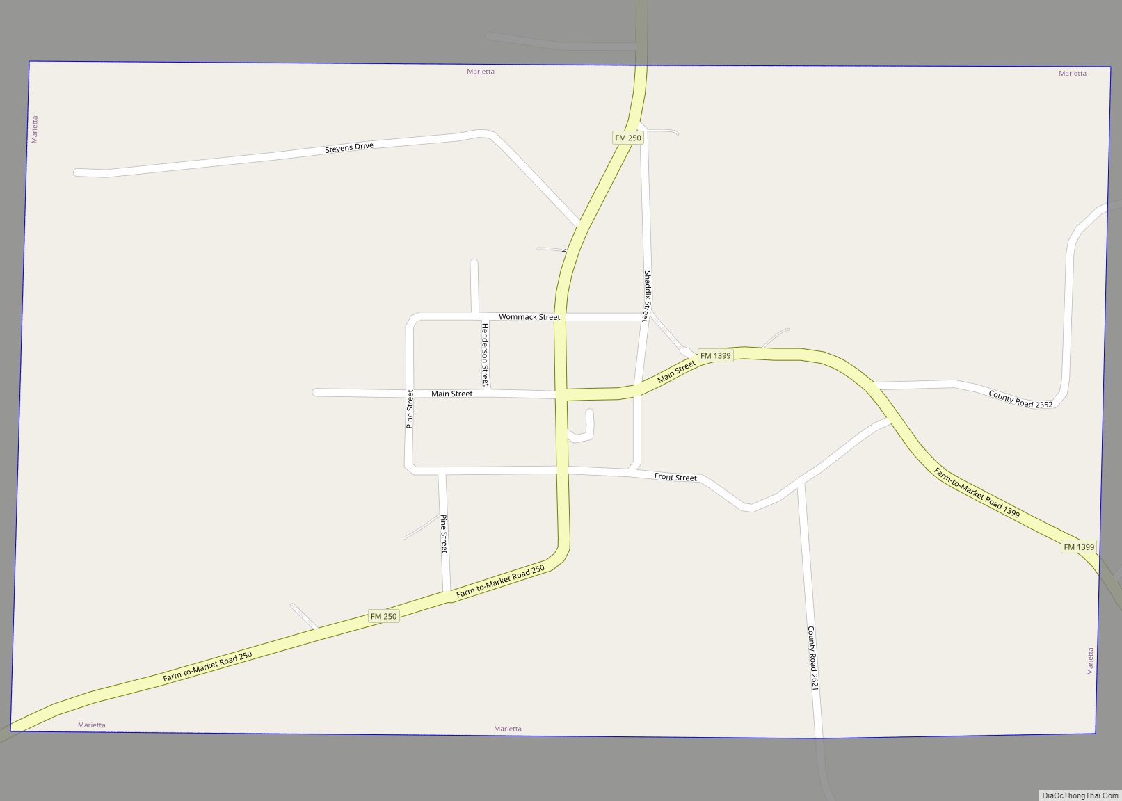
Marietta is a town in Cass County, Texas, United States, incorporated in 1963. The population was 134 at the 2010 census, up from 112 at the 2000 census; in 2020, its population was 115. Marietta town overview: Name: Marietta town LSAD Code: 43 LSAD Description: town (suffix) State: Texas County: Cass County Elevation: 351 ft (107 m) ... Read more
Map of Marietta town, Texas
Map of Marfa city
Marfa is a city in the high desert of the Trans-Pecos in far West Texas, between the Davis Mountains and Big Bend National Park. It is the county seat of Presidio County, and its population as of the 2010 United States Census was 1,981. The city was founded in the early 1880s as a water ... Read more
Map of Marfa city
Map of Marble Falls city
Marble Falls is a city in Burnet County, Texas, United States. As of the 2020 United States Census, the city population was 7,033. Lake Marble Falls is part of the Highland Lakes on the Colorado River, the largest chain of lakes in Texas. Marble Falls was founded by Adam Rankin Johnson in 1887, a former ... Read more
Map of Marble Falls city
Map of Maud city, Texas
Maud is a city in Bowie County, Texas, United States, within the Texarkana metropolitan area. According to the 2020 U.S. census, it had a population of 977. Maud city overview: Name: Maud city LSAD Code: 25 LSAD Description: city (suffix) State: Texas County: Bowie County Elevation: 289 ft (88 m) Total Area: 1.49 sq mi (3.86 km²) Land Area: 1.49 sq mi ... Read more
Map of Maud city, Texas
Map of Mathis city
Mathis is a city in San Patricio County, Texas, United States. The population was 4,942 at the 2010 census. Mathis city overview: Name: Mathis city LSAD Code: 25 LSAD Description: city (suffix) State: Texas County: San Patricio County Elevation: 161 ft (49 m) Total Area: 3.32 sq mi (8.59 km²) Land Area: 3.32 sq mi (8.59 km²) Water Area: 0.00 sq mi (0.00 km²) Total Population: ... Read more
Map of Mathis city
Map of Matagorda CDP
Matagorda (/ˈmætəˈɡɔːrdə/ (listen)) is a census-designated place in Matagorda County, Texas. It is located near the mouth of the Colorado River on the upper Texas coast in the United States. In 2020, its population was 313. Matagorda is primarily a tourist town, with commercial and recreational fishing being the top industries. About 23 miles (37 km) ... Read more
Map of Matagorda CDP
Map of Matador town
Matador is a town in and the county seat of Motley County, Texas, United States. Its population was 607 at the 2010 census. In 1891, it was established by and named for the Matador Ranch. It is located 95 miles (153 km) east of Lubbock, Texas. Matador town overview: Name: Matador town LSAD Code: 43 LSAD ... Read more
Map of Matador town
Map of Mason city, Texas
Mason is a city in, and the county seat of, Mason County, Texas, United States. The city is an agricultural community on Comanche Creek southwest of Mason Mountain, on the Edwards Plateau and part of the Llano Uplift. Its population was 2,114 at the 2010 census. Mason city overview: Name: Mason city LSAD Code: 25 ... Read more
Map of Mason city, Texas
Map of Martinez CDP, Texas
Martinez is a census-designated place (CDP) in Starr County, Texas, United States. This was a new CDP for the 2010 census with a population of 69. Martinez CDP overview: Name: Martinez CDP LSAD Code: 57 LSAD Description: CDP (suffix) State: Texas County: Starr County Total Area: 0.1 sq mi (0.3 km²) Land Area: 0.1 sq mi (0.3 km²) Water Area: 0.0 sq mi ... Read more
Map of Martinez CDP, Texas