McCamey is a city in Upton County, Texas. Its population was 1,887 at the 2010 census. The Texas legislature has declared McCamey “the Wind Energy Capital of Texas” because of the many wind farms that have been built in the area. Its history, however, is primarily that of an oil boomtown.
| Name: | McCamey city |
|---|---|
| LSAD Code: | 25 |
| LSAD Description: | city (suffix) |
| State: | Texas |
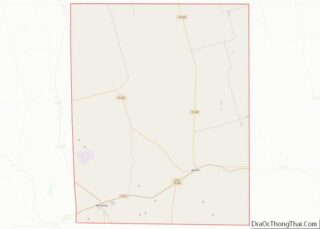
| County: | Upton County |
| Elevation: | 2,467 ft (752 m) |
| Total Area: | 2.03 sq mi (5.25 km²) |
| Land Area: | 2.03 sq mi (5.25 km²) |
| Water Area: | 0.00 sq mi (0.00 km²) |
| Total Population: | 1,887 |
| Population Density: | 1,016.28/sq mi (392.43/km²) |
| ZIP code: | 79752 |
| Area code: | 432 |
| FIPS code: | 4845432 |
| GNISfeature ID: | 1362369 |
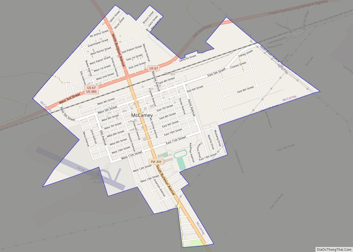
Online Interactive Map
Click on ![]() to view map in "full screen" mode.
to view map in "full screen" mode.
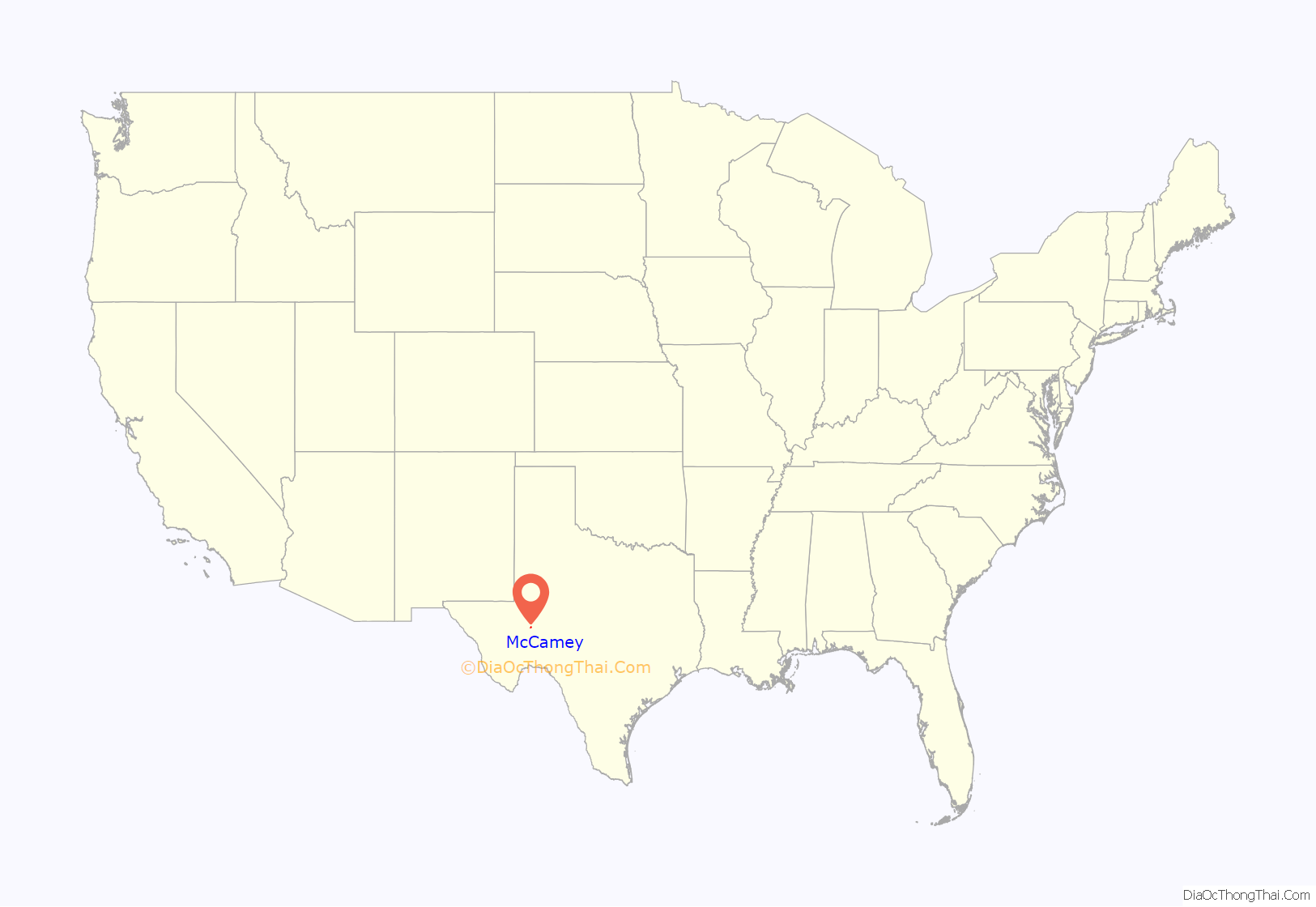
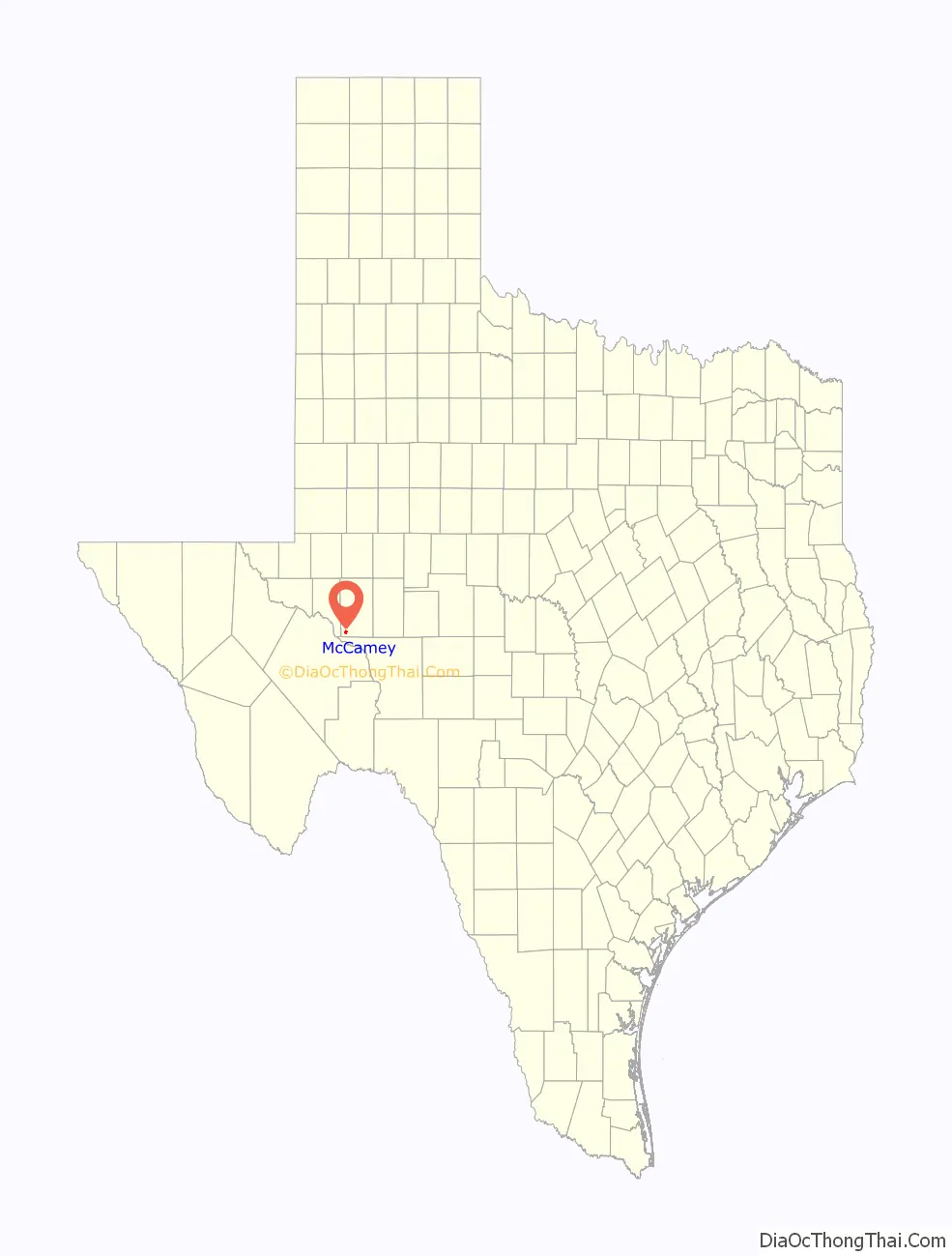
McCamey location map. Where is McCamey city?
History
McCamey is named for George B. McCamey, whose 1925 wildcat well brought about the oil boom in the region. He brought in a real estate developer from Corpus Christi, to lay out a townsite near the oil field and along the Kansas City, Mexico and Orient Railway capable of housing 10,000 people. The town was initially a jumble of tents and frame shacks; order came slowly, replacing the lawlessness of the early boomtown environment. A post office was built in 1926, and the town was incorporated near the end of that year. In 1927, the McCamey Independent School District was formed, and an enterprising newspaperman printed the first issue of the Tri-County Record, the first town newspaper.
Water supply was a problem in the early years of McCamey, as the nearby water sources were not drinkable. Water came in by train from Alpine, almost 100 miles (160 km) away, at a cost of $1 a barrel. A potable water supply was found in a geologic unit only 17 miles (27 km) distant, and pipes were built to transport it to town in 1929.
McCamey was the location of a Humble Oil Company Refinery, one of the first built in West Texas. Humble Oil & Refining Company was a corporate predecessor of Exxon Company. An early experiment by Shell Oil Company in massive oil storage in McCamey proved a failure; local oilmen built a reservoir to hold up to one million barrels of oil in an earthen tank, but the limestone formation underneath the tank cracked under the weight of the crude, allowing much of it to leak into the subsurface.
The population of the town declined during the Great Depression along with the price of oil, and as the discovery of large oil fields elsewhere pulled workers away. In 1940, 2,600 people were in McCamey; in 1980, 2,436; and the 2000 census showed the population had shrunk to 1,805.
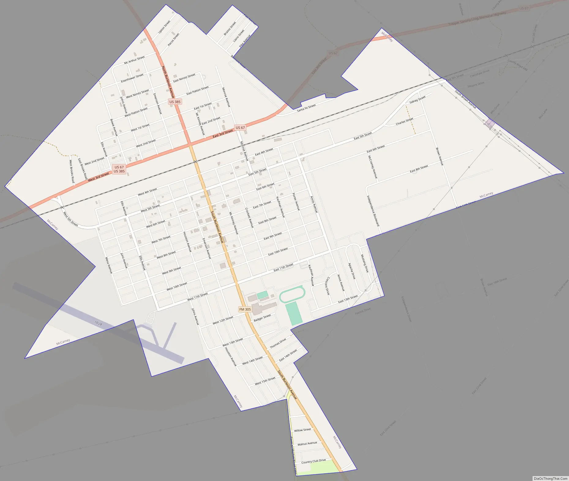
McCamey Road Map
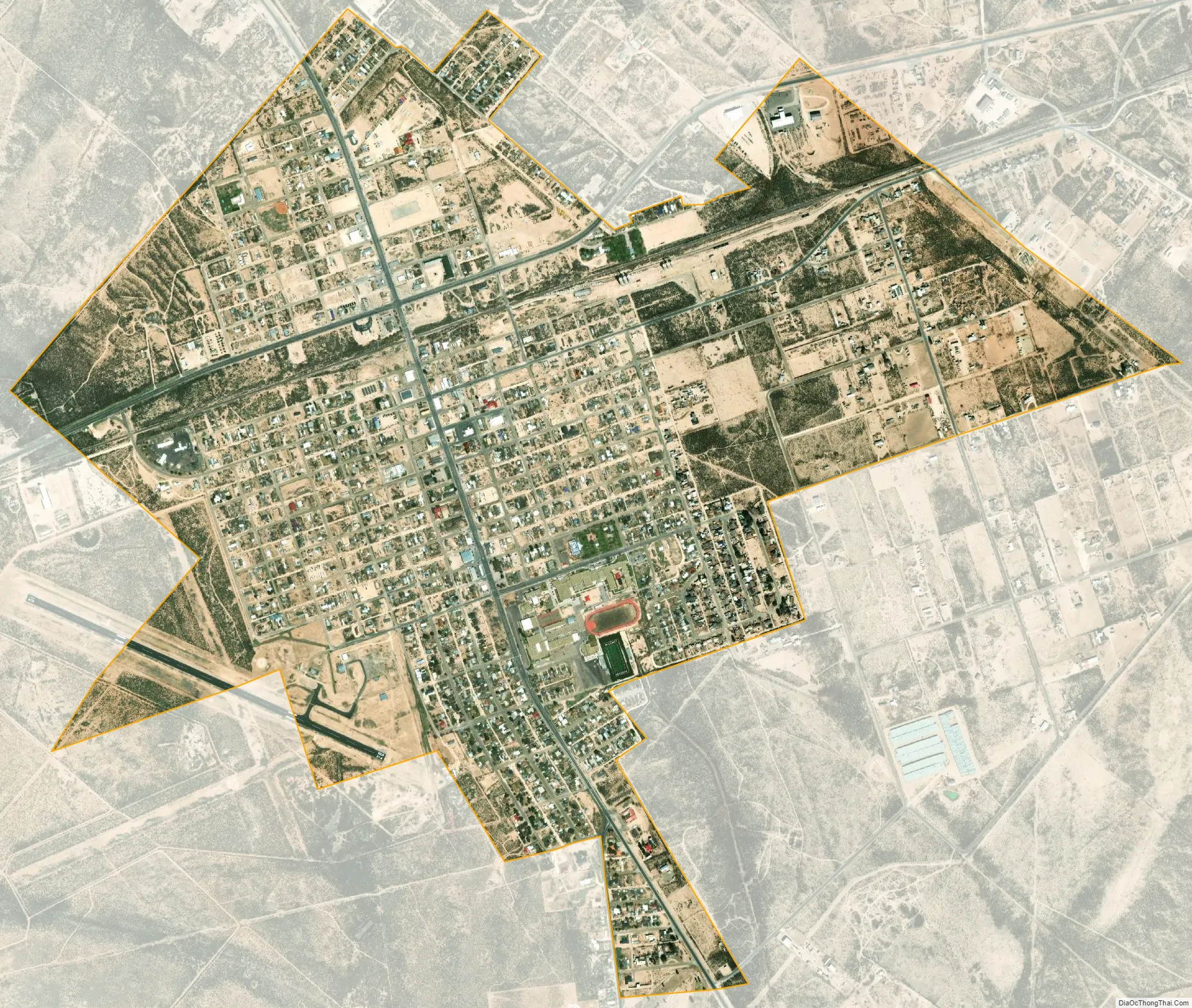
McCamey city Satellite Map
Geography
McCamey is located at 31°7′56″N 102°13′20″W / 31.13222°N 102.22222°W / 31.13222; -102.22222 (31.132300, –102.222106). The town is about 5 miles (8 km) east of the Pecos River along U.S. Route 67.
According to the United States Census Bureau, the city has a total area of 2.0 square miles (5.2 km), all land.
See also
Map of Texas State and its subdivision:- Anderson
- Andrews
- Angelina
- Aransas
- Archer
- Armstrong
- Atascosa
- Austin
- Bailey
- Bandera
- Bastrop
- Baylor
- Bee
- Bell
- Bexar
- Blanco
- Borden
- Bosque
- Bowie
- Brazoria
- Brazos
- Brewster
- Briscoe
- Brooks
- Brown
- Burleson
- Burnet
- Caldwell
- Calhoun
- Callahan
- Cameron
- Camp
- Carson
- Cass
- Castro
- Chambers
- Cherokee
- Childress
- Clay
- Cochran
- Coke
- Coleman
- Collin
- Collingsworth
- Colorado
- Comal
- Comanche
- Concho
- Cooke
- Coryell
- Cottle
- Crane
- Crockett
- Crosby
- Culberson
- Dallam
- Dallas
- Dawson
- Deaf Smith
- Delta
- Denton
- Dewitt
- Dickens
- Dimmit
- Donley
- Duval
- Eastland
- Ector
- Edwards
- El Paso
- Ellis
- Erath
- Falls
- Fannin
- Fayette
- Fisher
- Floyd
- Foard
- Fort Bend
- Franklin
- Freestone
- Frio
- Gaines
- Galveston
- Garza
- Gillespie
- Glasscock
- Goliad
- Gonzales
- Gray
- Grayson
- Gregg
- Grimes
- Guadalupe
- Hale
- Hall
- Hamilton
- Hansford
- Hardeman
- Hardin
- Harris
- Harrison
- Hartley
- Haskell
- Hays
- Hemphill
- Henderson
- Hidalgo
- Hill
- Hockley
- Hood
- Hopkins
- Houston
- Howard
- Hudspeth
- Hunt
- Hutchinson
- Irion
- Jack
- Jackson
- Jasper
- Jeff Davis
- Jefferson
- Jim Hogg
- Jim Wells
- Johnson
- Jones
- Karnes
- Kaufman
- Kendall
- Kenedy
- Kent
- Kerr
- Kimble
- King
- Kinney
- Kleberg
- Knox
- La Salle
- Lamar
- Lamb
- Lampasas
- Lavaca
- Lee
- Leon
- Liberty
- Limestone
- Lipscomb
- Live Oak
- Llano
- Loving
- Lubbock
- Lynn
- Madison
- Marion
- Martin
- Mason
- Matagorda
- Maverick
- McCulloch
- McLennan
- McMullen
- Medina
- Menard
- Midland
- Milam
- Mills
- Mitchell
- Montague
- Montgomery
- Moore
- Morris
- Motley
- Nacogdoches
- Navarro
- Newton
- Nolan
- Nueces
- Ochiltree
- Oldham
- Orange
- Palo Pinto
- Panola
- Parker
- Parmer
- Pecos
- Polk
- Potter
- Presidio
- Rains
- Randall
- Reagan
- Real
- Red River
- Reeves
- Refugio
- Roberts
- Robertson
- Rockwall
- Runnels
- Rusk
- Sabine
- San Augustine
- San Jacinto
- San Patricio
- San Saba
- Schleicher
- Scurry
- Shackelford
- Shelby
- Sherman
- Smith
- Somervell
- Starr
- Stephens
- Sterling
- Stonewall
- Sutton
- Swisher
- Tarrant
- Taylor
- Terrell
- Terry
- Throckmorton
- Titus
- Tom Green
- Travis
- Trinity
- Tyler
- Upshur
- Upton
- Uvalde
- Val Verde
- Van Zandt
- Victoria
- Walker
- Waller
- Ward
- Washington
- Webb
- Wharton
- Wheeler
- Wichita
- Wilbarger
- Willacy
- Williamson
- Wilson
- Winkler
- Wise
- Wood
- Yoakum
- Young
- Zapata
- Zavala
- Alabama
- Alaska
- Arizona
- Arkansas
- California
- Colorado
- Connecticut
- Delaware
- District of Columbia
- Florida
- Georgia
- Hawaii
- Idaho
- Illinois
- Indiana
- Iowa
- Kansas
- Kentucky
- Louisiana
- Maine
- Maryland
- Massachusetts
- Michigan
- Minnesota
- Mississippi
- Missouri
- Montana
- Nebraska
- Nevada
- New Hampshire
- New Jersey
- New Mexico
- New York
- North Carolina
- North Dakota
- Ohio
- Oklahoma
- Oregon
- Pennsylvania
- Rhode Island
- South Carolina
- South Dakota
- Tennessee
- Texas
- Utah
- Vermont
- Virginia
- Washington
- West Virginia
- Wisconsin
- Wyoming