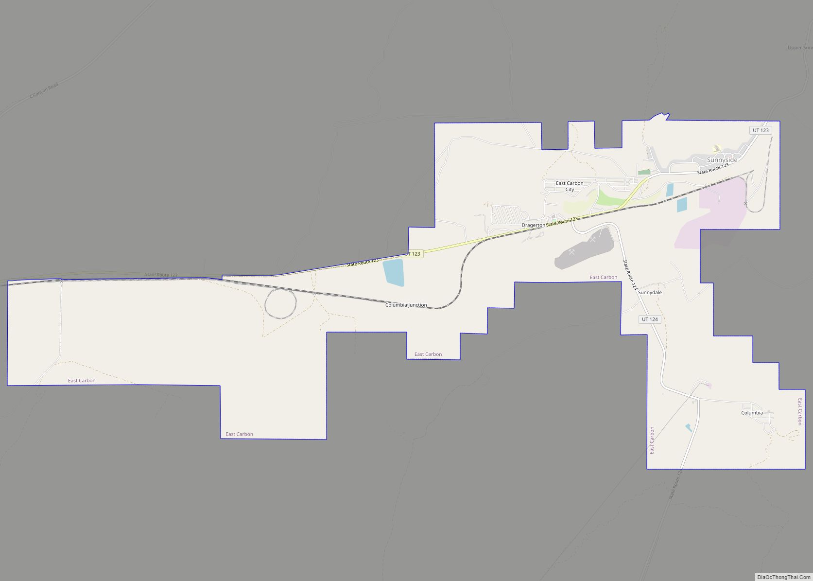
East Carbon is a city in Carbon County, Utah, United States. The population was 1,301 at the 2010 census. East Carbon was incorporated on July 23, 1973, from the merger of the two struggling mining towns of Dragerton and Columbia. On January 1, 2014, the city annexed the neighboring city of Sunnyside. East Carbon city ... Read more
Utah Cities and Places
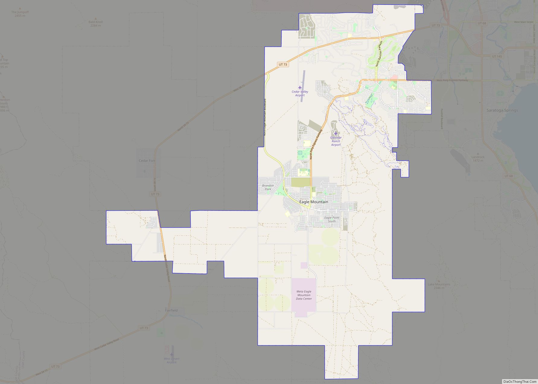
Eagle Mountain is a city in Utah County, Utah. It is part of the Provo–Orem metropolitan area. The city is located to the west as well as north of the Lake Mountains, which are west of Utah Lake. It was incorporated on 3 December 1996 and had been rapidly growing. The population was 43,623 at ... Read more
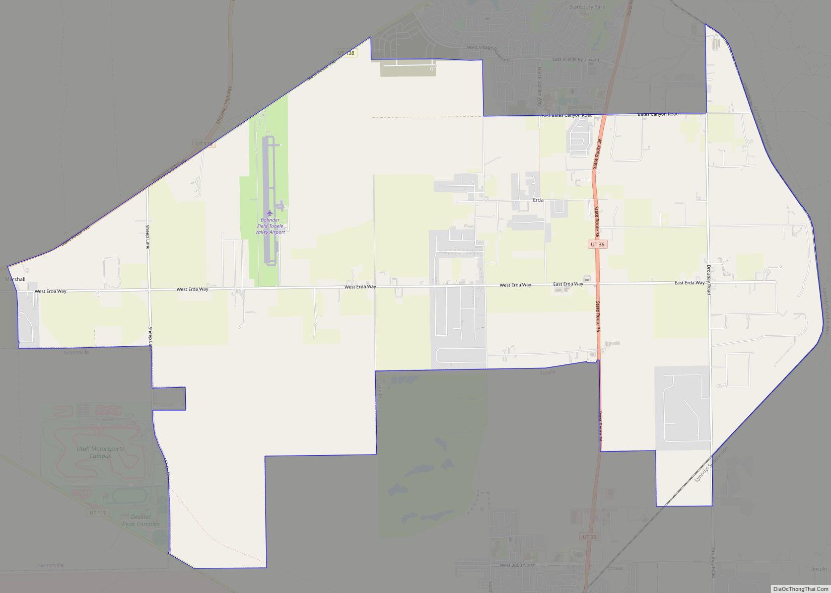
Erda (/ˈɜːrdə/ UR-də) is a city in Tooele County, Utah, United States. The population was 4,642 at the 2010 census, a significant increase from the 2000 figure of 2,473. Erda was previously a Census Designated Place (CDP) and a township but officially received its incorporation certificate in January 2022. Erda CDP overview: Name: Erda CDP ... Read more
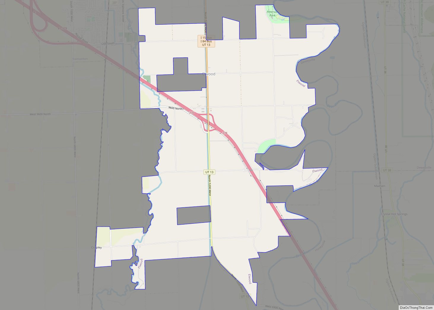
Elwood is a town in Box Elder County, Utah, United States. The population was 1,173 at the 2020 census, up from the 2010 figure of 1,034. Elwood town overview: Name: Elwood town LSAD Code: 43 LSAD Description: town (suffix) State: Utah County: Box Elder County Incorporated: 1933 Elevation: 4,298 ft (1,310 m) Total Area: 8.07 sq mi (20.91 km²) Land ... Read more
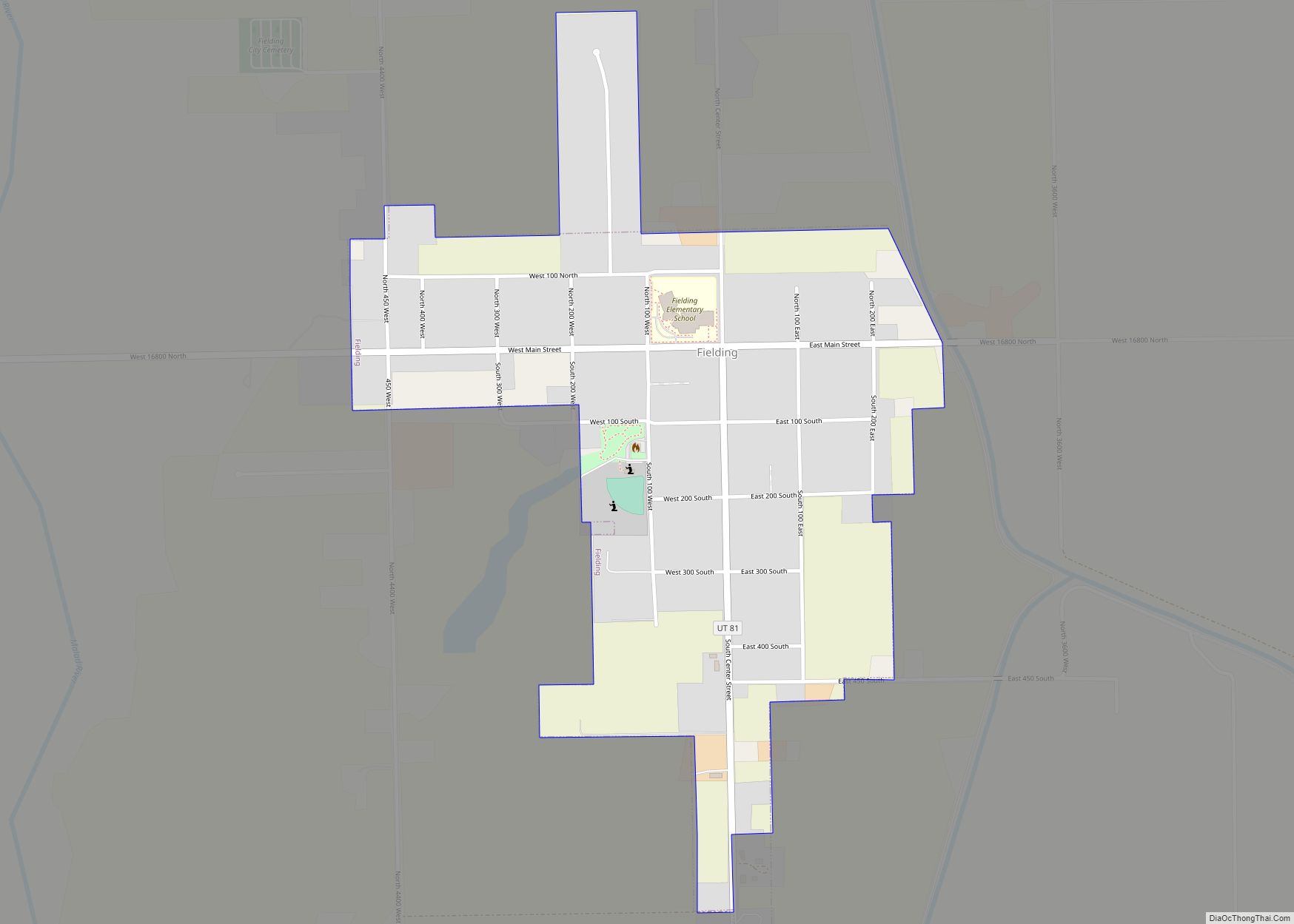
Fielding is a town in Box Elder County, Utah, United States. The population was 455 at the 2010 census. Fielding town overview: Name: Fielding town LSAD Code: 43 LSAD Description: town (suffix) State: Utah County: Box Elder County Founded: 1892 Incorporated: 1911 Elevation: 4,373 ft (1,333 m) Total Area: 0.51 sq mi (1.32 km²) Land Area: 0.51 sq mi (1.32 km²) Water Area: ... Read more
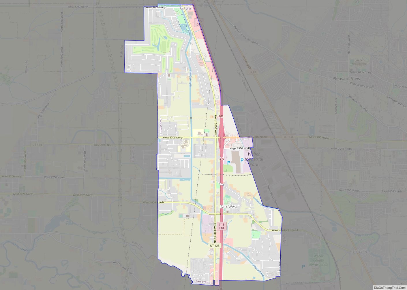
Farr West is a city on the northern edge of Weber County, Utah. The population was 5,928 at the time of the 2010 census. It is part of the Ogden–Clearfield metropolitan area. The mayor as of 2022 is Ken Phippen. Farr West city overview: Name: Farr West city LSAD Code: 25 LSAD Description: city (suffix) ... Read more
Farmington is a city in Davis County, Utah, United States. The population was 24,531 at the 2020 census. The Lagoon Amusement Park and Station Park transit-oriented retail center (which includes a FrontRunner train station) are located in Farmington. Farmington city overview: Name: Farmington city LSAD Code: 25 LSAD Description: city (suffix) State: Utah County: Davis ... Read more
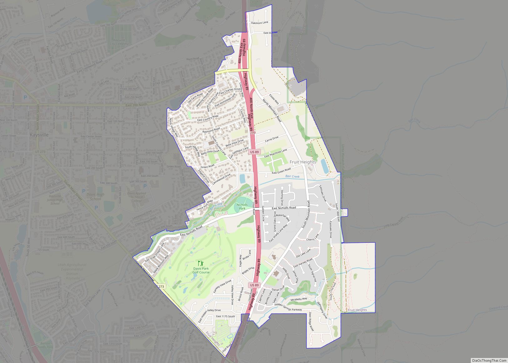
Fruit Heights is a city in eastern Davis County, Utah, United States. It is part of the Ogden–Clearfield, Utah Metropolitan Statistical Area. It lies along the Wasatch Front adjacent to the larger cities of Farmington and Kaysville. Its population was 4,987 at the 2010 census, with an estimated population of 6,234 in 2018. Fruit Heights ... Read more
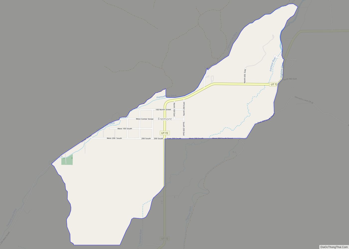
Fremont is a census-designated place in northwestern Wayne County, Utah, United States. It lies along State Route 72 just northeast of the town of Loa, the county seat of Wayne County. To the north is Fishlake National Forest. Fremont’s elevation is 7,218 feet (2,200 m). The population was 145 at the 2010 census. Fremont’s first permanent ... Read more
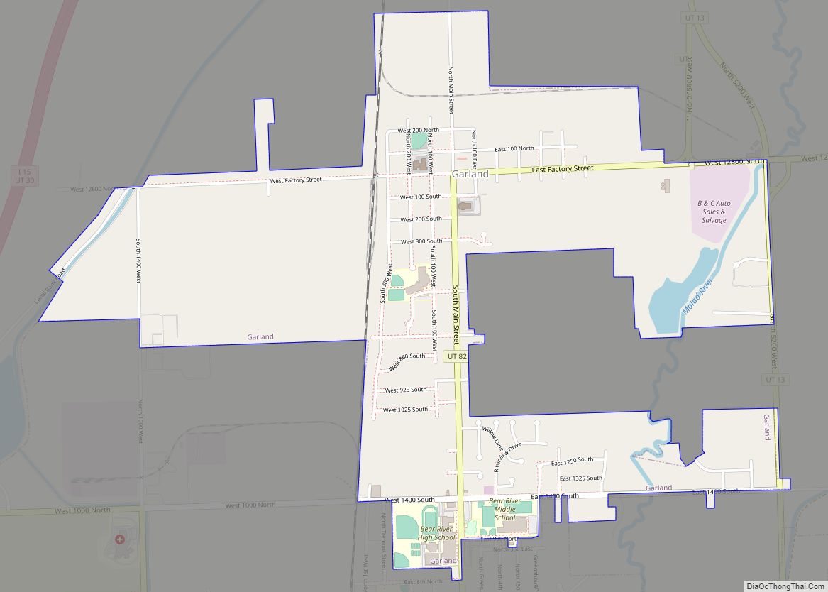
Garland is a city in northeastern Box Elder County, Utah, United States. The population was 2,400 at the 2010 census. Garland city overview: Name: Garland city LSAD Code: 25 LSAD Description: city (suffix) State: Utah County: Box Elder County Elevation: 4,340 ft (1,323 m) Total Area: 1.81 sq mi (4.69 km²) Land Area: 1.81 sq mi (4.69 km²) Water Area: 0.00 sq mi (0.00 km²) Total ... Read more
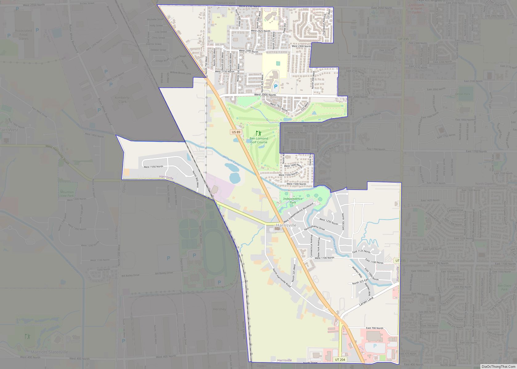
Harrisville is a city in Weber County, Utah, United States. The population was 5,567 at the 2010 census. It is part of the Ogden–Clearfield, Utah Metropolitan Statistical Area. The current mayor is Michelle Tait. Harrisville city overview: Name: Harrisville city LSAD Code: 25 LSAD Description: city (suffix) State: Utah County: Weber County Elevation: 4,291 ft (1,308 m) ... Read more
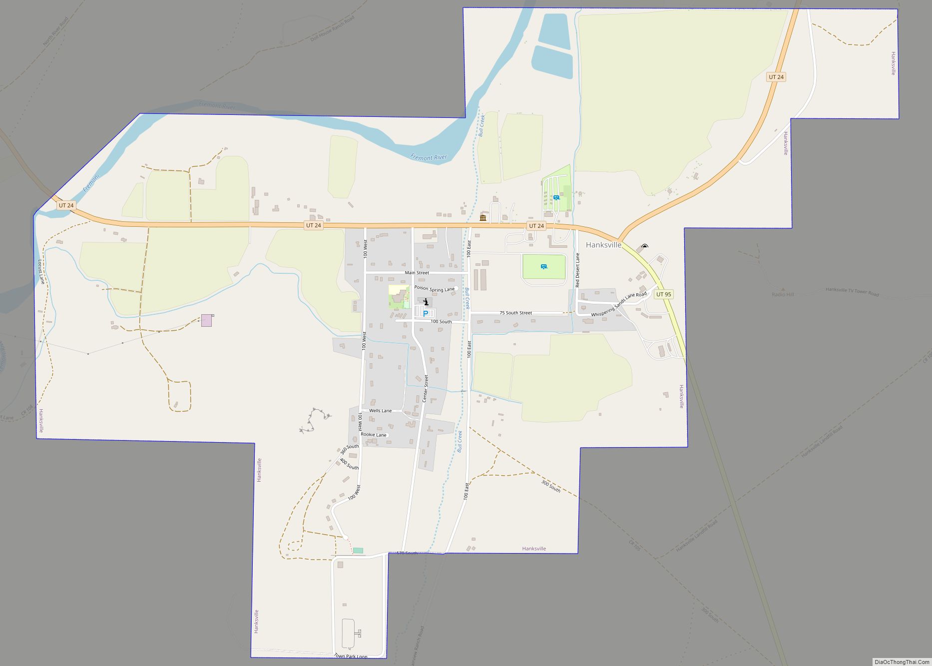
Hanksville is a small town in Wayne County, Utah, United States, at the junction of State Routes 24 and 95. The population was 219 at the 2010 census. Situated in the Colorado Plateau’s cold desert ecological region, the town is just south of the confluence of the Fremont River and Muddy Creek, which together form ... Read more
