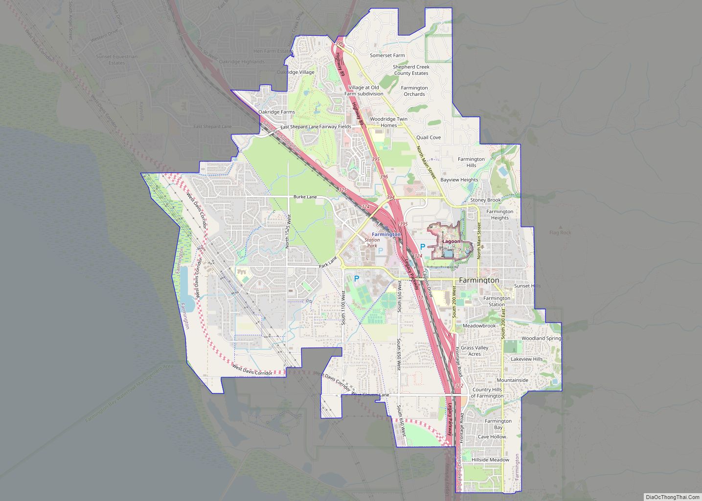
Farmington is a city in Davis County, Utah, United States. The population was 24,531 at the 2020 census. The Lagoon Amusement Park and Station Park transit-oriented retail center (which includes a FrontRunner train station) are located in Farmington.
| Name: | Farmington city |
|---|---|
| LSAD Code: | 25 |
| LSAD Description: | city (suffix) |
| State: | Utah |
| County: | Davis County |
| Incorporated: | February 18, 1852 |
| Elevation: | 4,305 ft (1,312 m) |
| Total Area: | 10.05 sq mi (26.02 km²) |
| Land Area: | 9.95 sq mi (25.78 km²) |
| Water Area: | 0.09 sq mi (0.24 km²) |
| Total Population: | 24,531 |
| Population Density: | 2,465/sq mi (951.6/km²) |
| ZIP code: | 84025 |
| Area code: | 385, 801 |
| FIPS code: | 4924740 |
| GNISfeature ID: | 1441004 |
| Website: | www.farmington.utah.gov |
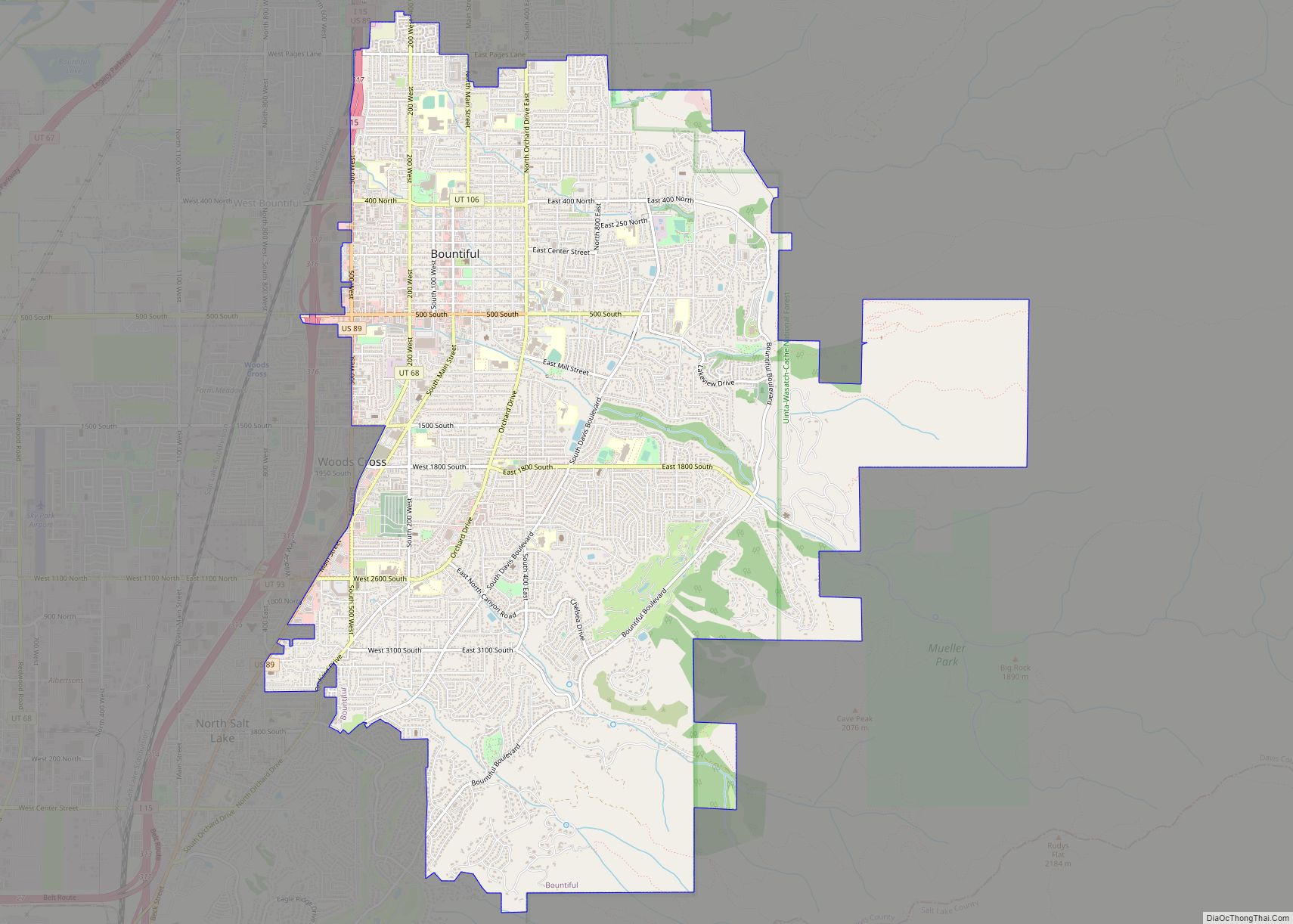
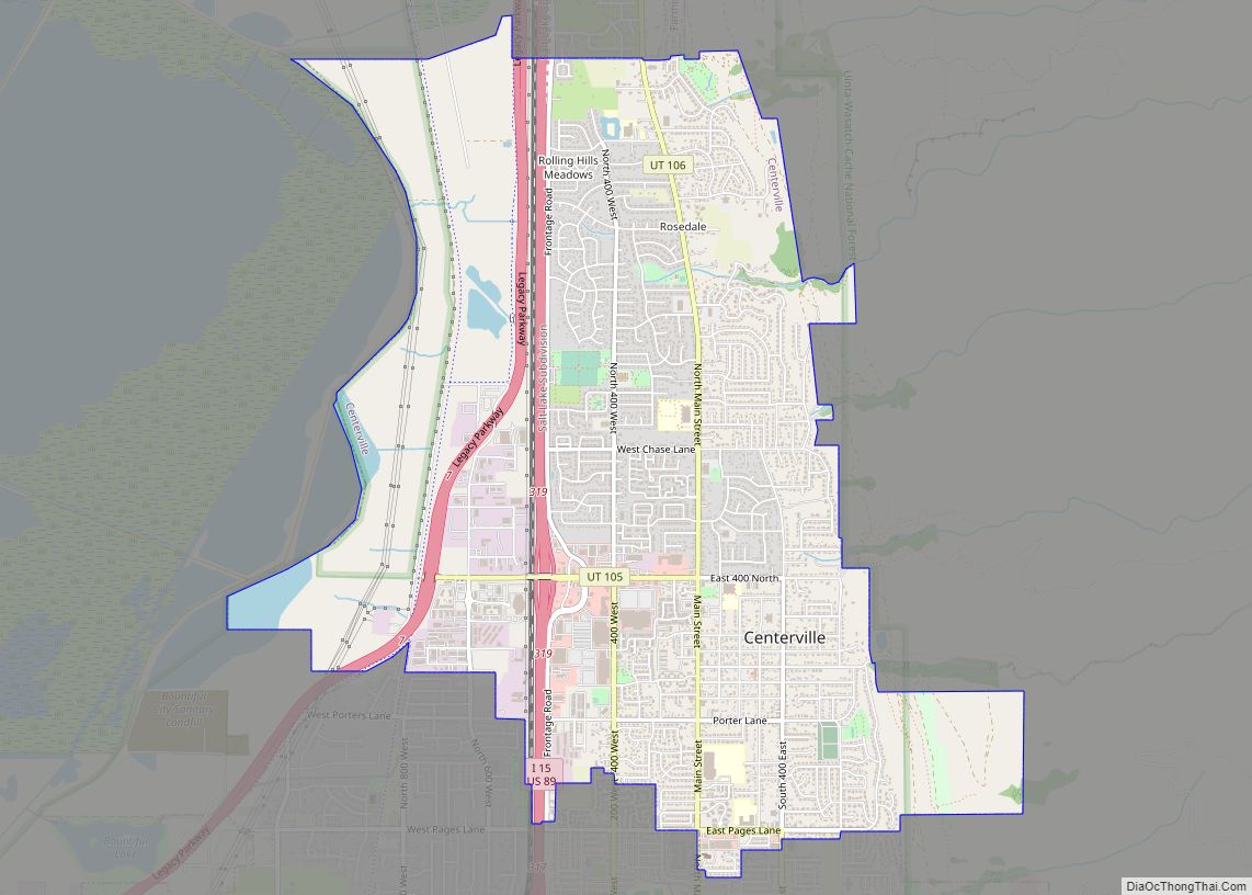
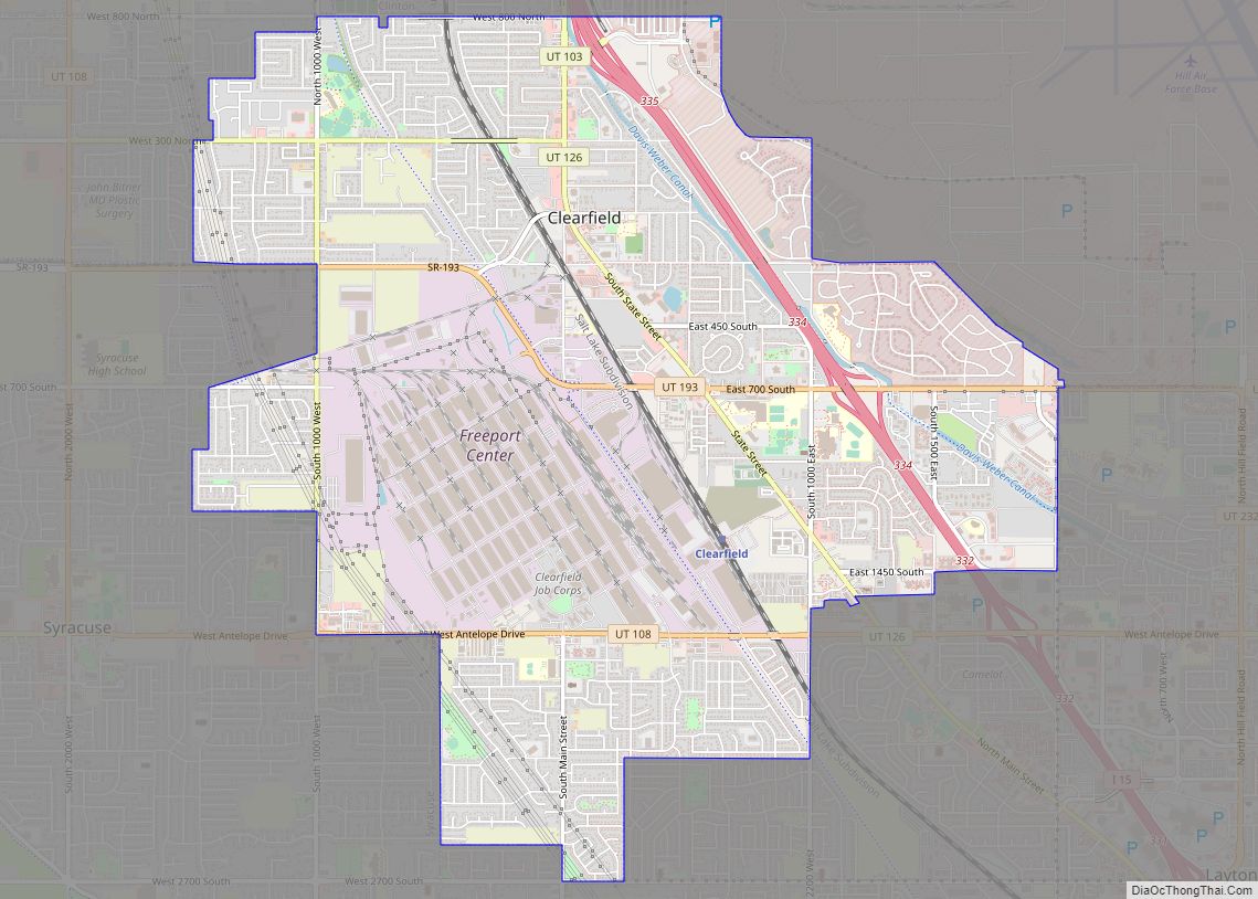
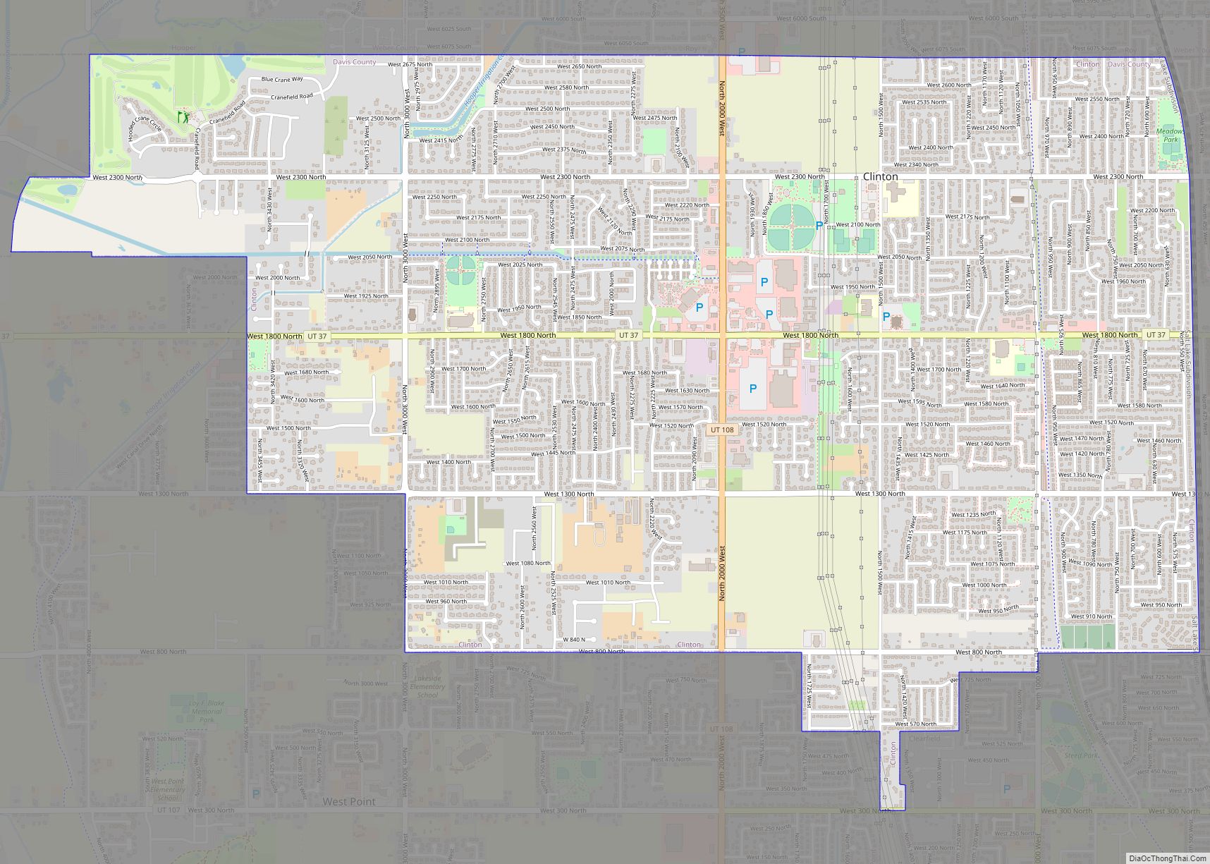
Online Interactive Map
Click on ![]() to view map in "full screen" mode.
to view map in "full screen" mode.
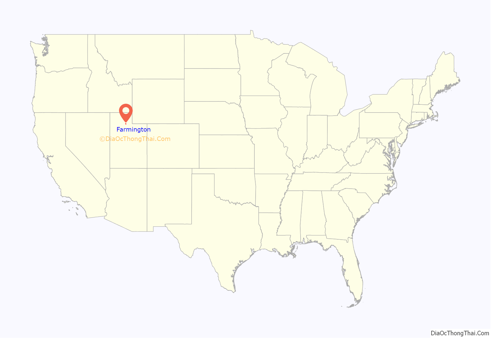
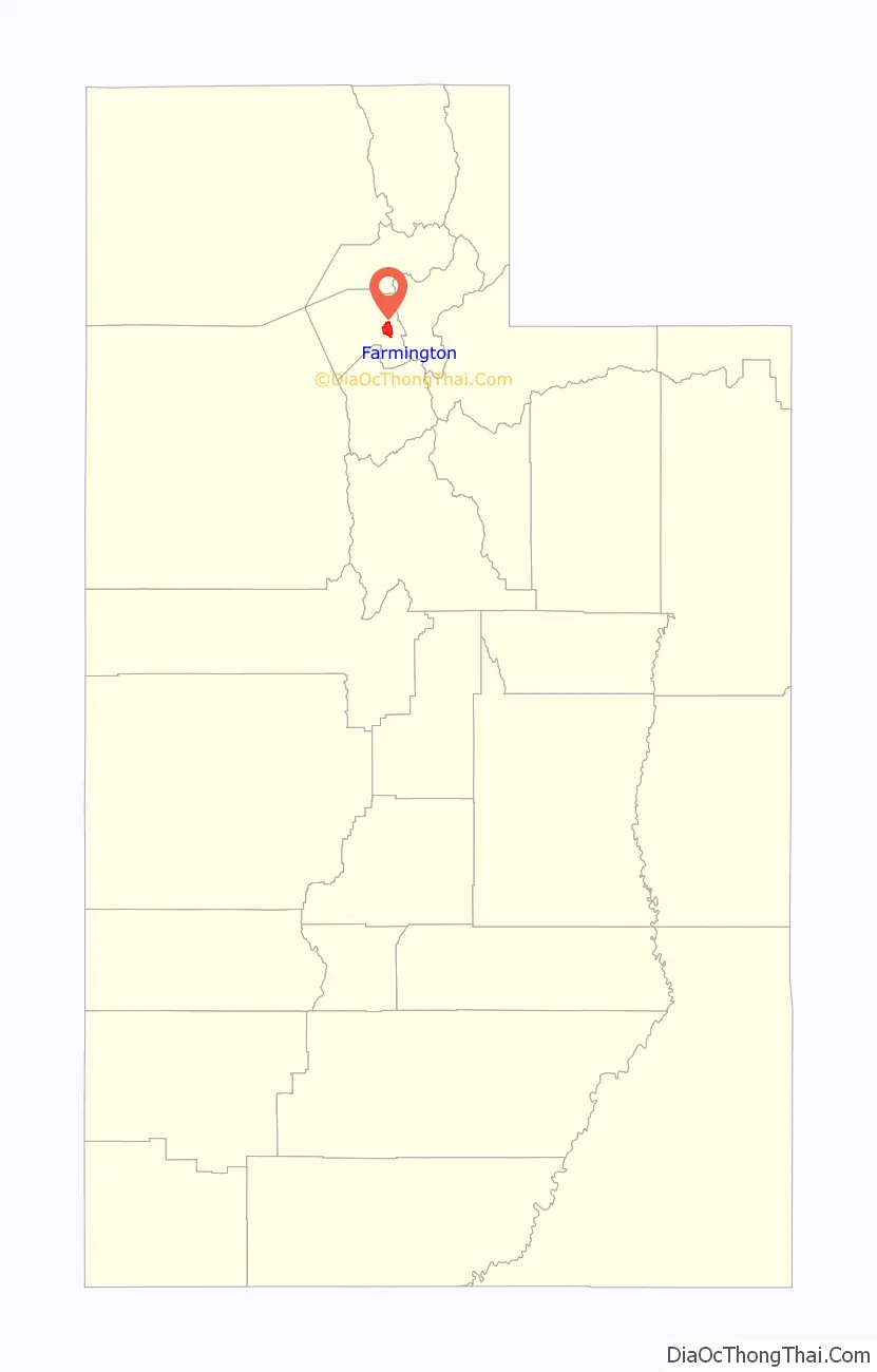
Farmington location map. Where is Farmington city?
History
The region that is now Farmington was settled in 1847 by the Haight family, a Mormon pioneer family that established a farm and an inn. Five more pioneering families migrated to this region in the autumn of 1849. The region developed into an undefined community originally called North Cottonwood Settlement. In 1852, the territorial legislature picked North Cottonwood as the county seat and officially named it Farmington. Following orders from Daniel H. Wells and Brigham Young, Farmington residents built a wall around the city in 1853 under the direction of Major Thomas S. Smith. This walled townsite became known as “the Fort”. Early church meetings were held in a log school and then an adobe structure. The county courthouse was used for religious meetings from 1855 to 1863. The city’s ward moved back to the schoolhouse, and the first meetinghouse was dedicated in January 1864. By the early 1860s, the town of Farmington stretched for six miles between Centerville and Kaysville.
The Children’s Primary Association of the Church of Jesus Christ of Latter-day Saints was organized here on August 11, 1878. It was the birthplace of one of the longest-lived Latter-day Saint apostles, LeGrand Richards. His maternal great-grandfather, Joseph Lee Robinson, was the first bishop of what was then the North Cottonwood Ward. Lagoon Amusement Park was founded here in 1886 and occupies 100 acres (0.40 km) of the city. Ezra T. Clark was an early settler of Farmington who later founded the Davis County Bank and built several houses in the area, some of which are located in the Clark Lane Historic District, listed on the National Register of Historic Places.
The city was ranked 12th on Money magazine’s “Best Places to Live” index in 2011.
Farmington Road Map
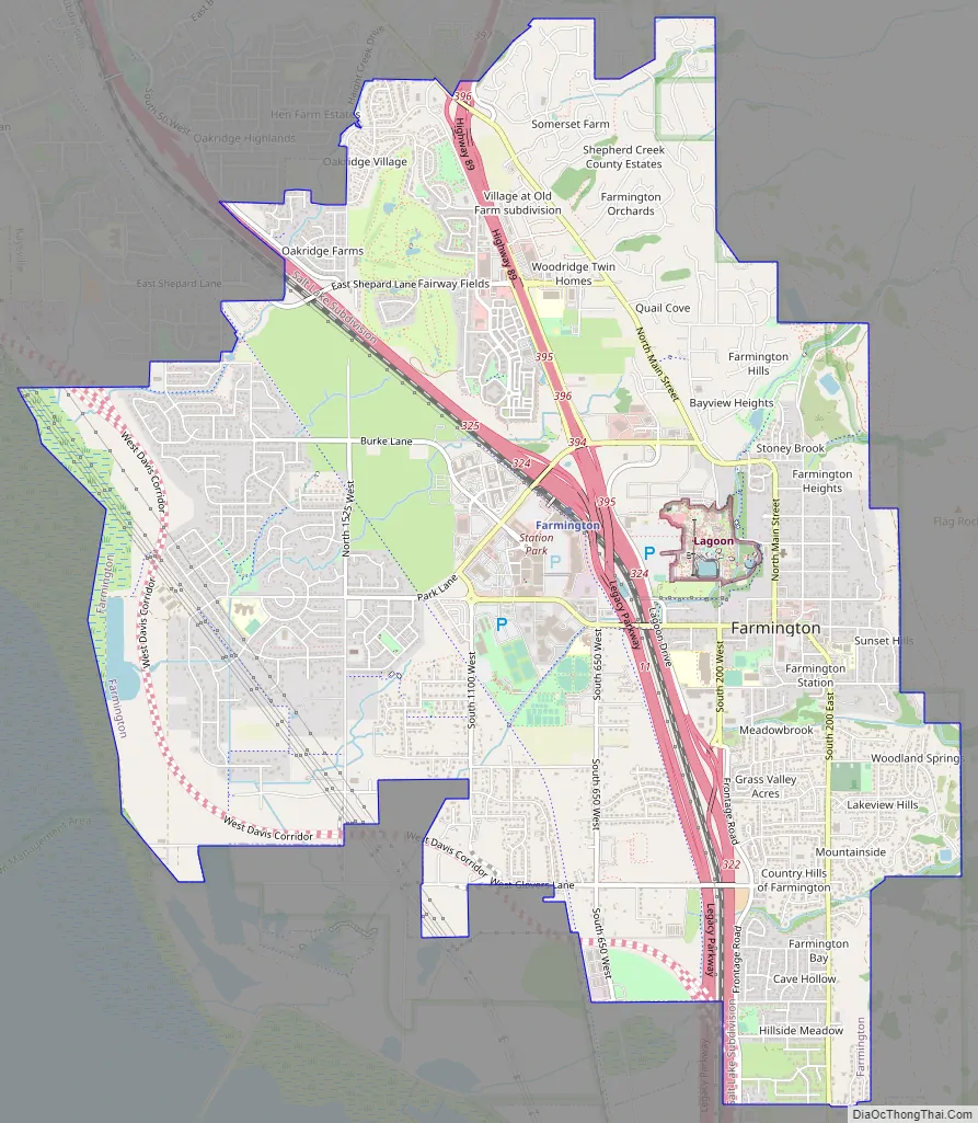
Farmington city Satellite Map

Geography
Farmington is located in east-central Davis County. It is bordered by Kaysville and Fruit Heights to the north and by Centerville to the south. The Wasatch Mountains are to the east, and the Great Salt Lake is to the west. According to the United States Census Bureau, the city has a total area of 10.0 square miles (25.8 km), of which 9.8 square miles (25.5 km) is land and 0.1 square miles (0.2 km), or 0.96%, is water.
Lake-enhanced snowfall occurs frequently during the winter, and cool downslope mountain breezes occur on most summer evenings. Under the Köppen climate classification, Farmington experiences what may be classified as a hot-summer Mediterranean climate (Csa), despite not being on the west coast of an ocean like most Mediterranean climates. It may also be classified as humid continental (Dsa), if the boundary between continental and subtropical climate is an average January temperature of 0 °C (32 °F) rather than −3 °C (27 °F).
See also
Map of Utah State and its subdivision: Map of other states:- Alabama
- Alaska
- Arizona
- Arkansas
- California
- Colorado
- Connecticut
- Delaware
- District of Columbia
- Florida
- Georgia
- Hawaii
- Idaho
- Illinois
- Indiana
- Iowa
- Kansas
- Kentucky
- Louisiana
- Maine
- Maryland
- Massachusetts
- Michigan
- Minnesota
- Mississippi
- Missouri
- Montana
- Nebraska
- Nevada
- New Hampshire
- New Jersey
- New Mexico
- New York
- North Carolina
- North Dakota
- Ohio
- Oklahoma
- Oregon
- Pennsylvania
- Rhode Island
- South Carolina
- South Dakota
- Tennessee
- Texas
- Utah
- Vermont
- Virginia
- Washington
- West Virginia
- Wisconsin
- Wyoming