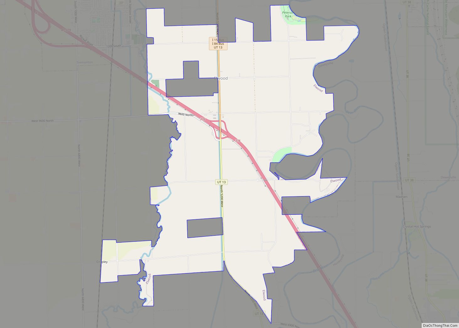
Elwood is a town in Box Elder County, Utah, United States. The population was 1,173 at the 2020 census, up from the 2010 figure of 1,034.
| Name: | Elwood town |
|---|---|
| LSAD Code: | 43 |
| LSAD Description: | town (suffix) |
| State: | Utah |
| County: | Box Elder County |
| Incorporated: | 1933 |
| Elevation: | 4,298 ft (1,310 m) |
| Total Area: | 8.07 sq mi (20.91 km²) |
| Land Area: | 8.06 sq mi (20.88 km²) |
| Water Area: | 0.01 sq mi (0.04 km²) |
| Total Population: | 1,173 |
| Population Density: | 150/sq mi (56/km²) |
| ZIP code: | 84337 |
| Area code: | 435 |
| FIPS code: | 4922760 |
| GNISfeature ID: | 1427809 |
| Website: | www.elwoodtown.com |
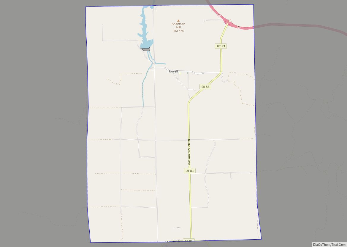
Online Interactive Map
Click on ![]() to view map in "full screen" mode.
to view map in "full screen" mode.
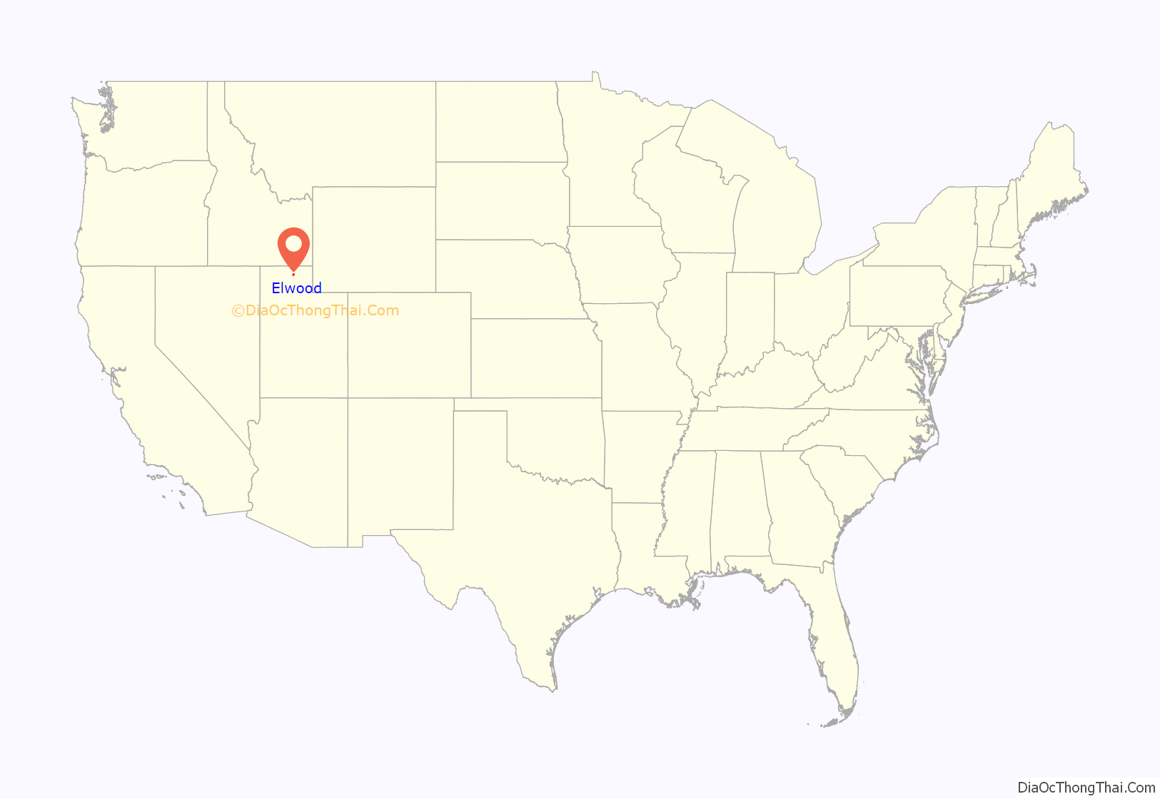
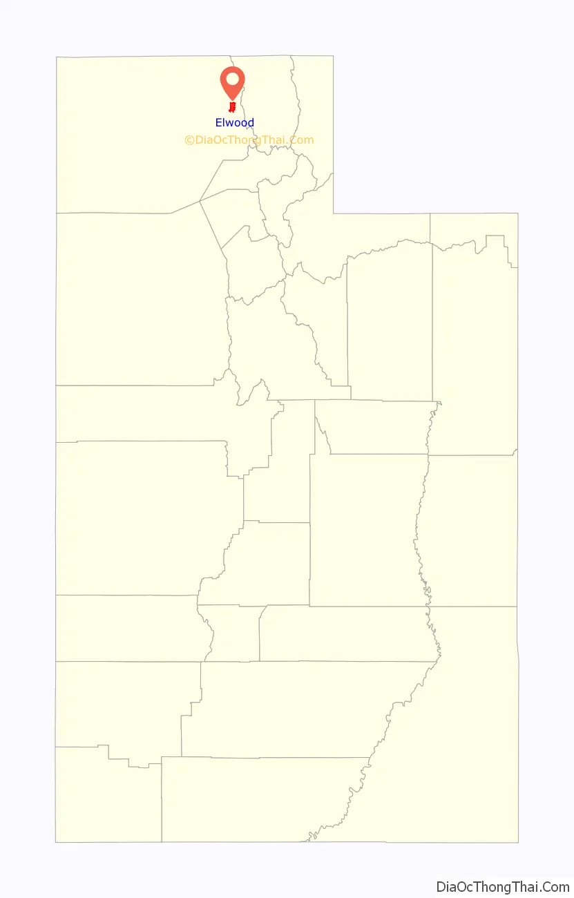
Elwood location map. Where is Elwood town?
Elwood Road Map

Elwood city Satellite Map

Geography
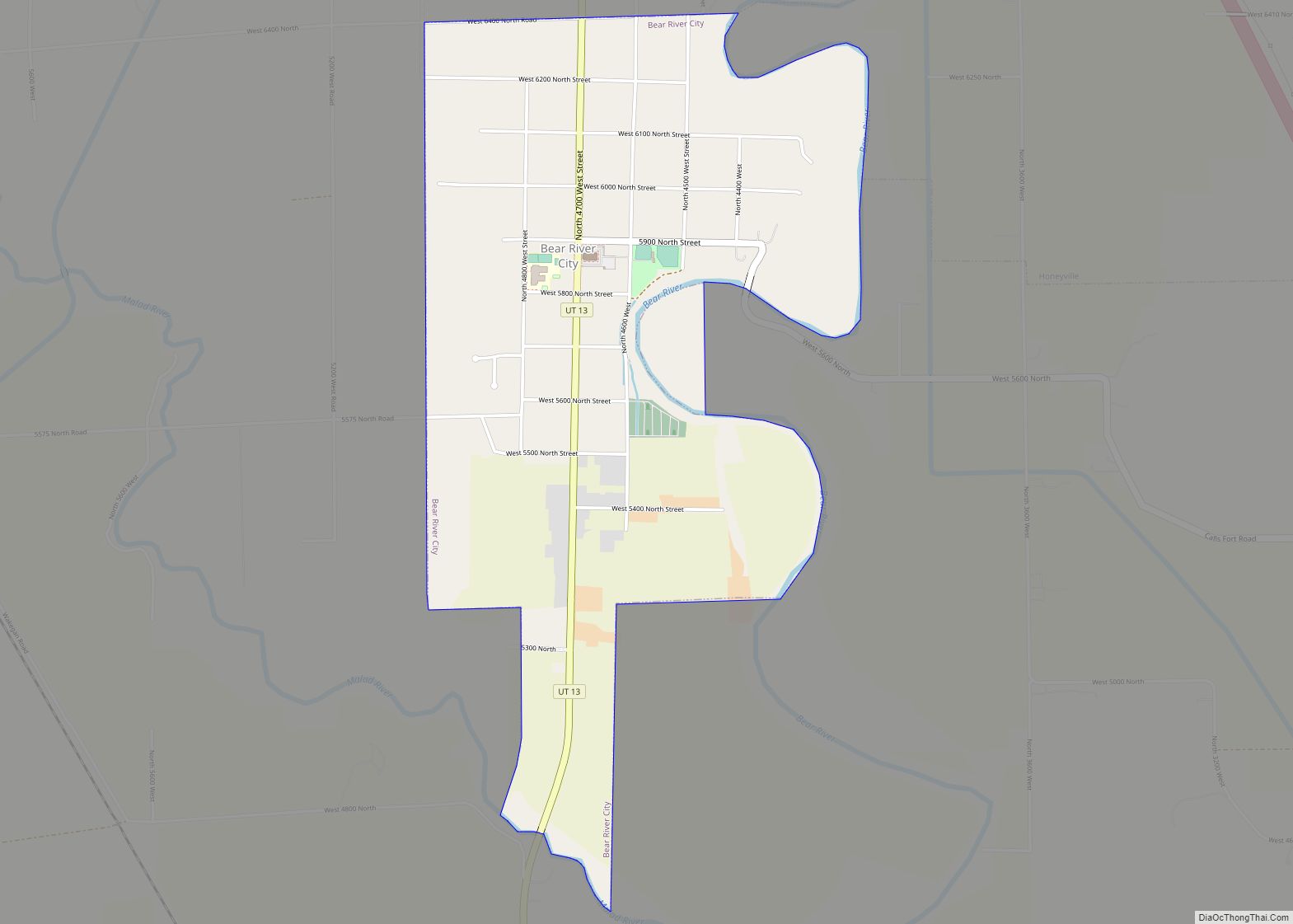
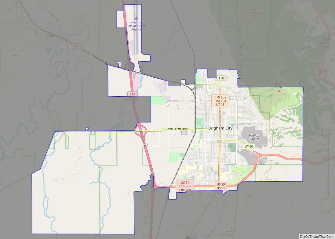
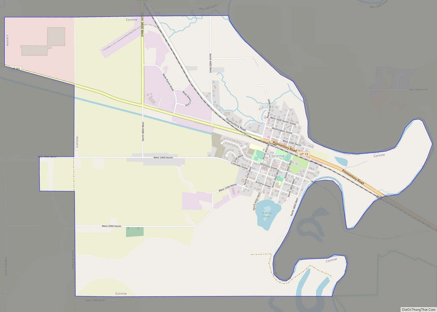
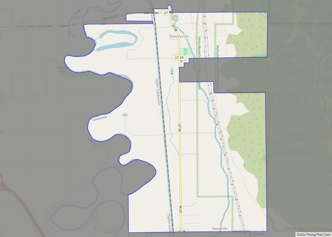
Elwood is located in eastern Box Elder County in the Bear River Valley. The Bear River forms part of the eastern border of the town, and the Malad River forms part of the western border. The town of Deweyville and the city of Honeyville are to the east, and the city of Tremonton is to the northwest.
Interstate Highways 15 and 84 run through the town, with access from Exit 376 (Utah State Route 13, the main local road through the town).
According to the United States Census Bureau, the town has a total area of 7.8 square miles (20.3 km), of which 0.02 square miles (0.04 km), or 0.17%, is water.
See also
Map of Utah State and its subdivision: Map of other states:- Alabama
- Alaska
- Arizona
- Arkansas
- California
- Colorado
- Connecticut
- Delaware
- District of Columbia
- Florida
- Georgia
- Hawaii
- Idaho
- Illinois
- Indiana
- Iowa
- Kansas
- Kentucky
- Louisiana
- Maine
- Maryland
- Massachusetts
- Michigan
- Minnesota
- Mississippi
- Missouri
- Montana
- Nebraska
- Nevada
- New Hampshire
- New Jersey
- New Mexico
- New York
- North Carolina
- North Dakota
- Ohio
- Oklahoma
- Oregon
- Pennsylvania
- Rhode Island
- South Carolina
- South Dakota
- Tennessee
- Texas
- Utah
- Vermont
- Virginia
- Washington
- West Virginia
- Wisconsin
- Wyoming