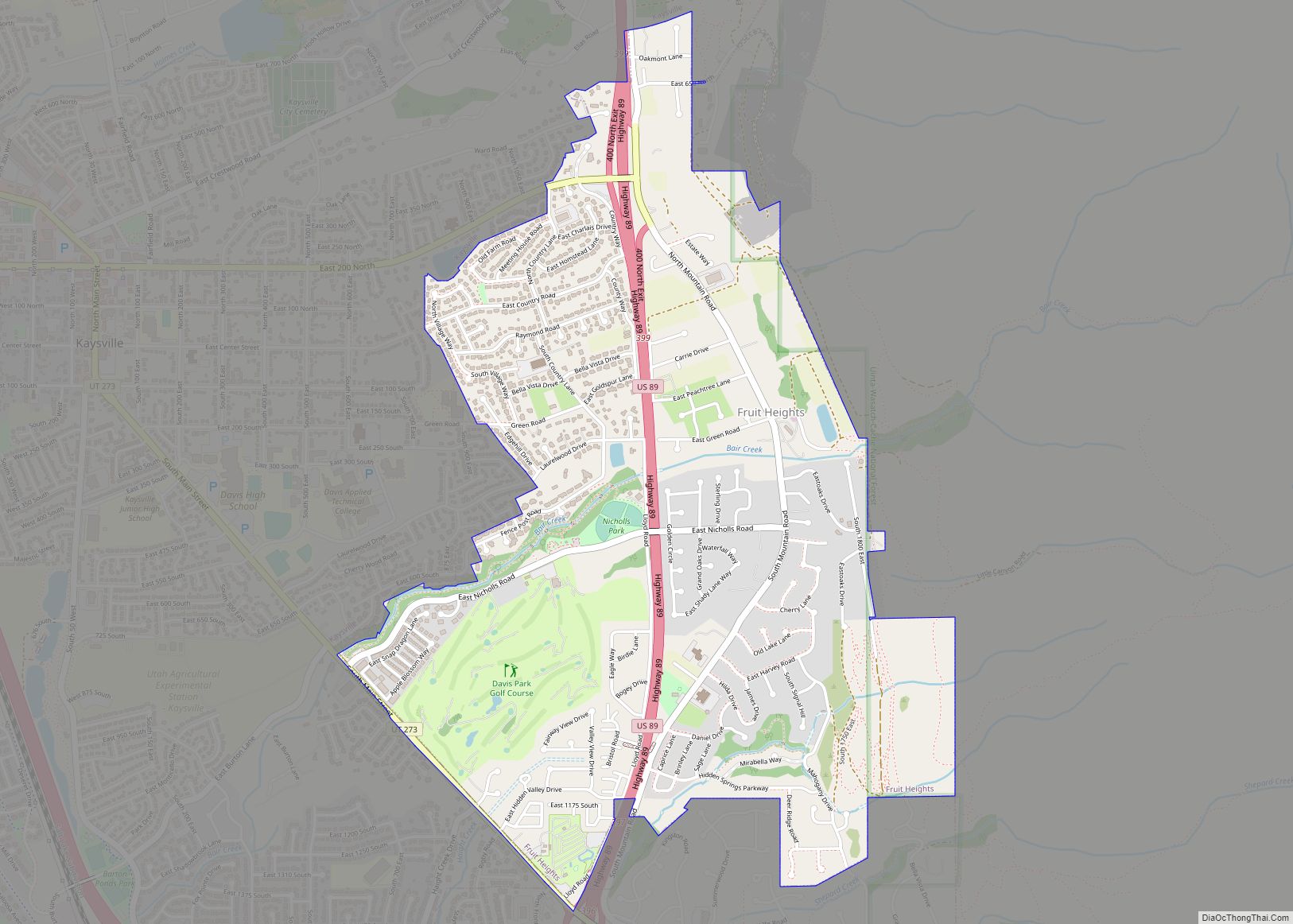
Fruit Heights is a city in eastern Davis County, Utah, United States. It is part of the Ogden–Clearfield, Utah Metropolitan Statistical Area. It lies along the Wasatch Front adjacent to the larger cities of Farmington and Kaysville. Its population was 4,987 at the 2010 census, with an estimated population of 6,234 in 2018.
| Name: | Fruit Heights city |
|---|---|
| LSAD Code: | 25 |
| LSAD Description: | city (suffix) |
| State: | Utah |
| County: | Davis County |
| Incorporated: | 1939 |
| Elevation: | 4,698 ft (1,432 m) |
| Total Area: | 2.30 sq mi (5.95 km²) |
| Land Area: | 2.29 sq mi (5.93 km²) |
| Water Area: | 0.01 sq mi (0.02 km²) |
| Total Population: | 4,987 |
| Population Density: | 2,718.97/sq mi (1,049.94/km²) |
| ZIP code: | 84037 |
| Area code: | 385, 801 |
| FIPS code: | 4927490 |
| GNISfeature ID: | 1441248 |
| Website: | www.fruitheightscity.com |
Online Interactive Map
Click on ![]() to view map in "full screen" mode.
to view map in "full screen" mode.
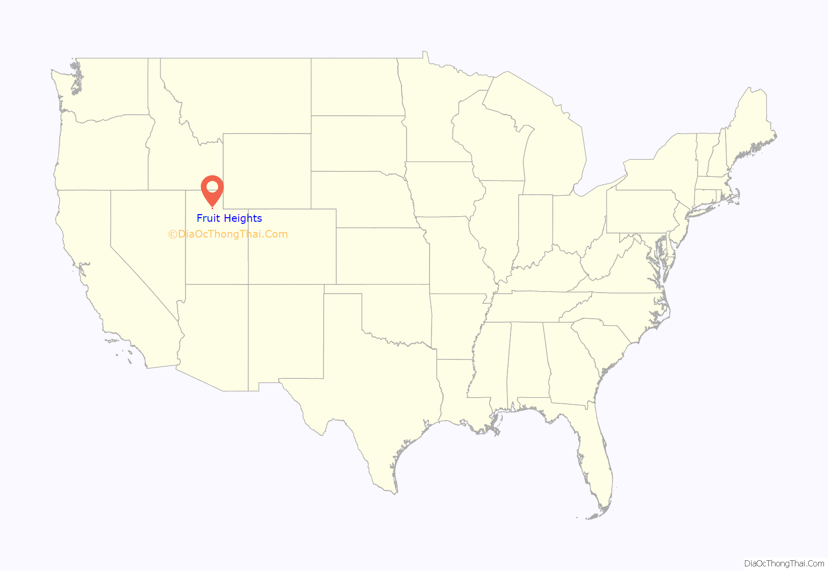
Fruit Heights location map. Where is Fruit Heights city?
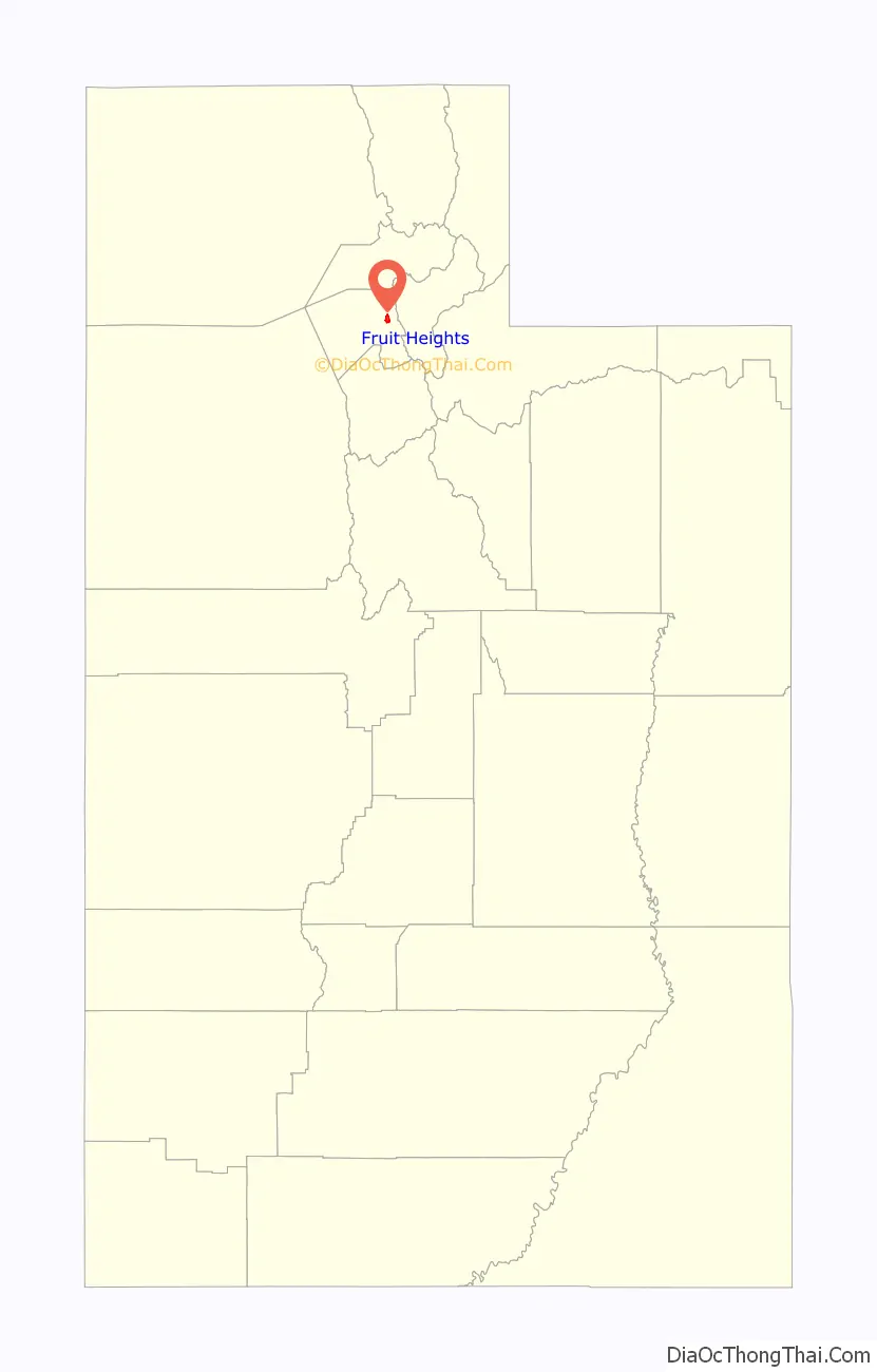
Fruit Heights Road Map
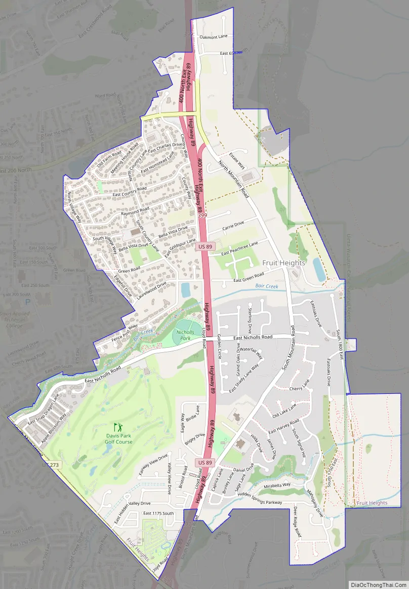
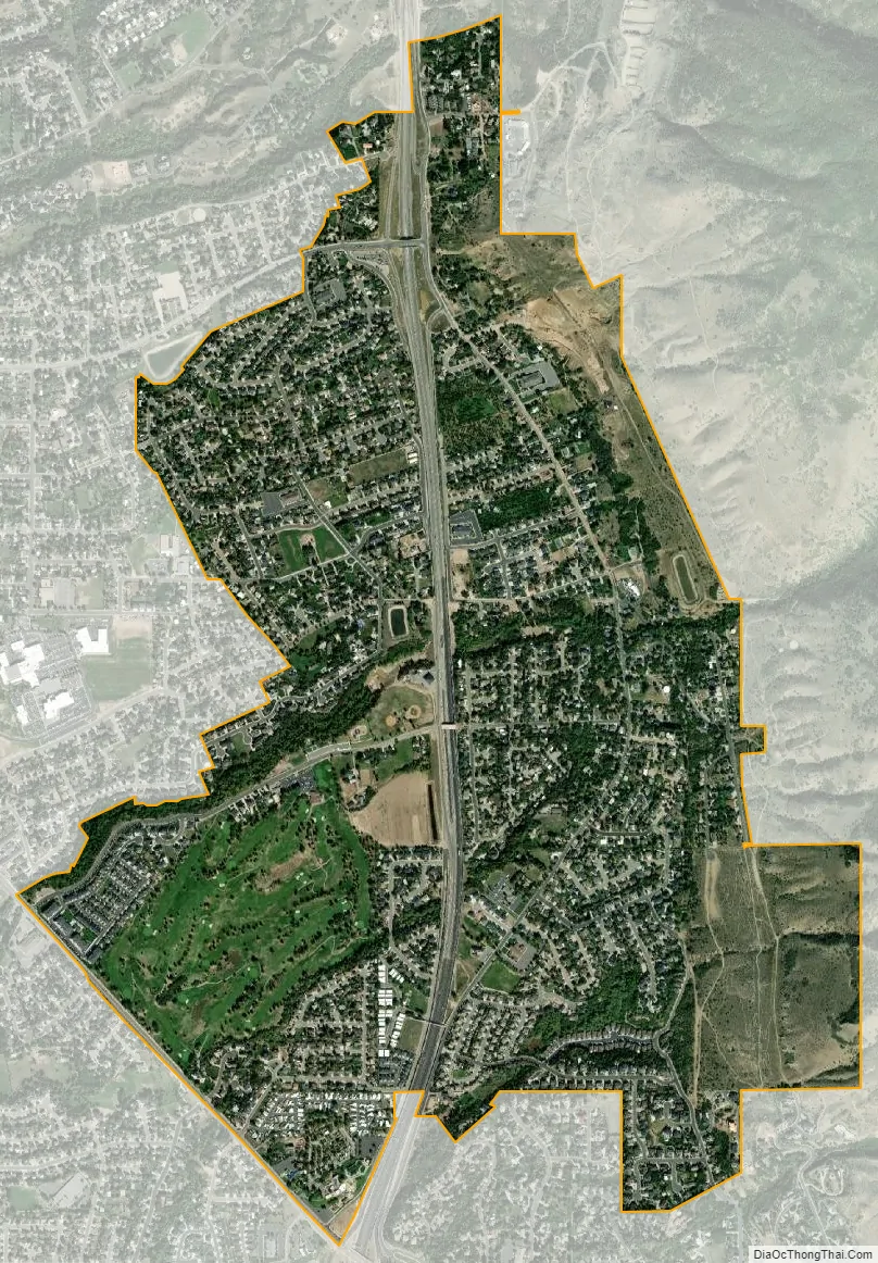
Fruit Heights city Satellite Map
Geography
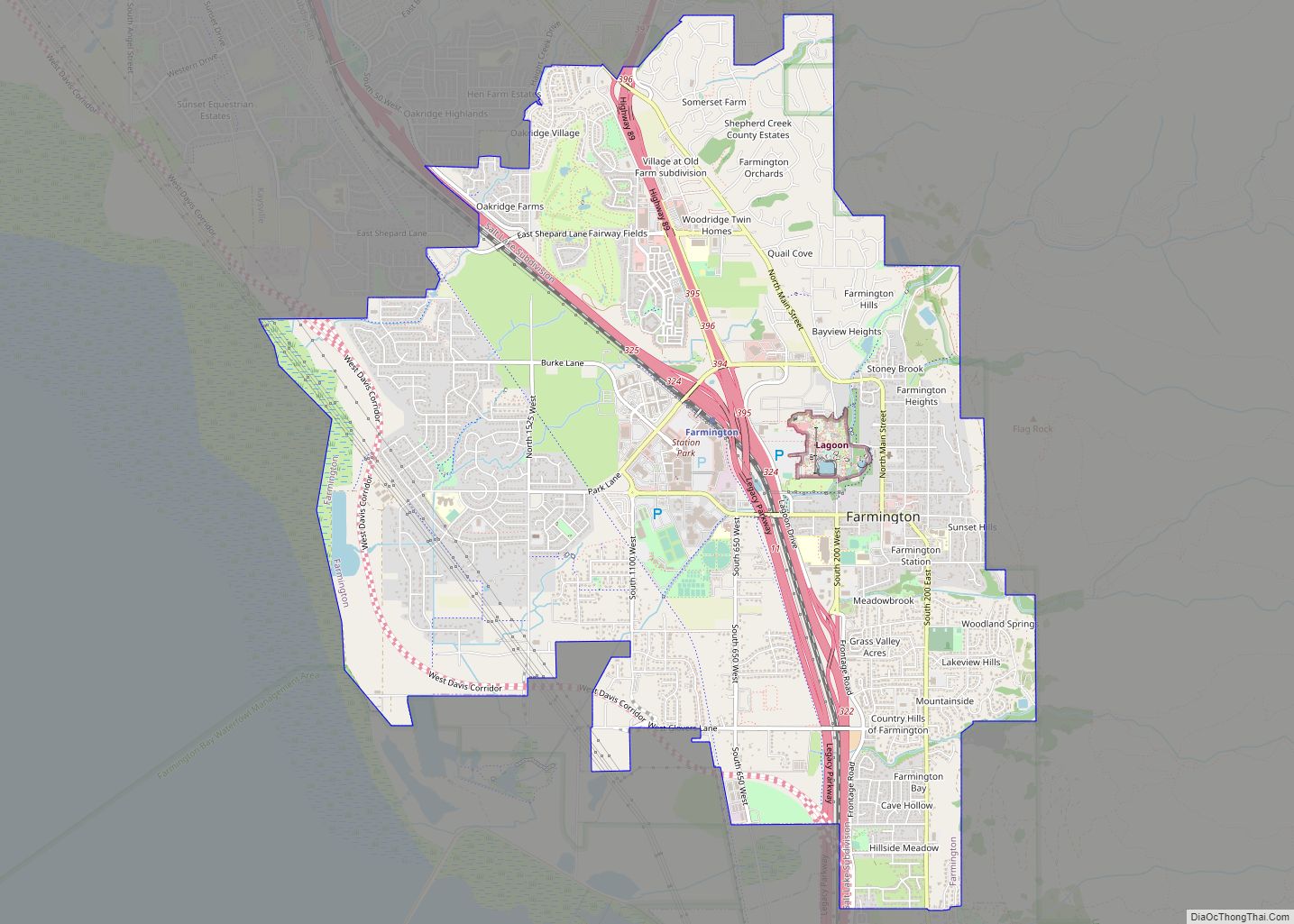
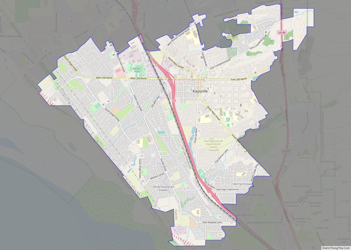
Fruit Heights is bordered by the city of Kaysville to the north and west, the city of Farmington to the south and the Wasatch Range to the east. According to the United States Census Bureau, Fruit Heights has a total area of 2.3 square miles (5.9 km), of which 0.01 square miles (0.02 km), or 0.42%, is water.
See also
Map of Utah State and its subdivision: Map of other states:- Alabama
- Alaska
- Arizona
- Arkansas
- California
- Colorado
- Connecticut
- Delaware
- District of Columbia
- Florida
- Georgia
- Hawaii
- Idaho
- Illinois
- Indiana
- Iowa
- Kansas
- Kentucky
- Louisiana
- Maine
- Maryland
- Massachusetts
- Michigan
- Minnesota
- Mississippi
- Missouri
- Montana
- Nebraska
- Nevada
- New Hampshire
- New Jersey
- New Mexico
- New York
- North Carolina
- North Dakota
- Ohio
- Oklahoma
- Oregon
- Pennsylvania
- Rhode Island
- South Carolina
- South Dakota
- Tennessee
- Texas
- Utah
- Vermont
- Virginia
- Washington
- West Virginia
- Wisconsin
- Wyoming