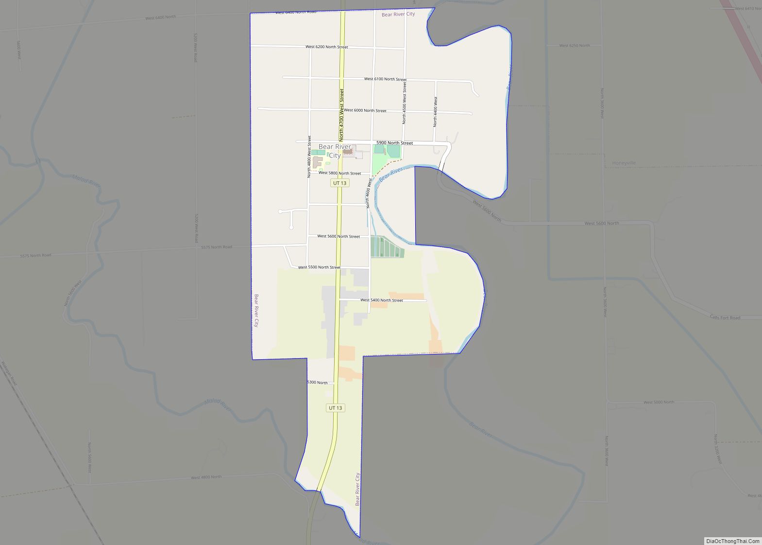
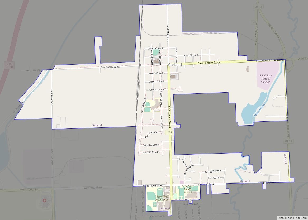
Garland is a city in northeastern Box Elder County, Utah, United States. The population was 2,400 at the 2010 census.
| Name: | Garland city |
|---|---|
| LSAD Code: | 25 |
| LSAD Description: | city (suffix) |
| State: | Utah |
| County: | Box Elder County |
| Elevation: | 4,340 ft (1,323 m) |
| Total Area: | 1.81 sq mi (4.69 km²) |
| Land Area: | 1.81 sq mi (4.69 km²) |
| Water Area: | 0.00 sq mi (0.00 km²) |
| Total Population: | 2,400 |
| Population Density: | 1,430.94/sq mi (552.57/km²) |
| ZIP code: | 84312 |
| Area code: | 435 |
| FIPS code: | 4928150 |
| GNISfeature ID: | 1428146 |
| Website: | www.garlandutah.org |
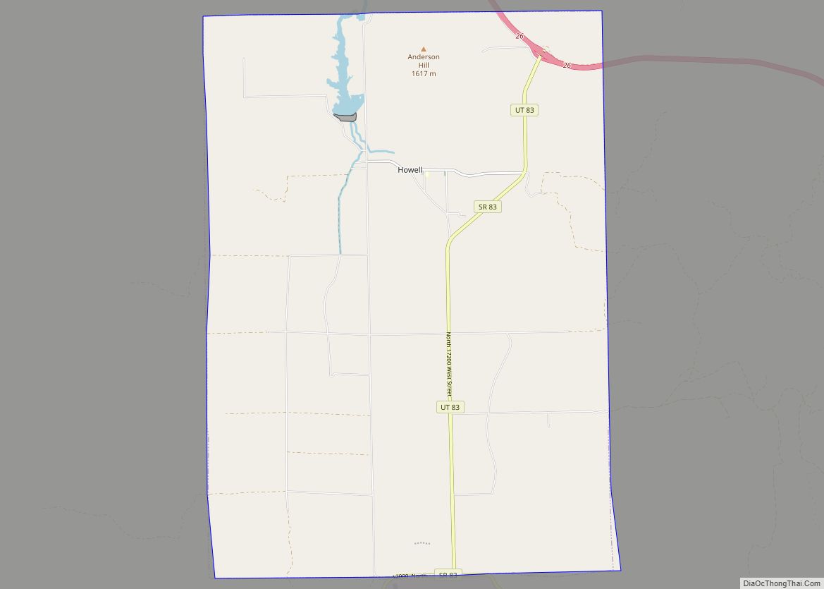
Online Interactive Map
Click on ![]() to view map in "full screen" mode.
to view map in "full screen" mode.
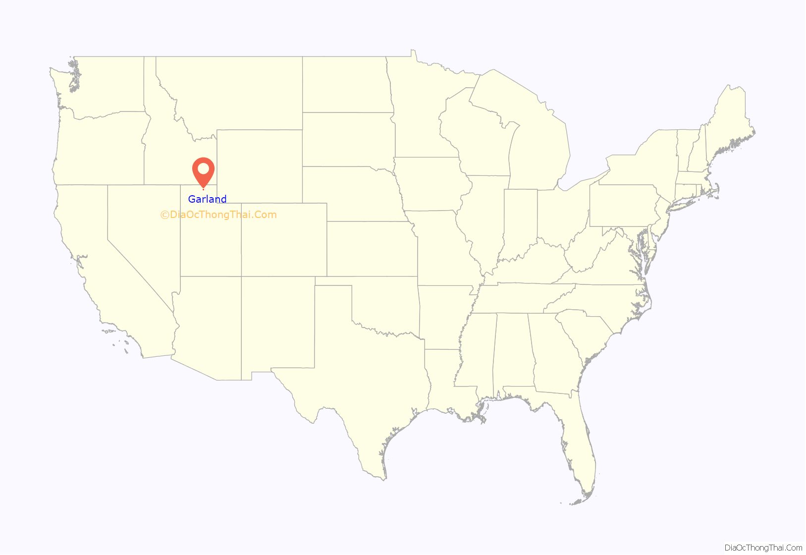
Garland location map. Where is Garland city?

History
Garland was originally named “Sunset” and settled in 1890. The first settler was David E. Manning.
It was a company town and was renamed after William Garland, the contractor who built the Utah Sugar Company factory at the location, completed in 1903. The company donated land to the LDS Church for a “ward chapel and amusement hall” and also built 14 homes, a hotel, and other buildings. The town had a general store, a bank, a post office, and a newspaper named The Garland Globe in 1906. By the 1920s there were other merchants, a flour mill, a Carnegie library, and a high school.
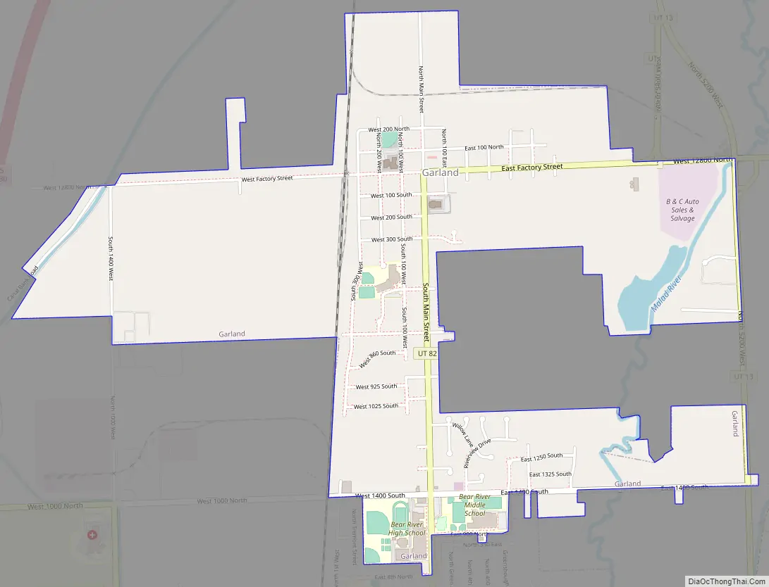
Garland Road Map
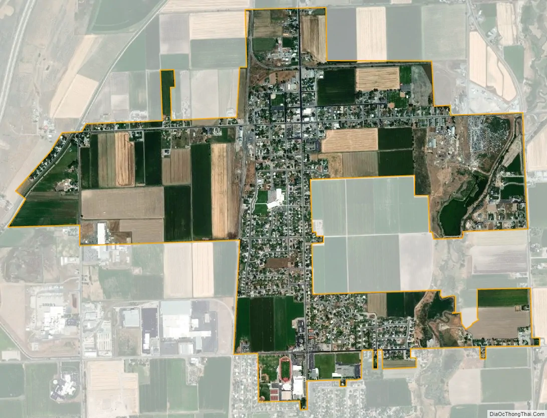
Garland city Satellite Map
Geography
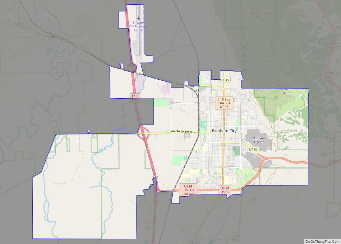
Garland is located in eastern Box Elder County in the Bear River Valley. It is bordered by the city of Tremonton to the south. Interstate 15 passes to the west of Garland, with the closest access from Exit 381, 2.5 miles (4.0 km) southwest of the center of town.
According to the United States Census Bureau, the city has a total area of 1.9 square miles (4.9 km), all land.
See also
Map of Utah State and its subdivision: Map of other states:- Alabama
- Alaska
- Arizona
- Arkansas
- California
- Colorado
- Connecticut
- Delaware
- District of Columbia
- Florida
- Georgia
- Hawaii
- Idaho
- Illinois
- Indiana
- Iowa
- Kansas
- Kentucky
- Louisiana
- Maine
- Maryland
- Massachusetts
- Michigan
- Minnesota
- Mississippi
- Missouri
- Montana
- Nebraska
- Nevada
- New Hampshire
- New Jersey
- New Mexico
- New York
- North Carolina
- North Dakota
- Ohio
- Oklahoma
- Oregon
- Pennsylvania
- Rhode Island
- South Carolina
- South Dakota
- Tennessee
- Texas
- Utah
- Vermont
- Virginia
- Washington
- West Virginia
- Wisconsin
- Wyoming