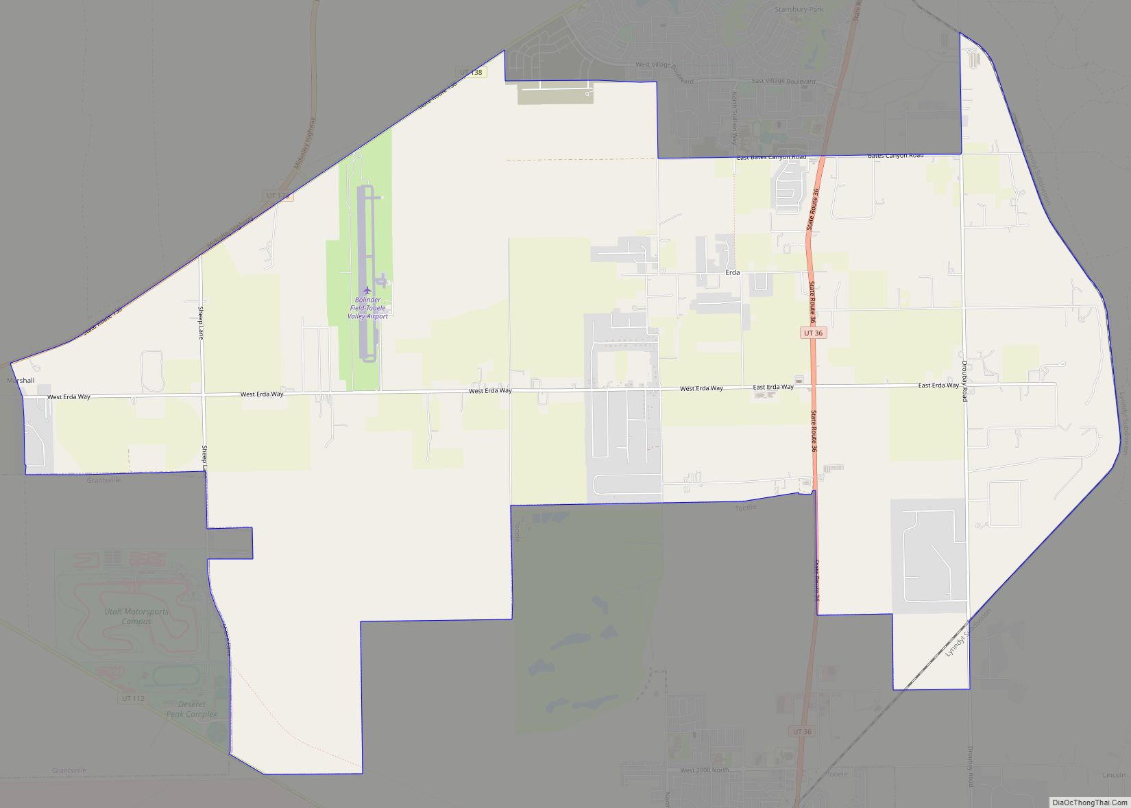
Erda (/ˈɜːrdə/ UR-də) is a city in Tooele County, Utah, United States. The population was 4,642 at the 2010 census, a significant increase from the 2000 figure of 2,473. Erda was previously a Census Designated Place (CDP) and a township but officially received its incorporation certificate in January 2022.
| Name: | Erda CDP |
|---|---|
| LSAD Code: | 57 |
| LSAD Description: | CDP (suffix) |
| State: | Utah |
| County: | Tooele County |
| Elevation: | 4,344 ft (1,324 m) |
| Total Area: | 22.5 sq mi (58.2 km²) |
| Land Area: | 22.5 sq mi (58.2 km²) |
| Water Area: | 0.0 sq mi (0.0 km²) |
| Total Population: | 4,642 |
| Population Density: | 210/sq mi (80/km²) |
| ZIP code: | 84074 |
| Area code: | 435 |
| FIPS code: | 4923640 |
| GNISfeature ID: | 1437555 |
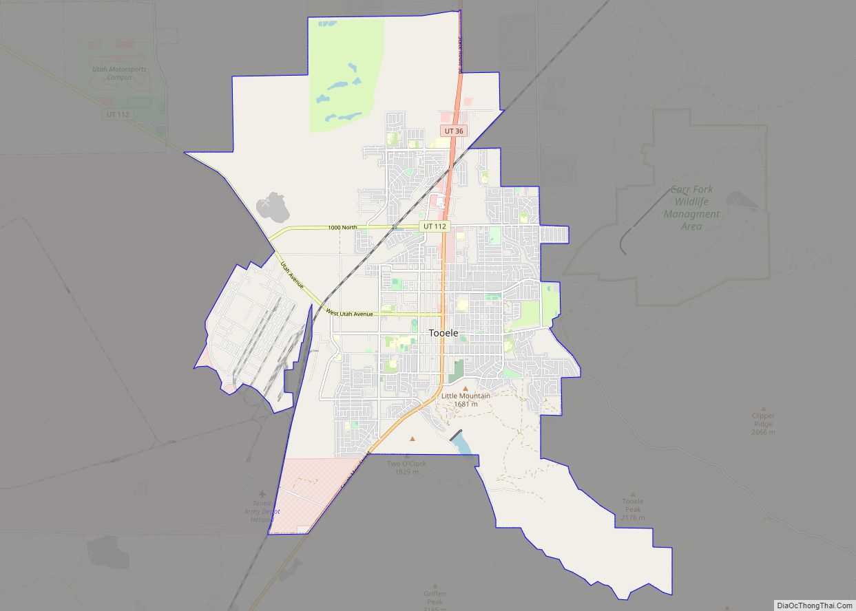
Online Interactive Map
Click on ![]() to view map in "full screen" mode.
to view map in "full screen" mode.
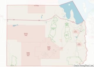
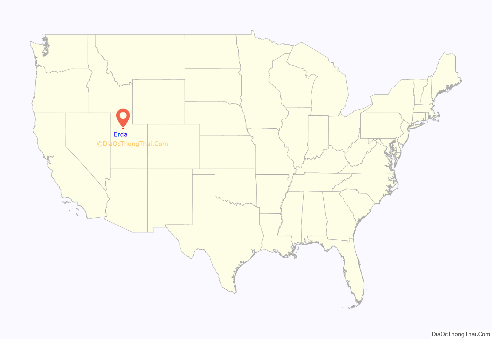
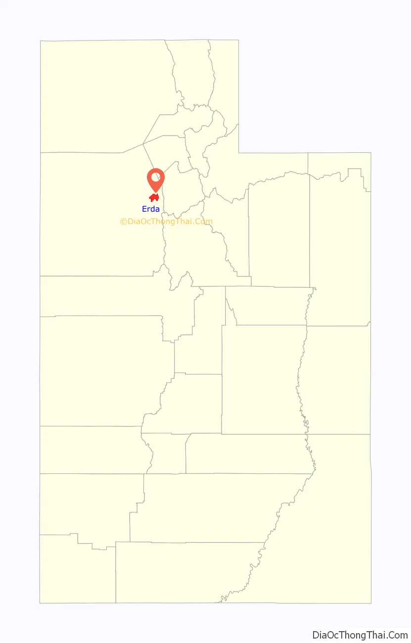
Erda location map. Where is Erda CDP?
Erda Road Map

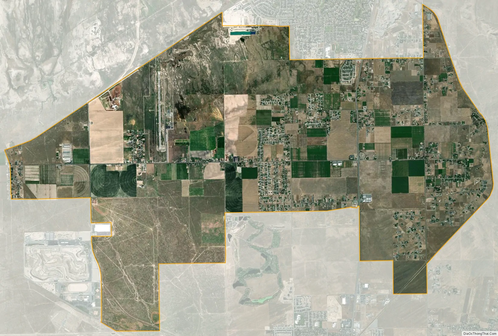
Erda city Satellite Map
Geography
Erda is located just south Stansbury Park, west of SR-36, and north of the county seat of Tooele. When it was still listed as a CDP, the United States Census Bureau reported its total area as 22.5 square miles (58 km), all land. The community has been known in the past by the names Bates and Batesville.
See also
Map of Utah State and its subdivision: Map of other states:- Alabama
- Alaska
- Arizona
- Arkansas
- California
- Colorado
- Connecticut
- Delaware
- District of Columbia
- Florida
- Georgia
- Hawaii
- Idaho
- Illinois
- Indiana
- Iowa
- Kansas
- Kentucky
- Louisiana
- Maine
- Maryland
- Massachusetts
- Michigan
- Minnesota
- Mississippi
- Missouri
- Montana
- Nebraska
- Nevada
- New Hampshire
- New Jersey
- New Mexico
- New York
- North Carolina
- North Dakota
- Ohio
- Oklahoma
- Oregon
- Pennsylvania
- Rhode Island
- South Carolina
- South Dakota
- Tennessee
- Texas
- Utah
- Vermont
- Virginia
- Washington
- West Virginia
- Wisconsin
- Wyoming