Map of Cape Charles town
Cape Charles is a town / municipal corporation in Northampton County, Virginia, United States. The population was 1,009 as of the 2010 Census. Cape Charles town overview: Name: Cape Charles town LSAD Code: 43 LSAD Description: town (suffix) State: Virginia County: Northampton County Elevation: 3 ft (0.9 m) Total Area: 3.62 sq mi (9.36 km²) Land Area: 3.55 sq mi (9.20 km²) Water ... Read more
Map of Cape Charles town
Map of Cana CDP
Cana is a census-designated place (CDP) in Carroll County, Virginia, United States. The population was 1,254 at the 2010 census, up from 1,228 in 2000. It is the only CDP designated area in the county that is outside of the Appalachian Mountains in the Virginia Piedmont. Cana CDP overview: Name: Cana CDP LSAD Code: 57 ... Read more
Map of Cana CDP
Map of Camptown CDP
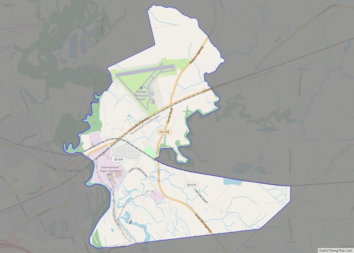
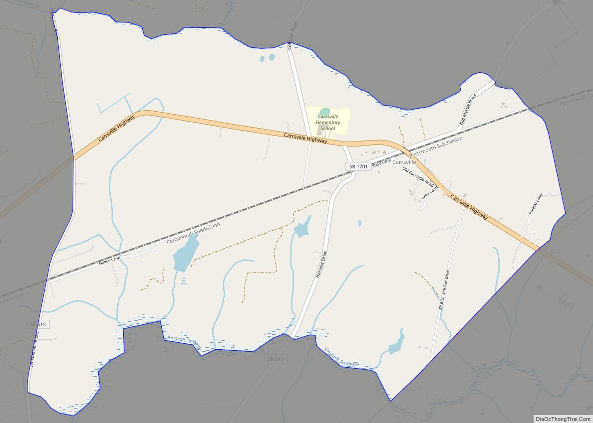
Camptown is a census-designated place in Isle of Wight County, Virginia, United States, lying just east of Franklin. The population as of the 2010 census was 766. The International Paper mill (formerly Union Camp, now closed) is here along with a black Community known as Camptown. Camptown CDP overview: Name: Camptown CDP LSAD Code: 57 ... Read more
Map of Camptown CDP
Map of Chamberlayne CDP
Chamberlayne is a census-designated place (CDP) in Henrico County, Virginia, United States. The population was 5,581 at the 2020 census. Chamberlayne CDP overview: Name: Chamberlayne CDP LSAD Code: 57 LSAD Description: CDP (suffix) State: Virginia County: Henrico County Elevation: 180 ft (50 m) Total Area: 3.7 sq mi (9.5 km²) Land Area: 3.4 sq mi (8.7 km²) Water Area: 0.3 sq mi (0.9 km²) Total Population: ... Read more
Map of Chamberlayne CDP
Map of Central Garage CDP
Central Garage is a census-designated place (CDP) in King William County, Virginia, United States. The population as of the 2010 census was 1,318. Central Garage CDP overview: Name: Central Garage CDP LSAD Code: 57 LSAD Description: CDP (suffix) State: Virginia County: King William County Elevation: 168 ft (51 m) Total Area: 4.9 sq mi (12.6 km²) Land Area: 4.8 sq mi (12.5 km²) ... Read more
Map of Central Garage CDP
Map of Cedar Bluff town, Virginia
Cedar Bluff is a town in Tazewell County, Virginia, United States. The population was 1,139 at the 2010 census. It is part of the Bluefield, WV-VA micropolitan area, which has a population of 107,578. Cedar Bluff town overview: Name: Cedar Bluff town LSAD Code: 43 LSAD Description: town (suffix) State: Virginia County: Tazewell County Elevation: ... Read more
Map of Cedar Bluff town, Virginia
Map of Cave Spring CDP, Virginia
Cave Spring CDP overview: Name: Cave Spring CDP LSAD Code: 57 LSAD Description: CDP (suffix) State: Virginia County: Roanoke County FIPS code: 5113720 Online Interactive Map Cave Spring online map. Source: Basemap layers from Google Map, Open Street Map (OSM), Arcgisonline, Wmflabs. Boundary Data from Database of Global Administrative Areas. Cave Spring location map. Where ... Read more
Map of Cave Spring CDP, Virginia
Map of Castlewood CDP, Virginia
Castlewood is a census-designated place (CDP) in Russell County, Virginia, United States. The population was 2,045 at the 2010 census, a small increase from the 2,036 reported in 2000. Castlewood was an incorporated town from 1991 to 1997, when it reverted to unincorporated status. Castlewood CDP overview: Name: Castlewood CDP LSAD Code: 57 LSAD Description: ... Read more
Map of Castlewood CDP, Virginia
Map of Carrsville CDP, Virginia
Carrsville is a census-designated place (CDP) in Isle of Wight County in the Hampton Roads region of southeastern Virginia in the United States. The population as of the 2010 Census was 359. The town is named for Jesse Carr, whose family had long roots in Isle of Wight County. Jesse Carr died in the place ... Read more
Map of Carrsville CDP, Virginia
Map of Chester Gap CDP
Chester Gap is a census-designated place (CDP) in Rappahannock and Warren counties, Virginia, United States. The population as of the 2010 Census was 839. The CDP is named for Chester Gap, the wind gap within which it is located. Chester Gap CDP overview: Name: Chester Gap CDP LSAD Code: 57 LSAD Description: CDP (suffix) State: ... Read more
Map of Chester Gap CDP
Map of Cherry Hill CDP
Cherry Hill is a census-designated place (CDP) in Prince William County, Virginia, United States. The population was 16,000 according to the 2010 Census. As of the 2020 census, it was estimated to be 23,683. The CDP is made up of the Cherry Hill peninsula, to the northeast of the town of Dumfries. Cherry Hill CDP ... Read more
Map of Cherry Hill CDP
Map of Cheriton town
Cheriton is a town in Northampton County, Virginia, United States. The population was 487 at the 2010 census. Cheriton town overview: Name: Cheriton town LSAD Code: 43 LSAD Description: town (suffix) State: Virginia County: Northampton County Elevation: 20 ft (6 m) Total Area: 1.09 sq mi (2.83 km²) Land Area: 1.09 sq mi (2.82 km²) Water Area: 0.01 sq mi (0.01 km²) Total Population: 487 Population ... Read more
Map of Cheriton town