Cedar Bluff is a town in Tazewell County, Virginia, United States. The population was 1,139 at the 2010 census. It is part of the Bluefield, WV-VA micropolitan area, which has a population of 107,578.
| Name: | Cedar Bluff town |
|---|---|
| LSAD Code: | 43 |
| LSAD Description: | town (suffix) |
| State: | Virginia |
| County: | Tazewell County |
| Elevation: | 1,955 ft (596 m) |
| Total Area: | 2.13 sq mi (5.51 km²) |
| Land Area: | 2.09 sq mi (5.41 km²) |
| Water Area: | 0.04 sq mi (0.10 km²) |
| Total Population: | 1,137 |
| Population Density: | 479.43/sq mi (185.08/km²) |
| ZIP code: | 24609 |
| Area code: | 276 |
| FIPS code: | 5113784 |
| GNISfeature ID: | 1500063 |
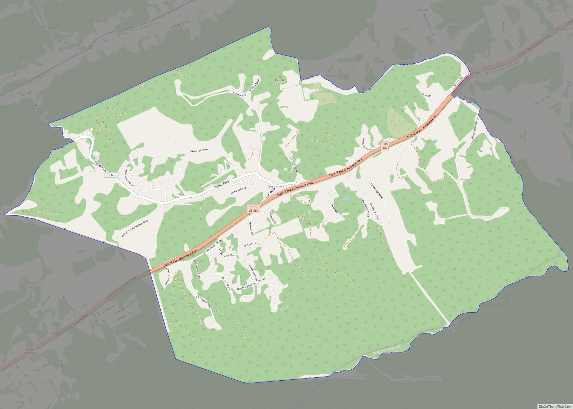
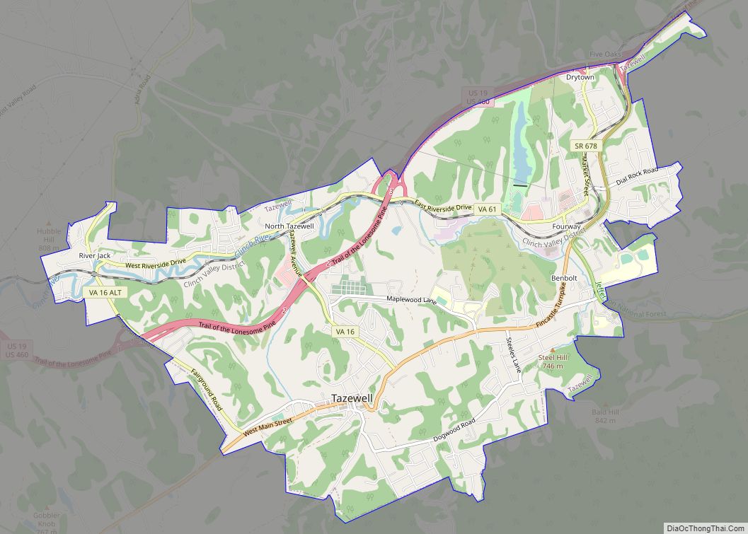
Online Interactive Map
Click on ![]() to view map in "full screen" mode.
to view map in "full screen" mode.
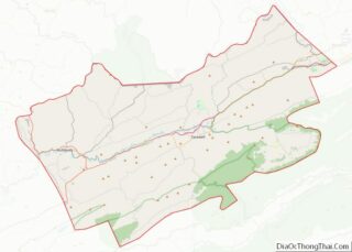
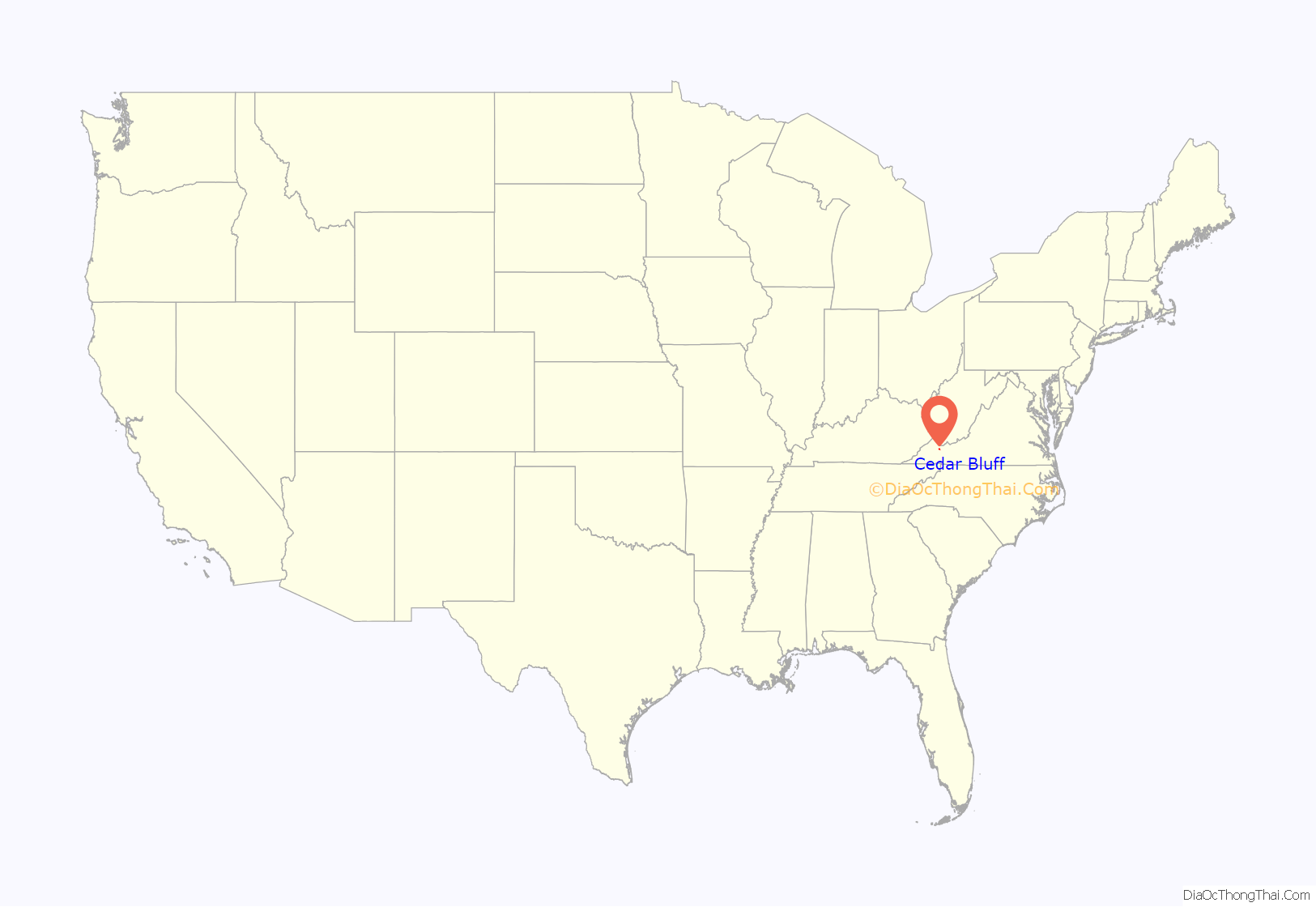
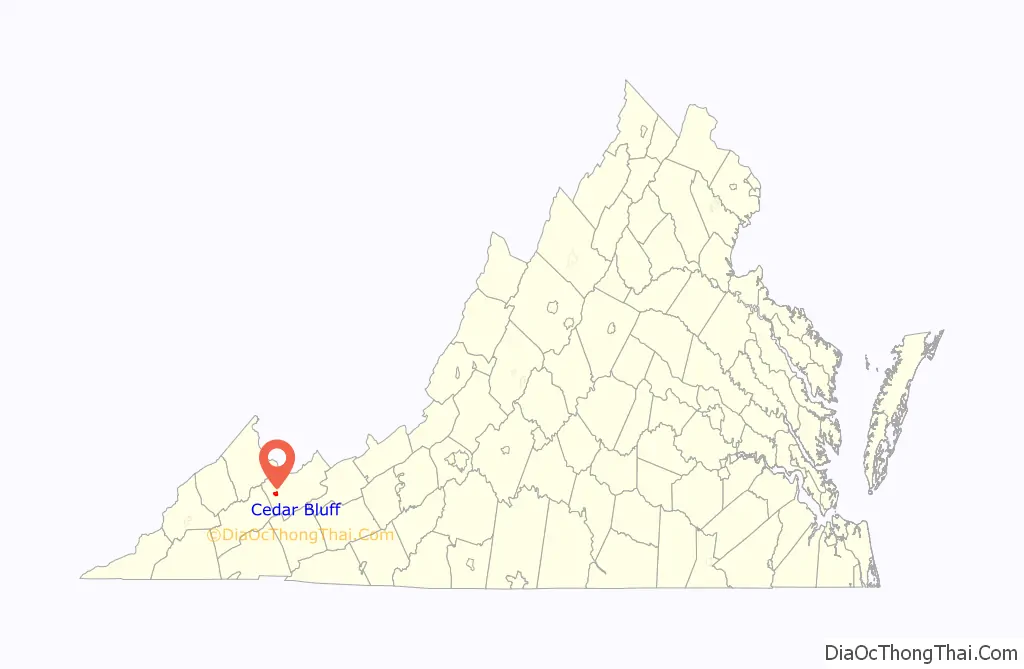
Cedar Bluff location map. Where is Cedar Bluff town?
History
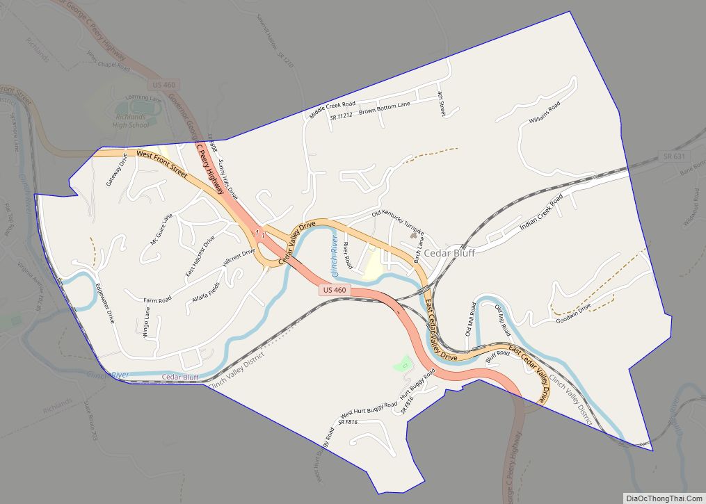
Cedar Bluff is a 19th-century mill town located on the banks of the Clinch River in Tazewell County, Virginia. Centered around the Old Kentucky Turnpike, a street looking much as it did when the Virginia Legislature chartered the thoroughfare in 1848, the nationally listed historic district extends from the restored old grist mill to the 1873 birthplace of Virginia Governor George C. Peery.
Cedar Bluff is the home of the Clinch Valley Blanket Mill which housed the Goodwin weavers, in operation from 1890 through World War II.
The Virginia Civil War Trails project includes a Cedar Bluff battle site, with two markers detailing the event. There are also several marked graves of Civil War Soldiers in the historic Jones Chapel Cemetery located in the West end of Cedar Bluff.
In addition, Cedar Bluff is home to the Cedar Bluff Overlook Park located high on a bluff overlooking the Clinch River and the downtown area of Cedar Bluff. Along the Overlook Trail, there are interpretive signs with information on the Clinch River habitat, including federally listed endangered species, as well as information on the geology of the bluff itself.
Also in Cedar Bluff there are ruins of the old McGuire Mill dam with the adjoining picnic area and access to the Clinch River.
The Clinch Valley Roller Mills and Old Kentucky Turnpike Historic District are listed on the National Register of Historic Places.
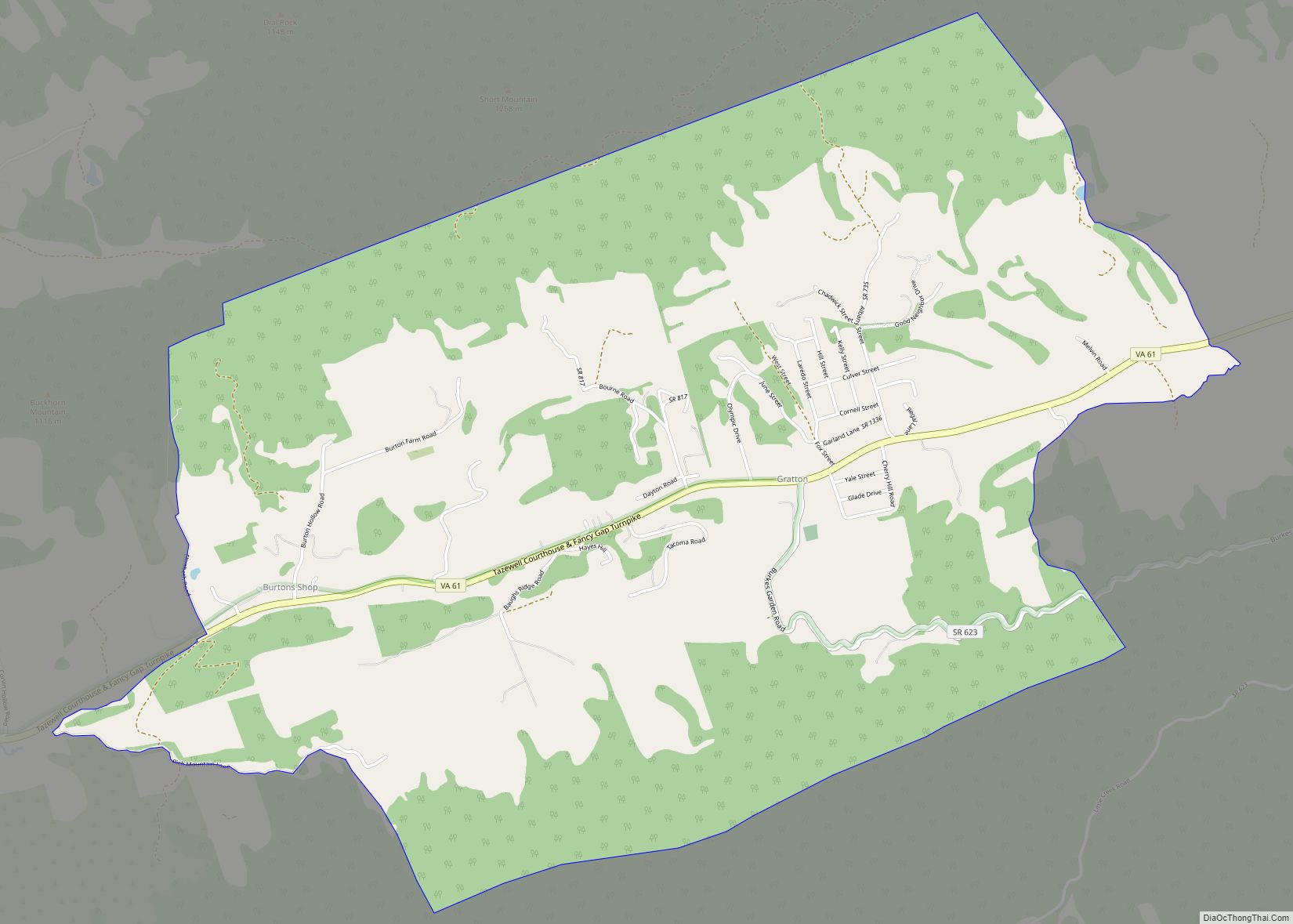
Cedar Bluff Road Map

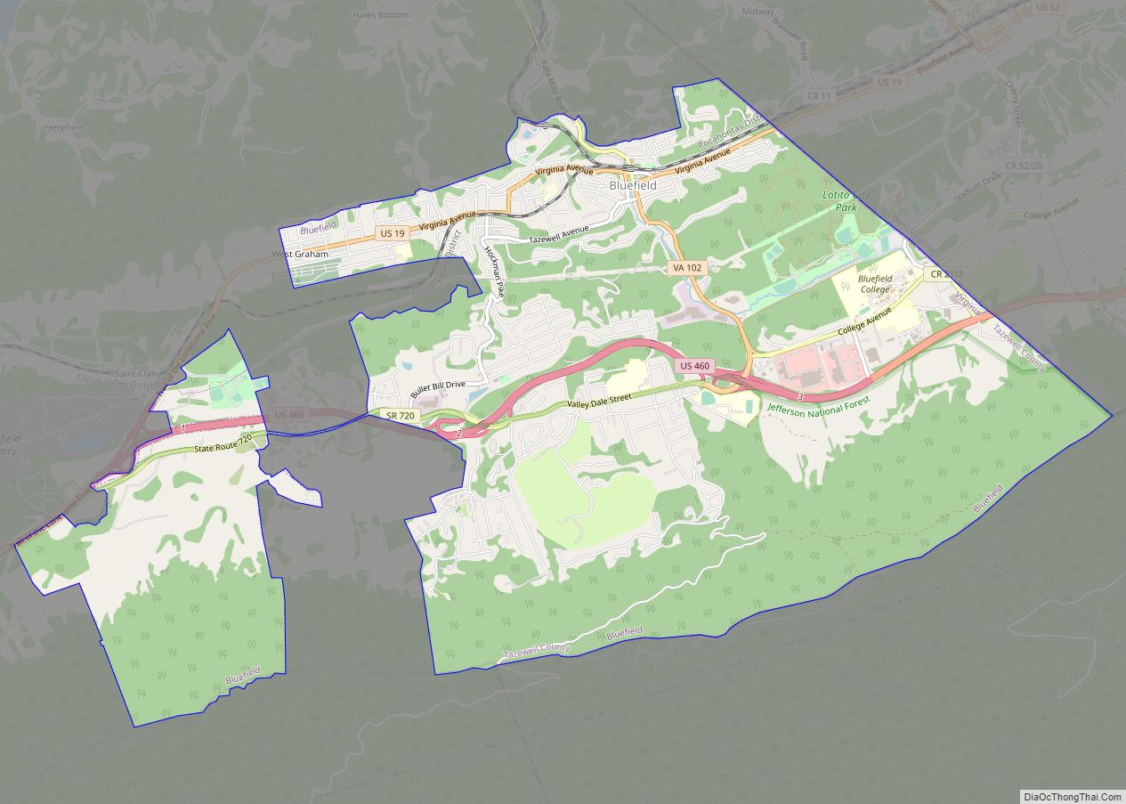
Cedar Bluff city Satellite Map

Geography
Cedar Bluff is located at 37°5′17″N 81°45′53″W / 37.08806°N 81.76472°W / 37.08806; -81.76472 (37.088073, −81.764803).
According to the United States Census Bureau, the town has a total area of 2.3 square miles (5.9 km), all land.
See also
Map of Virginia State and its subdivision:- Accomack
- Albemarle
- Alexandria
- Alleghany
- Amelia
- Amherst
- Appomattox
- Arlington
- Augusta
- Bath
- Bedford
- Bedford City
- Bland
- Botetourt
- Bristol
- Brunswick
- Buchanan
- Buckingham
- Buena Vista
- Campbell
- Caroline
- Carroll
- Charles City
- Charlotte
- Charlottesville
- Chesapeake
- Chesterfield
- Clarke
- Clifton Forge City
- Colonial Heights
- Covington
- Craig
- Culpeper
- Cumberland
- Danville
- Dickenson
- Dinwiddie
- Emporia
- Essex
- Fairfax
- Fairfax City
- Falls Church
- Fauquier
- Floyd
- Fluvanna
- Franklin
- Frederick
- Fredericksburg
- Galax
- Giles
- Gloucester
- Goochland
- Grayson
- Greene
- Greensville
- Halifax
- Hampton
- Hanover
- Harrisonburg
- Henrico
- Henry
- Highland
- Hopewell
- Isle of Wight
- James City
- King and Queen
- King George
- King William
- Lancaster
- Lee
- Lexington
- Loudoun
- Louisa
- Lunenburg
- Lynchburg
- Madison
- Manassas
- Manassas Park
- Martinsville
- Mathews
- Mecklenburg
- Middlesex
- Montgomery
- Nelson
- New Kent
- Newport News
- Norfolk
- Northampton
- Northumberland
- Norton
- Nottoway
- Orange
- Page
- Patrick
- Petersburg
- Pittsylvania
- Poquoson
- Portsmouth
- Powhatan
- Prince Edward
- Prince George
- Prince William
- Pulaski
- Radford
- Rappahannock
- Richmond
- Roanoke
- Roanoke City
- Rockbridge
- Rockingham
- Russell
- Salem
- Scott
- Shenandoah
- Smyth
- Southampton
- Spotsylvania
- Stafford
- Staunton
- Suffolk
- Surry
- Sussex
- Tazewell
- Virginia Beach
- Warren
- Washington
- Waynesboro
- Westmoreland
- Williamsburg
- Winchester
- Wise
- Wythe
- York
- Alabama
- Alaska
- Arizona
- Arkansas
- California
- Colorado
- Connecticut
- Delaware
- District of Columbia
- Florida
- Georgia
- Hawaii
- Idaho
- Illinois
- Indiana
- Iowa
- Kansas
- Kentucky
- Louisiana
- Maine
- Maryland
- Massachusetts
- Michigan
- Minnesota
- Mississippi
- Missouri
- Montana
- Nebraska
- Nevada
- New Hampshire
- New Jersey
- New Mexico
- New York
- North Carolina
- North Dakota
- Ohio
- Oklahoma
- Oregon
- Pennsylvania
- Rhode Island
- South Carolina
- South Dakota
- Tennessee
- Texas
- Utah
- Vermont
- Virginia
- Washington
- West Virginia
- Wisconsin
- Wyoming