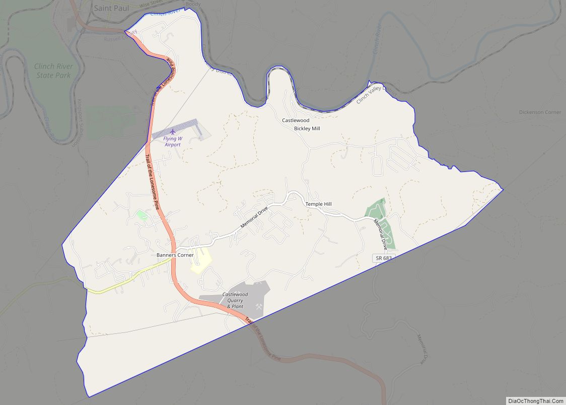
Castlewood is a census-designated place (CDP) in Russell County, Virginia, United States. The population was 2,045 at the 2010 census, a small increase from the 2,036 reported in 2000. Castlewood was an incorporated town from 1991 to 1997, when it reverted to unincorporated status.
| Name: | Castlewood CDP |
|---|---|
| LSAD Code: | 57 |
| LSAD Description: | CDP (suffix) |
| State: | Virginia |
| County: | Russell County |
| Elevation: | 1,614 ft (492 m) |
| Total Area: | 7.2 sq mi (18.7 km²) |
| Land Area: | 7.2 sq mi (18.6 km²) |
| Water Area: | 0.0 sq mi (0.0 km²) |
| Total Population: | 2,045 |
| Population Density: | 280/sq mi (110/km²) |
| ZIP code: | 24224 |
| Area code: | 276 |
| FIPS code: | 5113512 |
| GNISfeature ID: | 1502780 |
Online Interactive Map
Click on ![]() to view map in "full screen" mode.
to view map in "full screen" mode.
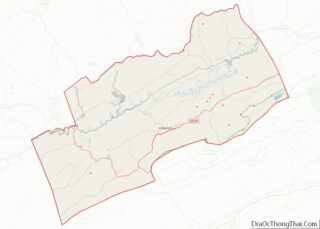
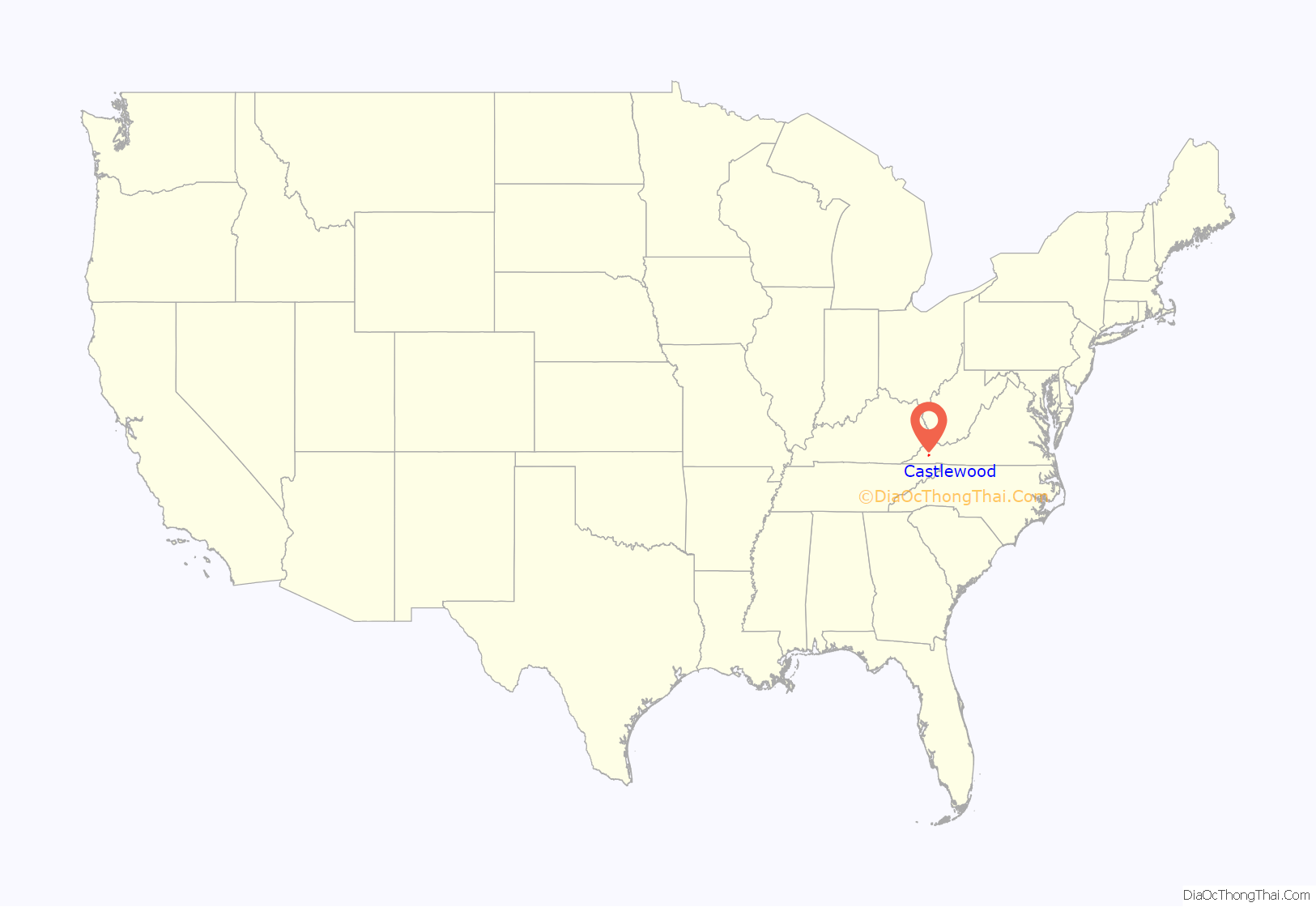
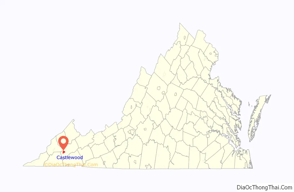
Castlewood location map. Where is Castlewood CDP?
History
It was originally named Castle’s Wood’s, as the land in the immediate area had once belonged to Jacob Castle, a frontiersman in the likes of Daniel Boone. Castle purchased the land from the Shawnee Indians, for very little in trade. It is reported that the purchase was made with the Shawnee Indians for a “hound dog, a knife, and a shot of whiskey. As a “Long Hunter”, he spent long periods of time in the wilderness on hunting expeditions. There he befriended the Indians that inhabited the land in the Castlewood area. He married a Shawnee woman by the name of Gliding Swan, and they produced many children. It has been said that Castle himself showed Daniel Boone the Cumberland Gap and areas west, which led to Boone’s expedition and settlement of said lands. Many descendants of Castle reside in Russell County, Virginia and the surrounding area. Castle’s father, Peter Cassell was a German emigrant to Pennsylvania who was influential in the Dutch movement to America. The name was modified to Castlewood by the United States Postal Service in the late 1800s, as a simplification of the original spelling and pronunciation, which was common during this time period.
The Castlerun Historic District and Mason-Dorton School are listed on the National Register of Historic Places.
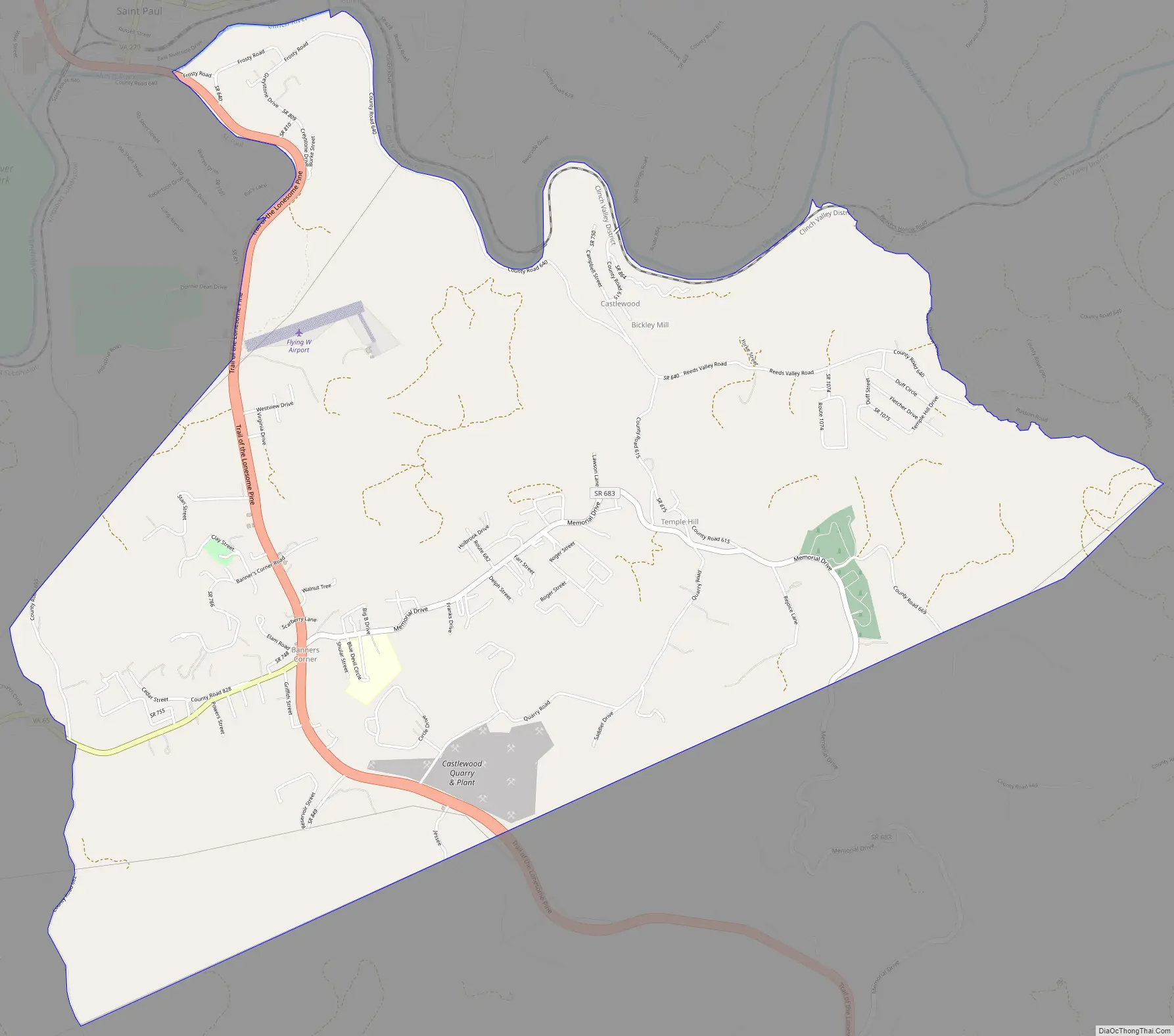
Castlewood Road Map
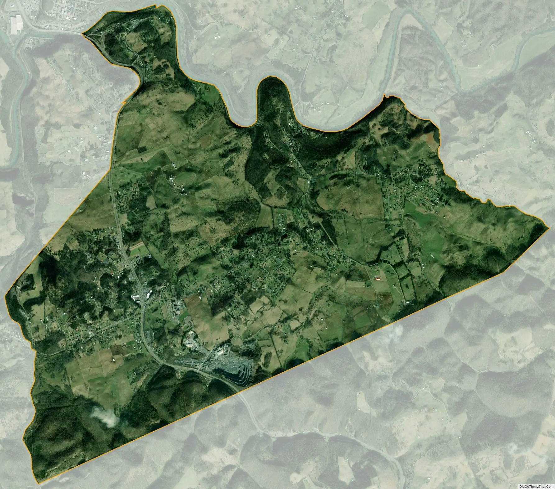
Castlewood city Satellite Map
Geography
Castlewood is located at 36°52′43″N 82°17′21″W / 36.87861°N 82.28917°W / 36.87861; -82.28917 (36.878614, −82.289229).
According to the United States Census Bureau, the CDP has a total area of 7.2 square miles (18.7 km), of which, 7.2 square miles (18.6 km) of it is land and 0.14% is water.
See also
Map of Virginia State and its subdivision:- Accomack
- Albemarle
- Alexandria
- Alleghany
- Amelia
- Amherst
- Appomattox
- Arlington
- Augusta
- Bath
- Bedford
- Bedford City
- Bland
- Botetourt
- Bristol
- Brunswick
- Buchanan
- Buckingham
- Buena Vista
- Campbell
- Caroline
- Carroll
- Charles City
- Charlotte
- Charlottesville
- Chesapeake
- Chesterfield
- Clarke
- Clifton Forge City
- Colonial Heights
- Covington
- Craig
- Culpeper
- Cumberland
- Danville
- Dickenson
- Dinwiddie
- Emporia
- Essex
- Fairfax
- Fairfax City
- Falls Church
- Fauquier
- Floyd
- Fluvanna
- Franklin
- Frederick
- Fredericksburg
- Galax
- Giles
- Gloucester
- Goochland
- Grayson
- Greene
- Greensville
- Halifax
- Hampton
- Hanover
- Harrisonburg
- Henrico
- Henry
- Highland
- Hopewell
- Isle of Wight
- James City
- King and Queen
- King George
- King William
- Lancaster
- Lee
- Lexington
- Loudoun
- Louisa
- Lunenburg
- Lynchburg
- Madison
- Manassas
- Manassas Park
- Martinsville
- Mathews
- Mecklenburg
- Middlesex
- Montgomery
- Nelson
- New Kent
- Newport News
- Norfolk
- Northampton
- Northumberland
- Norton
- Nottoway
- Orange
- Page
- Patrick
- Petersburg
- Pittsylvania
- Poquoson
- Portsmouth
- Powhatan
- Prince Edward
- Prince George
- Prince William
- Pulaski
- Radford
- Rappahannock
- Richmond
- Roanoke
- Roanoke City
- Rockbridge
- Rockingham
- Russell
- Salem
- Scott
- Shenandoah
- Smyth
- Southampton
- Spotsylvania
- Stafford
- Staunton
- Suffolk
- Surry
- Sussex
- Tazewell
- Virginia Beach
- Warren
- Washington
- Waynesboro
- Westmoreland
- Williamsburg
- Winchester
- Wise
- Wythe
- York
- Alabama
- Alaska
- Arizona
- Arkansas
- California
- Colorado
- Connecticut
- Delaware
- District of Columbia
- Florida
- Georgia
- Hawaii
- Idaho
- Illinois
- Indiana
- Iowa
- Kansas
- Kentucky
- Louisiana
- Maine
- Maryland
- Massachusetts
- Michigan
- Minnesota
- Mississippi
- Missouri
- Montana
- Nebraska
- Nevada
- New Hampshire
- New Jersey
- New Mexico
- New York
- North Carolina
- North Dakota
- Ohio
- Oklahoma
- Oregon
- Pennsylvania
- Rhode Island
- South Carolina
- South Dakota
- Tennessee
- Texas
- Utah
- Vermont
- Virginia
- Washington
- West Virginia
- Wisconsin
- Wyoming