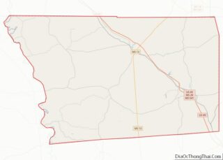
Freeborn County is a county in the state of Minnesota. As of the 2020 United States Census, the population was 30,895. Its county seat is Albert Lea. Freeborn County comprises the Albert Lea Micropolitan Statistical Area. Freeborn County overview: Name: Freeborn County FIPS code: 27-047 State: Minnesota Founded: February 20, 1855 Named for: William Freeborn ... Read more
Lake Superior Water body overview: Name: Lake Superior Water body State: Minnesota Lake Superior Water body location map. Where is Lake Superior Water body? Lake Superior Water body Road Map Lake Superior Water body Topographic Map Lake Superior Water body Satellite Map Lake Superior Water body Outline Map
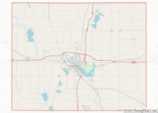
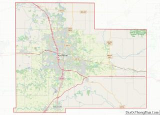
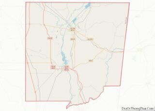
Olmsted County is a county in the U.S. state of Minnesota. As of the 2020 census, the population is 162,847. Its county seat and most populous city is Rochester. Olmsted County is part of the Rochester Metropolitan Statistical Area. Olmsted County overview: Name: Olmsted County FIPS code: 27-109 State: Minnesota Founded: February 20, 1855 Named ... Read more
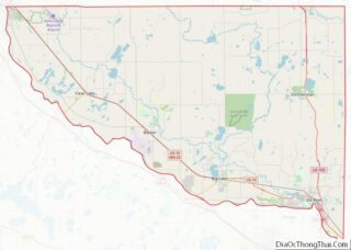
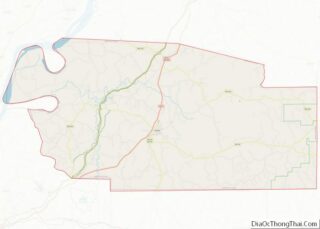
Sherburne County is a county in Central Minnesota. At the 2020 census, the population was 97,183. The county seat is Elk River. Sherburne County is included in the Minneapolis–St. Paul–Bloomington, MN-WI Metropolitan Statistical Area. Sherburne County overview: Name: Sherburne County FIPS code: 27-141 State: Minnesota Founded: February 25, 1856 Named for: Moses Sherburne Seat: Elk ... Read more
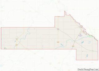
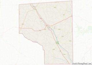
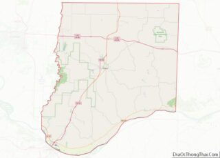
Yellow Medicine County is a county in the State of Minnesota. Its eastern border is formed by the Minnesota River. As of the 2020 census, the population was 9,528. Its county seat is Granite Falls. The Upper Sioux Indian Reservation, related to the historical Yellow Medicine Agency that was located here, is entirely within the ... Read more
Covington County is a county located in the U.S. state of Mississippi. As of the 2020 census, the population was 18,340. Its county seat is Collins. The county is named for U.S. Army officer and Congressman Leonard Covington. Covington County overview: Name: Covington County FIPS code: 28-031 State: Mississippi Founded: 1819 Named for: Leonard Covington ... Read more
Jefferson County is a county located in the U.S. state of Mississippi; its western border is formed by the Mississippi River. As of the 2020 census, the population was 7,260, making it the fourth-least populous county in Mississippi. Its county seat is Fayette. The county is named for U.S. President Thomas Jefferson. Originally developed as ... Read more
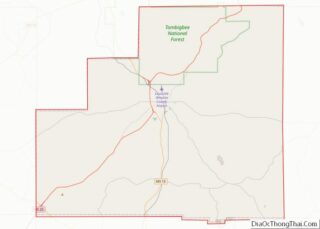
Monroe County is a county on the northeast border of the U.S. state of Mississippi next to Alabama. As of the 2020 census, the population was 34,180. Its county seat is Aberdeen. Monroe County overview: Name: Monroe County FIPS code: 28-095 State: Mississippi Founded: 1821 Named for: James Monroe Seat: Aberdeen Largest city: Amory Total ... Read more
Simpson County is a county located in the U.S. state of Mississippi. Its western border is formed by the Pearl River, an important transportation route in the 19th century. As of the 2020 census, the population was 25,949. The county seat is Mendenhall. The county is named for Josiah Simpson (1787-1817), a territorial judge who ... Read more
Winston County is a county located in the U.S. state of Mississippi. In the 2020 census, the population was 17,714. Its county seat is Louisville. The county is named for Louis Winston (1784–1824), a colonel in the militia, a prominent lawyer, and a judge of the Mississippi Supreme Court. The county is the site of ... Read more
Callaway County is a county located in the U.S. state of Missouri. As of the 2020 United States Census, the county’s population was 44,283. Its county seat is Fulton. With a border formed by the Missouri River, the county was organized November 25, 1820, and named for Captain James Callaway, grandson of Daniel Boone. The ... Read more
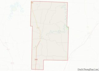
Dallas County is a county located in the U.S. state of Missouri. As of the 2010 census, the population was 16,777. Its county seat is Buffalo. The county was organized in 1842 as Niangua County and then renamed in 1844 for George M. Dallas, who served as Vice President under James K. Polk. Dallas County ... Read more